The walk through Thixen Dale is one of my favourite parts of the Wolds Way. Heading west from Fridaythorpe, you cross a nondescript farmer’s field before the valley opens out before you, like stepping into a new world. It’s a narrow, steep dry valley — one of many along this section of the Wolds Way. From here, it’s 1.5 miles to Thixendale, where the trail dissects the attractive village before ascending out of the dale and turning east towards Wharram Percy medieval village.
Although the trail beyond this is scenic, the drama of Thixen Dale and the surrounding dales to the west is over too quickly, and the Wolds Way actually misses some excellent dry valleys in this area. Having explored the region further on several of my Wolds Way circular walks, this route gives excellent value for its 11.5 miles, passing through Thixen Dale, Worm Dale and Open Dale before looping back east via the Centenary Way through the impressive Deep Dale, Brownmoor Dale and finally returning to Thixendale via a quiet road and one of my favourites in the entire Wolds, Water Dale. It’s a little‑explored corner of the Yorkshire Wolds that rewards you greatly, with two miles directly on the Wolds Way and time spent in the best valleys the main trail doesn’t showcase. If you’re considering walking the full National Trail, my Yorkshire Wolds Way trip report gives a detailed overview of the entire 79‑mile route.
Route Map: 11.5‑Mile Yorkshire Wolds Circular Walk via Thixen Dale and the Chalkland Way

Watch the Hidden Valleys Circular Walk Through the Yorkshire Wolds
Starting the Walk: Thixen Dale and the Wolds Way
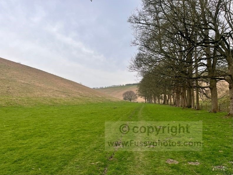
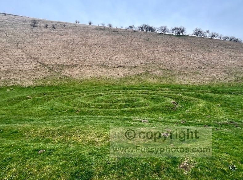
We ventured clockwise, the benefit being a glorious sunset through Deep Dale, Brownmoor Dale and Water Dale on our return. The first miles south along the Wolds Way are easy and flat. After passing through Thixen Dale and the Waves and Time artwork, take a right into the little‑travelled but beautiful Worm Dale.
Climbing Out of Worm Dale
The trail ascends gently to the top of the valley, bringing you out at a road before you take an immediate right onto a quieter lane and descend towards Painsthorpe. Views of Painsthorpe Dale are visible from the road, though sadly this is private land, so we continued west, leaving the road to cut through scenic fields towards Kirby Beck.
Across the Fields to Kirby Underdale
The path rejoins the road just east of Kirby Underdale, a tiny village with a church at its eastern edge. The route follows a trail through the cemetery before leading you north through farmers’ fields. We’ve dragged ourselves shin‑deep in mud on previous walks here, though luckily this time the route was grassy and uneventful until we reached Opendale Beck, where crossing requires wellies or clinging to a wooden fence and edging along a dry strip only inches wide before passing the kissing gate and ascending an overgrown field full of rabbits and surface water.
Mount Pleasant Farm to the Chalkland Way
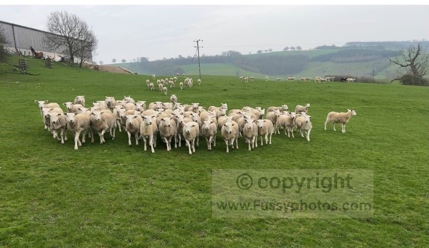
Reaching Mount Pleasant Farm, we were greeted by a crowd of sheep — excited by our arrival and presumably not very used to walkers this far west in the Wolds. They must have thought it was feeding time.
Beyond the farm, it would be easy to lose miles by following Gatehowe Road northwards, but you’d miss one of the highlights of the walk. After passing through another field or two westwards, we looped north, joining the Chalkland Way as it meanders east before looping back towards Pocklington. My Huggate Circular is another great route if you want more time on the Chalkland Way.
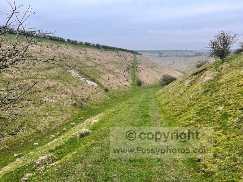
Exploring Deep Dale on the Chalkland Way
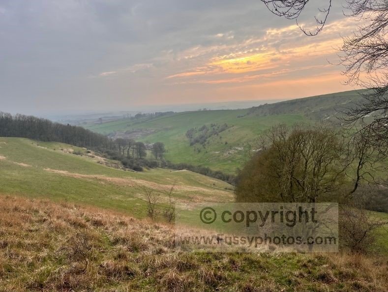
Despite passing this way a few times previously, we’d never ventured into Deep Dale and were impressed by its depth and length. The trail isn’t the easiest to follow unless you’re fit and mobile, as it ascends steeply out of the valley, but we were treated to an excellent sunset — one of many we’ve seen in this area.
Optional Shortcut via Milham Dale
The Chalkland Way then takes the shortest route back to Thixendale through Milham Dale, another excellent option if you wanted to cut the walk to under 10 miles.
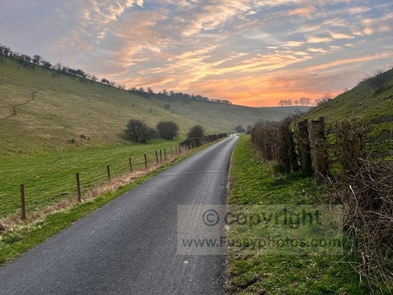
Brownmoor Dale and Water Dale: A Classic Wolds Finish
Instead, at the top of Deep Dale, we ventured northwards, the path running parallel to the valley before crossing a road and curving eastwards through Brownmoor Dale. Another of my favourite valleys in the area, this one can be tricky to cross when full of cattle, but we were lucky and had it all to ourselves, with a pretty sunset behind us. If you’re exploring more walks around Thixendale, my Wharram Percy circular is another rewarding option nearby.
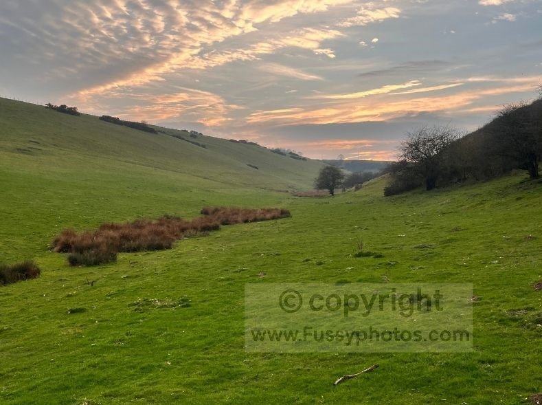
The final miles close the loop via Water Dale, a gorgeous, long, sinuous dry valley. I often wonder what it would have been like before the road was built, though as far as road walking goes, this is a top‑notch way to finish the loop.
FAQs
What is the best Yorkshire Wolds Way circular walk near Thixendale?
This 11.5‑mile loop combines the Wolds Way, Chalkland Way, and several quiet dry valleys, making it one of the best circular options in the area.
Can you combine the Wolds Way and Chalkland Way in one circular walk?
Yes — this route links both trails, giving you classic Wolds Way scenery and the quieter chalk valleys of the Chalkland Way.
Where can I park for this Thixendale circular walk?
There is free parking in Thixendale village, which is the best starting point for this loop.
Are the Yorkshire Wolds dry valleys muddy?
Some sections can be muddy after rain, especially near becks and field crossings, but most of the route is on firm chalk or grass.
Is this Yorkshire Wolds circular walk well signposted?
The Wolds Way and Chalkland Way sections are well waymarked; the linking field paths need basic navigation and a GPS is useful.
Explore More Wolds Way Guides
For more stages, circulars and planning tools, head back to the Yorkshire Wolds Way hub.