The Yorkshire Wolds Way offers 79 miles of gentle chalk landscapes, dry valleys and wide views from the Humber to Filey. Whether you’re planning the full trail or want to explore its best sections, this hub brings together itineraries, logistics, accommodation and circular walks — along with ideas and inspiration to help shape your own route.
Find Your Content
- Start Here — Essential Wolds Way Planning
- Accommodation on the Yorkshire Wolds Way
- The Full Yorkshire Wolds Way — My Trip Report
- Yorkshire Wolds Way — Stage Overviews
- Yorkshire Wolds Way Video Playlist
- Highlights & Local Features of the Yorkshire Wolds
- Best Circular Walks in the Yorkshire Wolds
Start Here — Essential Wolds Way Planning
If you’re new to the Yorkshire Wolds Way and want a clear, confidence‑building overview before diving into the details, start here. These guides explain how hard the trail really is, how to plan your stages, what to pack, how transport and exit points work, and when the Wolds are at their best. It’s the ideal first step before exploring the stage overviews, circular walks and wider landscape features further down the page.
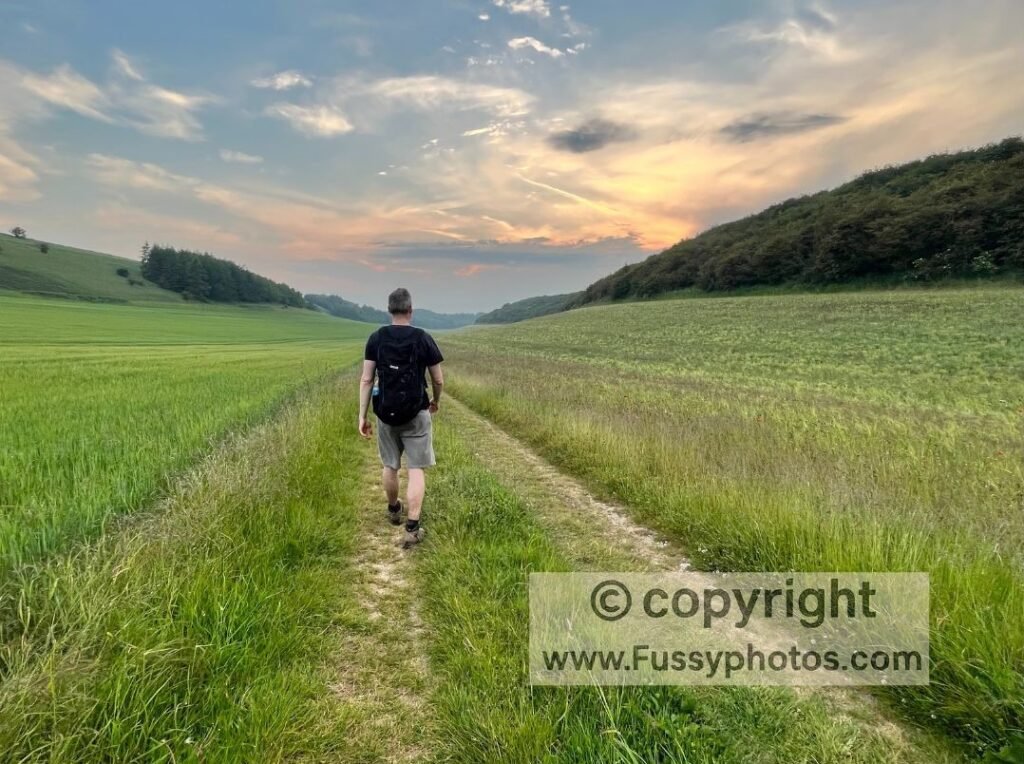
Is the Yorkshire Wolds Way Hard?
For a clear look at the terrain, elevation and daily demands, visit the Yorkshire Wolds Way Difficulty Guide:
Yorkshire Wolds Way Itineraries — 4, 5 and 6 day options
For detailed 4‑, 5‑ and 6‑day schedules with realistic overnight stops, see How to Walk the Yorkshire Wolds Way in Sections:
What to Pack for the Yorkshire Wolds Way
A simple, lightweight kit list for 4–6 day walks across chalk hills, dry valleys and quiet farmland:
Yorkshire Wolds Way FAQs
If you still have questions about planning, navigation, accommodation or logistics, my Yorkshire Wolds Way – FAQs page covers everything in one place.
Yorkshire Wolds Way Transport
For detailed transport, access points and section‑walking logistics, see the full guide to Wolds Way transport and exit options.
Best Time of Year to Walk the Wolds Way
The Wolds Way is at its most colourful and reliable in summer, with long days and dry ground. Thanks to the fast‑draining chalk and open dry valleys, the trail also stays walkable through spring and autumn, and even winter is far less muddy than on most UK routes.
Accommodation on the Yorkshire Wolds Way
From Hessle to Pocklington (just west of Millington), there are reliable accommodation options at the end of each stage. Once you head further north, however, settlements and amenities become fewer and farther apart. There are limited B&Bs and only a handful of campsites to choose from, and if you’re following a 6‑day itinerary, there’s no accommodation in Millington or Thixendale.
My How to Walk the Yorkshire Wolds Way in Sections page helps you plan your stages around these gaps, but the National Trails Accommodation Guide remains the most complete and up‑to‑date list of places to stay along the Yorkshire Wolds Way.
Download the National Trails Accommodation Guide →
The Full Yorkshire Wolds Way — My Trip Report
A four‑day journey across the full 79 miles of the Yorkshire Wolds Way, from Humber Bridge sunsets to the dry‑valley heartlands and the coastal finish at Filey — a complete trail experience told through point‑to‑point day hikes.
Yorkshire Wolds Way — Stage Overviews
A clear overview of the Yorkshire Wolds Way from Hessle to Filey, following the universally recommended stage breakdown used by most walkers. These short summaries show how the trail unfolds across quiet dry valleys, rolling tops and wide chalk‑land views. They’re a helpful way to understand the daily rhythm of the route — but you can easily follow your own itinerary, combining or shortening stages to suit your pace, accommodation needs or preferred walking style.
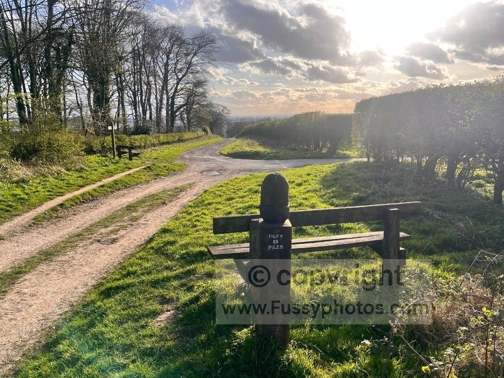
Hessle → South Cave – 13 miles
A flat, easy start beneath the Humber Bridge, with the estuary beside you and the bridge visible for the first few miles. Beyond North Ferriby and Welton, the trail leaves the commuter belt and enters its first quiet valley at Welton Dale. The final miles towards South Cave feel increasingly rural, with woodland, rolling tops and early hints of the chalk landscape to come.
South Cave → Market Weighton – 12 miles
A gentle climb past the Little Wold Vineyard leads onto open tops with long views back to the Humber. The descent into Swin Dale is the first proper dry‑valley moment of the trail — calm, grassy and atmospheric. North of Newbald, the route stays high, skirting farmland and archaeological sites before dropping either into Goodmanham or along the old railway line into Market Weighton.
Day 2 Route Choice: Market Weighton or Goodmanham
A clear guide to the Day 2 split between Market Weighton and Goodmanham, comparing the Hudson Way railway path with the direct Wolds Way route, including pros, cons and onward options through Londesborough Park.
Click below to read the guide.
Market Weighton → Millington – 8.5 miles
A relaxed stage through Londesborough Park, with mature trees, open parkland and a welcome change of character after the farmland miles. Beyond Nunburnholme, the landscape begins to rise and fall more noticeably. Approaching Millington, the ground suddenly drops away into a cluster of superb dry valleys — Millington, Sylvan Dale, Nettle Dale and Pasture Dale — one of the most scenic stretches on the entire trail.
Millington → Thixendale – 12 miles
Short, steep climbs out of the Millington valleys give way to easier walking towards Huggate. This whole area is rich in dry valleys, and the trail threads between them before reaching Fridaythorpe. The final miles into Thixendale are classic Wolds: quiet, sheltered dales, curving valley floors and a peaceful finish into one of the most scenic villages on the route.
Thixendale → Sherburn – 19 miles
A long, varied stage with some of the best dry‑valley scenery on the trail. The climb out of Thixendale gives elevated views down Thixen Dale and across to Water Dale. Beyond Wharram Percy, the valleys fade and the route opens onto the northern escarpment, with wide views across the Vale of Pickering. The cambered paths near Settrington Beacon and Wintringham can be surprisingly tiring before the final descent into Sherburn.
Sherburn → Filey – 17 miles
The Wolds gradually give way to the coast. The early miles undulate across farmland before the chalk escarpment turns east towards Flamborough Head, visible for much of the day. The final approach to Filey is easy and flat, ending at the National Trail sculpture on Filey Brigg — a quiet, understated finish after 79 miles of rolling chalk country.
If you’d like to continue along the Yorkshire coast from Filey Brigg, my final day on the Cleveland Way — Cloughton → Scarborough → Filey Brigg — is a superb clifftop finale with huge sea views.
Yorkshire Wolds Way Video Playlist
A curated playlist of short films from across the Yorkshire Wolds Way, including circular walks, dry‑valley highlights and trail‑wide viewpoints — ideal for getting a feel for the landscape before choosing your own route.
Highlights & Local Features of the Yorkshire Wolds
A curated look at the most distinctive landscapes, viewpoints and local features across the Yorkshire Wolds Way. These guides highlight the trail’s classic dry valleys, its best photo spots, wider geological context and notable locations featured in external sources. They’re an easy way to explore the character of the Wolds beyond the stage‑by‑stage summaries, and to dive deeper into the scenery you’ll encounter on the trail.
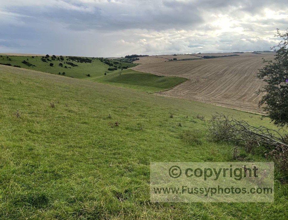
Top 10 Highlights of the Yorkshire Wolds Way
A ranked look at the most memorable landscapes, dry valleys and viewpoints on the Yorkshire Wolds Way, drawn from both thru‑walk miles and later return visits.
The Dry Valleys Explained (Geology & Landscape)
A simple guide to how the Wolds’ famous dry valleys were shaped during the last Ice Age.
BBC: Hidden Treasures of the Wolds Way
The BBC’s Hidden Treasures of the Wolds Way explores stories and locations across the wider Yorkshire Wolds — including places both on and off the National Trail. Two of the landscapes featured, Wharram Percy and Bempton Cliffs, can be explored on foot through my Wharram Percy Circular and Bempton Cliffs Circular routes.
External link: BBC One – Yorkshire Wolds Way – Hidden Treasures of the Wolds Way
Best Circular Walks in the Yorkshire Wolds
These circulars all include classic Yorkshire Wolds scenery — from dry valleys to big‑sky ridges — giving walkers an easy way to sample the landscape without committing to longer point‑to‑point routes.
Southern Wolds
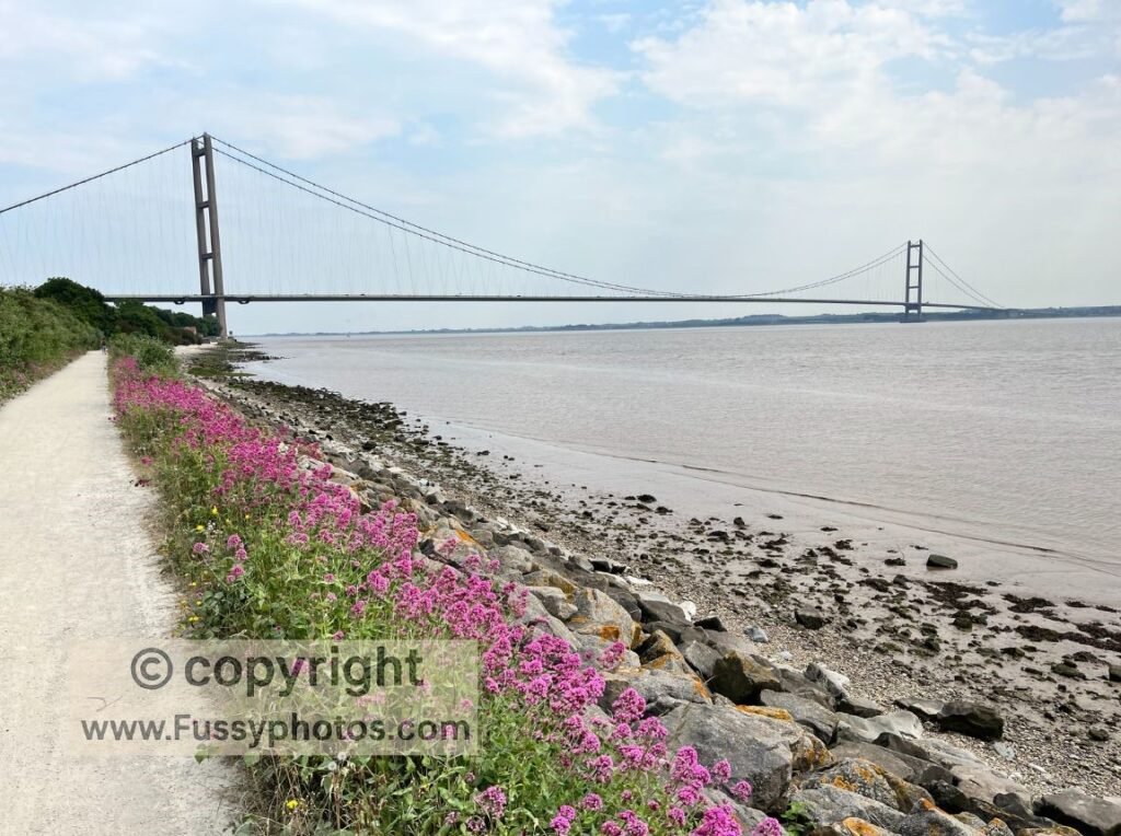
A peaceful 6‑mile loop from Welton through Welton Dale, woodland and open farmland — a gentle introduction to the southern Yorkshire Wolds.
Central Dry Valleys
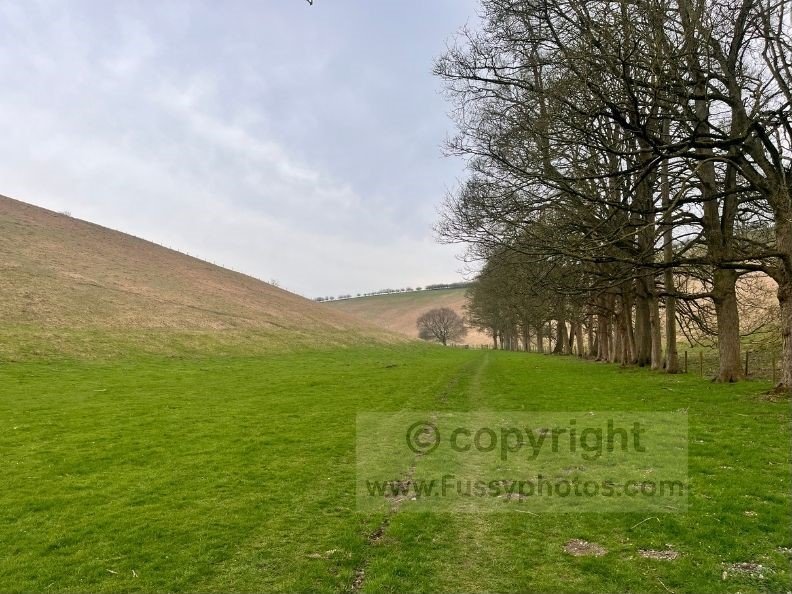
A quiet 11.5‑mile loop linking Thixen Dale, Worm Dale, Deep Dale and Water Dale — the Wolds’ most dramatic dry‑valley scenery in a single circuit.
A 12‑mile loop linking Wayrham Dale, Bradeham Dale, Thixen Dale, Milham Dale, Open Dale and Deep Dale — a secluded circuit combining classic dry‑valley scenery with big Wold views and a pub stop in Thixendale.
A 10‑mile loop from Huggate linking Pasture Dale, Frendal Dale, Tun Dale, Horse Dale and Rabbit Dale — five classic dry valleys in one varied circuit.
A 9‑mile Wolds Way circular linking three trail highlights with classic dry‑valley scenery, including Horse Dale, Holm Dale and the sweeping valley approaches to Fridaythorpe.
An 8‑mile loop from Millington combining a high‑ridge ascent, quiet farmland and classic Wolds Way dry‑valley scenery with wide views across the chalk hills.
Northern Wolds
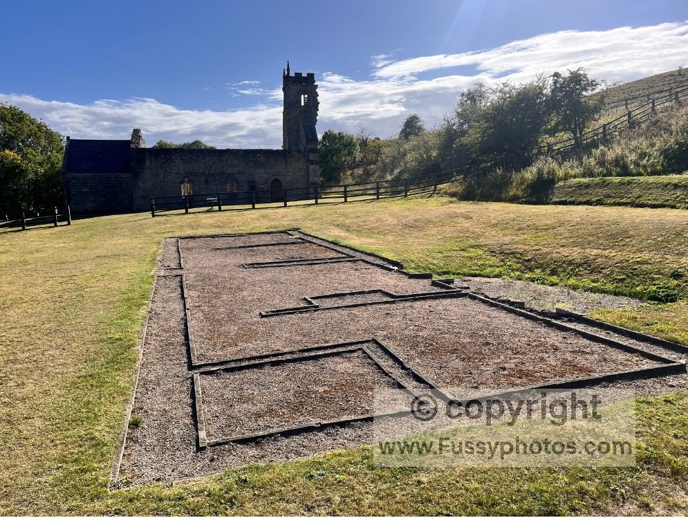
A 9.5‑mile loop from Thixendale to Wharram Percy, linking six classic dry valleys with the best‑preserved deserted medieval village in Britain.
A dramatic chalk‑cliff circuit linking puffins, gannets, seal‑filled bays and the full sweep of Flamborough Head.
Explore More Long‑Distance Routes
The Pennine Way
Explore my full Pennine Way hub for detailed stage guides, logistics, circular walks and planning advice across Britain’s most iconic 268‑mile National Trail.
Coast to Coast
Explore the full Coast to Coast in my dedicated hub — a complete planning resource covering every stage of the 190‑mile route from the Lake District to the North York Moors.