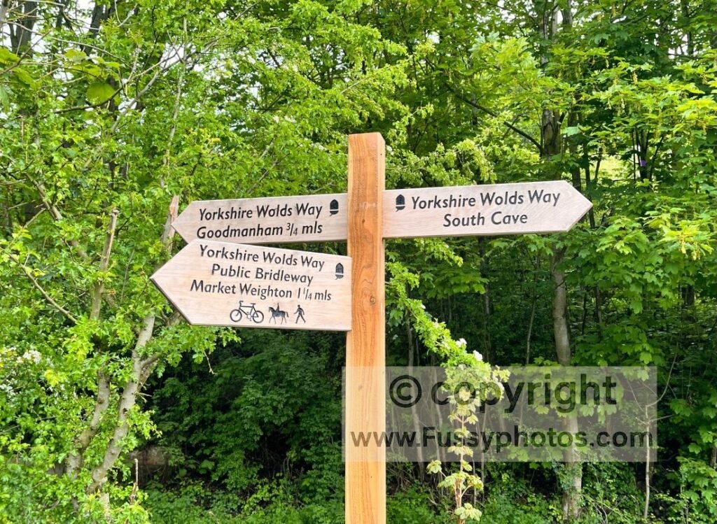
The official end of Day 2 on the Yorkshire Wolds Way is listed as Market Weighton or Goodmanham — two very different places. Market Weighton is by far the larger, with shops, pubs and a hotel. Goodmanham is a small village known for its popular pub but little else.
Roughly 10.5 miles after leaving South Cave, walkers reach the point where the trail splits. The question becomes simple:
Should you finish Day 2 in Market Weighton or Goodmanham?
Because Goodmanham has no accommodation, many walkers naturally follow the Hudson Way into Market Weighton — an old railway line now incorporated into the Wolds Way. But both options have pros and cons.
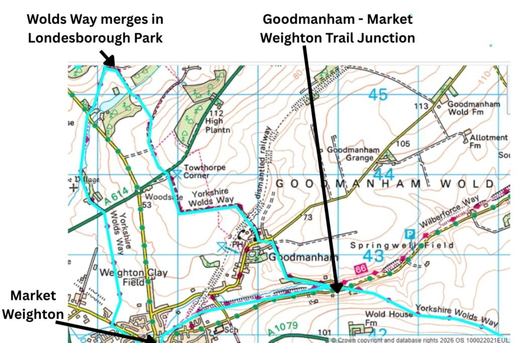
Trail Map — Comparing the Market Weighton and Goodmanham Routes
The Hudson Way Route into Market Weighton
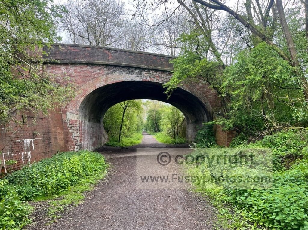
The Hudson Way is a flat, easy path along the former Beverley–Market Weighton railway line. Today it’s a well‑used track popular with dog walkers and cyclists. Navigation is simple, and it brings you directly into the centre of Market Weighton, where you’ll find:
- pubs
- shops
- accommodation
It’s not the most exciting trail, but it is practical.
A key advantage is that you don’t need to walk back to the Market Weighton–Goodmanham junction the next morning. Instead, the Wolds Way alternative route continues through the western edge of Market Weighton, crossing flat farmland before entering Londesborough Park and rejoining the main trail via a farm track.
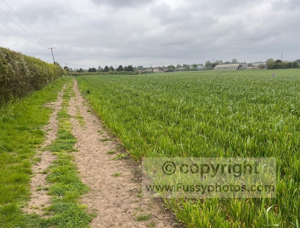
This western approach is easy and similar in mileage, but it’s not especially scenic — and it skips the more attractive eastern entrance into Londesborough Park.
The Direct Wolds Way Route Through Goodmanham
To bypass Market Weighton, walkers stay on the main Wolds Way for a short stretch of road walking (around ¾ mile) before reaching Goodmanham.
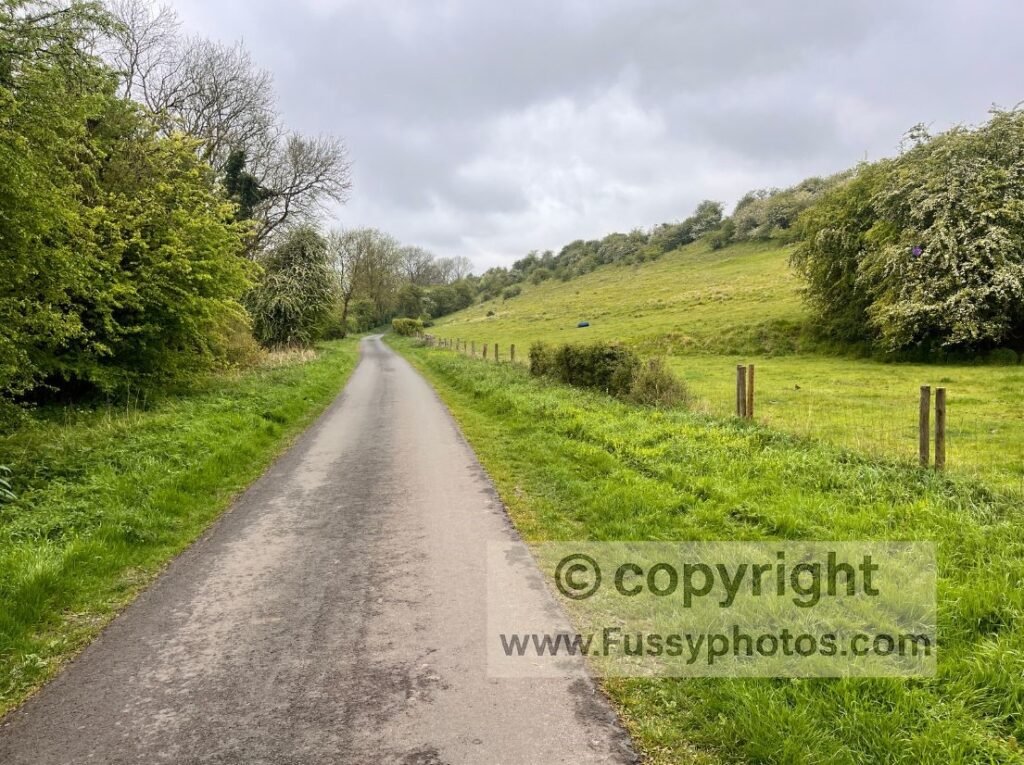
The pub here is well‑known and frequently mentioned by Wolds Way walkers, but there is no accommodation.
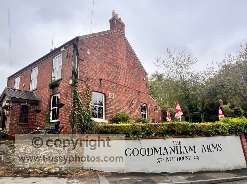
If you want to end your day here, you’ll need to:
- walk the 1.5 miles into Market Weighton, or
- arrange a taxi
Otherwise, Goodmanham works best as a rest stop around 12 miles into the day (assuming you started in South Cave) before continuing north towards Londesborough Park.
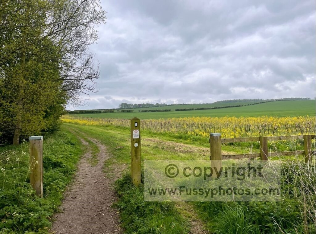
The trail between Goodmanham and the park is fairly ordinary, but once inside Londesborough Park the route becomes more varied and enjoyable.
For a wider look at the most scenic places on the Yorkshire Wolds Way — including Londesborough Park — my Top 10 Wolds Way Highlights guide shows the best dry valleys, viewpoints and landscape sections across the trail.
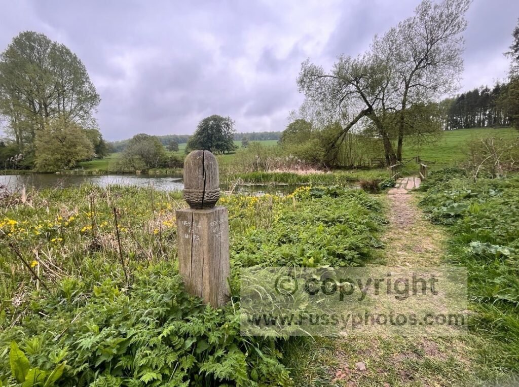
This eastern approach takes you past Pond Wood and a small lake before merging with the Market Weighton alternative route.
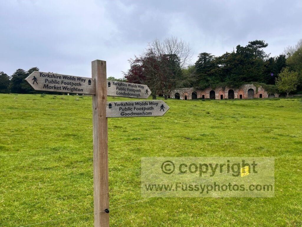
Londesborough itself is tiny, as is Nunburnholme, the next village. If you don’t stay in Market Weighton, your realistic options are:
- a taxi
- or a long onward push to Pocklington for accommodation
Should You Continue Beyond Day 2 Towards Millington or Pocklington?
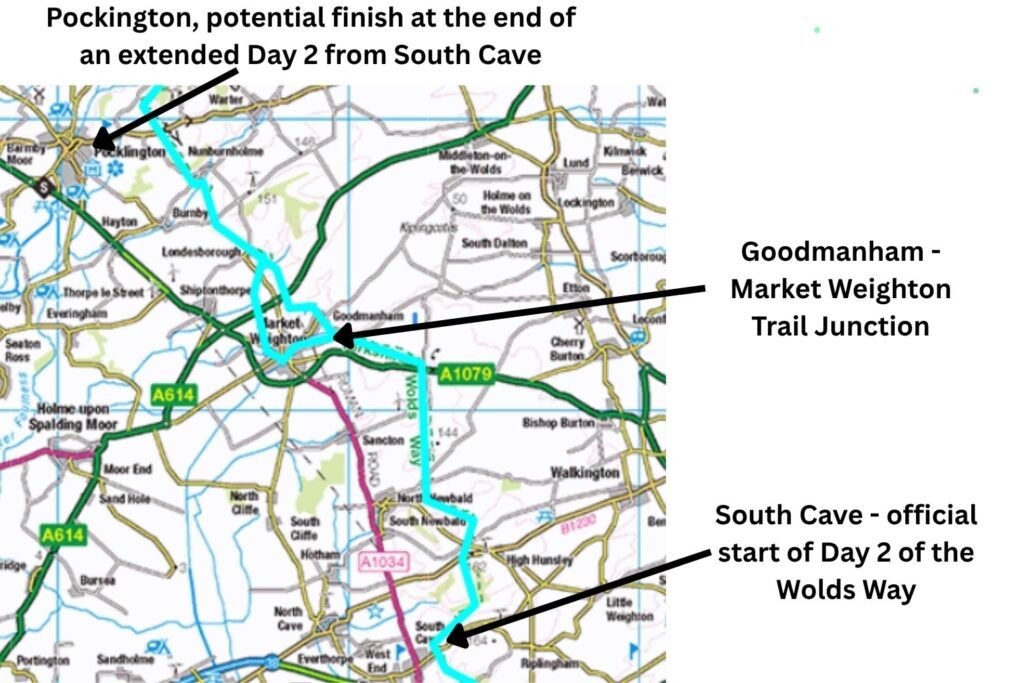
Of course, there’s no requirement to stop at either Market Weighton or Goodmanham. For many walkers, the official 12‑mile day from South Cave is short enough to continue further — sometimes combining Days 2 and 3 into a longer 20‑mile push to Millington. On a National Trail as gentle as the Wolds Way, that’s entirely achievable. Continuing beyond Millington also allows you to leave the trail early and walk into Pocklington, adding only a mile or so.
Wider‑Context Map — Millington and Pocklington Extensions
Final Thoughts
Whichever option you choose — finishing in Market Weighton, stopping briefly in Goodmanham, or continuing towards Millington or Pocklington — Day 2 of the Yorkshire Wolds Way is straightforward, well‑waymarked and easy to manage. The key is simply deciding how far you want to walk and where you want to end your day.
Key Facts: Day 2 South Cave to Market Weighton / Goodmanham
- Distance: 12 miles (19 km) from South Cave to Market Weighton or Goodmanham.
- Difficulty: Fairly easy walking with steady gradients and clear waymarking.
- Views: Early wide views south towards the Humber after climbing out of South Cave.
- Dry Valleys: Descends through Swin Dale, a classic Yorkshire Wolds dry valley.
- Nearby Village: Within 2 km of North Newbald, known for its Norman church and two pubs.
- Route Split: In Spring Dale, the Yorkshire Wolds Way divides — one branch follows the Hudson Way into Market Weighton, the other continues north to Goodmanham.
- Hudson Way: Follows the former railway promoted by George Hudson, linking Market Weighton and Beverley.
More Yorkshire Wolds Way Guides
If you’re planning the full Yorkshire Wolds Way, return to the hub for every stage, route option and onward planning point.