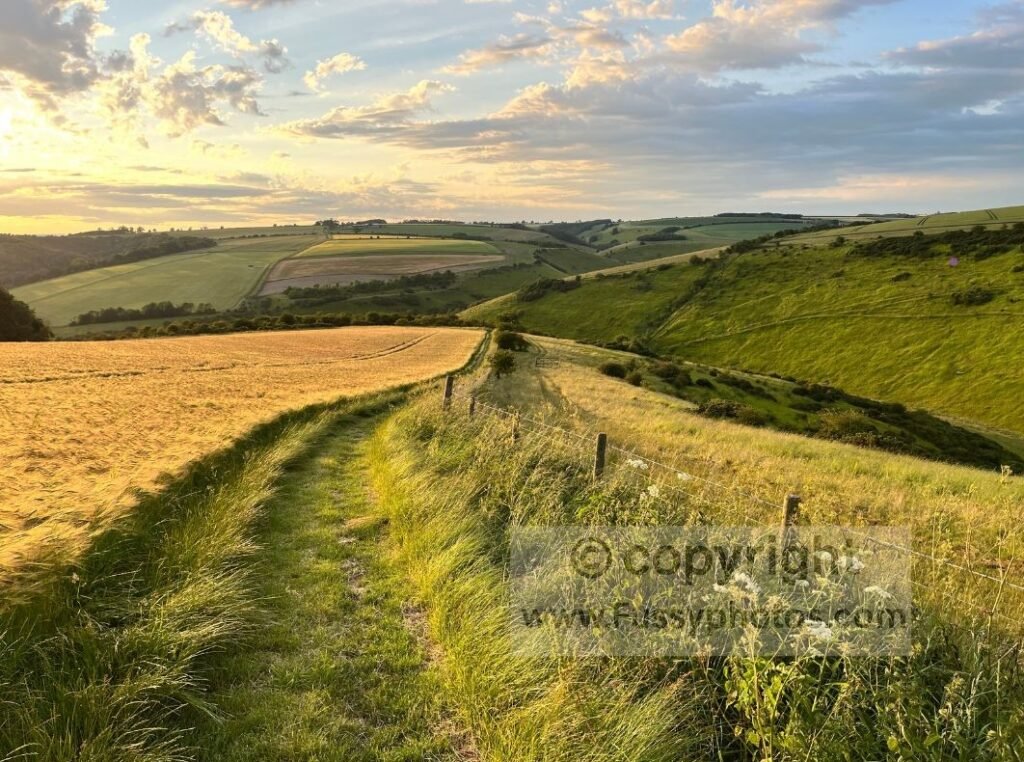
The Yorkshire Wolds Way is the shortest National Trail at just 79 miles. It’s a serene route beginning at the Humber Bridge near Hull, weaving through villages and farmland before entering a dense cluster of dry valleys — many of which feature in this top 10. Following the chalkland scenery north, the trail eventually loops east to finish at Filey.
It’s a subjective list, and you’re welcome to disagree — the comments on my YouTube clip below are a great place to share your thoughts. Here are my top 10 highlights, counting down from 10 to 1.
Yorkshire Wolds Way Highlights Video
A mix of thru‑walk footage and later circular‑walk revisits showing the trail’s best dry valleys and viewpoints.

10. Welton Dale
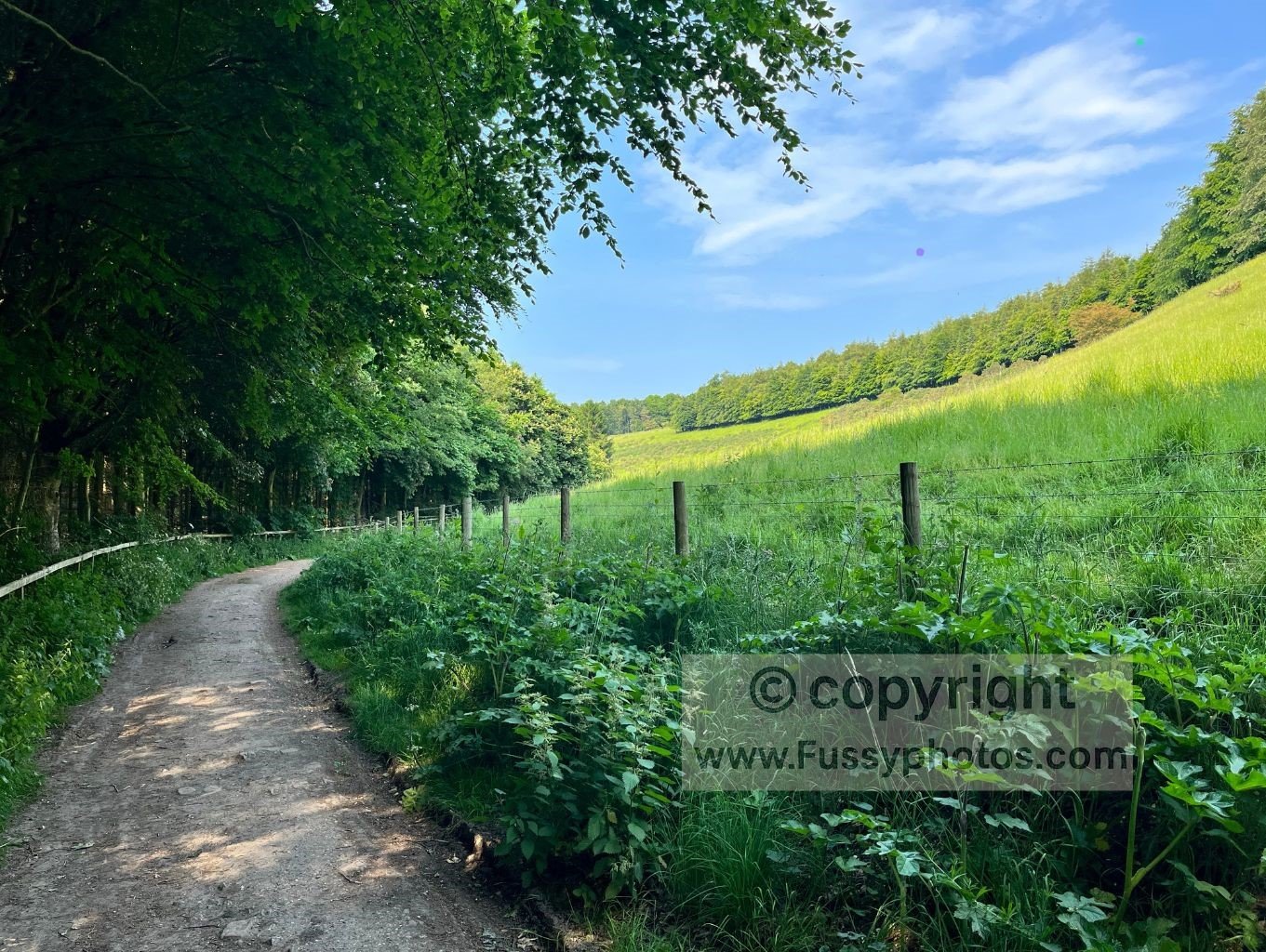
The middle miles of the Yorkshire Wolds Way are inseparable from the gorgeous dry valleys that define the trail. Welton Dale, the first you’ll encounter on Day 1, is a peaceful, shaded 1.5‑mile stretch of woodland and green slopes — a perfect early introduction to the Wolds.
If you’d like to explore Welton Dale without walking the full National Trail, my Welton Circular Walk follows this exact dry valley and offers a short, peaceful loop through woodland, farmland and classic Wolds scenery.
9. Brubber Dale
If you walked the trail without checking the map, Brubber Dale would feel like another dry valley that appears out of nowhere after a serene stretch of farmland.
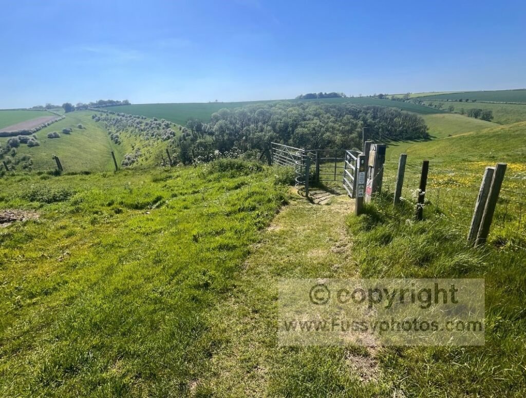
The dale runs north–south, and the Wolds Way enters from the east before turning right and descending by a gentle slope into a timeless green valley with smooth, sinuous sides.
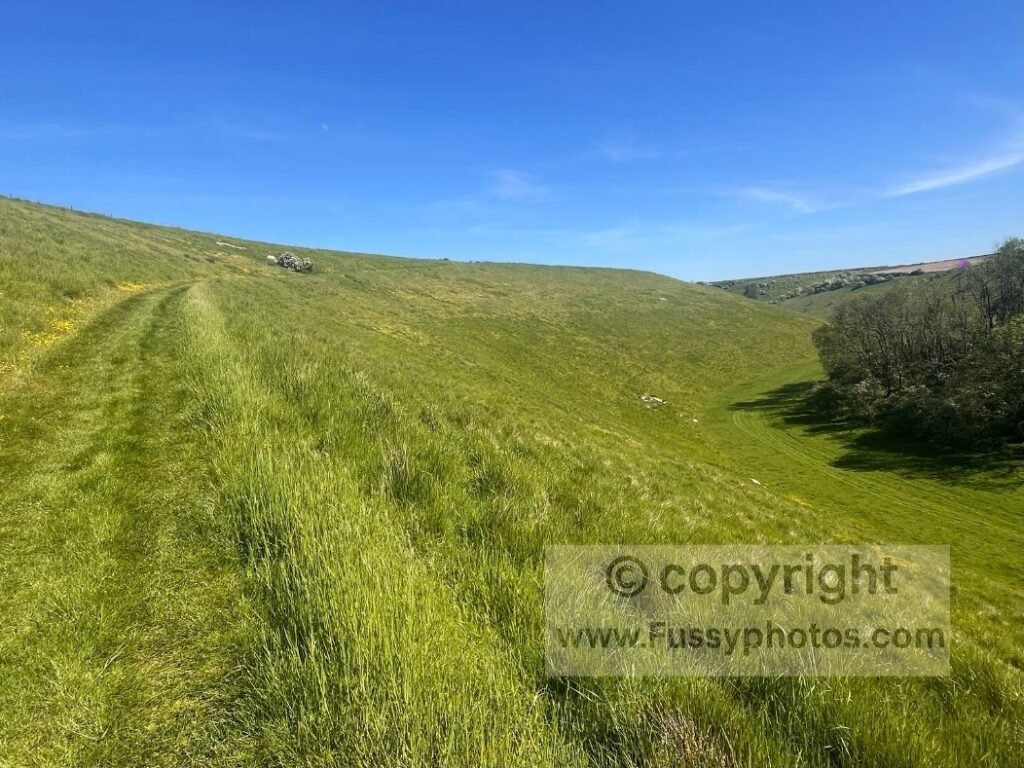
It’s over all too quickly — the trail soon climbs again, carrying you west towards Thixen Dale.
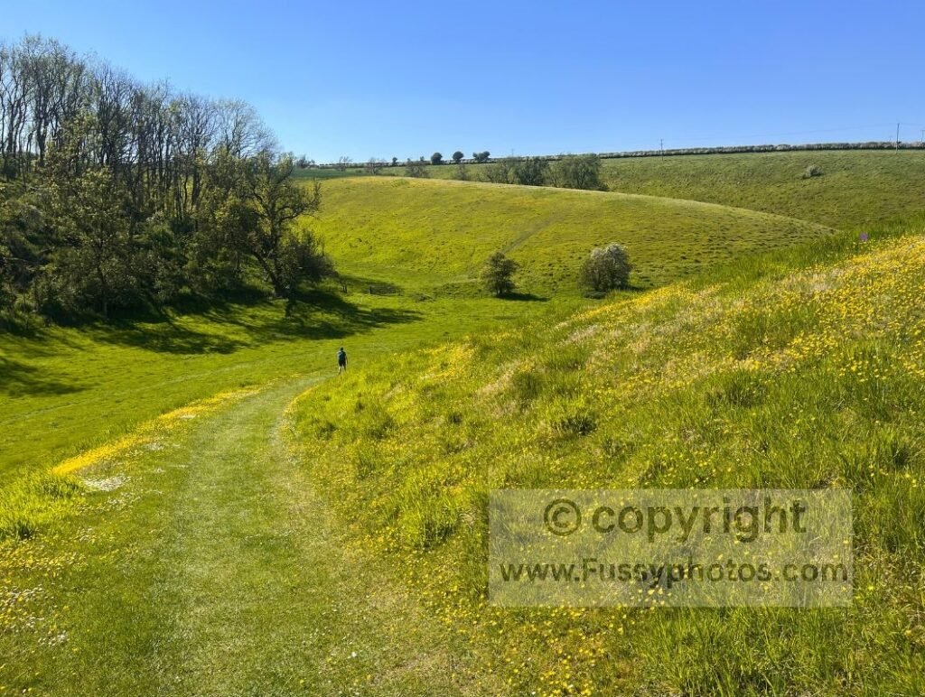
If you’d like to explore Brubber Dale, Thixen Dale and Horse Dale in a single nine‑mile loop, my Wolds Way Circular: Walk 3 Trail Highlights follows this exact section of the National Trail and showcases three of the finest dry valleys on the Yorkshire Wolds.
8. Deep Dale to Wharram Percy
The area around Thixendale contains one of the highest concentrations of dry valleys on the trail. Deep Dale, a few miles north of the village, begins as a gentle valley before widening, deepening and curving north towards Wharram Percy. In summer, the yellow rapeseed fields make it especially memorable — as did the rainbow I once saw stretching across the dale.
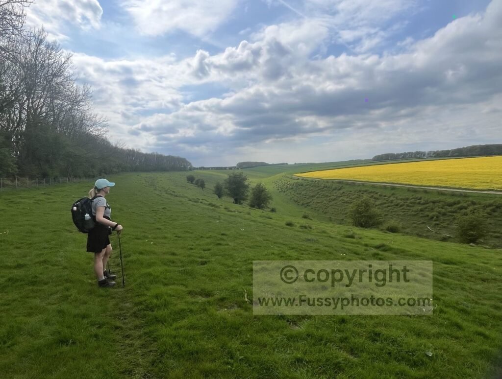
Cows are common here; they’re used to walkers but not always keen to move.
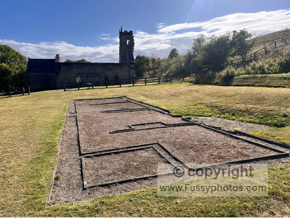
Wharram Percy, a deserted medieval village, sits directly on the trail with ruins, foundations and information boards.
If you’d like to explore Deep Dale and Wharram Percy on a shorter, self‑contained loop, my Wharram Percy Circular Walk follows this exact section of the Wolds Way and links six superb dry valleys in a 9.5‑mile route from Thixendale.
7. Horse Dale – Holm Dale
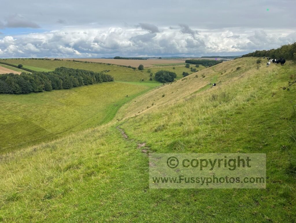
Huggate is one of my favourite walking areas, with a large cluster of dry valleys offering endless circular options. Horse Dale isn’t strictly on the Yorkshire Wolds Way, though it’s visible from the trail as you descend 65 metres before turning north into Holm Dale. The views west along Horse Dale are excellent, with a bench perfectly placed at the top of the descent.
If you’d like to walk the full length of Horse Dale rather than just viewing its eastern end from the Wolds Way, my Huggate Circular Walk explores the entire valley before looping through Frendal Dale, Tun Dale and Rabbit Dale in a varied 10‑mile route.
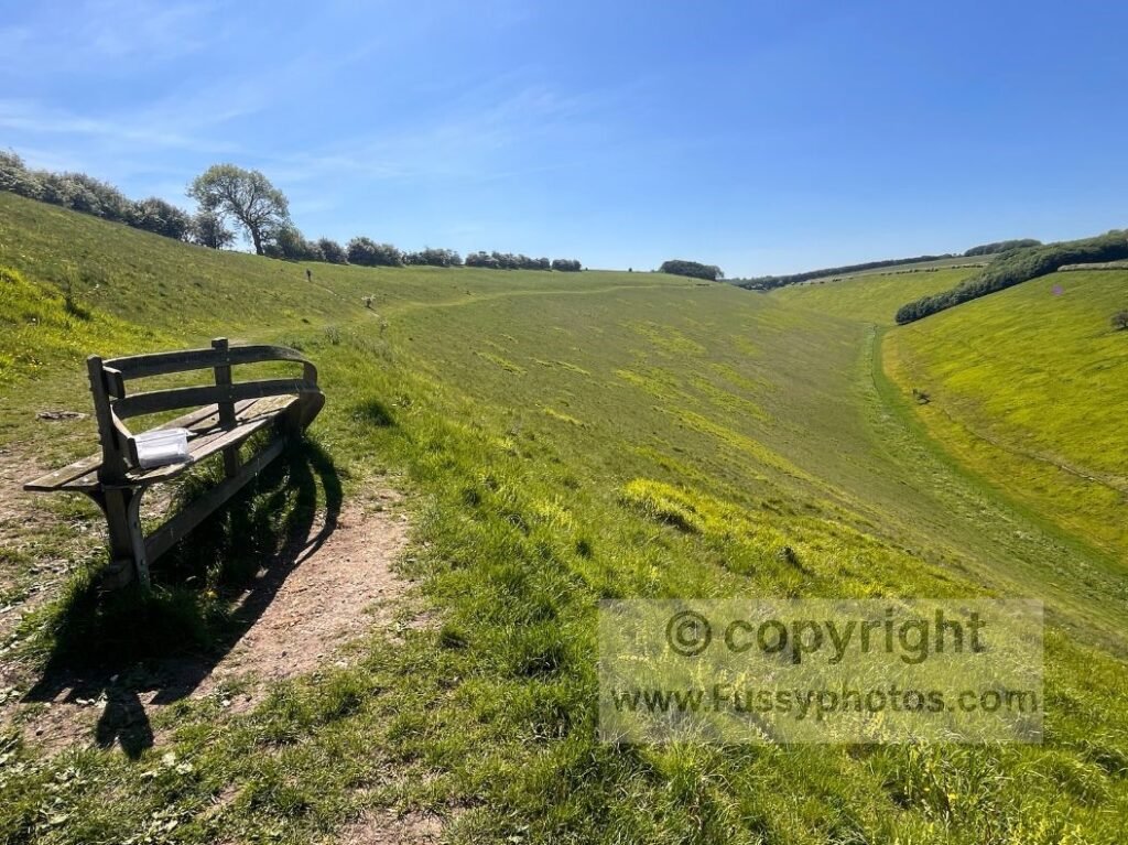
Holm Dale is less dramatic but deceptively long and steep as you climb north towards Fridaythorpe on Day 4.
6. Swin Dale
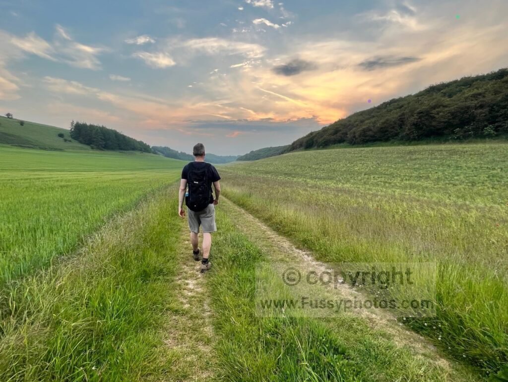
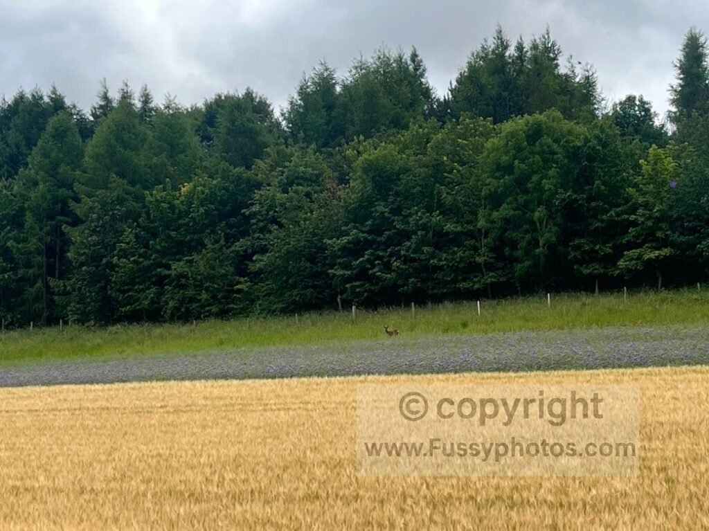
A long dry valley towards the southern end of the trail, most walkers pass through Swin Dale on Day 2. The trail skirts the edge of a field before dropping steeply into the dale, which continues for around 1.6 miles. We saw a badger and deer here on a warm summer’s day, and I’ve returned several times for the wildflowers — they can be spectacular.
It’s one of the calmest, most atmospheric places on the whole trail, and a superb spot for sunsets.
Although most walkers reach Swin Dale on Day 2, I walked it on Day 1 — and my Yorkshire Wolds Way trip report covers this stretch exactly as I experienced it, including the wildlife, summer light and the long descent into the valley.
5. Thixendale to Vessey Pasture Dale
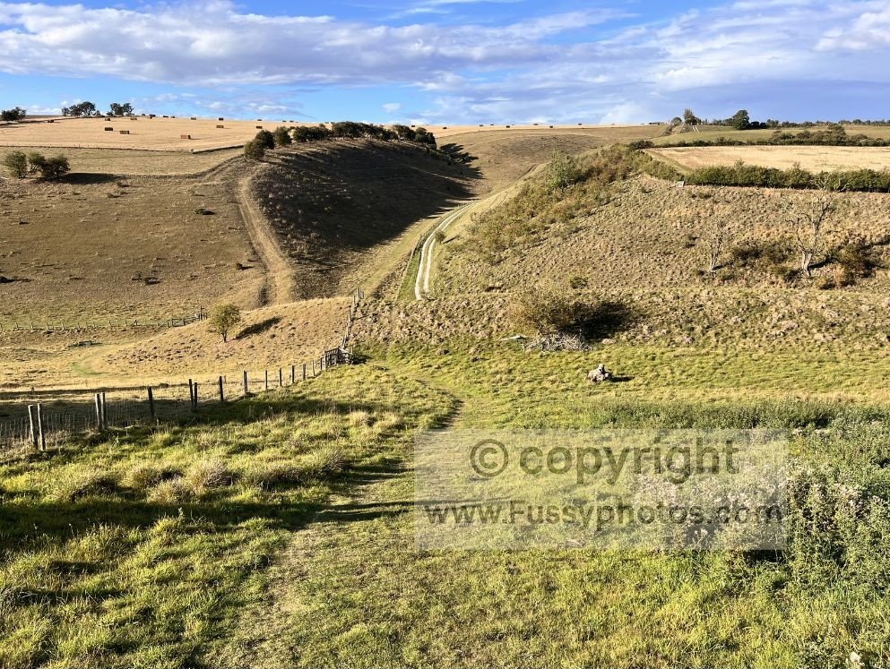
The Yorkshire Wolds Way, Chalkland Way and Centenary Way all pass through Thixendale, and the surrounding scenery makes it obvious why. The ascent out of the village is tough — especially on our 25‑mile day from Huggate to Sherburn — but the views west down Thixen Dale are excellent.
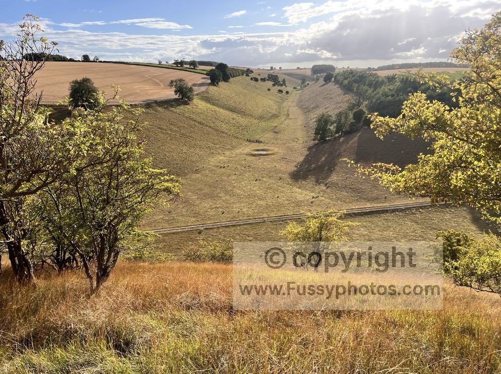
There are also elevated views into Water Dale, a beautiful valley that features in one of my Thixendale circular walks. After climbing around 70 metres, the trail follows the edge of a field before dropping into and climbing out of Vessey Pasture Dale, another beautiful dry valley, before continuing towards Deep Dale and Wharram Percy.
To explore Deep Dale and Wharram Percy on a shorter, self‑contained loop, my Wharram Percy Circular Walk follows this route and links six superb dry valleys in a 9.5‑mile route from Thixendale.
4. Humber Bridge
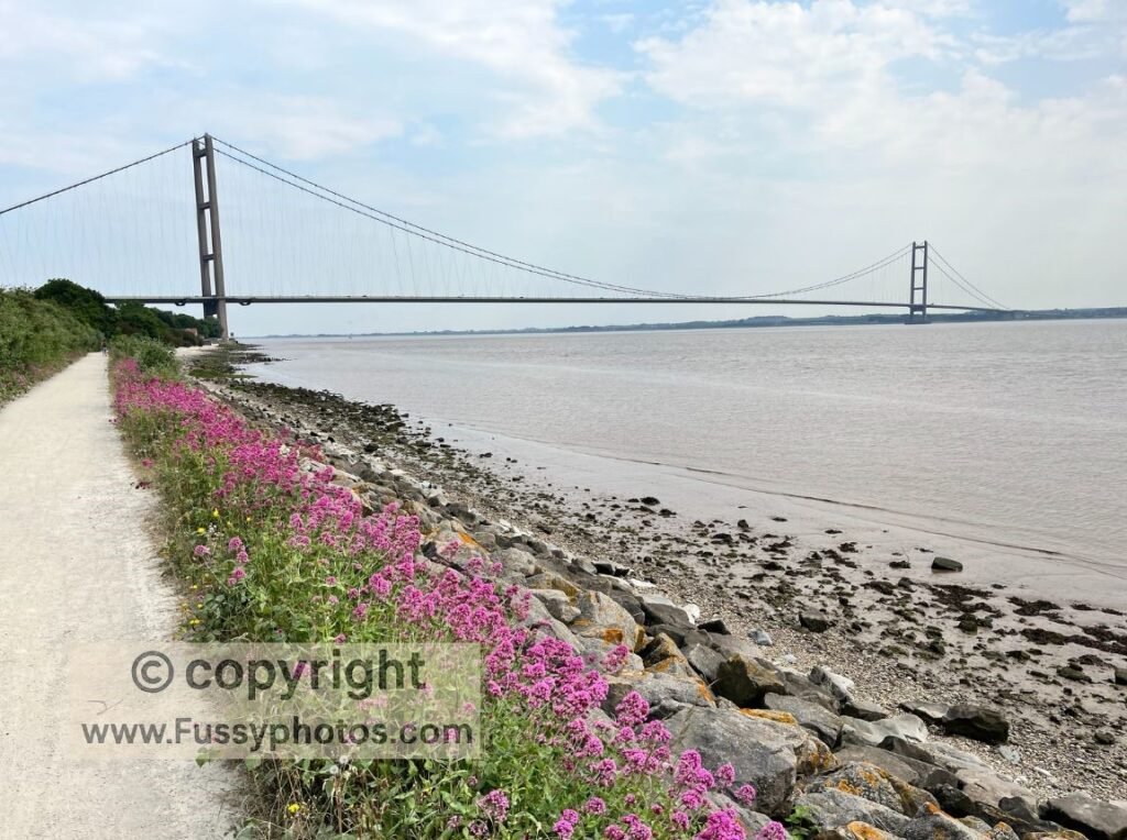
The standout landmark of East Yorkshire, the Humber Bridge marks the beginning of the Yorkshire Wolds Way, which passes directly beneath it.
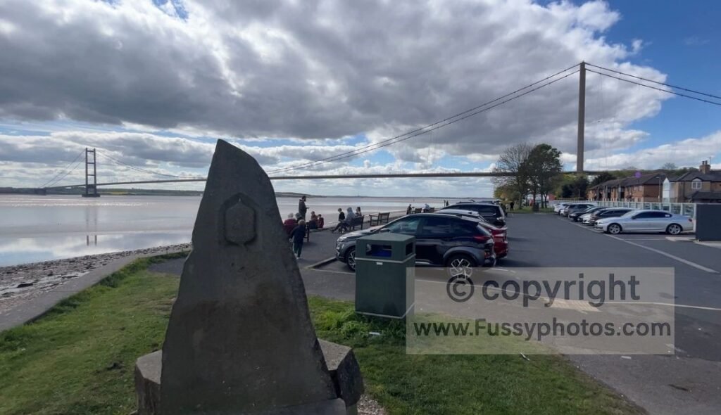
Once the longest single‑span suspension bridge in the world, it’s vast and unmistakable. It may not have the drama of the Golden Gate Bridge — perhaps due to the flatter landscape and lack of red paint — but it’s iconic nonetheless. The bridge dominates the first 2.5 miles of the trail and remains visible at various points, especially before the descent into Brantingham.
3. Filey Brigg
The Wolds Way ends abruptly north of Filey at Filey Brigg, a mile‑long headland marking the northern end of Filey Bay. Beyond the acorn sculpture that signifies the end of the Yorkshire Wolds Way, the peninsula pushes east into the North Sea, offering a superb vantage point from which to extend your walk a little further.
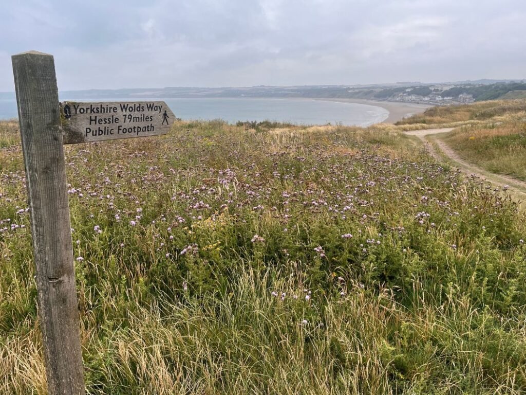
After days of dry valleys and farmland, the sudden arrival of open sea, cliffs and a long wave‑cut platform feels dramatic. The trail narrows as it approaches Carr Naze, with the ground falling away on both sides — a rare moment on the Wolds Way where you can see the coastline simultaneously to your left and right. It’s an excellent viewpoint, especially at low tide when Filey Brigg, Brigg End and Spittal Rocks are fully exposed.
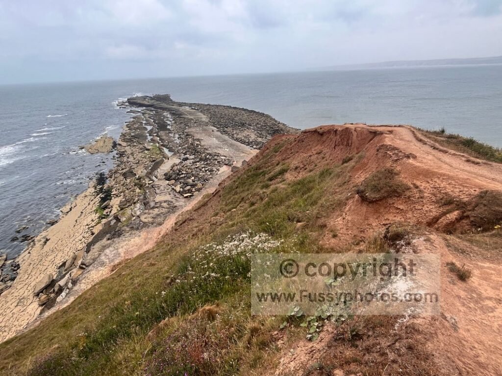
With so little water elsewhere on the trail, this coastal finale is a striking contrast and a memorable end to the route.
2. Thixen Dale
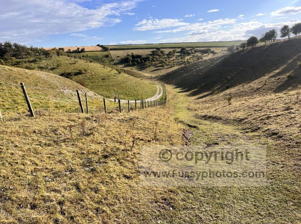
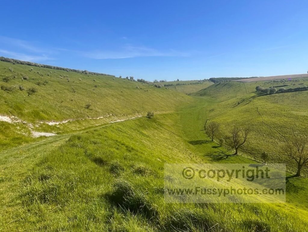
Another long, sweeping dry valley, Thixen Dale runs south to north before looping west, making it visible from the route described in highlight no. 4. I’ve returned multiple times, exploring loops off the dale. Approaching from Fridaythorpe, to the east, the ground suddenly drops away, revealing the valley snaking beneath you. Several other dry valleys merge here, making it the epicentre of countless excellent day walks.
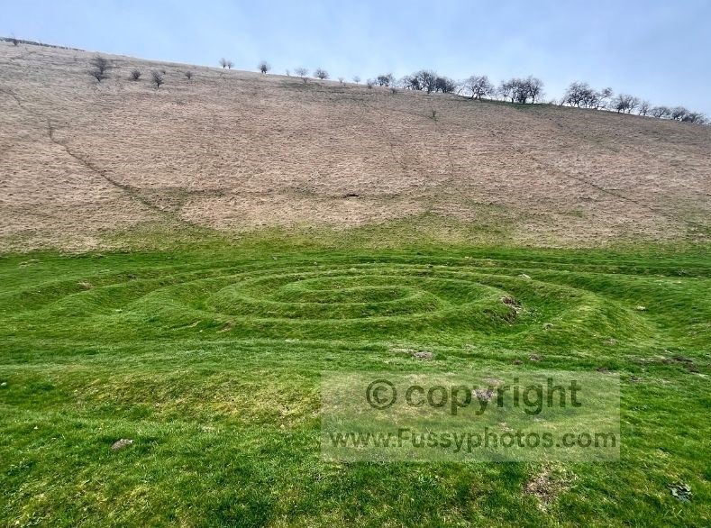
At the bottom, the Waves and Time artwork is easily mistaken for something ancient — as I did at first.
The trail then turns sharply, following a tree‑lined section before the final half‑mile into Thixendale.
If you’d like to explore Thixen Dale and the surrounding dry‑valley network more fully than the Wolds Way allows, my Hidden Valleys Circular walks the entire dale before continuing through Worm Dale, Open Dale, Deep Dale, Brownmoor Dale and Water Dale in an 11.5‑mile loop from Thixendale.
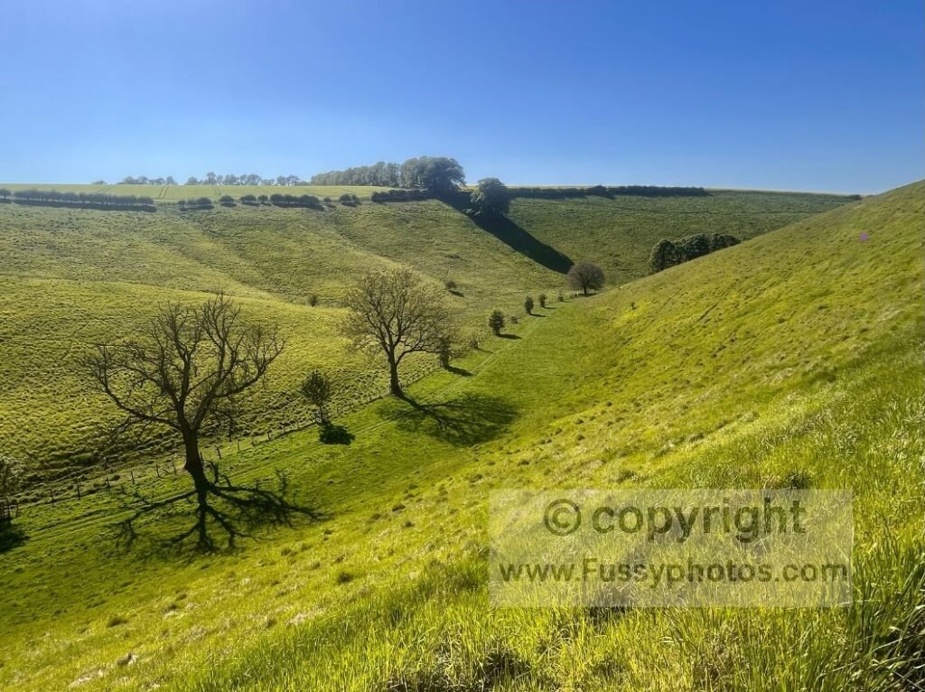
1. Millington – Sylvan Dale – Pasture Dale
It was difficult to separate the top two, but this trio of superb dry valleys takes the top spot. My first sight of them came 14.5 miles into a long day from North Newbald, and even with tired legs the scenery was unforgettable.
After a long ascent on a farm track, the trail turns left and continues climbing. Initially the views are limited to the surrounding fields, but the ground soon drops away with Millington in the valley below. A bench offers a perfect viewpoint.
If you’d like to revisit the ridge and bench above Millington on a shorter loop, my Millington Circular Walk follows this exact viewpoint before exploring quieter paths through woodland, farmland and the surrounding dry‑valley network.
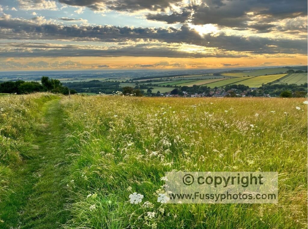
The trail then follows the contour lines northeast before reaching Sylvan Dale, smaller but equally beautiful. A steep climb out of the dale regains the lost elevation — one of the tougher ascents on the trail.
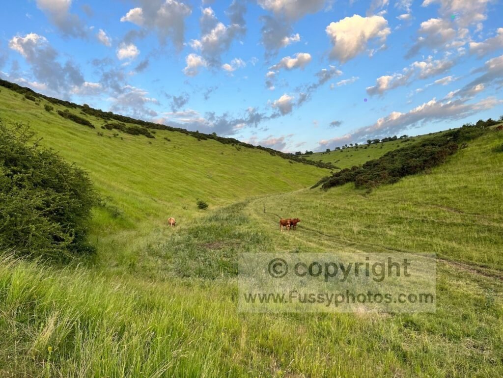
From the top, there are bird’s‑eye views north down Scoar Dale and Frendal Dale (featured in my Huggate circular walk), before the trail curves east through tiny Nettle Dale and around Pasture Dale.
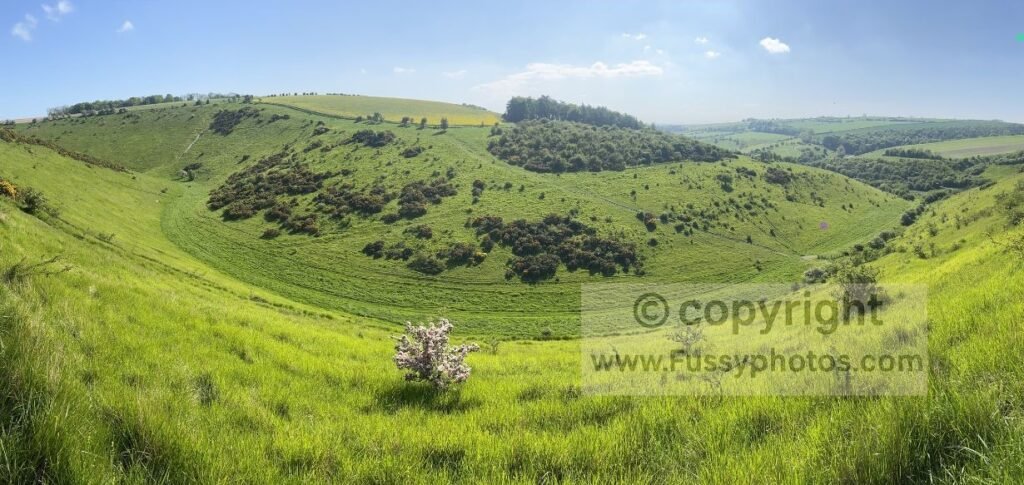
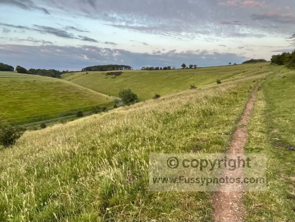
Six dry valleys in just 2.5 miles — an extraordinary stretch.
Explore More Yorkshire Wolds Way Guides
Find more guides, maps and route notes for the full length of the Yorkshire Wolds Way, including stage planning and linked circular walks.