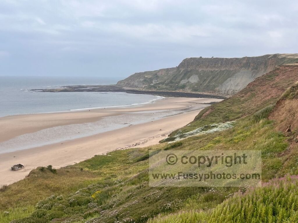
A linear coastal walk along some of the finest scenery on the Cleveland Way — high cliffs, wave‑cut platforms, wide sandy bays, Scarborough’s North Bay and South Bay, and the final approach to Filey Brigg.
Key Facts
- Distance: 16.5 miles
- Breakdown: 1 mile to the Cleveland Way → 4 miles to Scarborough → 10.5 miles to Filey
- Public Transport:
- Train: Scarborough and Filey
- Bus: X93 northbound via Cloughton, Robin Hood’s Bay, Whitby and Guisborough — all on the Cleveland Way
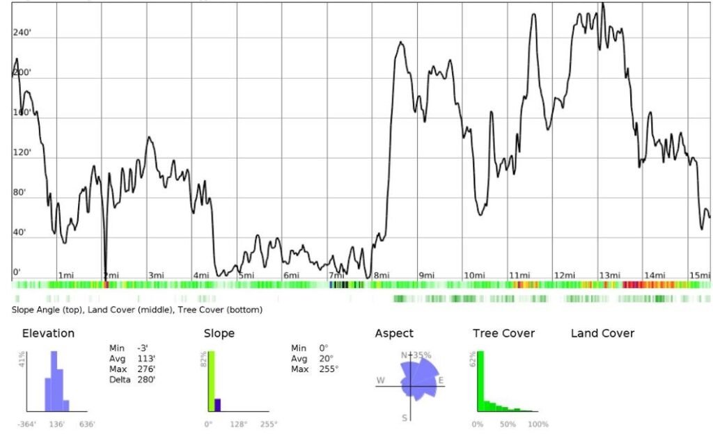
- Elevation: 600m ascent, 640m descent
- Terrain: High cliffs, wave‑cut platforms, sandy bays, promenades, cliff‑top farmland
- Difficulty: Moderate — long but straightforward coastal walking
- Best For: Linear coastal day walks, completing the Cleveland Way in sections, photography, varied scenery
- Navigation: Easy — follow the coast; signage intermittent around Scarborough
- Amenities: Scarborough North Bay, Scarborough South Bay, Cayton Bay (toilets), Filey
- Start: Cloughton
- Finish: Filey Brigg → Filey town
A Coastal Finale to the Cleveland Way
Why This Section Works Perfectly as a Point‑to‑Point Walk
The final two days of the Cleveland Way offer superb coastal scenery: high cliffs, wide sandy beaches, Scarborough’s North Bay and South Bay, and the long sweep of Cayton Bay. Having already walked the first 40 miles of the National Trail, I wanted a day’s coastal walking while slowly completing the route — albeit in an unconventional order. With excellent public transport along this stretch, a point‑to‑point walk is far easier than an out‑and‑back or circular option. The linear nature of the coastline is the clear draw.
Getting to the Trail: Trains, Buses and Easy Logistics
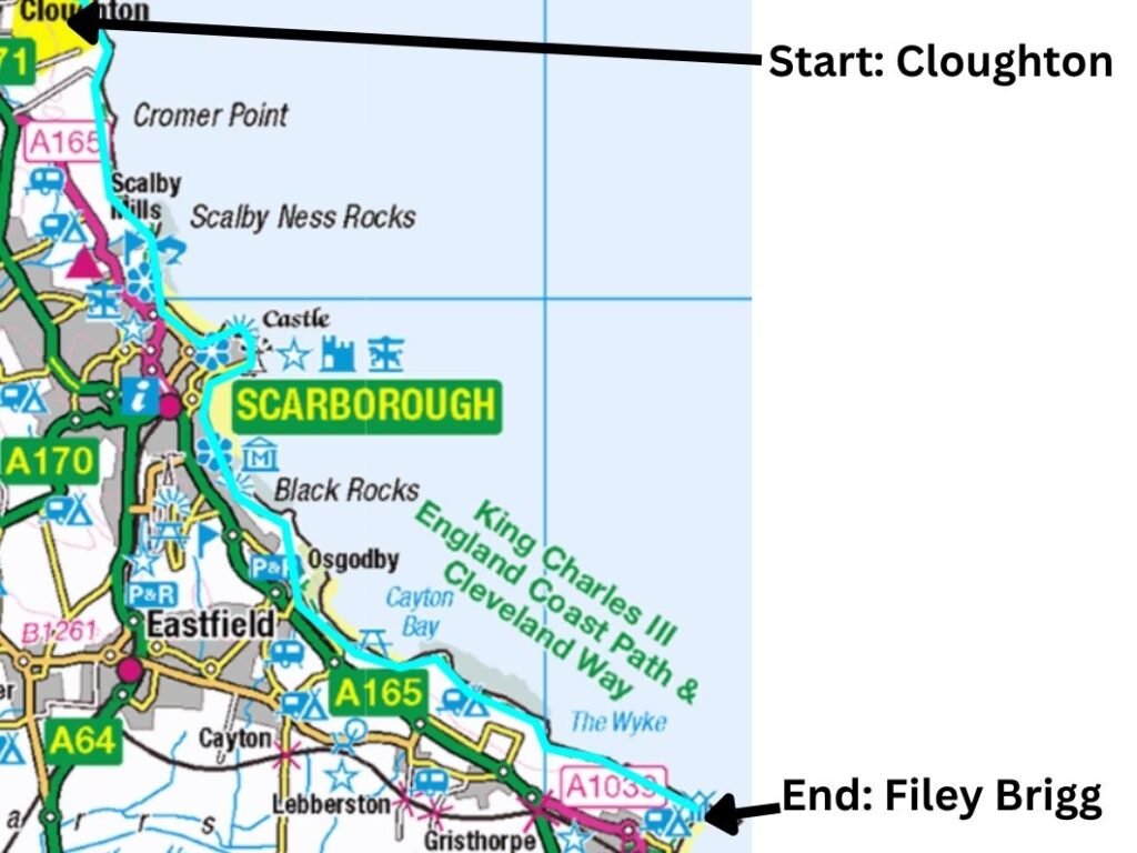
Reaching Filey, I took the train to Scarborough. The official final stage of the Cleveland Way runs Scarborough → Filey (10.5 miles), but I wanted a longer day. I took the X93 bus north to Cloughton, a small village a few miles above Scarborough, and walked a mile east to join the Cleveland Way at Cloughton Wyke. This left me with four miles of National Trail to Scarborough, followed by the full final stage to Filey. Completing long‑distance trails in short sections always means more travel to and from the route, but the lighter daypack makes the walking comfortable.
OS Map Extract (Route Overview)
Elevation Profile
See and Hear the Walk (Video Embed)

Cloughton to Scarborough (4 miles)
A single‑lane farm track leads east from Cloughton for an uneventful mile until the coast suddenly appears and the Cleveland Way is reached at Cloughton Wyke.
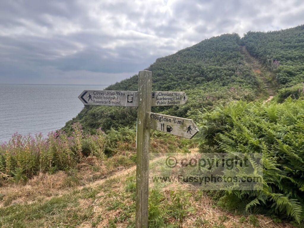
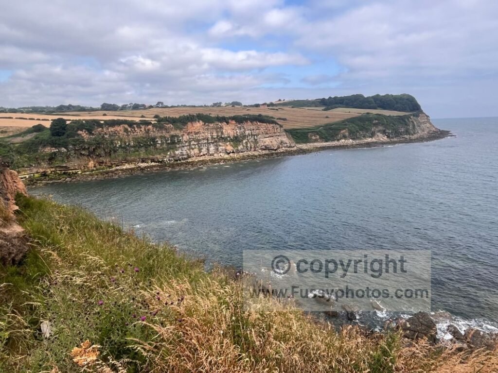
The path immediately undulates, bracken lining both sides, with the welcome sound of the sea below. One of the smaller cliffs of the day rises ahead, its wave‑cut platform exposed at low tide.
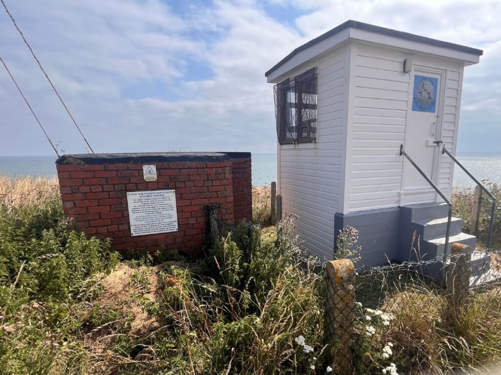
Coastguard Station & WWII Mine Lookout at Long Nab
The trail stays close enough to the edge for constant views, but never so close that it feels unsafe. Heading parallel to Hundale Point, the path curves with the coastline before a serene stretch towards Long Nab. Here you’ll find a coastguard shelter and a former mine lookout with an interesting display board explaining its WWII role in spotting mines and torpedoes.
A short side path behind the station leads onto the Nab itself, offering excellent views north and south.
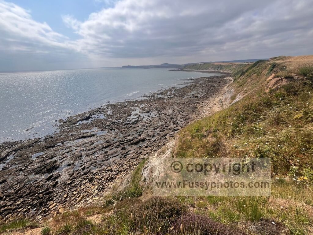
The coastline curves visibly for at least a mile in both directions. From here, a pleasant grassy trail continues between arable farmland and the cliff edge, passing more benches per mile than I’ve seen on any other National Trail.
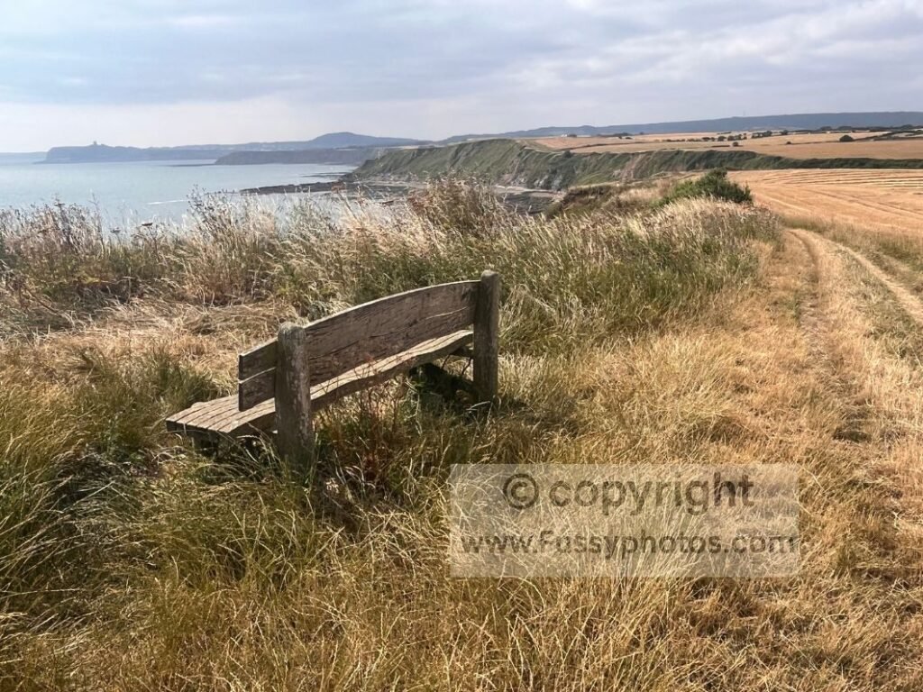
First Views of Scarborough Castle
Scarborough Castle appears on the skyline at least two miles before North Bay, beyond alternating coves, inlets and small headlands. The beaches at Scalby Ness Sands and the wave‑cut platforms beneath Cromer Point and Scalby Ness Point remain visible throughout, adding constant interest. The contrast at high tide must be stark — surely less visually varied.
Scalby Ness Point: A Particularly Enjoyable Stretch
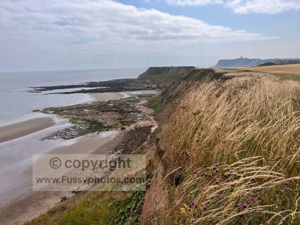
Scalby Ness Point is particularly enjoyable. A short trail protrudes eastwards, giving clear sightlines back to Cromer Point and Long Nab, and forward to Castle Cliff and Scarborough Castle. Soon after, the trail descends over a footbridge into North Bay, where the character changes completely.
Scarborough North Bay
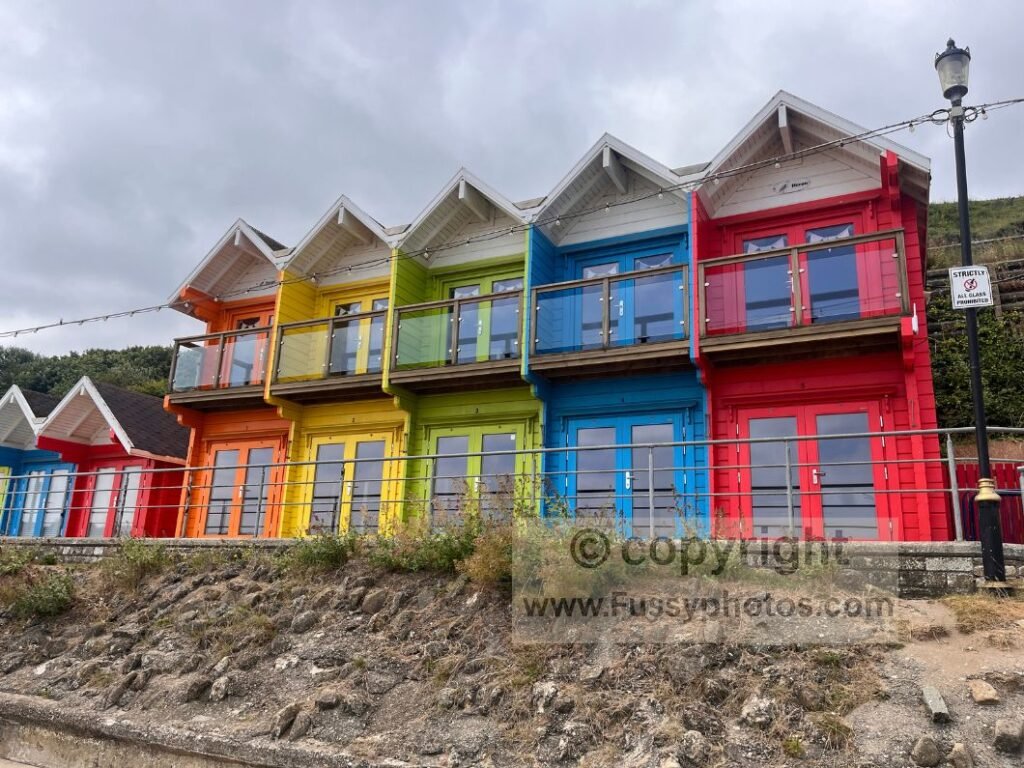
Trail signs disappear, but navigation is simple: stay close to the beach. Pubs, the Sea Life Centre and sea walls dominate the view, yet it remains an interesting stretch. The beach is wide and scenic, and the colourful chalets add charm. Open‑top buses pass regularly, but on foot is undoubtedly the best way to soak up the atmosphere.
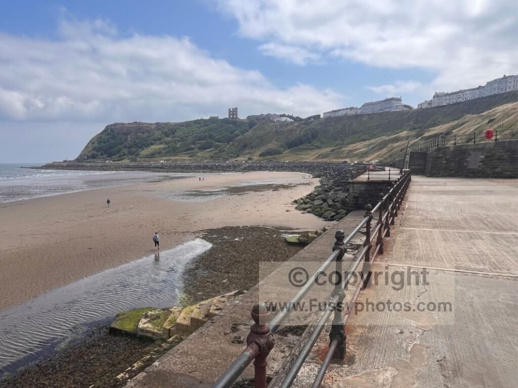
Closer to the headland, the cliffs rise steeply, topped with hotels — plenty of accommodation options for through‑walkers. The Cleveland Way follows the sea wall and rock armour around Castle Cliff. The scenery is enjoyable, but the highlight is the engraved granite storyboards of the Sea Wall Heritage Trail (“Portholes in Time”). There are 31 in total, spaced along the mile‑long Marine Drive beneath the castle.
Scarborough South Bay
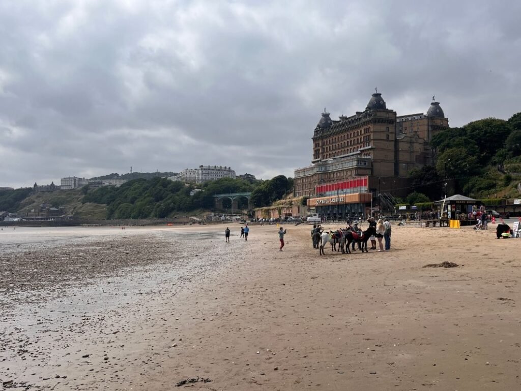
South Bay feels louder, busier and more commercial. Boat trips, fairground rides, amusement arcades, cafés and pubs line the promenade. With the tide low, I walked wider onto the beach, past donkey rides and The Grand Hotel. The road quietens again beyond the main arcades, despite the continuation of the wide beach as far as Scarborough Spa.
Continuing south, the path rises and the first trail sign in over three miles appears, confirming I was still on the Cleveland Way — eight miles to Filey. In reality, if in doubt, simply head south along the beachfront, past Star Disk — a 26‑metre illuminated astronomical map showing the brightest circumpolar stars above Scarborough — and climb the hill when the final path rises before White Nab.
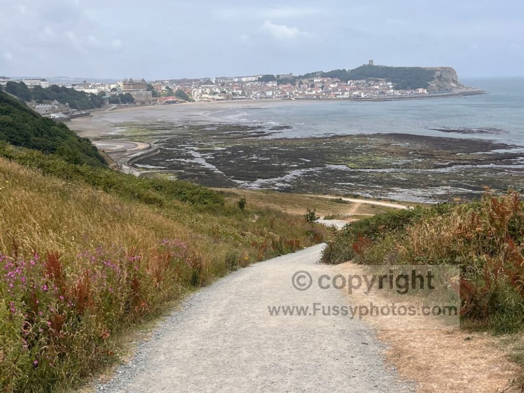
Scarborough to Cayton Bay
A gravel road climbs steeply, offering excellent views back to the castle, South Bay and the town. At around 60m above sea level, the gradient eases. A short section of road walking skirts the edge of Osgodby, and although the views briefly disappear behind trees, they soon return as the trail descends towards Cayton Sands.
The path traverses the cliff edge above the wide sandy bay. You can descend to the beach and The Salty Dog snack stand if you wish. A sign advertises toilets — the only amenities between Scarborough South Bay and Filey. It’s an exposed but beautiful stretch, with Lebberston Cliff rising to 95m above the bay.
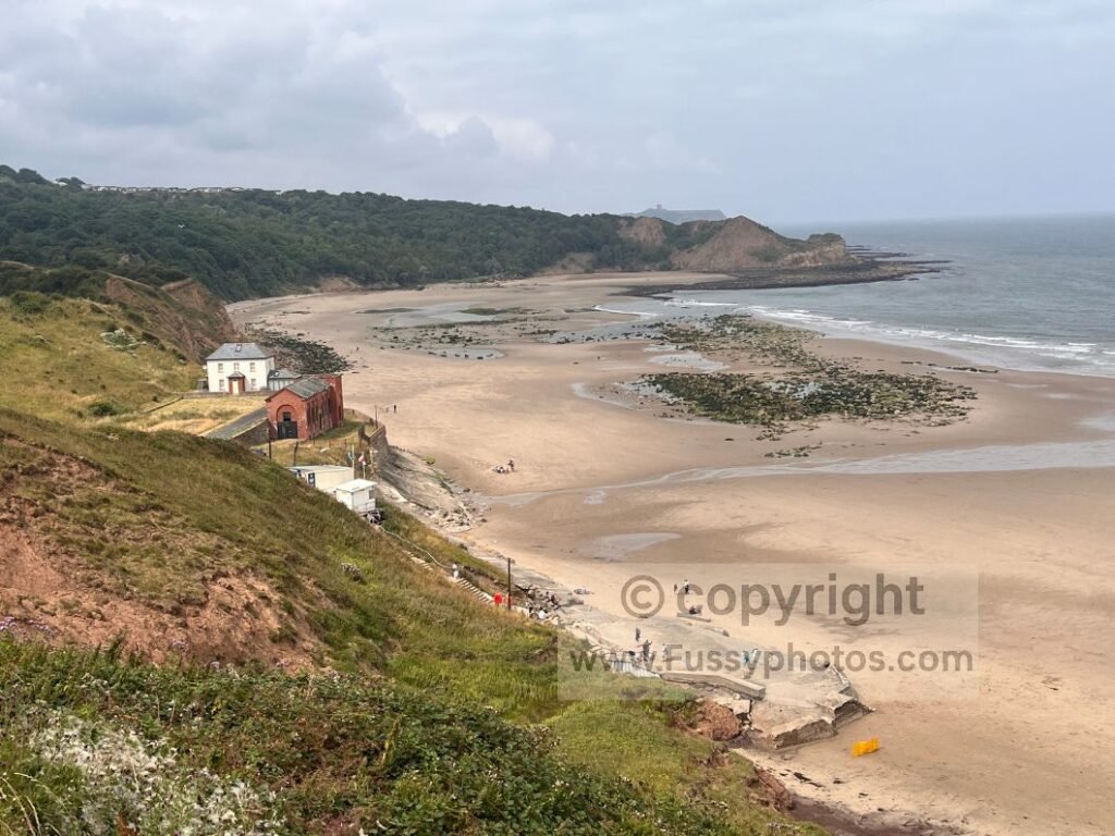
Cayton Bay to Filey Brigg
The trail continues along the cliff edge past a small headland, offering excellent views from this high point. Castle Cliff and Scarborough reappear, now 3.5 miles to the north.
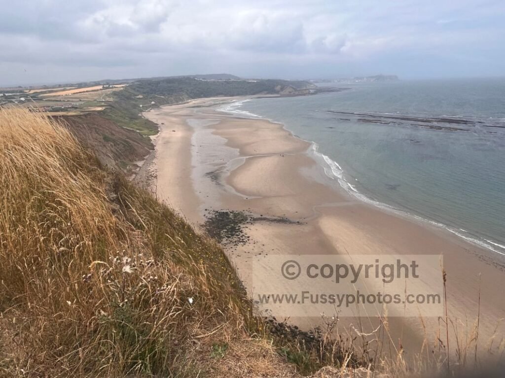
The wave‑cut platform at Castle Rocks stretches far below, followed by Gristhorpe Sands beneath the large Gristhorpe Cliff, where a holiday park sits close to the northern edge.
Cliff signs warn of “Sheer Cliffs”, but the obvious trail never feels threatening and there are no vertigo‑inducing drops. Views become more intermittent but still appear at Newbiggin and North Cliffs.
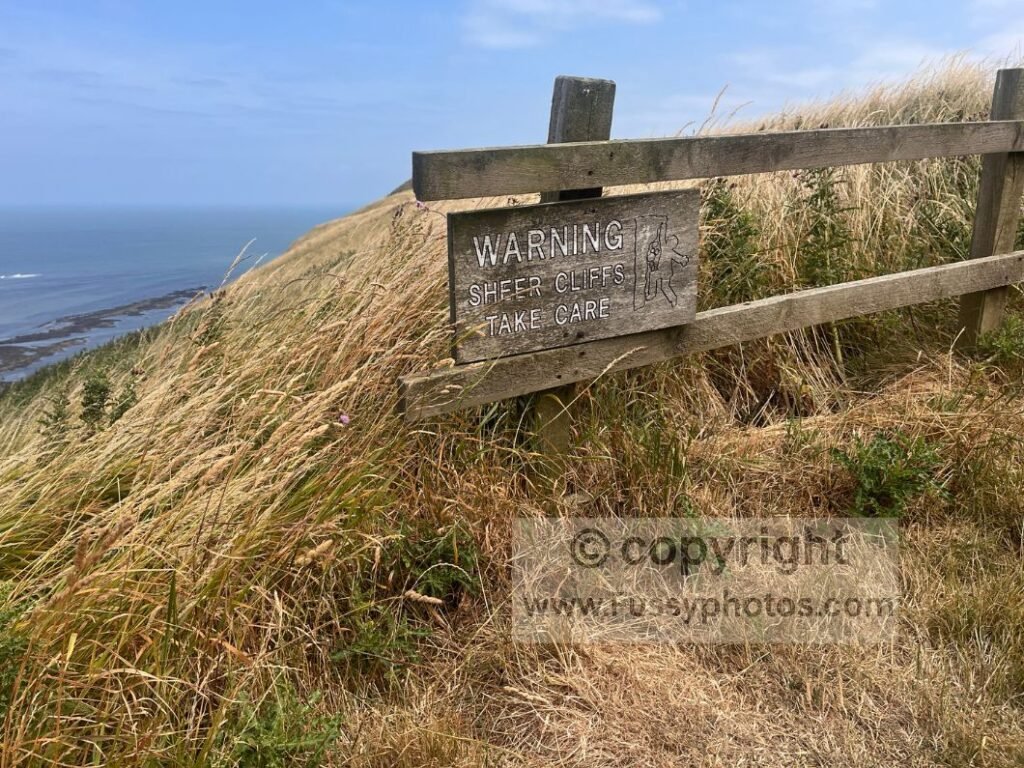
End of the Cleveland Way & Yorkshire Wolds Way
A quiet mile brings Filey Brigg into view — the end of both the Cleveland Way and the Yorkshire Wolds Way. Trail signs point to Helmsley (109 miles) and Hessle (79 miles), but otherwise there’s little to mark the end.
Carr Naze – A Worthy Detour
It’s worth continuing a third of a mile further onto Filey Brigg itself, where the headland narrows dramatically and cliffs drop on both sides. The trail ends at Carr Naze, an impressive viewpoint with Filey Brigg, Brigg End and Spittal Rocks visible at low tide.
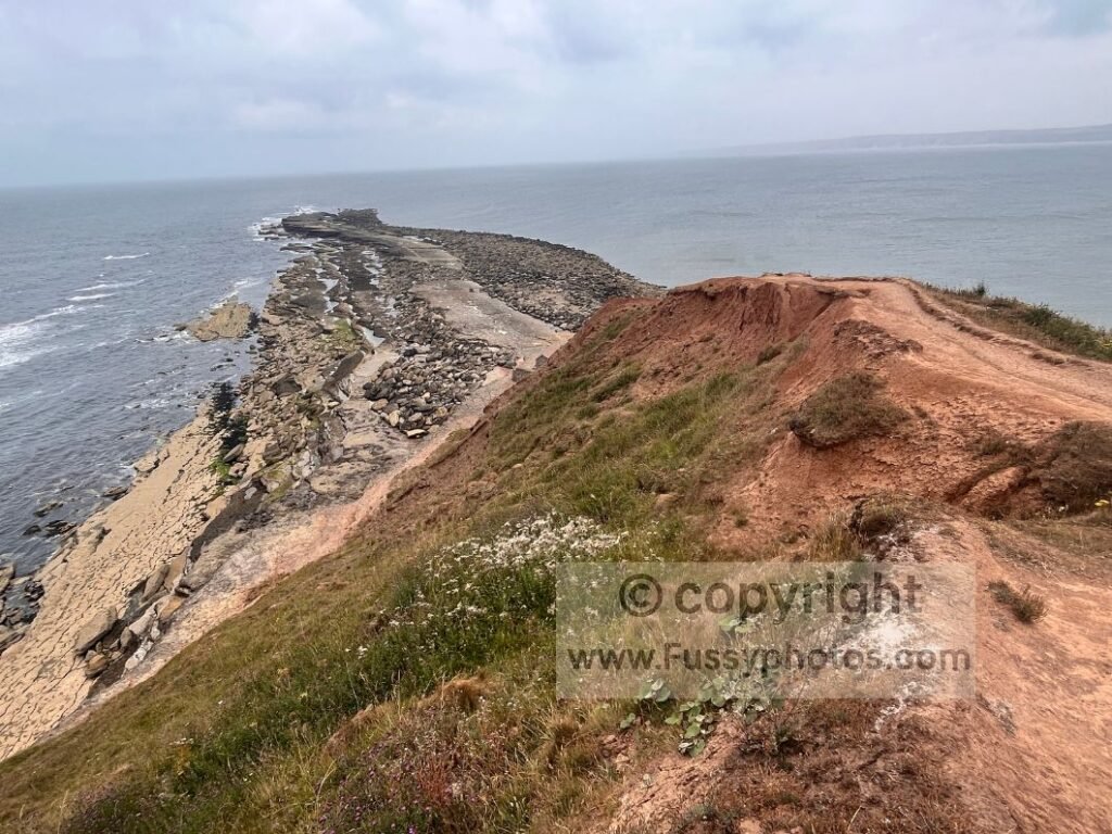
From there, it’s half a mile south to Filey town and a little further if you’re continuing to the bus or train station.
Although this Cloughton → Scarborough → Filey section comes later when walking the Cleveland Way clockwise, I actually completed the Whitby → Staithes → Runswick Bay → Loftus stretch afterwards. You can read that earlier coastal stage here: Cleveland Way Coastal Walk: Whitby, Staithes and Runswick Bay
Continue Your Journey: Wolds Way & Flamborough Head
If you’re lucky enough to continue your walk via the Wolds Way or towards Flamborough Head, my guides will help you plan your journey.