
The first half of the Cleveland Way is not the easiest section of a National Trail to break into short, manageable stages. At 109 miles, it’s not the longest trail, nor the hardest, but the opening half of the walk from Helmsley to Saltburn‑by‑the‑Sea is surprisingly inaccessible. Once you’re on the trail, it’s arguably best to stay on it for the first 21 miles to Osmotherley, and then the next 36 miles to Saltburn‑by‑the‑Sea.
But long‑distance walking is rarely a perfect world. This is one National Trail I’ve chosen to complete in multiple short chunks — partly because I wanted to walk as much of it as possible with my partner, fitting sections around short holidays and weekends.
Walking the Cleveland Way Out of Order
I’d covered the first 37 miles as scattered point‑to‑point and circular walks, so my early progress along the Cleveland Way was slow. Walking the Coast to Coast meant retracing about 16 of those miles, creating a sense of repetition — enough to make me crave a change of scenery in the short term, preferably some coastal walking rather than another stretch of familiar inland terrain.
To complicate things further, I then walked the final day of the Cleveland Way — Scarborough to Filey — as a standalone day walk. That left a notably large gap: the stretch from Bloworth Crossing, a remote junction linking the Coast to Coast and the old Rosedale Railway, all the way to Scarborough.
The Bloworth Crossing Problem
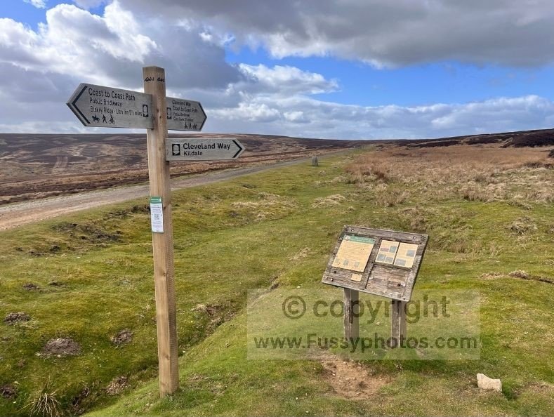
With a free weekend, the straightforward option would have been to go back to the furthest point we’d reached on the Cleveland Way (Scarborough to Filey aside) — Bloworth Crossing — and carry on with a point‑to‑point walk from Bloworth Crossing to Saltburn‑by‑the‑Sea.
But Bloworth Crossing is not easy to reach. It sits at 388m on the Cleveland Hills, miles from the nearest bus stop in Great Broughton. Keen for some coastal walking, ending at Saltburn‑by‑the‑Sea would have denied us a good‑weather weekend along the coast.
Plan B: Whitby to Scarborough
Plan B was to start at Whitby and finish at Scarborough, leaving one continuous stretch of walking in the middle of those 109 miles — Bloworth Crossing to Whitby. But organising logistics just a week before we were due to walk proved difficult. Accommodation at Robin Hood’s Bay, the logical overnight stop between Whitby and Scarborough, was completely sold out.
We wanted to walk without camping gear and heavy backpacks for a change, so after studying maps and scouring the internet for affordable accommodation, a new plan emerged.
The Final Plan: Guisborough to Whitby (Reverse Direction)
We decided to drive to Guisborough, catch the X93/X94 bus to Whitby, and then walk those 28 miles back to the car — following the Cleveland Way in the reverse direction to the traditional route.
Our Cleveland Way journey was proving to be anything but conventional.
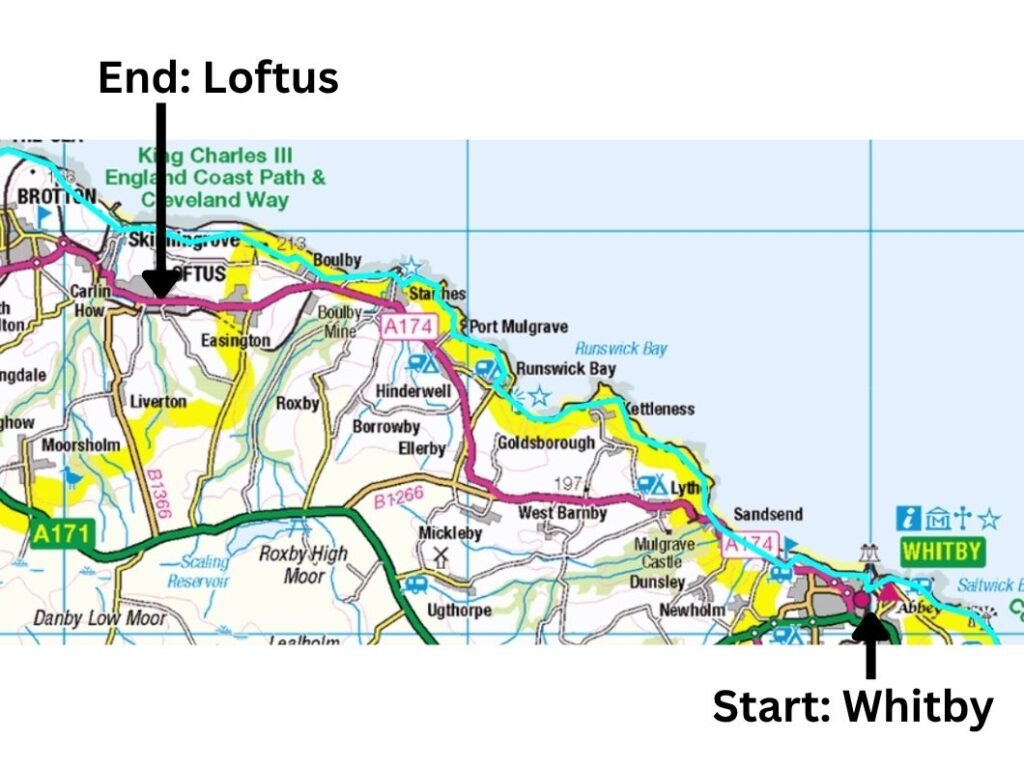
Cleveland Way Coastal Map: Whitby, Staithes and Runswick Bay
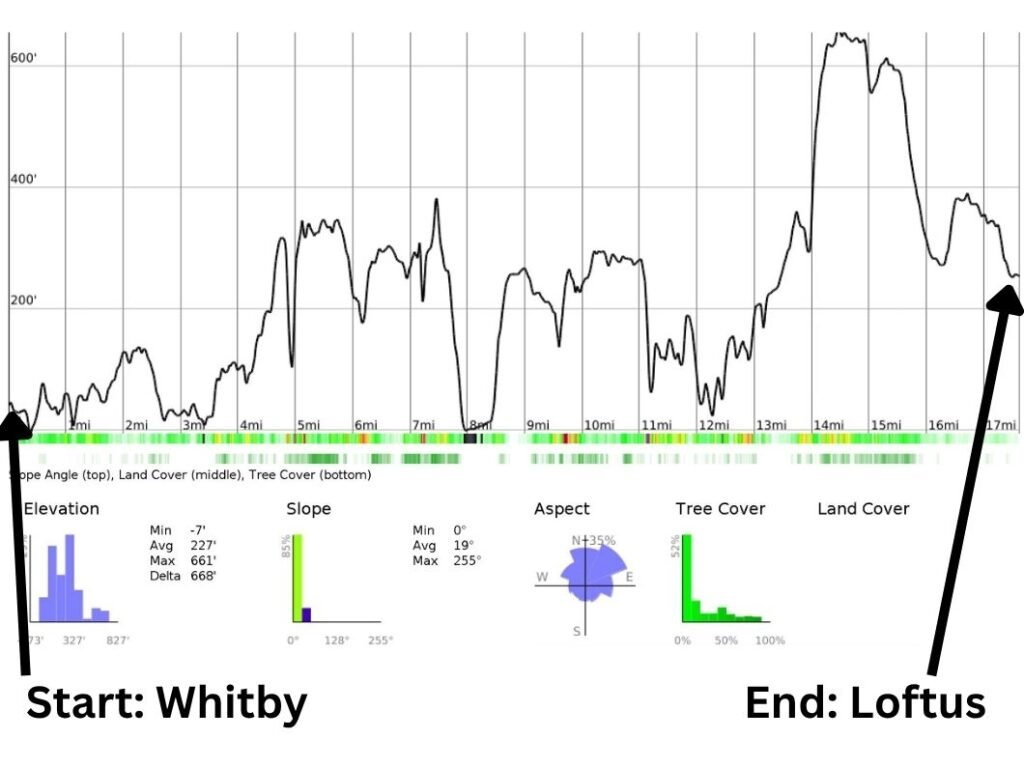
Elevation Profile for the Whitby–Staithes–Runswick Bay Section
Watch North Yorkshire’s Best Coastal Walk — Whitby, Runswick Bay, Staithes and Boulby Cliff

Key Facts: Cleveland Way — Whitby to Runswick Bay, Staithes & Boulby Cliff
- Route — Whitby → Sandsend → Kettleness → Runswick Bay → Staithes → Boulby Cliff → Loftus
- Distance — 17.5 miles (28 km)
- Elevation — ~1,000m ascent over a highly undulating coastal section
- Difficulty — Hard; steep climbs, cliff‑edge paths, long mileage
- Start — Whitby Bandstand / Whitby Bay Bus Station
- End — Loftus (1.5 miles inland from the Cleveland Way)
- Key Waypoints — Whitby Harbour, North Terrace, Sandsend, Kettleness, Deep Grove Alum Quarry, Ovalgate Cliff, Hill Stones, Runswick Sands, Staithes, Boulby Cliff
- Highest Point — Boulby Cliff (203m) — highest cliff on England’s east coast
- Terrain — Cliff‑top paths, steep steps, beaches, farmland, alum‑quarry heritage
- Food & Facilities — Whitby, Sandsend, Runswick Bay, Staithes (multiple pubs, cafés, shops)
- Public Transport — X93/X94 buses to Whitby; limited transport near Loftus
- Best Season — Late spring to early autumn; coastal sections vary dramatically in wind or rain
- Why Walk It — Some of North Yorkshire’s best coastal scenery, including Runswick Bay, Staithes and Boulby Cliff
Public Transport to Whitby
After enduring the constant shouting and swearing of a group of teenagers on the bus to Whitby, we couldn’t wait to get started. Stepping off the bus on a busy weekend, the town was bustling. The market was in full swing, and although we resisted the street food, my partner was already eyeing up fish and chips.
Crossing Whitby and Joining the Cleveland Way
Whitby Bay Bus Station is only a stone’s throw from the Cleveland Way. The trail crosses Whitby west to east via Whitby Bridge, but first we had to fight for pavement space among the crowds. We followed the Cleveland Way north along the River Esk towards Whitby Bandstand, weaving between tourists and trying not to lose momentum before we’d even begun.
Fish and chips in hand, I closed my food box to film the scene, placing it briefly on the bench beside me — fully aware of the circling gulls overhead.
The Stealing Seagulls of Whitby
A gust of wind blew the lid open, exposing my food for no more than four seconds. That was long enough for a large gull to launch an attack run. I shoved my phone into my pocket, lunged for the box, and managed to scare it off — food miraculously intact.
Walking back to my partner, she warned me to “watch out for the gulls,” blissfully unaware of the incident I’d just survived. She added that they’d just taken food straight out of her box while she was holding it. A helpful warning — delivered, as always, after the danger had already passed.
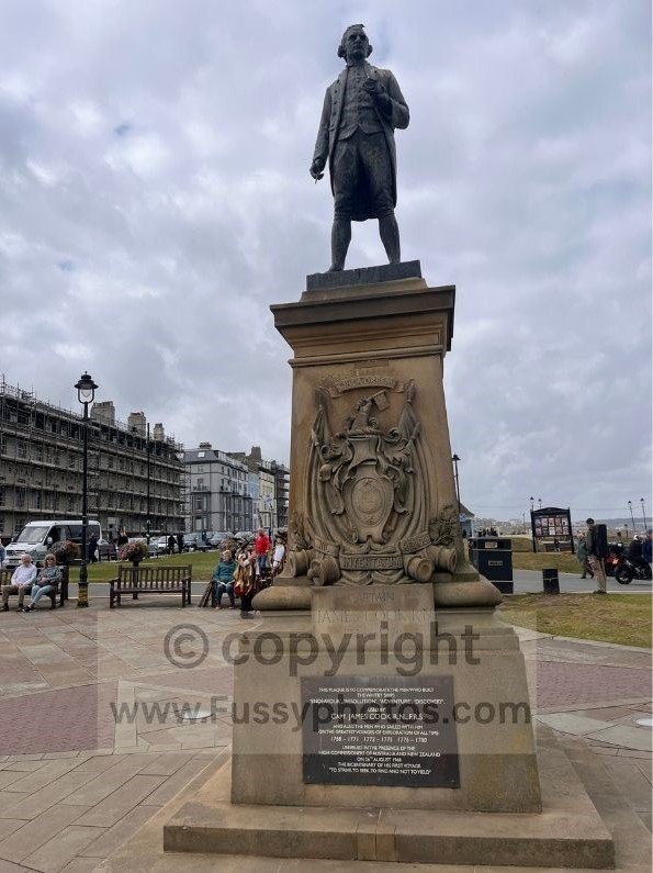
Captain Cook Memorial
Looking for a quieter spot, we climbed the steps west and walked no further than the Captain Cook Memorial. We found a bench among the many overlooking the harbour and finished our food in relative peace.
Finishing with perfect timing, I filmed the Black Pearl Boat as it made its way towards the Harbour East Lighthouse, Whitby Abbey in shot above, before the boat turned back to port.
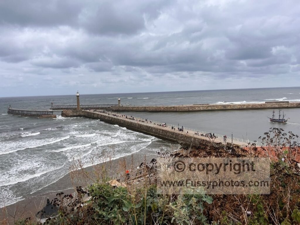
Leaving Whitby via North Terrace
From the memorial, we escaped the claustrophobic crowds within seconds, following the Cleveland Way along the pavement of North Terrace past a line of benches, hotels and the elegant sweep of Royal Crescent to our left. To our right, the cliff dropped sharply to the Whitby seafront — its wide sandy beach mostly hidden beneath the relatively high tide, with colourful beach huts adding a bright splash of colour against the grey water.
The trail dipped briefly towards the beach without ever reaching it, before pivoting north past Whitby Golf Club and continuing along Sandsend Road all the way to Sandsend village.
Benches, Sandsend and a First Rest
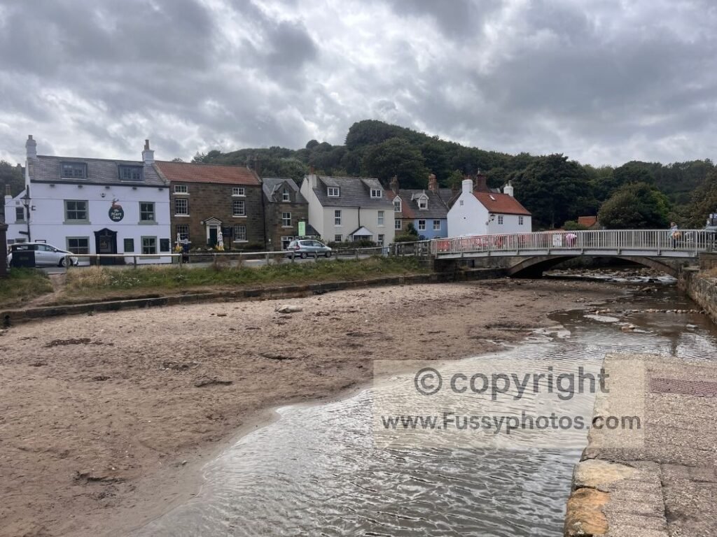
Having walked national trails where you’re lucky to see a bench once a day, we were determined to sit at every opportunity in case they vanished for the rest of the afternoon. Looping through Sandsend, we passed cafés, a pub and a hotel before settling on an early rest overlooking the beach and East Row Beck — a peaceful pause before the terrain changed again.
Climbing Towards Kettleness and the Old Alum Quarry
From here, the trail signs briefly disappeared, and after a short climb uphill the wrong way, we descended back to Sandsend Car Park where we picked up the Cleveland Way again. It followed steps along the cliff, heading north towards Kettleness.
Here the landscape shifted. Intermittent patches of purple heather dissected the trail and the cliff edge at Sandsend Ness, adding colour to the rugged coastline. We passed Deep Grove Alum Quarry and its processing areas, active from around 1720 until 1860.
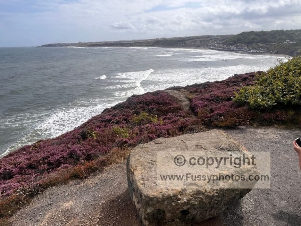
Continuing north, the trail climbed steep steps beside a disused tunnel, rising to around 100 metres above the sea. The water disappeared briefly as we crossed farmland, before the cliff edge returned with views from Ovalgate Cliff, only to be obscured again by thick vegetation.
Towards Runswick Bay and Superb Coastal Scenery
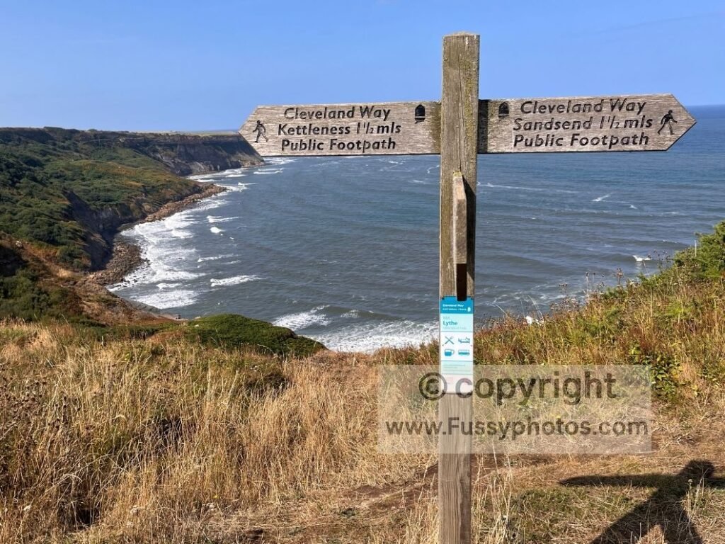
The trail dropped at Kettle Ness, then turned west, revealing a line of inlets and Runswick Bay a mile ahead. The path undulated until we reached the high ground above Hill Stones, where the views of the bay were superb — some of the finest coastal scenery in North Yorkshire, stretching for the next mile or so.
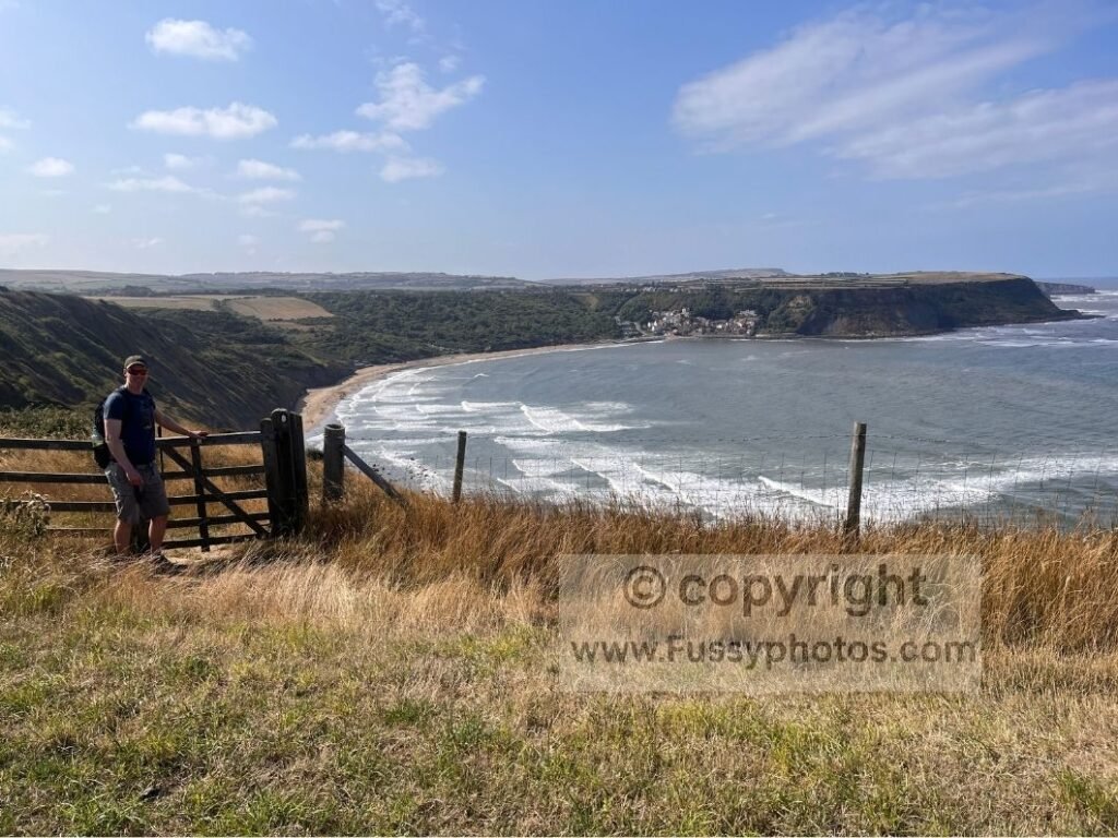
Steep steps then took us down into a narrow valley. At the bottom, walkers need to take care: the trail follows a stream along a tight section before emerging onto Runswick Sands, a gorgeous beach framed by the same 100‑metre cliffs we had just descended.
Walking Runswick Sands and Entering the Village
I never imagined that a national trail would place you directly on the beach, but it was a fantastic, nostalgic stretch — walking along the sand, passing families enjoying the sun, and being reminded of everything good about coastal Britain.
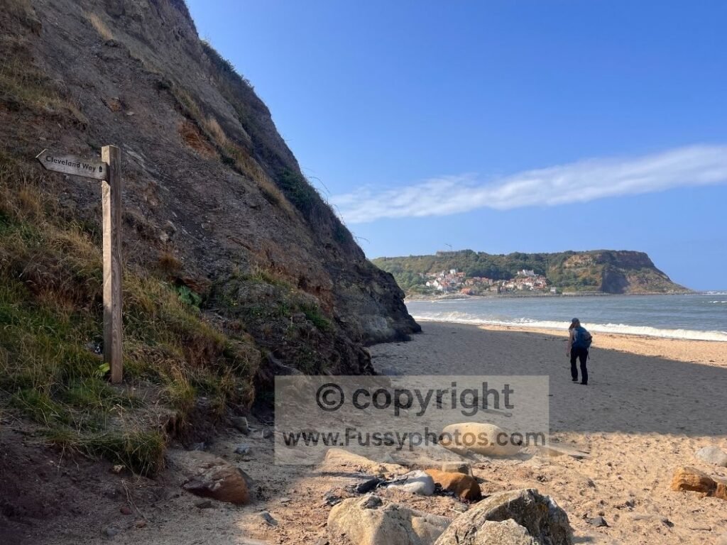
The beach walking ended too soon. The trail followed a road into the village, climbing a steep hill. We resisted the café, but a beer and an ice cream at the Runswick Bay Hotel proved impossible to ignore.
Accommodation Along the Cleveland Way
Half an hour later we continued west, passing Runswick Bay Caravan & Camping Park, a handy stop for anyone camping on the Cleveland Way. Walking with just day bags, our plan was to complete a relatively long 17.5‑mile stretch as far as Loftus, a village a mile and a half inland and just shy of Saltburn‑by‑the‑Sea, where I’d found accommodation that — unlike many of its local competitors — didn’t cost the equivalent of a week’s half‑board in Spain.
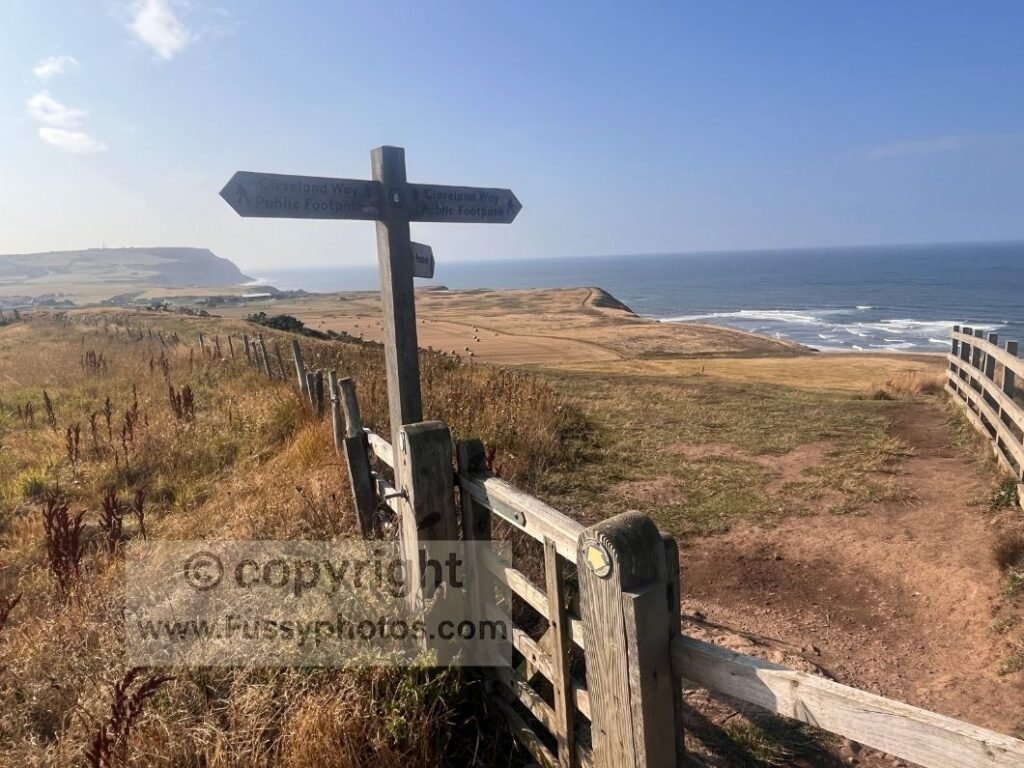
Approaching Staithes — One of the Cleveland Way’s Finest Views
More excellent scenery followed: a small inlet below Rosedale Cliffs, another bench, and then yet another seat just short of Staithes, all offering postcard‑worthy views.
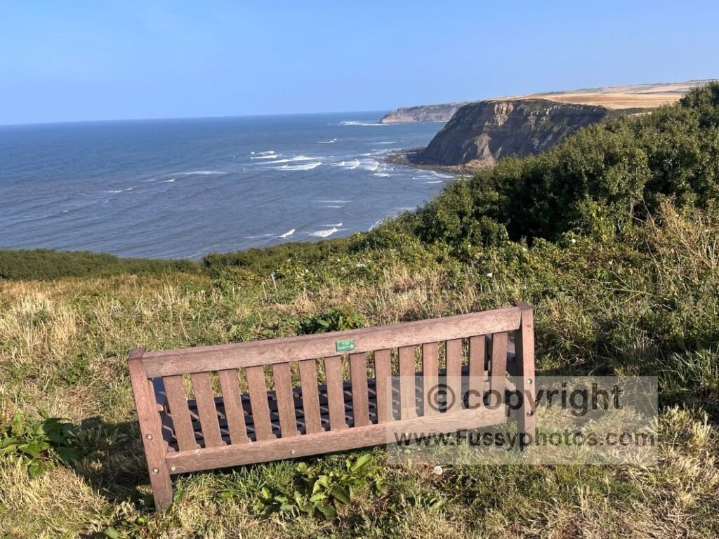
Surrounded by small bays and headlands, the scenery didn’t relent as we made our way to Old Nab — as the name suggests, another compact headland with superb views on either side.
Soon our fourth picturesque village lay ahead: Staithes, beautifully framed between two small headlands and harbour walls. It was the most picturesque settlement on the Cleveland Way so far — a narrow bay enclosed by 60‑metre cliffs, with perfectly white houses clustered around the water below.
Food Stops in Staithes
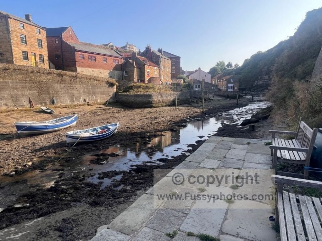
If we hadn’t already stopped twice, I’d have gladly paused at the Cod & Lobster Pub, the trail passing within touching distance of its front door. Instead, we followed the cobbled street past more tempting food and drink stops, crossed Staithes Beck Bridge, and enjoyed a packed sandwich on yet another bench.
Climbing Towards Boulby Cliff — The Highest on England’s East Coast
Around 13 miles into our day, fatigue began to set in. I’d expected plenty of up‑and‑down, but the cumulative elevation was starting to take its toll.
To the west rose Boulby Cliff (203m), the highest cliff on the east coast of England. It was definitely a long climb, but despite the sea air it felt more like ascending a hill than a cliff — the drop‑off on the seaward side was relatively gentle compared with much of what we’d passed earlier.
A B&B sat near the top of the hill. I commented that it would have been the perfect place to stop: perched right on the trail, offering a great view back to Staithes. At £300‑plus, it was clearly aimed at hikers who’d already given up on budgeting.
Evening Light Above Boulby Cliff
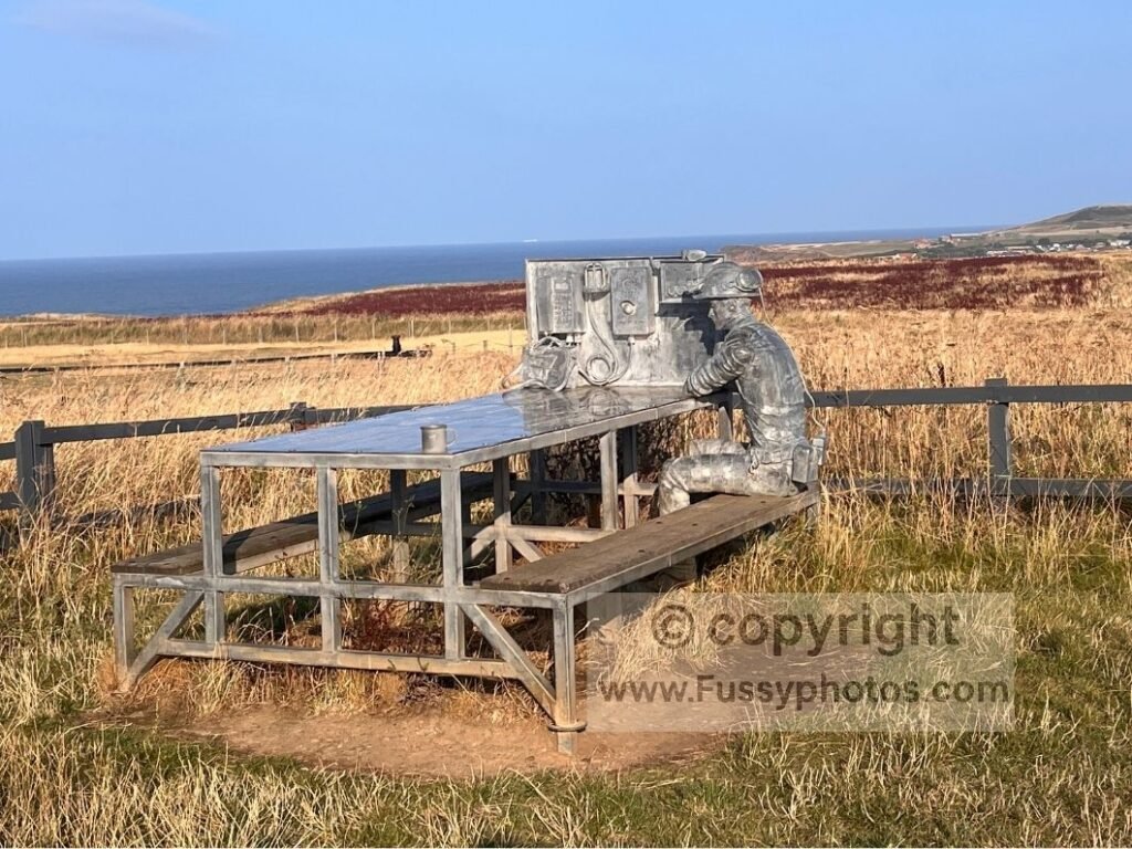
Around this point there are a few features of interest, including another bench — this time ICL Boulby’s 50th Anniversary Bench, celebrating the area’s recent industrial heritage. Beneath the local area lies over 621 miles of mining tunnels, part of the region’s potash and polyhalite operations, some of which run directly under this section of coastline. It’s worth taking a breather here, especially if you’re heading westbound: the next quarter of a mile is steep, rising to the top of Boulby Cliff before easing into a gentler descent on the western side.
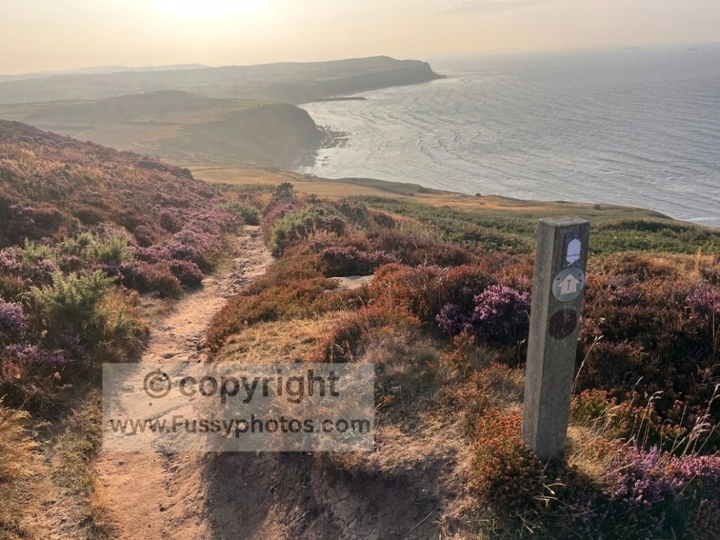
Another mile and a half later we turned inland towards Loftus, genuinely sad to leave the coastal scenery and the soft evening light behind, but equally relieved at the thought of resting our feet — ending a 17.5‑mile day with over 1,000 metres of elevation gain, ready to return tomorrow.
Continue the weekend walk with Day 2 — an easier 11‑mile section from Loftus to Saltburn‑by‑the‑Sea and inland to Guisborough