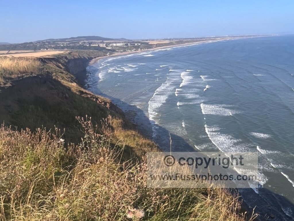
Starting the second day of our Whitby to Guisborough leg on the Cleveland Way, we left our accommodation in Loftus and walk the 1.5 miles back towards the coast. Yesterday’s effort — 17.5 miles and over 1,000m of elevation gain — was the hardest part of the route, and the bus journey to Whitby was the hardest part of the logistics. Today is simpler: return to the coast via Skinningrove, rejoin the Cleveland Way, traverse Cattersby Sands and Hunt Cliff westwards to Saltburn‑by‑the‑Sea, then continue inland to Guisborough to pick up our car. A comparatively easy 11 miles with 495m of ascent. This followed our previous day’s walk from Whitby to Loftus, a tougher coastal stage with big elevation and classic Cleveland Way scenery.
If you missed yesterday’s tougher coastal stage — Whitby to Loftus via Sandsend, Runswick Bay, Staithes and Boulby Cliff — you can read the full trip report here: Whitby to Loftus: Cleveland Way Coastal Walk
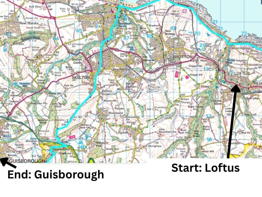
Cleveland Way Coastal Map: Loftus to Saltburn‑by‑the‑Sea, Continuing Inland to Guisborough
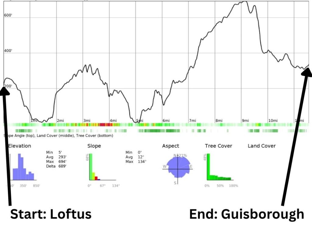
Cleveland Way Elevation Profile: Loftus to Saltburn‑by‑the‑Sea and Guisborough
Video Highlights: Cleveland Way from Skinningrove to Guisborough

Rejoining the Cleveland Way from Loftus via Skinningrove
The 1.5‑mile route back to the Cleveland Way was straightforward enough. The tide was halfway out, revealing yet another wide, attractive beach — a pale sweep of sand framed by sandy cliffs and the steady rumble of the surf. We turned west and followed the route past a small jetty and onto Cattersby Sands.
Initially, we were a little unclear where the route went next. A side trail climbed the cliff, and we began ascending, but after a minute I rechecked the map and realised this was not the correct path. Instead, the Cleveland Way followed the beach again for a few hundred metres before diverting into the sand dunes, along a sandy trail leading to a set of wooden steps.
Climbing Cattersby Cliff for Wide Coastal Views
A little tired from all the up‑and‑down of the previous day, we ascended Cattersby Cliff to around 70m, grateful for an early rest on another of the trail’s well‑placed benches. The noise of the waves was loud and relaxing, and the view was fantastic — another wide, empty beach framed by impressive cliffs.
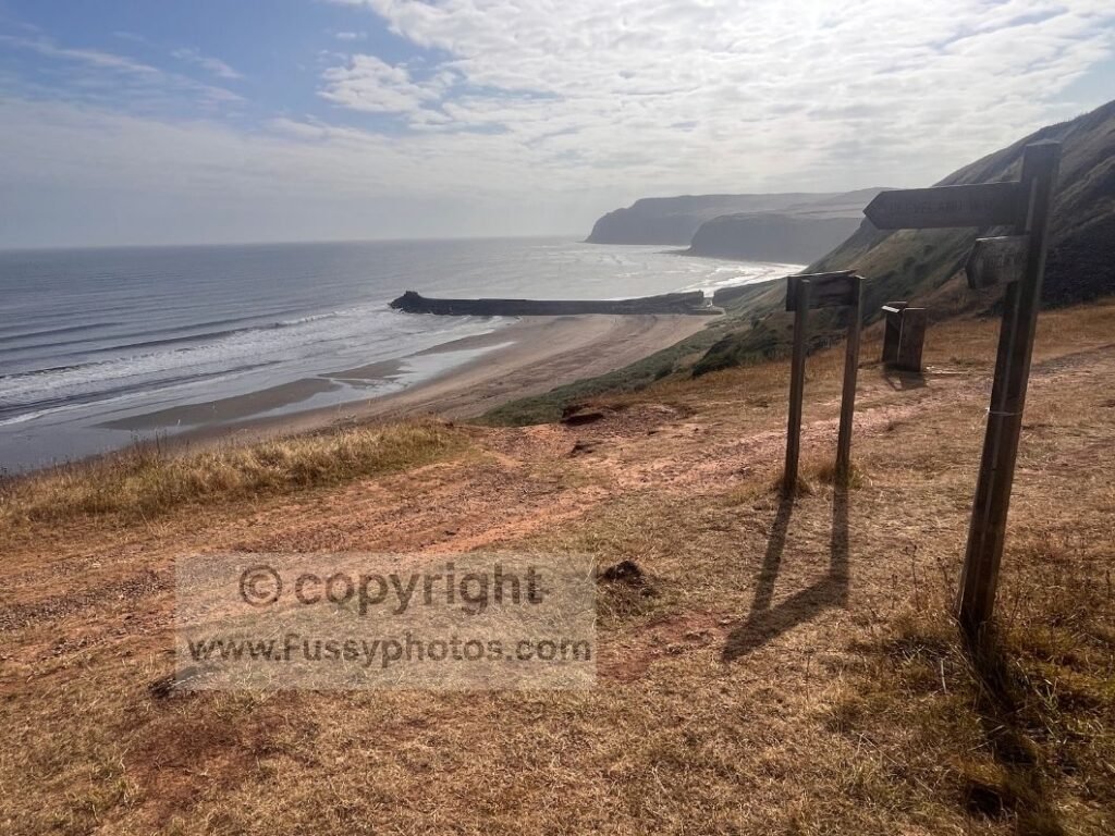
Easy Cleveland Way Progress West, Reaching Skinningrove’s Industrial Charm Bracelet
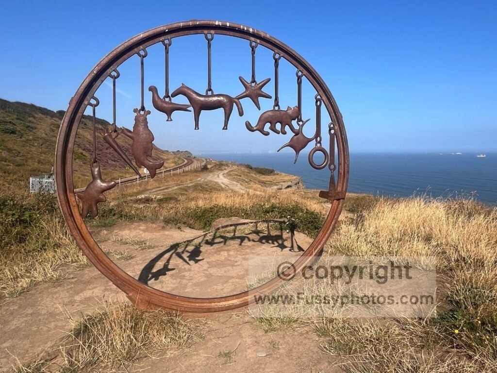
The initial walk west was flat and uneventful: steady sea views and the rhythmic crash of waves against the rock. We promised each other we would rest regularly today and soon found another bench beside an art feature — The Circle, a Charm Bracelet — a circular installation with ten metal objects forged at the local Skinningrove British Steel plant using recycled industrial scraps, including an old mine‑shaft mast and trawler‑hull reinforcement plates.
Cliff‑Edge Walking on Hunt Cliff, Descending Towards Saltburn‑by‑the‑Sea
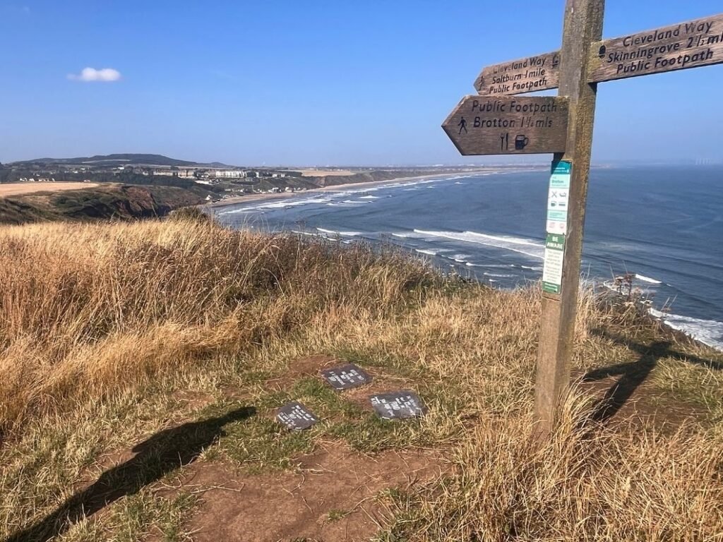
The cliff edge narrowed, with an old train line on one side and a sheer drop on the other. The Cleveland Way followed a tight line along Hunt Cliff before beginning a gentle descent into Saltburn‑by‑the‑Sea. High cliffs offered excellent views over the town and across the North Sea towards Teesside and County Durham, hazy in the distance. Multiple mental‑health support signs suggested a more traumatic aspect to the cliffs too.
Cleveland Way Food Stop in Saltburn‑by‑the‑Sea
The descent was enjoyable, hugging the cliff line before steeper steps led down to Saltburn Sands and various pubs and cafés.
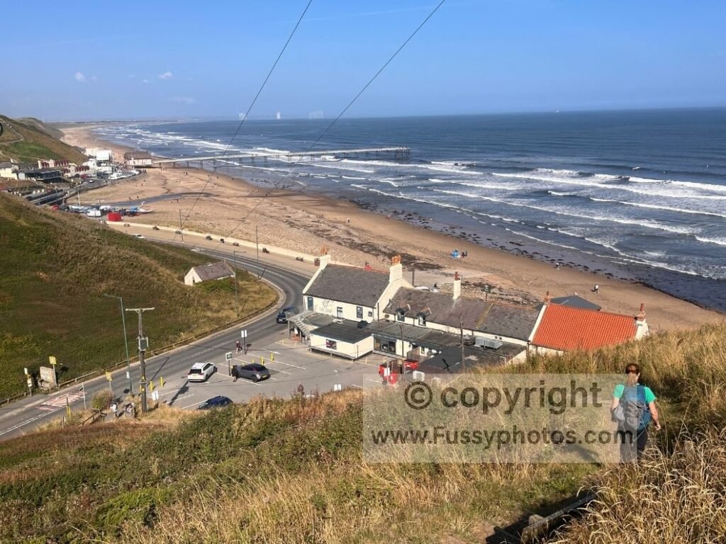
Hungry after a good pace on the trail — and still feeling yesterday’s miles — we tried The Ship Inn, but they were not yet serving food. Not wanting to wait nearly an hour, we continued along the seafront to Tomahawk Steakhouse. Thankfully, they were serving a late breakfast, so we enjoyed a morning meal on their patio overlooking the sea. As recent Google reviews attested, the service was slow (30 minutes until our drinks arrived), but the food was excellent.
Saltburn‑by‑the‑Sea to Skelton Beck and Skelton Village
Refreshed after our meal, the trail immediately ascended steps from the beachfront to the cliff top and Saltburn Road, a pleasant street lined with tall Victorian buildings and intermittent hotels and B&Bs. Signage was a little limited through the town, but the map showed the route clearly enough — it was simply a matter of finding the correct entrance into Saltburn Valley Country Park.
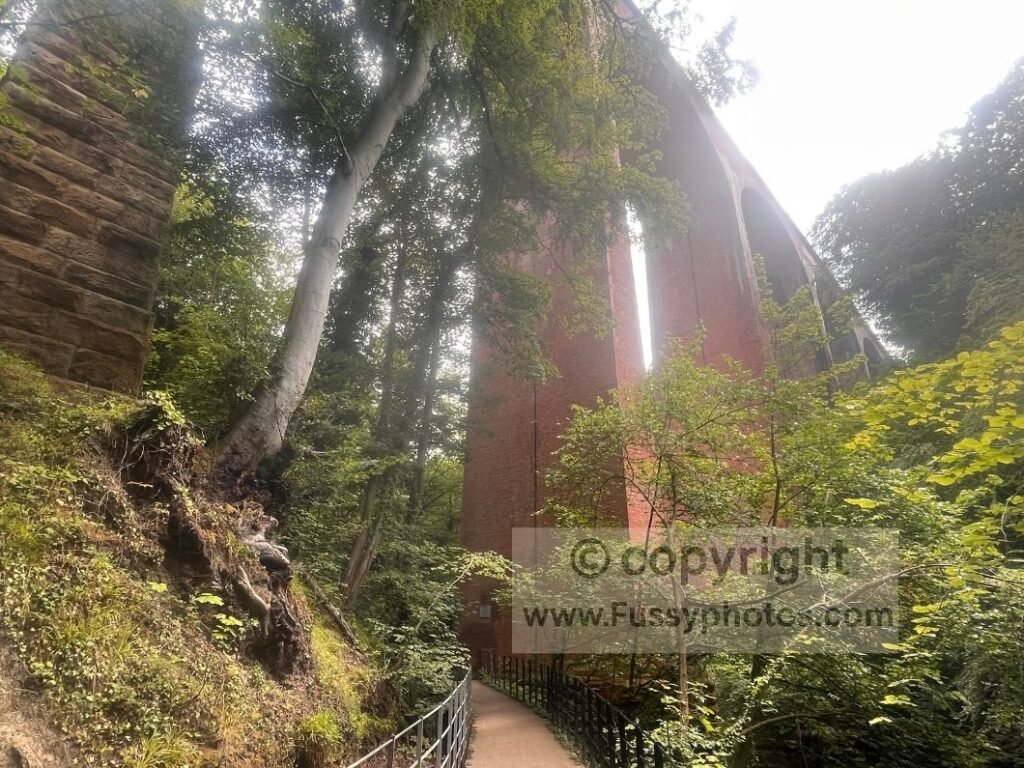
Skelton Railway Viaduct on the Cleveland Way
The walking was pleasant but uneventful until a descent brought us to Skelton Railway Viaduct, a Grade II listed structure with ten red‑brick piers and eleven arches, completed in 1872.
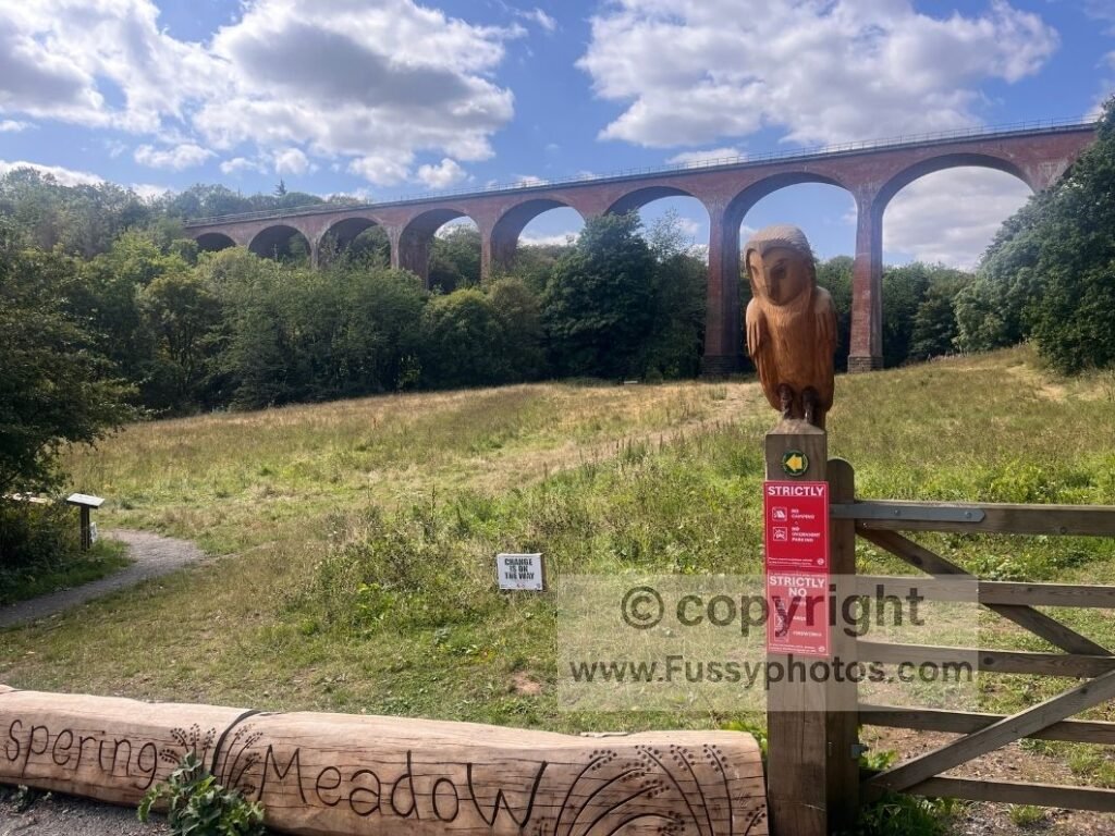
The trail passed under the viaduct before meandering around Skelton Beck and several attractive water features.
Navigating Through Skelton Village on the Cleveland Way
Further south, the trail made its way across Skelton. Navigation required attention: trail signs were present but often small and occasionally obscured by trees and bushes. I relied on GPS to make things easier. The south end of the village had a short run of shops, including a Co‑Op, a bank and a newsagent.
Steps then led us to around 140m elevation, offering clear views back to the coast.
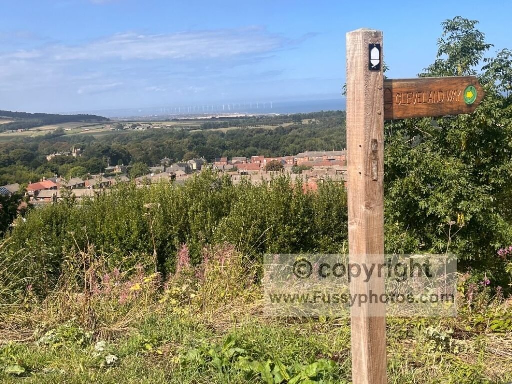
Leaving the Cleveland Way at the A171
Further south, the trail crossed fields and followed Airy Hill Lane — a quiet farm track with high hedges that blocked most views, though intermittent gaps offered pleasant glimpses westwards. I found the track monotonous for the best part of a mile before reaching around 220m elevation, where Guisborough Woods and the Cleveland Hills appeared on the horizon.
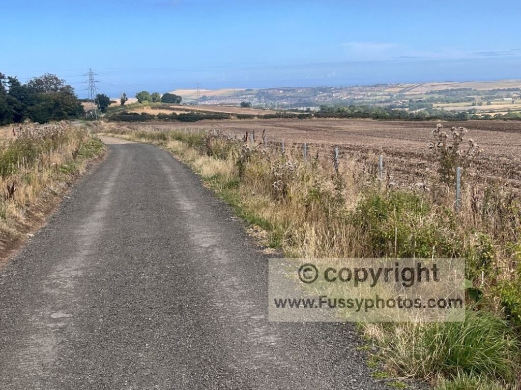
Near the A171, the trail steepened sharply, a knee‑jarring descent to the roadside. The Cleveland Way crossed the road before entering Guisborough Woods on its way to Roseberry Topping, but we left the trail here, following the road and then a path across farmland west into Guisborough, tired after 28 miles and more ascent and descent than we had expected.
Final Reflections on the Cleveland Way: Whitby to Guisborough
- Outstanding coastal walking — some of the best I’ve ever experienced, with wide, empty beaches framed by dramatic cliffs and a string of North Yorkshire villages that felt genuinely welcoming.
- Book accommodation early — in summer you’re competing with mainstream holidaymakers, and beds along this stretch of the Cleveland Way disappear fast.
- Plenty of food and drink stops — from pubs and cafés to small village shops in, it was easy to refuel along the way.
- Perfect weather made the British coast shine — calm seas, clear horizons and warm air; it must feel very different in wind or rain.
- Looking forward to returning — next time to complete Whitby → Robin Hood’s Bay → Scarborough (two stages). That will leave Bloworth Crossing → Guisborough to finish the Cleveland Way — an unusual way to complete a National Trail without ending on its official final stage.
Although this section comes later when walking the Cleveland Way clockwise, I actually completed the Cloughton → Scarborough → Filey finale earlier in my journey — you can read that full write‑up here: Cleveland Way Coastal Finale: Cloughton – Scarborough – Filey Highlights