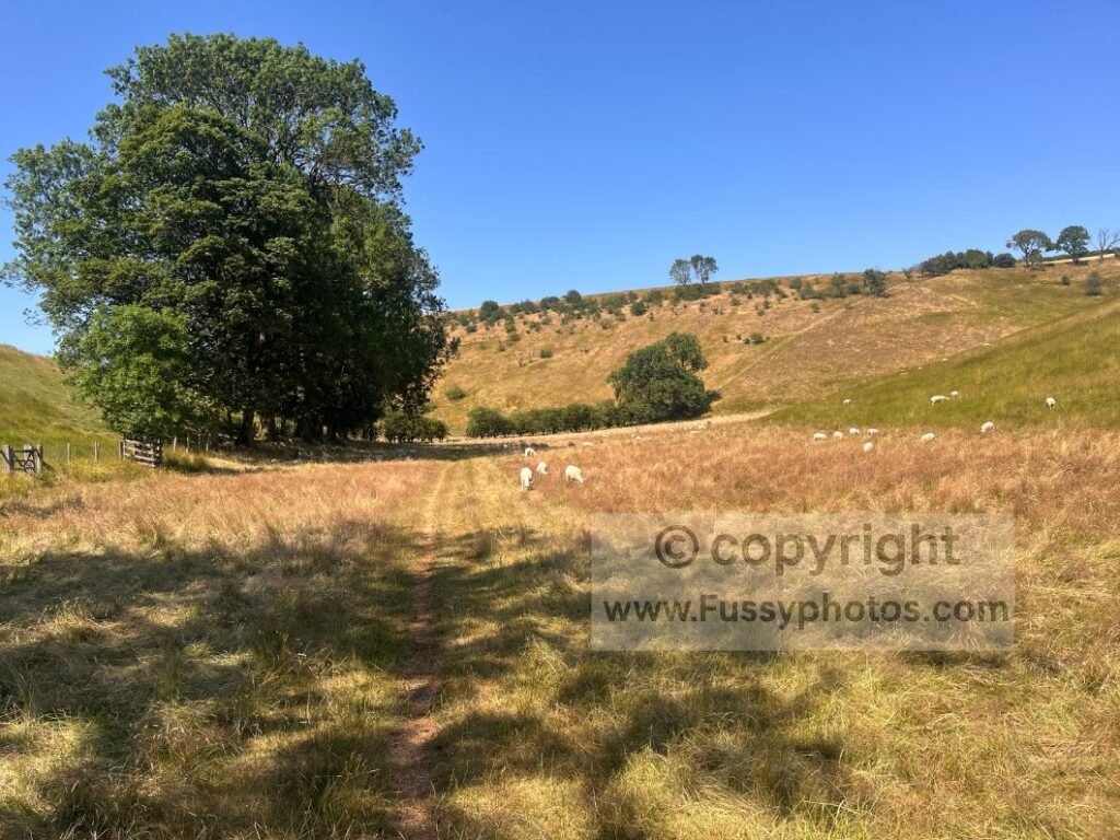
The Yorkshire Wolds Way is famous for its sweeping dry valleys, yet the central area of the route is surrounded by equally fine scenery that the National Trail never reaches. In the spirit of Alfred Wainwright, all it takes is an OS map and a little imagination to create a circular day walk that blends the best sections of the trail with the surrounding landscapes it misses.
Key Facts Summary
- Distance: 12 miles
- Elevation: 518m
- Start/Finish Options: Wayrham Picnic Area, Thixendale, Kirby Underdale
- Pub Stop: Cross Keys Inn, Thixendale (reopened June 2026)
- National Trail Sections: Includes Thixen Dale, one of my Top 10 Highlights
- Maps Required: OS Explorer 294 (Yorkshire Wolds)
- Suitable For: Confident walkers comfortable with dry‑valley navigation and chalk escarpments
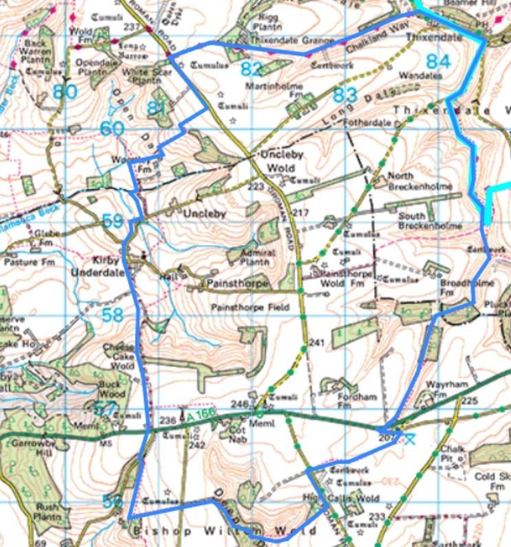
Thixen Dale Loop OS Map Extract
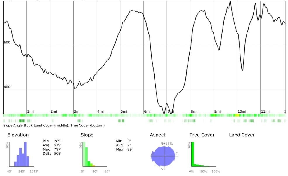
Thixen Dale Loop Elevation Profile
Watch The Thixen Dale Loop: Hidden Valleys and Big Wold Views

Parking Options
This 12‑mile circular includes one of my Top 10 Highlights of the Yorkshire Wolds Way — Thixen Dale — and remains one of my favourite places to walk and explore. Parking is available at Thixendale, Kirby Underdale or Wayrham Picnic Area, giving you flexibility in choosing where to begin and end the loop. Starting at Kirby Underdale or Wayrham Picnic Area also allows a break at the Cross Keys Inn, Thixendale, reopened under new ownership in June 2026. With a picnic mat or a grassy bank, there are multiple attractive places to pause in good weather.
Choosing Your Direction: Clockwise or Anticlockwise
I have no strong preference for walking the loop clockwise or anticlockwise — having completed it both ways, it’s remarkable how different the valleys feel in reverse. The description below begins at Wayrham Picnic Area and follows an anticlockwise circuit, offering long, flowing views down Wayrham Dale and the sweeping curves of Thixen Dale under open skies.
Wayrham Dale → Bradeham Dale
The walk begins with a gentle descent into Wayrham Dale, a narrow dry valley framed by a dark conifer plantation at its southern end. It’s a tributary of Bradeham Dale, a wide grassy valley where navigation is straightforward, though you should take care not to wander into one of the side‑valleys branching away from the main line.
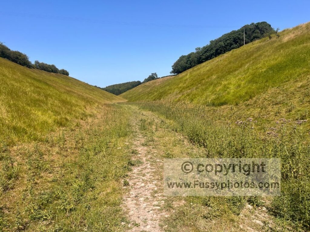
After half a mile of enjoyable walking, the dale opens out and leads naturally into Thixen Dale.
Thixen Dale → Thixendale Village
Trail junctions appear frequently here, but if you’re following this route, simply join the Wolds Way and stay on the lower path, heading north towards Thixendale.
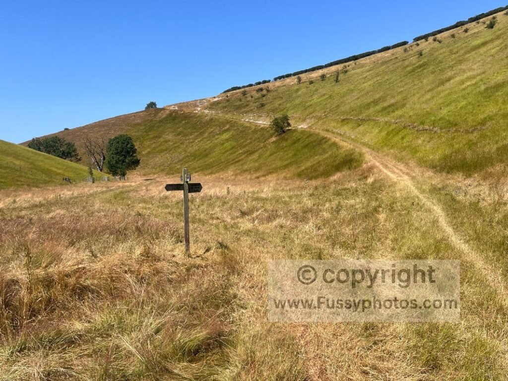
In fine weather the dry valleys look magnificent — long green curves under bright skies, with tall trees offering pockets of shade and sheep grazing quietly on the slopes.
Optional Detour to the Robert Fuller Gallery
Thixen Dale continues for miles, all the way to the village and then west beyond it. At the road, follow it northeast. There’s a short detour to the Robert Fuller Gallery (¼ mile west), and the road walking itself is quick and quiet.
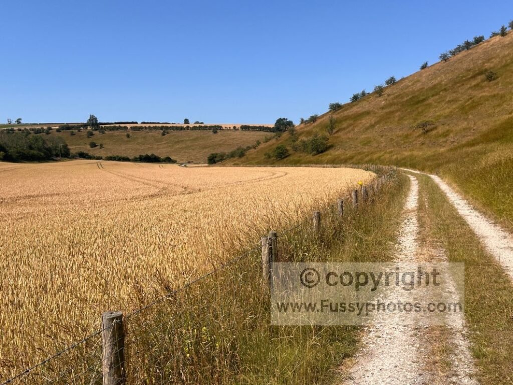
For opening times, exhibitions and wildlife art, see the Robert Fuller Gallery website.
Break at the Cross Keys Inn, Thixendale
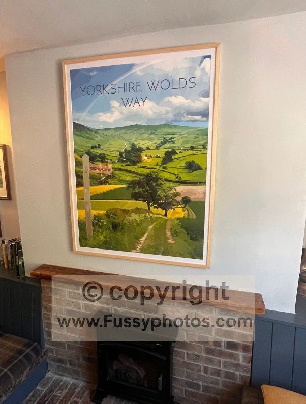
Thixendale is a small, attractive village. With the Cross Keys now open again, we received a warm welcome, stopping for a drink and admiring the framed Wolds Way poster on the wall — though as the landlord agreed, the landscape looks more like the Yorkshire Dales in that particular illustration.
For current menus, room availability and seasonal opening hours, visit the Cross Keys Inn, Thixendale page.
Thixendale → Milham Dale via The Chalkland Way
Heading west out of Thixendale, follow the Wolds Way briefly before leaving it as it climbs towards Valley Pasture Dale and the highest point on the entire 79‑mile trail. If you want to explore that section, it’s covered in both my Top 10 Highlights of the Wolds Way and my Wharram Percy Circular Walk.
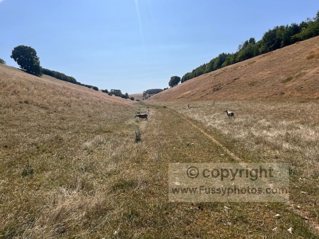
Instead, continue west along Thixen Dale via the Chalkland Way, an enjoyable 1.75‑mile stretch through Milham Dale and Thixen Dale. To the west, the Chalkland Way exits Milham Dale at a quiet Roman road.
Down Open Dale and the Chalk Escarpment
Turn south and follow the road along a wide grassy verge for 0.4 miles before leaving any traffic behind, taking a poorly signposted trail southwest down the chalk escarpment towards Kirby Underdale. The views here are far‑reaching and varied — rolling farmland, deep valleys and long horizons — and we’ve seen some glorious sunsets from this barely trodden section across Open Dale.
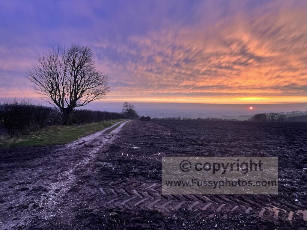
Passing the Slopes of Cheesecake Wold
From Kirby Underdale, the easiest route is to continue south past the gloriously named Cheesecake Wold, ascending around 130m.
Cheesecake Wold → Worsen Dale
If you can resist the temptation to shortcut along the A166, cross the road and follow Worsendale Road briefly southwards before taking a parallel trail above Worsen Dale. The view into the dale and the descent towards Bishop Wilton are memorable — a classic chalk‑land panorama of sweeping slopes and quiet farmland.
Turn east after a third of a mile, regaining some of the height you’ve just lost, before crossing the road and following a gravel lane down into Deep Dale.
Deep Dale → Wayrham Picnic Area
Deep Dale is a rarely frequented yet beautiful dry valley — one I only discovered by creating my own route, and have since walked five or six times. The final spike on the elevation profile comes here: the trail descends to the valley floor before a steep ascent with no switchbacks. If you’re unlucky, there may be cows in the field — dodge them, then follow the trail past another conifer plantation to a second quiet Roman road.
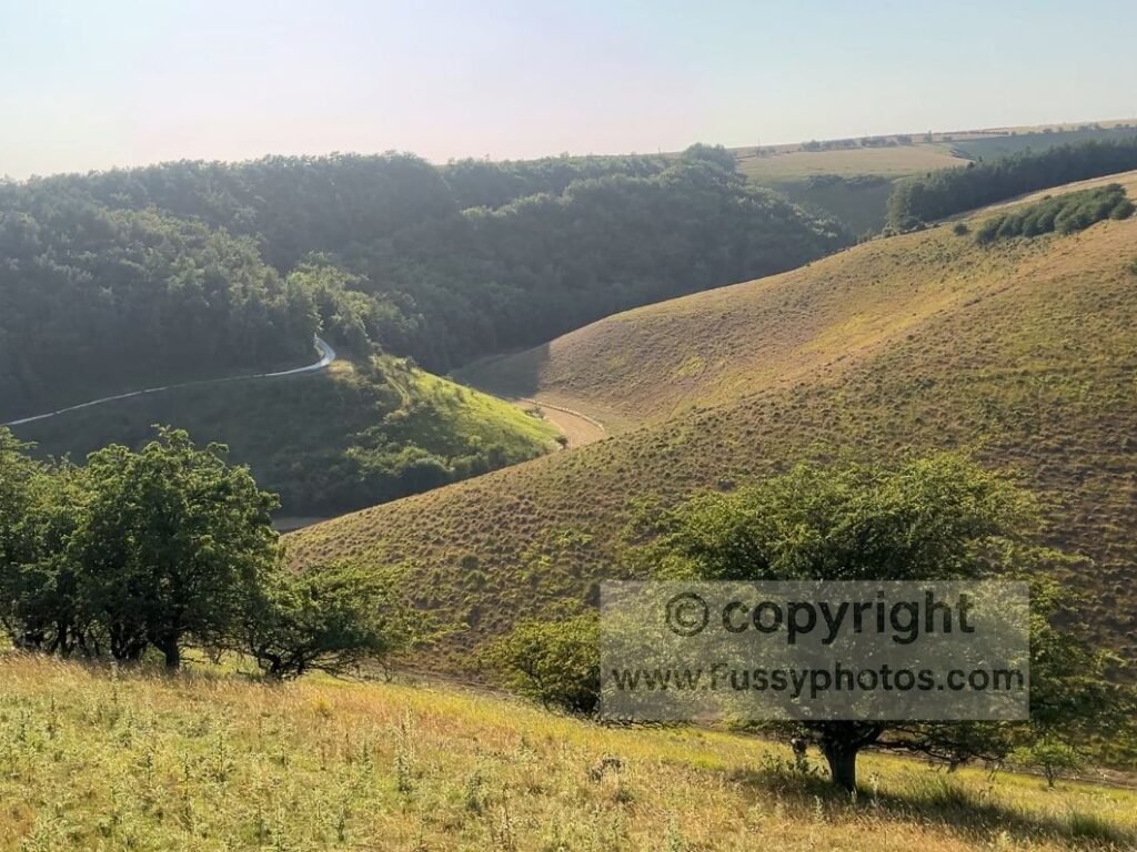
The road walking northwards is painless, and soon enough there’s a right turn leading across sheep fields to complete the loop back to Wayrham Picnic Area.
Yorkshire Wolds Way Hub
Return to the Yorkshire Wolds Way Hub for more guides, stages and planning resources.