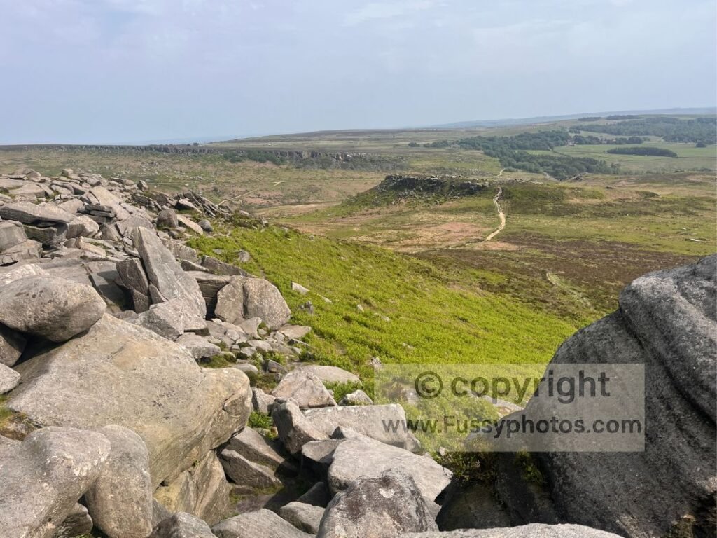
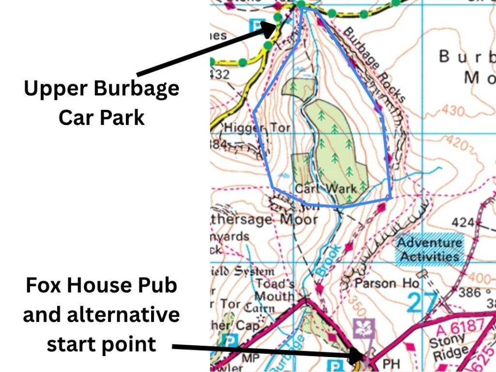
Upper Burbage and Burbage Rocks offer a great short walk suitable for all ages and abilities. Close to Sheffield, with a small car park that often hosts an ice‑cream van, it’s an easy and convenient place to enjoy a circular walk with something for everyone. The area can be accessed from Ringinglow Road or Hathersage Road — the latter ideal if you want to combine the walk with a pub stop at Fox House. Approaching from the north, the loop can be extended to the pub by around 1.5–2 miles depending on which variation you choose, and confident walkers can also continue north‑west to Stanage Edge for a longer gritstone‑edge extension.
Key Facts: Upper Burbage & Burbage Rocks Walk
- Distance — 2.5 miles
- Time Required — 1–2 hours (depending on pace and exploration of the tors)
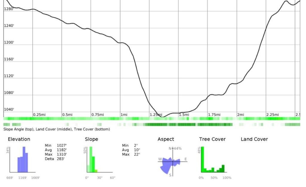
- Elevation Gain — 90 metres
- Terrain — Easy moorland paths with optional rocky scrambles on the tors
- Difficulty — Suitable for all ages and abilities; short, accessible circular
- Start / Parking — Small car park at Upper Burbage, accessed via Ringinglow Road or Hathersage Road
- Family Friendly — Plenty of rocks for children to climb and explore
- Best Features — Views of Higger Tor, Carl Wark, and the Burbage valley
- Extensions — Add 1.5–2 miles to reach Fox House, or continue north‑west to Stanage Edge for a longer gritstone‑edge variation
- Seasonal Notes — Valley sections can be boggy; occasional cattle in summer
Route Map: Upper Burbage & Burbage Rocks Short Loop
Elevation Profile: Upper Burbage & Burbage Rocks Short Loop
Explore the Upper Burbage Short Loop on Video — Peak District Highlights

Route Overview: High and Low Trails Around Burbage Rocks
I’ve described the loop clockwise, though either direction works equally well. Starting at the northern end of the circuit, the first choice is whether to take the higher trail above Burbage Rocks, or the lower trail beneath them. Both run parallel for a few hundred metres, but each offers a different feel:
Higher Trail: Quieter Views Across the Moorland Bowl
The upper path is quieter, with slightly elevated views across the bowl‑shaped hollow beneath, including Higger Tor and Carl Wark.
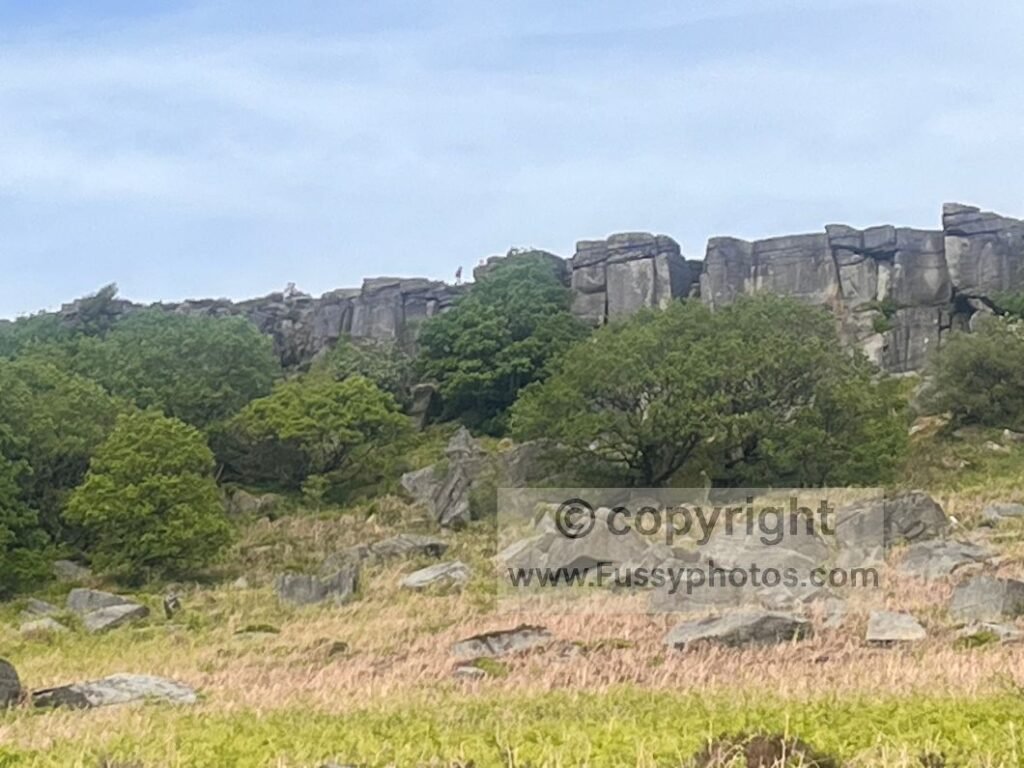
Lower Trail: Busier, Faster Walking with Boulders to Explore
The lower trail is wider and busier, passing various boulders and often a climbing group tackling Burbage Rocks. Children tend to enjoy this section, hiding and jumping among the rocks.
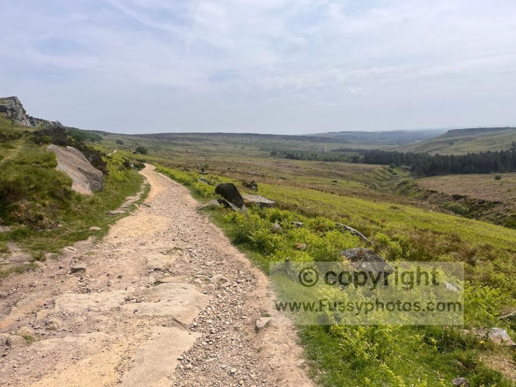
Southbound Views: Higger Tor, Burbage Brook and the Plantation
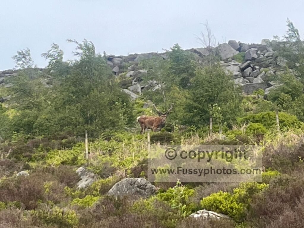
Walking south, Higger Tor rises sharply to the right, reaching 434m above Burbage Brook in the hollow below. An attractive plantation sits in the valley, offering plenty to look at — including deer on my latest visit.
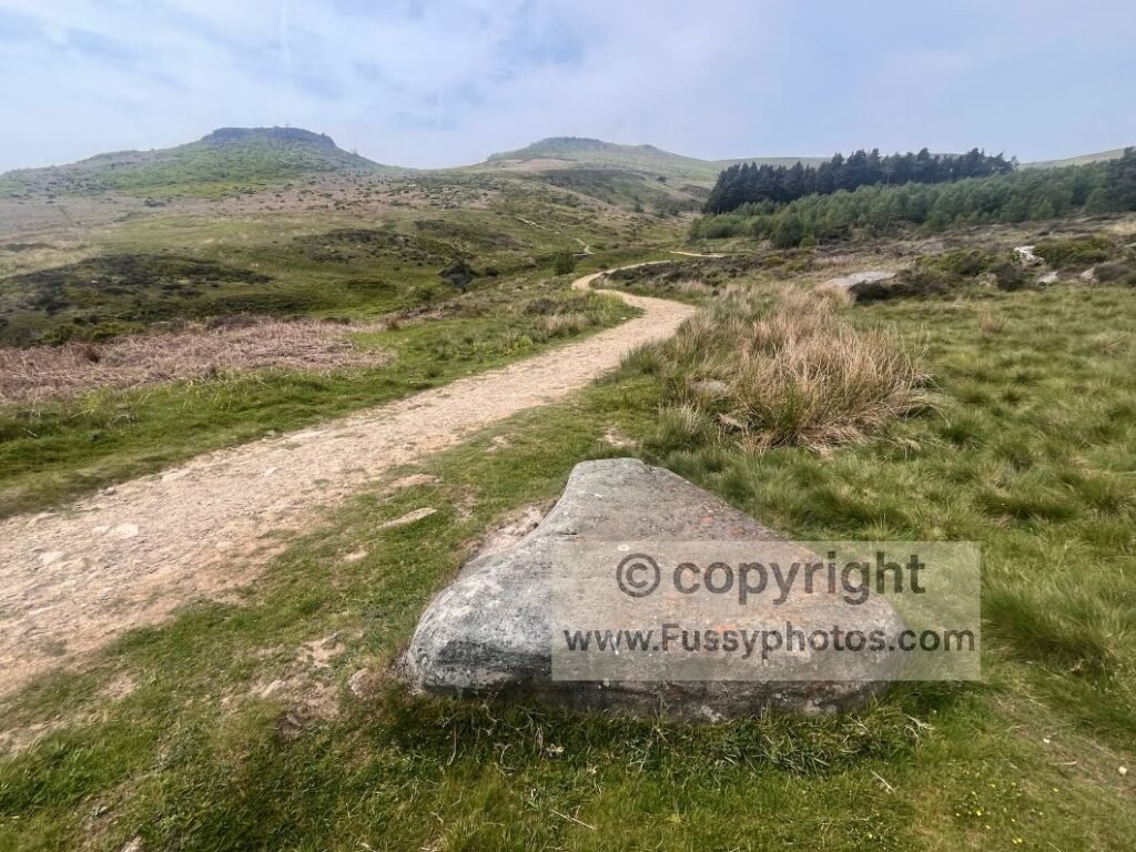
Walking with family, we took the first right turn for the most direct line to Carl Wark, knowing the children would prefer climbing to walking. However, it’s easy to extend this short 3‑mile circular by continuing south to the next trail junction at Burbage Bridge, or a little further to Fox House.
Taking the right turn, the trail drops gently to the bottom of the valley before rising again to the north of Carl Wark, where a junction allows you to turn left to visit the old fort or right towards Higger Tor. The children chose a direct off‑trail scramble up Carl Wark. Be aware that the valley can become boggy, and cows are occasionally present, though I haven’t seen them recently.
Exploring Carl Wark: Ancient Fort and Moorland Views
Carl Wark is an ancient escarpment fort built around sheer natural cliffs, long thought to be Iron Age or Dark Age in origin and possibly reused much later as a defensive outpost. Its position above the moorland makes it strategically significant, though excavations have never produced firm dating evidence.
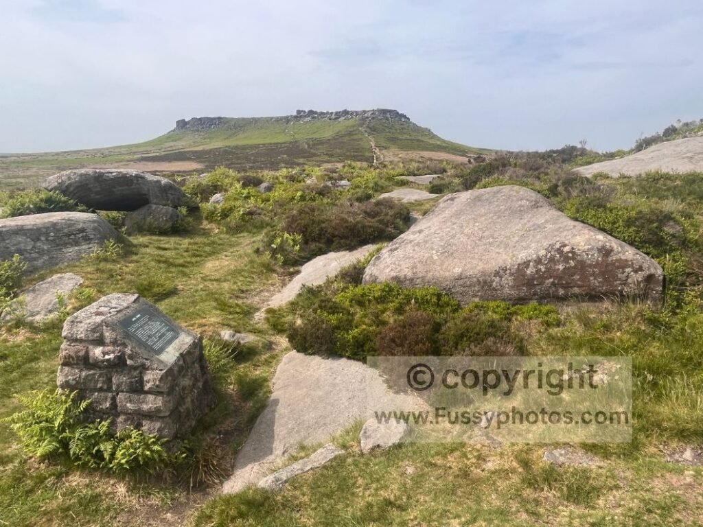
After exploring the rocks, remnants of the fort and the wide views, Higger Tor is just a third of a mile north — another excellent vantage point with more rocks to climb, explore and photograph.
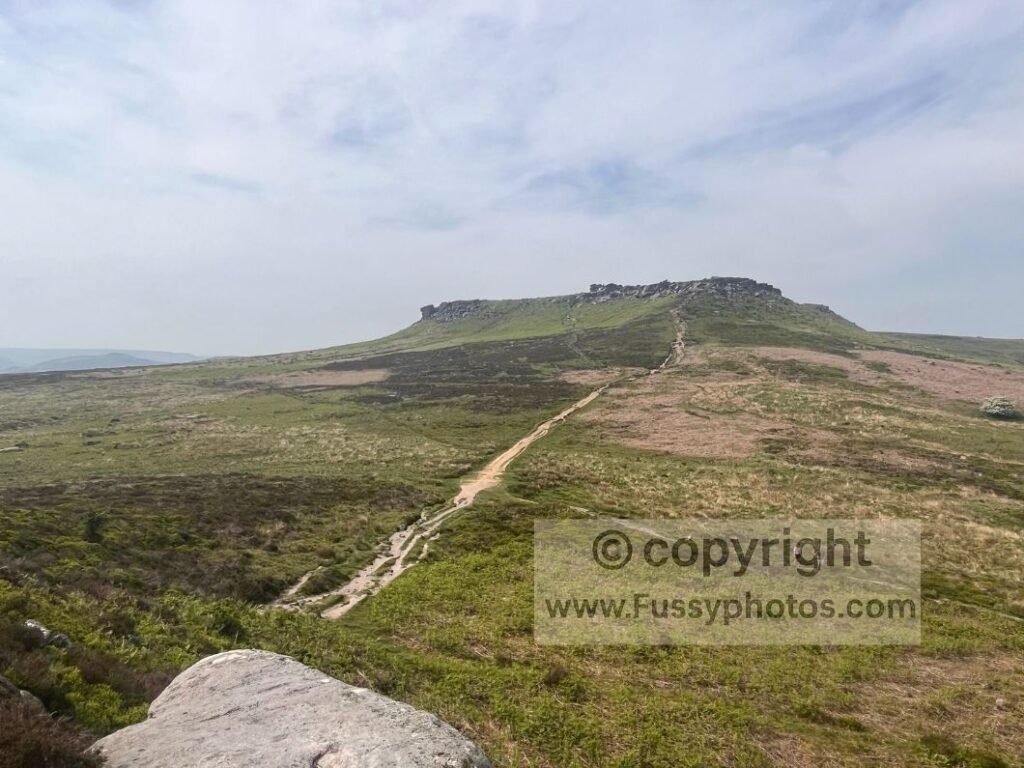
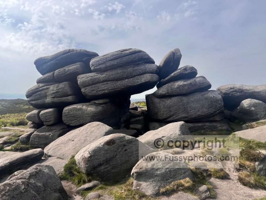
Finishing the Loop: Returning to Upper Burbage or Extending to Stanage Edge
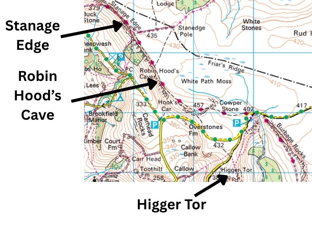
If you’re continuing clockwise, descend Higger Tor to the northeast to return to the car park — and possibly an ice cream. If you’d prefer to extend the day, you can pivot northwest towards Robin Hood’s Cave and Stanage Edge; see my Stanage Edge & Robin Hood’s Cave circular walk for full details of that longer gritstone‑edge route.
Expanded Route Map: Upper Burbage Loop with Higger Tor, Robin Hood’s Cave & Stanage Edge
Other Short Peak District Walks
- Explore the short but rewarding Win Hill Short Circular, a 3.5‑mile loop above Ladybower with forestry paths, heather moorland and one of the best viewpoints in the Peak District.
- Follow the easy Langsett Reservoir Circular, a 3.7‑mile loop of woodland paths, moorland edges and wide reservoir views with benches, family‑friendly detours and a short climb to Hingcliff Common.
Explore more of the National Park with my full Peak District Walks Hub — packed with maps, photo‑rich guides, video walkthroughs and routes for every part of the Peak District.