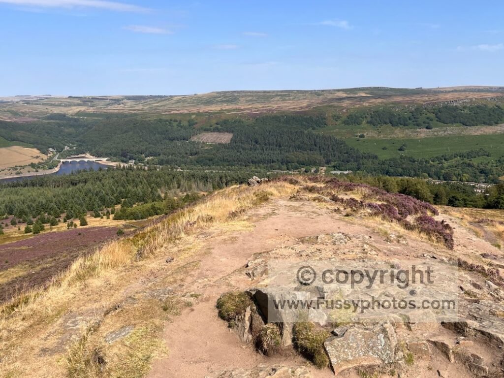
The Peak District offers some of the most varied walking in Britain, with high moorland edges, quiet limestone valleys, classic ridge routes and reservoir circuits spread across its different regions. This hub brings together my best day walks across the National Park — short loops, longer ridge days, family‑friendly circuits and several Pennine Way samplers — each with a full guide, maps, photos and clear navigation notes.
The walks here are organised by region, making it easy to choose routes based on where you’re starting your day. Whether you’re exploring Edale & Hope Valley, the Ladybower & Upper Derwent reservoirs, the limestone country of the White Peak, or the high moorland miles of the Pennine Way, each area offers its own character, scenery and style of walking. My aim is to give you everything you need to plan confidently. Enjoy.
Peak District Walks Playlist
A curated Peak District Walks Playlist showcasing the best ridge routes, limestone dales and easy family circuits — filmed with clear route guidance and real on‑trail conditions.
Explore the Peak District by Area
Edale, Castleton & Hope Valley Walks
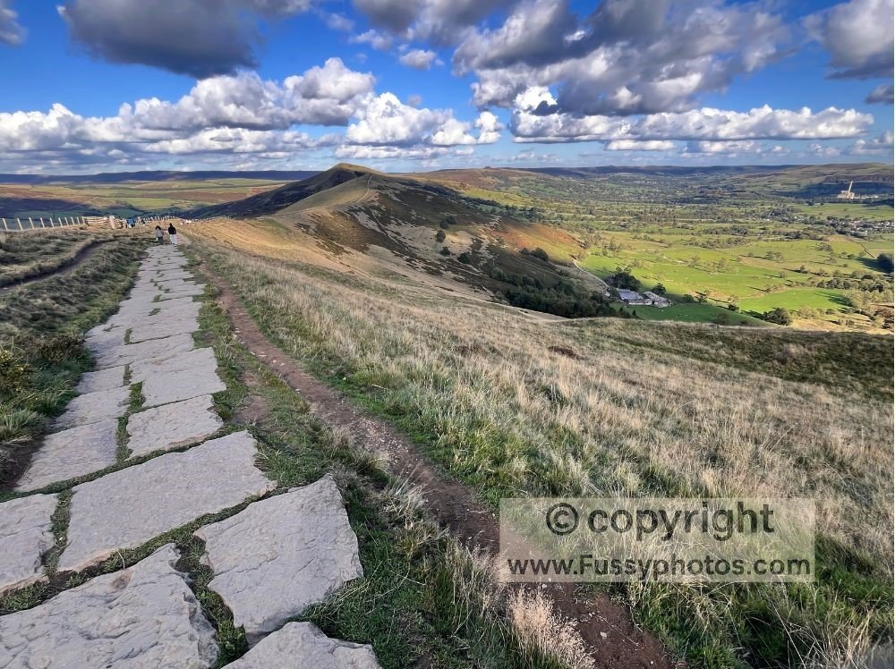
Mam Tor Circular Walk: How to Enjoy Dramatic Views
Mam Tor is the classic Edale and Hope Valley ridge walk, combining Castleton’s limestone scenery with sweeping views over the Vale of Edale. This route links Mam Tor, Hollins Cross and Lose Hill in one dramatic spine, with optional extensions into Cave Dale or the Limestone Way. It’s the perfect introduction to the Great Ridge and one of the most rewarding day walks in the Peak District.
- Mileage: 9 miles
- Difficulty: Moderate
- Elevation gain: ~500 m
- Terrain: Limestone Way, rocky Cave Dale ascent, stepped climb to Mam Tor, Great Ridge paths over Hollins Cross, Back Tor and Lose Hill
- Child‑friendly: Yes — well‑maintained paths and secure ridge sections; steep in places but manageable
- Public transport: Train to Hope; 272 bus between Sheffield–Castleton for direct access to Castleton
Edale to Kinder Downfall: A Dramatic Pennine Way Loop
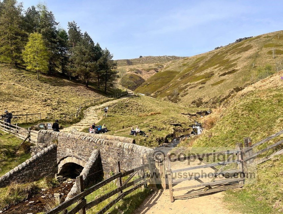
Edale marks the start of the Pennine Way, and this loop to Kinder Downfall is one of the most dramatic day walks in the Peak District. The route climbs Jacob’s Ladder, crosses the high gritstone plateau to Kinder Low, and follows the northern edge cliffs above Kinder Reservoir before looping back across Edale Moor. With options for a hands‑on scramble down Crowden Brook or a gentler descent via Grindsbrook Clough, it’s a superb introduction to the rugged scenery around Kinder Scout.
- Mileage: 8.5 miles
- Difficulty: Moderate–Hard
- Elevation gain: ~450 m
- Terrain: Paved slabs, rocky paths, moorland, and an optional Grade 1 scramble down Crowden Brook
- Child‑friendly: Yes for older children if you avoid the Crowden Brook scramble
- Public transport: Train to Edale (Hope Valley Line); direct access to the start of the walk
The Edale Loop You’ve Probably Never Tried (But Should)
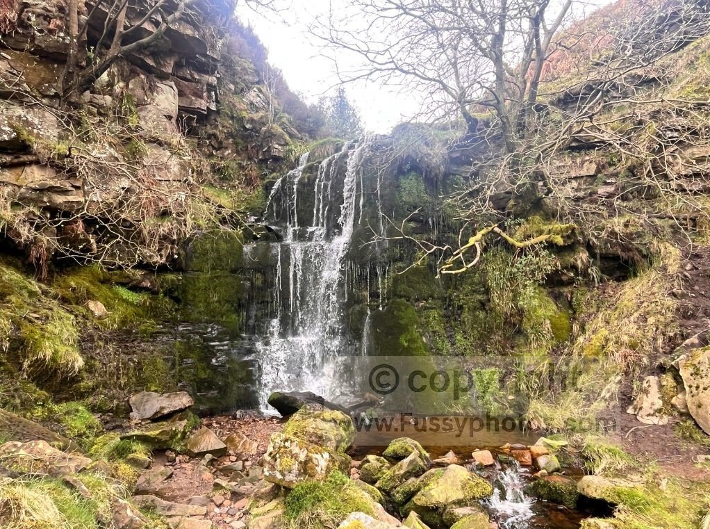
This quieter Edale loop climbs the adventurous Blackden Brook gorge before reaching the wide ridge of Blackden Edge, with superb views across Edale Valley, Lose Hill, Back Tor, Hollins Cross and Mam Tor. The route mixes hands‑on scrambling, faint sheep trails and big ridge scenery, making it a more adventurous alternative to the classic Edale and Hope Valley walks. After descending into Edale via Golden Clough, the loop climbs back to Blackden Edge for a figure‑of‑eight finish — ideal for walkers wanting a wilder, less‑trodden Peak District day walk.
- Mileage: ~10 miles (figure‑of‑eight loop)
- Difficulty: Moderate–Hard
- Elevation gain: ~800 m, including two steep climbs
- Terrain: Muddy sheep trails, rocky scrambles, scree, ridge paths and steep valley tracks
- Child‑friendly: No — hands‑on scrambling, faint paths and steep descents
- Public transport: Limited — nearest access is Edale Station
Ladybower, Bamford & Upper Derwent Walks
Stanage Edge Circular Walk: Stunning Upgrade on a classic
The Stanage Edge Circular combines the famous gritstone ridge of Stanage Edge with riverside walking near Hathersage, a crossing of Ladybower Reservoir, and superb views across Hope Valley. Starting in Hathersage, the route follows the River Derwent, climbs past Bamford Edge, and reaches the high point of Stanage Edge at over 400 metres — with optional detours to Robin Hood’s Cave or onward to Burbage Rocks. It’s a varied 10‑mile loop mixing classic edge walking, peaceful valley paths and big Dark Peak scenery, ideal for walkers wanting a longer, scenic day route in the Peak District.
- Mileage: just over 10 miles
- Difficulty: Moderate
- Elevation gain: ~400 m
- Terrain: Riverside paths, reservoir crossing, steady climbs, gritstone edge walking and the short detour to Robin Hood’s Cave
- Child‑friendly: Possible for adventurous older children — exposed edges and steep drops in places
- Public transport: Train to Hathersage
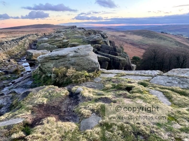
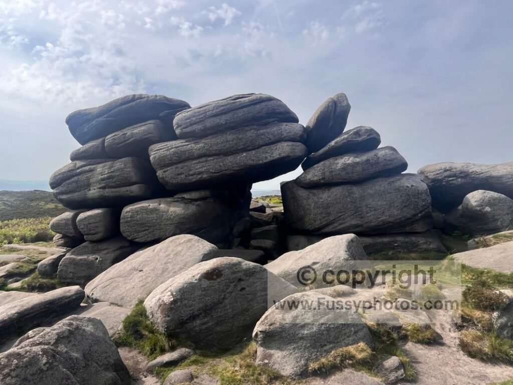
Upper Burbage Loop – Easy Peak District Walk for all Ages
The Upper Burbage Loop is one of the easiest and most accessible short walks in the Peak District, offering gentle moorland paths, family‑friendly boulders and wide views across the Burbage Valley. Starting from the small car park above Burbage Rocks, the circuit follows high and low trails beneath the gritstone edge, with views of Higger Tor, Carl Wark and the bowl‑shaped hollow of Burbage Brook. Optional detours lead to the ancient fort on Carl Wark, the rocky summit of Higger Tor, or onward to Stanage Edge for a longer gritstone‑edge extension. At just 2.5 miles, it’s an ideal short outing for all ages — easy, scenic and close to Sheffield.
- Mileage: 2.5 miles
- Difficulty: Easy
- Elevation gain: ~90 m
- Terrain: Easy moorland paths with optional rocky scrambles on the tors
- Child‑friendly: Yes — plenty of rocks to climb and explore
- Public transport: 271/272 bus from Sheffield or Hathersage to Burbage Bridge
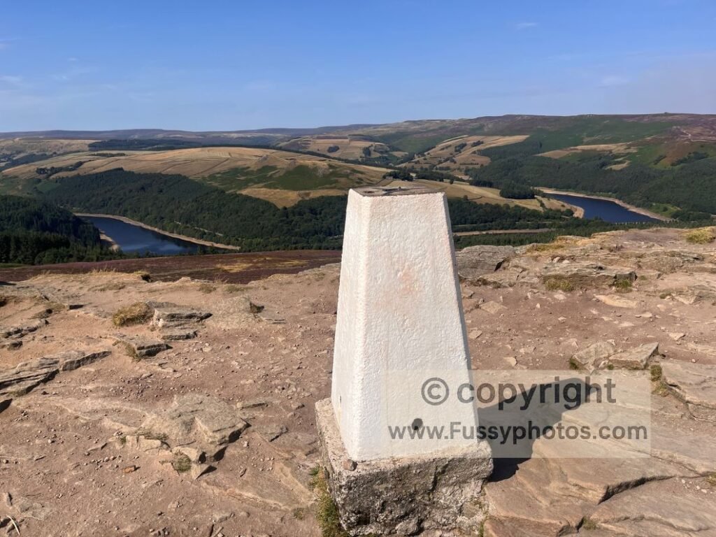
Win Hill Short Circular from Ladybower
The Win Hill Short Circular is one of the best compact walks above Ladybower Reservoir, combining reservoir paths, forestry tracks and a short heather‑covered ascent to one of the finest viewpoints in the Peak District. Starting from the A6013 or Heatherdene, the loop crosses Ladybower, climbs through the plantation and emerges onto open moorland for a final push to the Win Hill trig point at 463 m. The summit delivers huge panoramas across Mam Tor, Castleton, Edale Valley, Alport Dale, Bamford Edge and Stanage Edge — an exceptional reward for under 300 m of ascent. At just 3.5 miles, it’s a perfect short outing for mixed‑ability groups, tight weather windows or anyone wanting a high‑impact Peak District viewpoint with minimal commitment. For a longer day, Win Hill links easily to Alport Castles, the Vale of Edale, Bamford Edge, Stanage Edge, or the full Ladybower & Stanage circuit.
- Mileage: 3.5 miles
- Difficulty: Short, steep in places
- Elevation gain: under 300 m
- Terrain: Reservoir paths, forestry plantation, heather moorland and a steep final ascent to Win Hill
- Child‑friendly: Yes for active families — short but steep; excellent reward‑to‑effort ratio
- Public transport: Train to Bamford + 257 bus to Ladybower
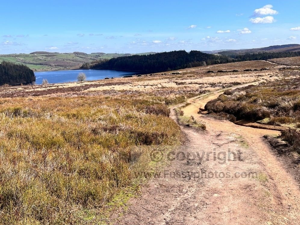
Langsett Reservoir Circular: Easy Walk Route Guide
The Langsett Reservoir Circular is one of the most accessible walks in the Peak District, mixing gentle woodland paths, wide reservoir views and a short climb onto the moorland above Langsett. Starting near Langsett Barn, the loop follows easy trails through Thickwoods Plantation, crosses the Porter of the Little Don River, and briefly rises onto Hingcliff Common for big Dark Peak scenery before returning along the reservoir’s quieter northern edge. It’s an easy–moderate 3.7‑mile route with benches, family‑friendly riverside sections and optional extensions towards Mickleden Edge, Margery Hill or even the Derwent Reservoir watershed.
- Mileage: 3.7 miles
- Difficulty: Easy–Moderate
- Elevation gain: ~320 m
- Terrain: Well‑maintained woodland paths, rocky sections, lane walking, and a short moorland climb to Hingcliff Common
- Child‑friendly: Yes — benches, woodland, riverside areas and manageable gradients
- Public transport: 59/59A bus (Holmfirth–Crow Edge–Langsett–Stocksbridge); stops in Langsett village, a short walk from the reservoir
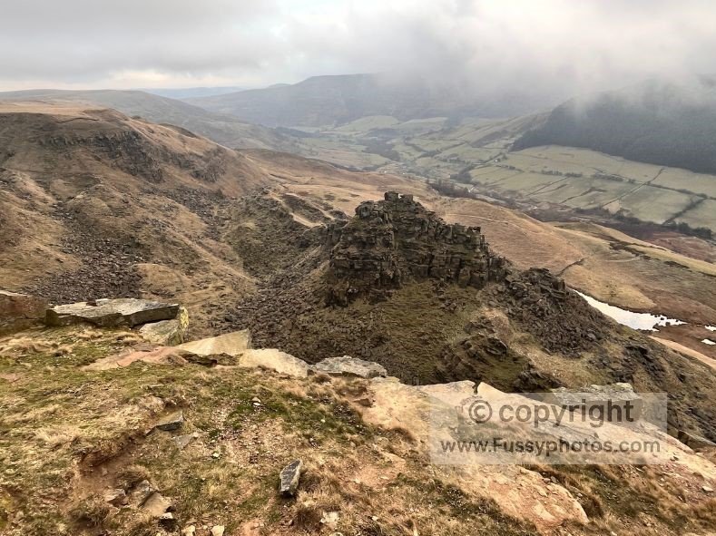
Alport Castles Circular Guide from Ladybower Reservoir
The Alport Castles Circular is one of the most varied day walks in the Peak District, combining quiet valley paths, scenic reservoir walking and a spectacular ridge approach above Ladybower and the Upper Derwent. Starting near Fairholmes, the loop climbs through Woodcock Coppice, crosses the Ashop Valley, and ascends steeply to the ridge overlooking Alport Castles — the dramatic landslip formation that dominates the valley. The return via Howden Reservoir and Derwent Dam offers a gentle, scenic finish, making this a rewarding 9.5‑mile circuit with huge views and classic Dark Peak atmosphere.
- Mileage: 9.5 miles
- Difficulty: Moderate–Hard
- Elevation gain: ~600 m
- Terrain: Steep woodland ascents, peaceful valley paths, moorland plateau, conifer plantations, and a dramatic ridge approach to Alport Castles
- Child‑friendly: No — steep climbs, exposed sections and long moorland miles
- Public transport: Train to Bamford + 257 bus to Ladybower; still at least 1–2 miles from the walk start
White Peak & Limestone Walks
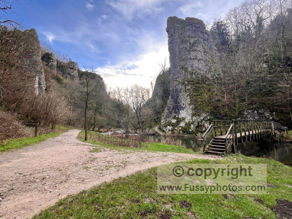
How to walk a scenic Dovedale Stepping Stones circular
The Dovedale Stepping Stones and Thorpe Cloud circular is one of the most iconic walks in the White Peak, combining limestone gorges, riverside paths and classic views over the River Dove. This 10‑mile loop includes the ascent of Thorpe Cloud, the famous Dovedale Stepping Stones, and scenic gorge walking past Ilam Rock, Dove Holes and the narrow boardwalk sections of Dovedale. With optional shorter variations and a fast return via the Tissington Trail and Limestone Way, it’s a flexible route suitable for families, photographers and anyone wanting a full tour of the Peak District’s best limestone scenery.
- Mileage: 10 miles
- Difficulty: Moderate
- Elevation gain: ~400 m
- Terrain: Limestone gorge paths, riverside walking, caves, boardwalk sections, and a steep ascent/descent on Thorpe Cloud
- Child‑friendly: Suitable for families on shorter variations; full loop may be too long for younger children
- Public transport: Pre‑booked Moorlands Connect bus (Apr–Sept) to Ilam; nearest rail stations are Matlock and Derby
Dragon’s Back Walk: Exploring Chrome Hill in the Peak District
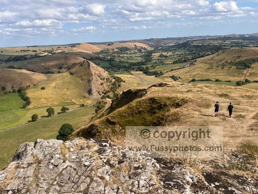
The Chrome Hill circular explores one of the most distinctive limestone summits in the White Peak, combining quiet valleys, rolling farmland and the dramatic dragon’s‑back ridge above the River Dove. Starting from Longnor or Earl Sterndale, the loop circles Hollins Hill for wide, peaceful views before approaching Chrome Hill from the west — the best vantage point for its reef‑knoll profile. A short ridge walk leads to panoramic limestone scenery, with Parkhouse Hill rising sharply opposite and a steep but straightforward descent completing this varied 6.5‑mile circuit. It’s an accessible, scenic day walk with classic White Peak character and one of the most memorable viewpoints in the Peak District.
- Mileage: 6.5 miles
- Difficulty: Moderate
- Elevation gain: ~350 m
- Terrain: Rolling farmland, quiet limestone valleys, and limestone ridges with some drop‑offs plus steep ascent and descent on Chrome Hill
- Child‑friendly: Possible for adventurous older children — uneven ground and exposed ridge sections
- Public transport: Buses run to Longnor from Buxton
Walk the Chatsworth House Best Circular Walk
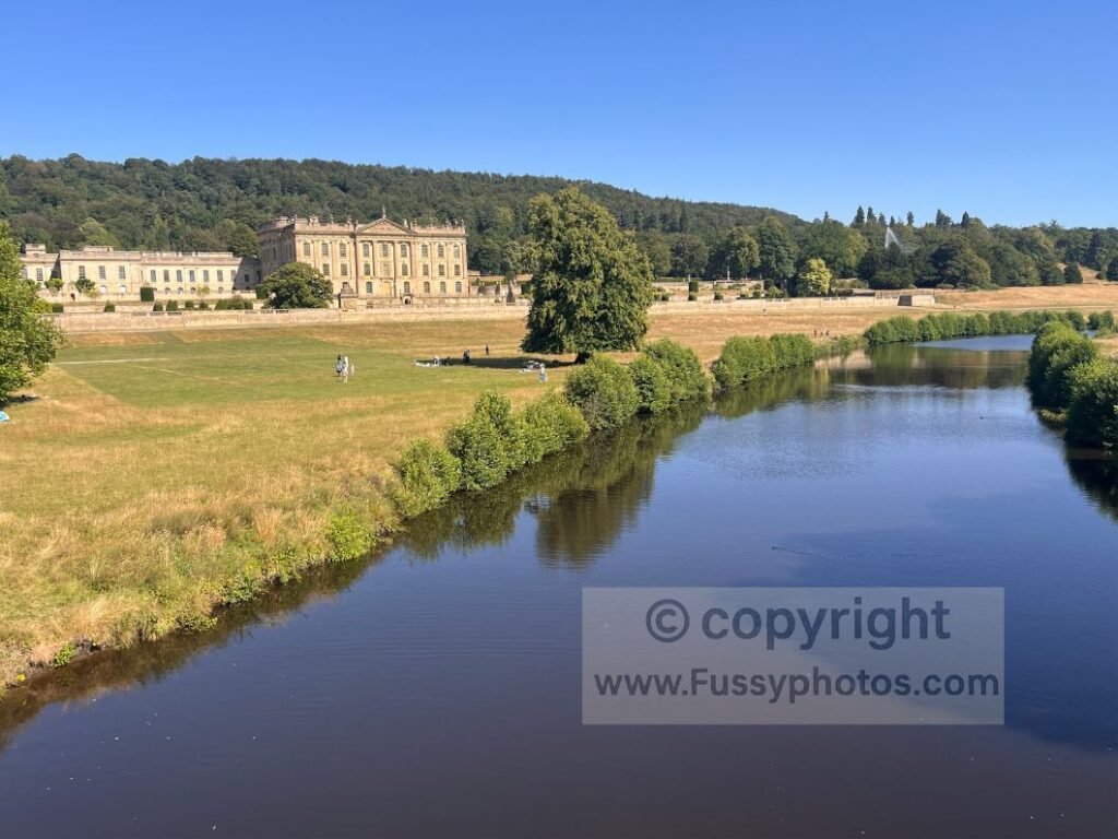
This relaxed Chatsworth House circular explores the historic Chatsworth Estate, mixing woodland trails, quiet edges and sweeping parkland views across the Derwent Valley. Starting from Baslow, the loop climbs to the Hunting Tower, passes Emperor Lake, and follows easy riverside paths past Paine’s Bridge, Paine’s Mill and Queen Mary’s Bower before returning across the estate’s classic White Peak scenery. It’s an accessible 6‑mile route with gentle gradients, heritage landmarks and wide lawns — ideal for families or anyone wanting a scenic, low‑effort Peak District day walk.
- Mileage: 6.2 miles
- Difficulty: Easy–Moderate
- Elevation gain: 220 m
- Terrain: Woodland trails, bracken slopes, open parkland, riverside paths
- Child‑friendly: Yes — suitable for families comfortable with a half‑day walk
- Public transport: Limited — best access via Baslow
Pennine Way Day Walks
Pennine Way Circular via Crowden & Doctor’s Gate
This Crowden & Doctor’s Gate circular is a superb way to sample the Pennine Way without committing to a full stage, combining high‑moorland scenery on Bleaklow Head with one of the best descents in the Peak District. Starting near Padfield or Old Glossop, the loop climbs through the dramatic valley of Doctor’s Gate, joins the Pennine Way to reach Bleaklow Head, then follows the classic descent towards Torside Reservoir before returning on the easy miles of the Longdendale Trail. It’s a 12.5‑mile route with big skies, atmospheric moorland and rewarding valley views — ideal for walkers wanting a challenging but scramble‑free introduction to the Pennine Way’s Dark Peak terrain.
- Mileage: 12.5 miles
- Difficulty: Moderate–Hard
- Elevation gain: ~520 m
- Terrain: High moorland plateau, Roman road valley, erosion channels, reservoir paths, long gravel trail
- Child‑friendly: No
- Public transport: Limited — nearest access via Glossop or Padfield; Crowden has parking but no public transport
Pennine Way Day 2: How to walk Standedge circular
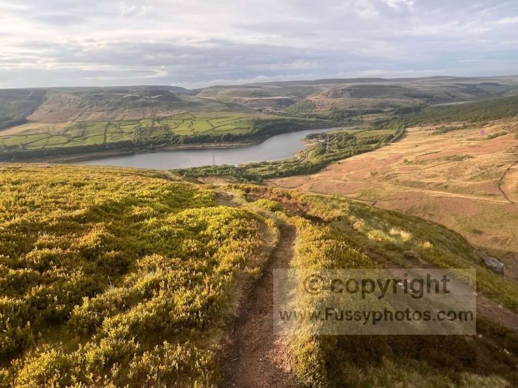
The Standedge Circular is a superb Pennine Way Day 2 alternative, offering a full taste of the trail’s scenery without committing to the full stage. Starting at Wessenden Head, the loop follows the Pennine Way past Wessenden Reservoir, climbs through the dramatic valley above Blakeley Reservoir, and continues into Marsden before reaching the historic Standedge Tunnel. The return via the Standedge Trail, Eastergate Bridge and the moorland slabs back to Wessenden Head delivers classic Dark Peak views, reservoir scenery and easy navigation — ideal for walkers wanting a shorter, accessible sampler of Pennine Way Day 2.
- Mileage: 10 miles
- Difficulty: Moderate–Hard
- Elevation gain: ~420 m
- Terrain: Reservoir valleys, moorland slabs, gritstone edges, steep v‑shaped cloughs
- Child‑friendly: No
- Public transport: Marsden train station (1–2 miles from route options)
How to Walk Pennine Way Day 2 Crowden–Black Hill
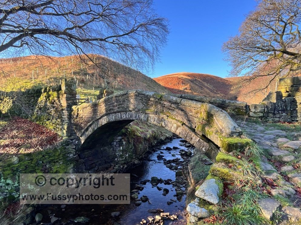
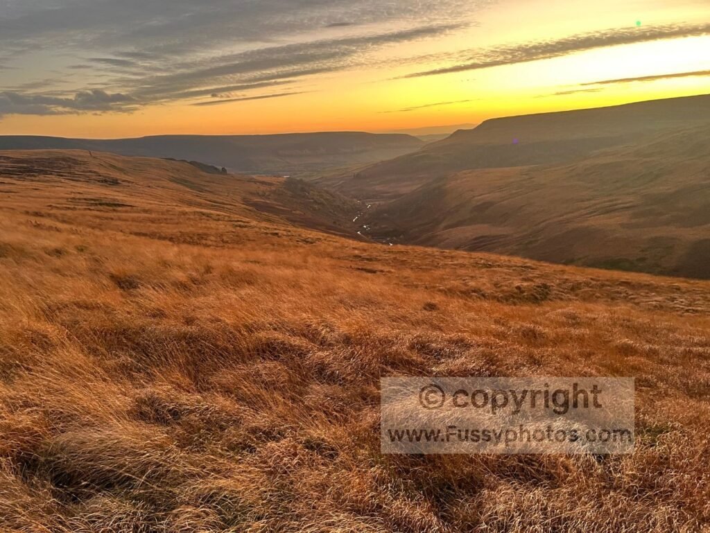
The Crowden–Black Hill circular follows one of the most dramatic stretches of Pennine Way Day 2, climbing past Laddow Rocks and rising to the moorland summit of Black Hill at 582 m. Since summer 2026, this section includes the Pennine Way wildfire diversion, a signed alternative path that temporarily replaces the classic Laddow Rocks line — still offering superb valley views and big Dark Peak scenery. Starting from Crowden, the route follows 4.5 miles of Pennine Way terrain before looping back on quieter moorland paths, with elevated views of Crowden Little Brook, atmospheric peat channels and wide sunset horizons on the descent. It’s the most reliable way to experience the highlights of Day 2 — including the new diversion — without committing to the full stage to Standedge.
- Mileage: 9 miles
- Difficulty: Hard
- Elevation gain: 470 m
- Terrain: Moorland plateau & gritstone edges
- Child‑friendly: No
- Public transport: None
Where to Base Yourself in the Peak District
- Castleton — A great base for walkers exploring Mam Tor, Cave Dale and the Great Ridge, with plenty of accommodation and easy access to the western Dark Peak.
- Edale — The classic starting point for Kinder Scout and Pennine Way Day 1, ideal if you want direct access to high moorland routes.
- Hathersage — Perfect for Stanage Edge, Burbage and Bamford; a well‑connected village with cafés, pubs and train access.
- Ladybower & Bamford — Best for reservoir circuits, Win Hill, Alport Castles and longer Dark Peak loops.
- Bakewell — A central White Peak base close to Chatsworth, Monsal Trail and limestone dales.
- Buxton — A larger town with good facilities, ideal for exploring the western moors, Goyt Valley and the higher edges of the Dark Peak.
Peak District Essentials
OS Explorer Maps
The Peak District is covered by OS Explorer OL1 (Dark Peak) and OS Explorer OL24 (White Peak). These two maps cover every walk on this hub, including gritstone edges, limestone dales, moorland plateaus and reservoir circuits.
Parking Hotspots
Popular areas like Edale, Castleton, Ladybower and Dovedale fill early on weekends. Arriving before 9 am helps avoid queues and guarantees a space close to the trailhead.
Weather Considerations
The Dark Peak moors (Kinder, Bleaklow, Black Hill) are exposed, windy and often wetter than the valleys. The White Peak is more sheltered but can be slippery after rain. Always check the forecast before choosing your route.
Dog‑Friendly Notes
Reservoir loops, valley paths and parkland routes are generally dog‑friendly. High moorland, steep gritstone edges and livestock areas require caution, especially on longer Dark Peak routes.