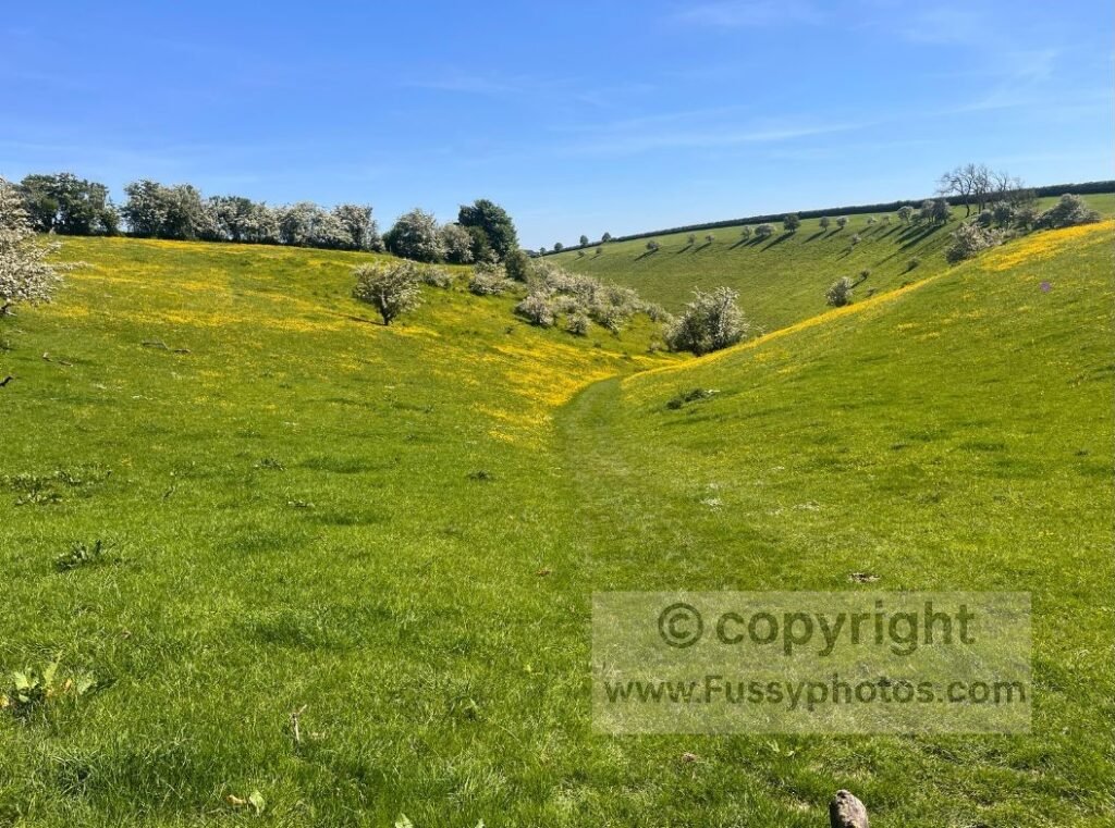
This circular walk packs in three of my Top 10 Highlights of the Yorkshire Wolds Way in just nine miles. It’s one of the best ways to experience the dry valleys this area is known for on a single day walk.
Huggate – Fridaythorpe Circular Trail Map
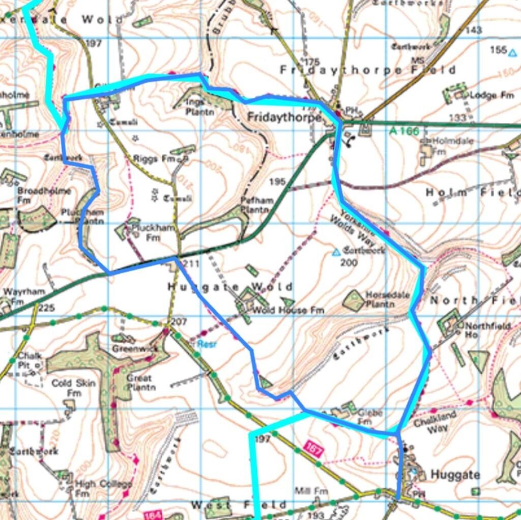
YouTube: Walk the Route with Me

Huggate to Horse Dale
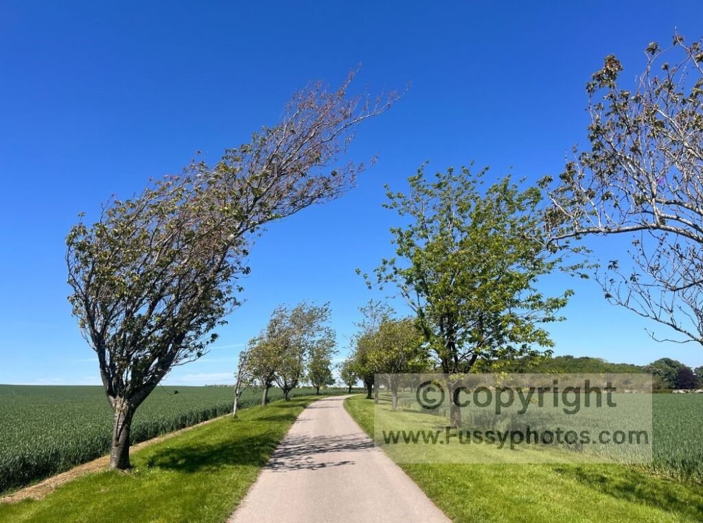
Starting in Huggate (you can just as easily begin in Fridaythorpe), head north out of the village towards the Yorkshire Wolds Way. The trail follows a single‑lane track towards a farm, passing the pretty Cow Dale and the Chalkland Way.
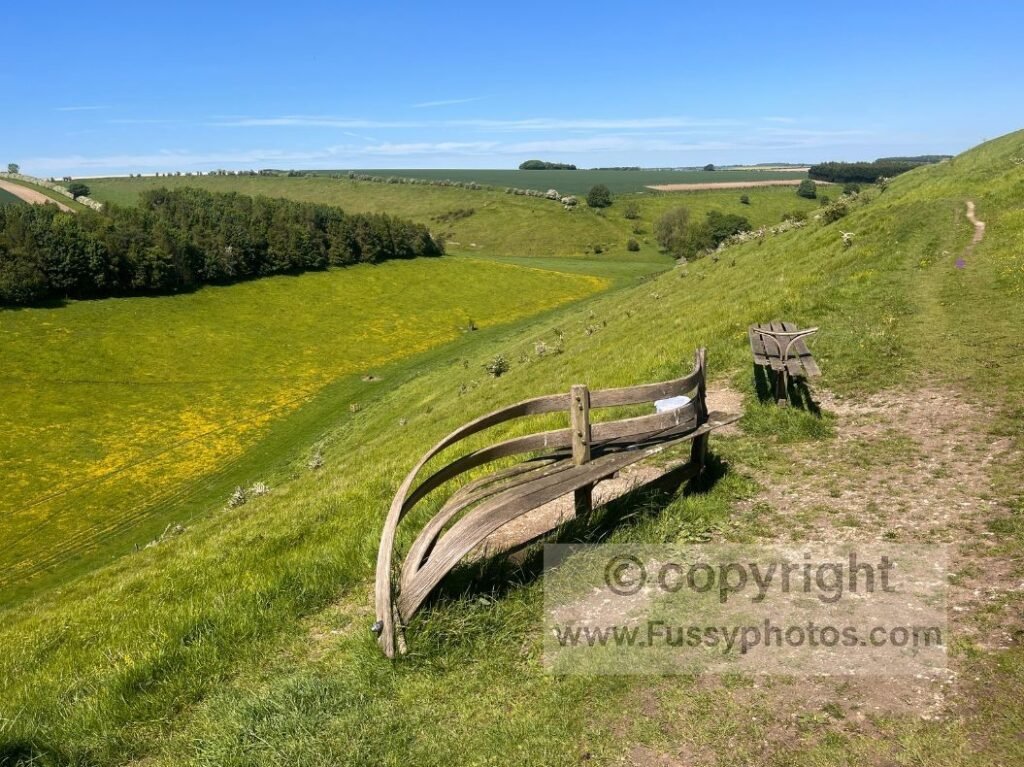
The route soon drops into the impressive Horse Dale — one of my favourite sections of the entire Wolds Way. Entering Horse Dale, you get scenic views west–east along the valley, and northwards where Holm Dale meets it. A bench here makes an ideal spot for a drink break.
The trail descends around 60 metres to a junction with Holm Dale. Take the left turn to remain on the Wolds Way, entering a second, smaller dry valley. The path climbs steadily from the valley floor to around 180 metres — a rewarding start to the circular.
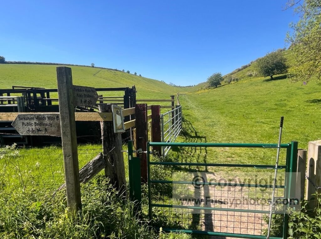
Fridaythorpe: Halfway on the Wolds Way
Leaving the valley, the trail enters the small village of Fridaythorpe. Thru‑walkers may appreciate knowing there’s a campground here, as well as a pub with accomodation — The Manor Inn. Despite walking the area repeatedly, I’d never been inside until recently; although we only stopped for a drink, I was impressed with the hospitality and décor.
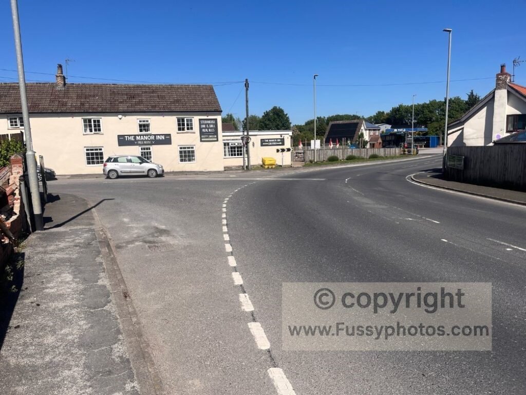
After deciding whether to stop for food or a drink, turn left at the T‑junction and leave the village, entering open farmland. You’re now passing the official halfway point of the Wolds Way, with roughly 40 miles remaining to Filey. In good weather, long‑distance views open up to the north.
Brubber Dale: A Quiet, Hidden Gem
The trail initially appears ordinary, but the subtle dip in the land ahead signals the approach to another superb dry valley — Brubber Dale. I’ve never seen another soul here, yet it’s a beautiful spot, with the valley meandering north to south.
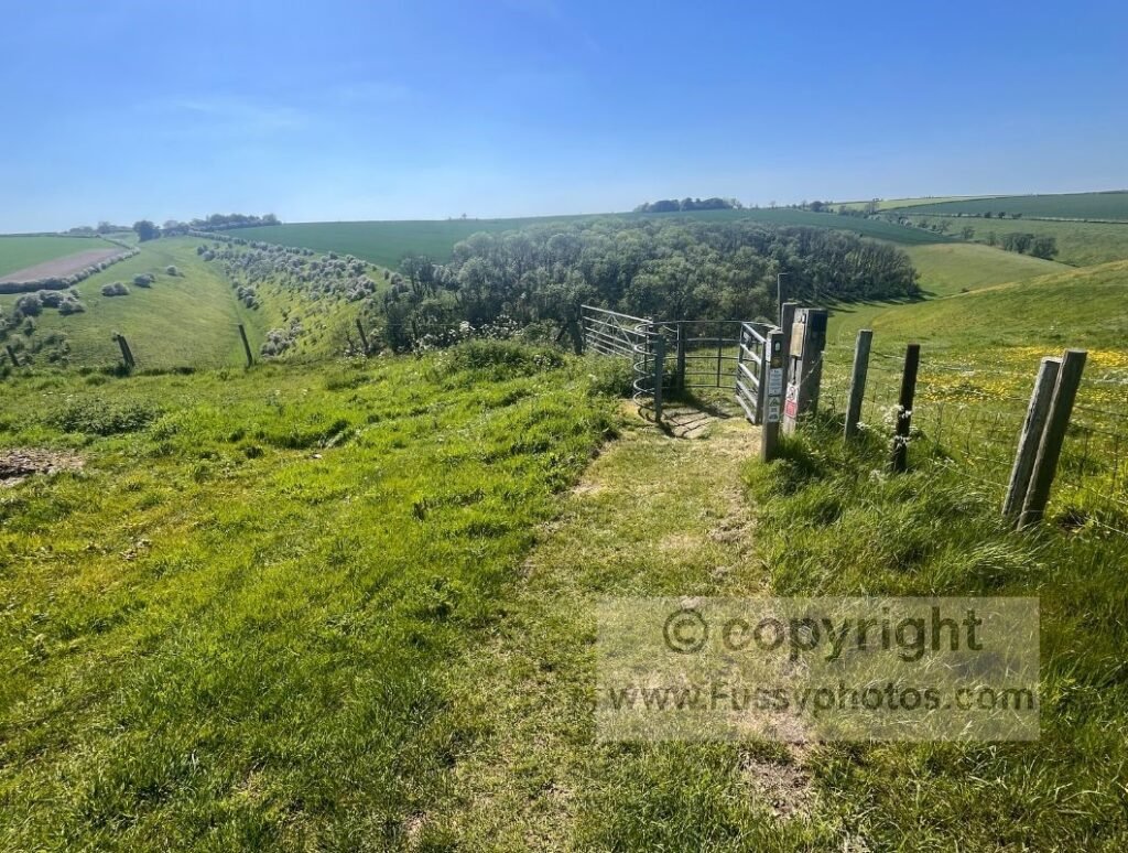
The trail gradually descends into Brubber Dale before turning left — the sign is slightly hidden under a tree. Walking the route in reverse, I’ve previously missed the turn uphill to Fridaythorpe, as it isn’t signposted from the valley bottom.
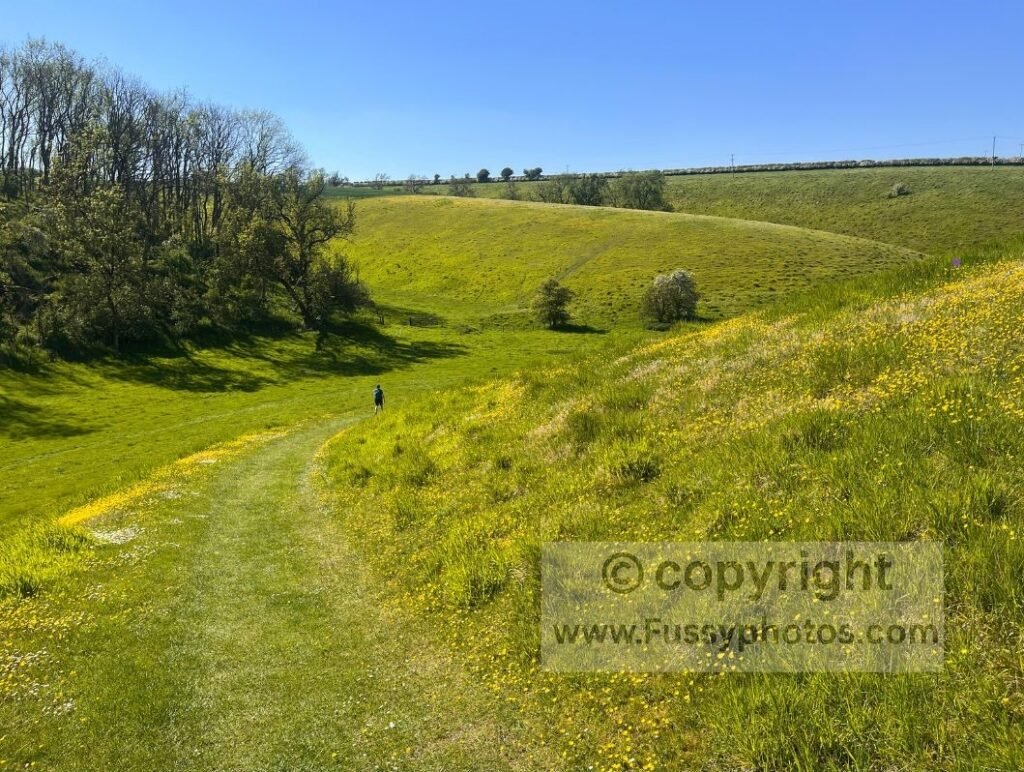
Heading west, the trail leaves Brubber Dale all too quickly, rising through a tree‑lined section onto a farm track before passing a farm and emerging at another major Wolds Way highlight — Thixen Dale.
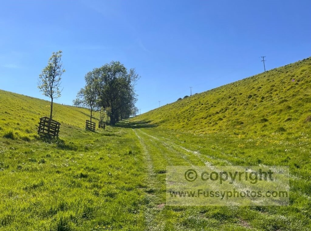
Thixen Dale: One of the Wolds’ Finest Valleys
There are signs here for the dew ponds, but the real highlight here is the long, sinuous dry valley of Thixendale, gateway to some of the most dramatic hidden valleys in the Wolds.
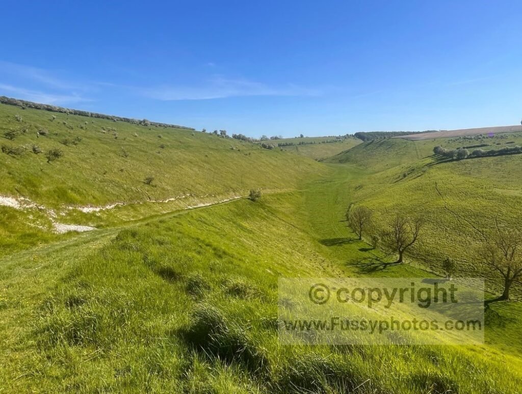
For a full 11.5‑mile route that explores Thixen Dale, Worm Dale, Open Dale, Deep Dale, Brownmoor Dale and Water Dale, see my Hidden Dry Valleys Circular.
The trail descends into the valley with continuous southward views, while the National Trail continues north along another tree‑lined dale. For this circular, continue south before taking the left of the two tributary valleys — Pluckham Dale.
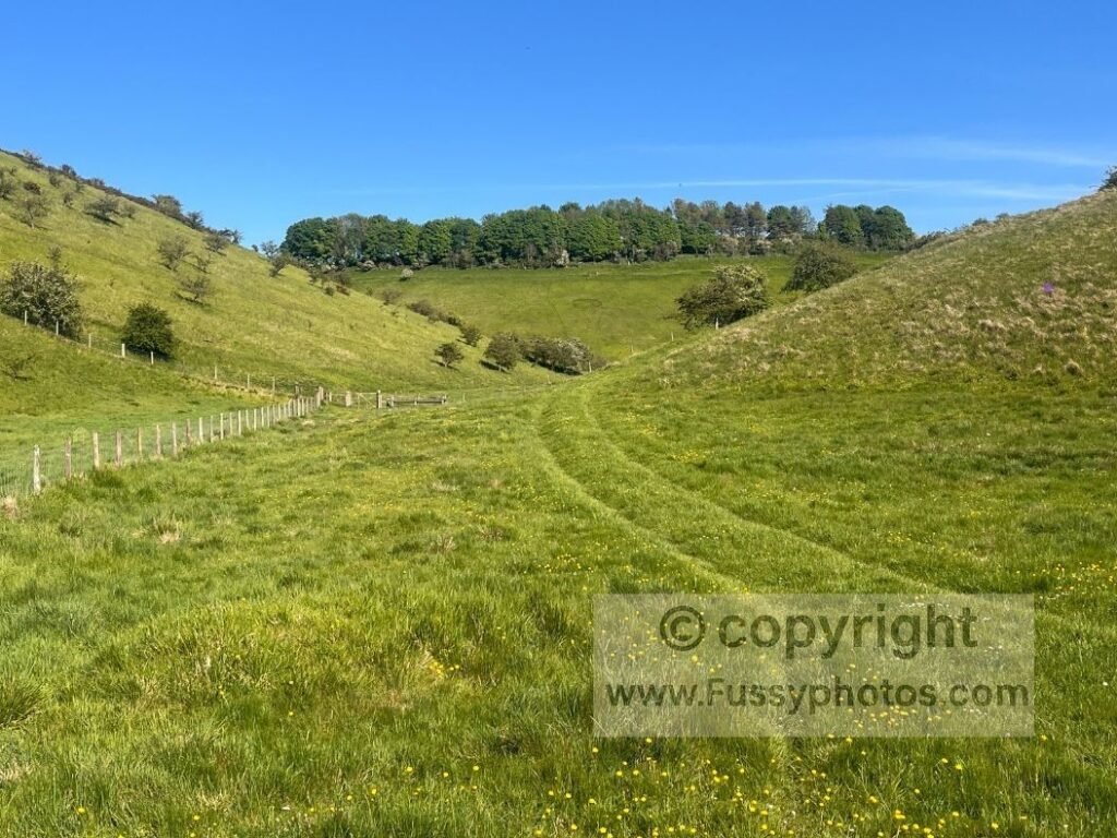
Pluckham Dale to the A166
Pluckham Dale is smaller and less dramatic than Thixendale, but still enjoyable. The trail passes through Pluckham Plantation before emerging into farmland. Here, you’ll need to find one of the gaps in the hedge to reach the A166.
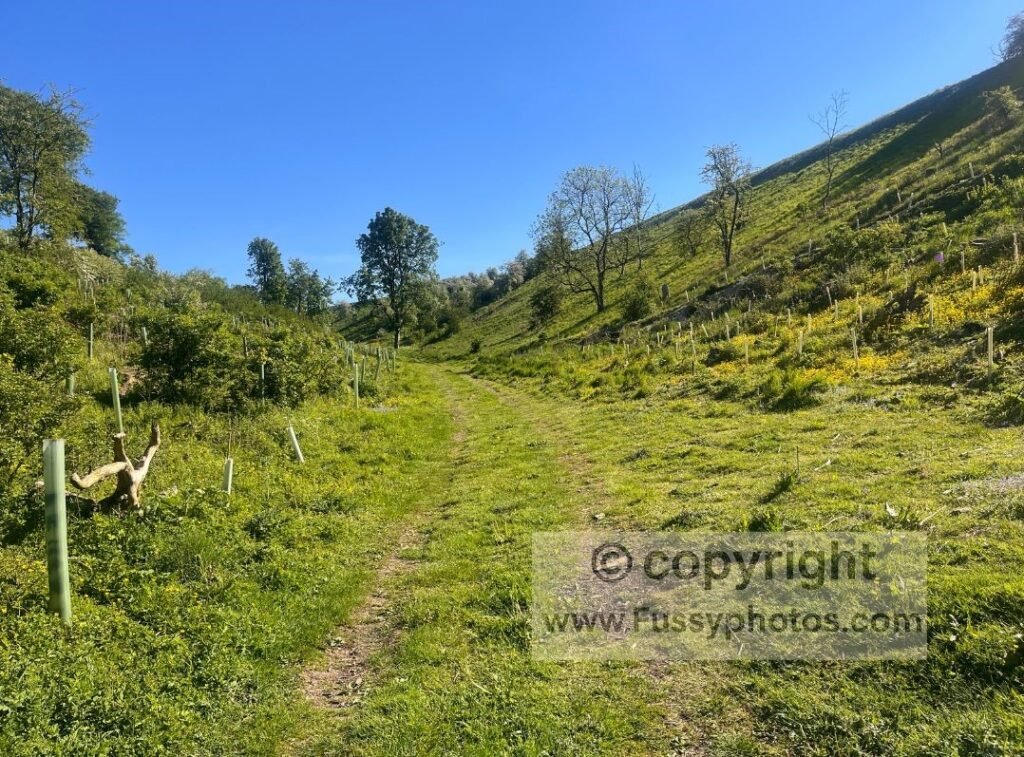
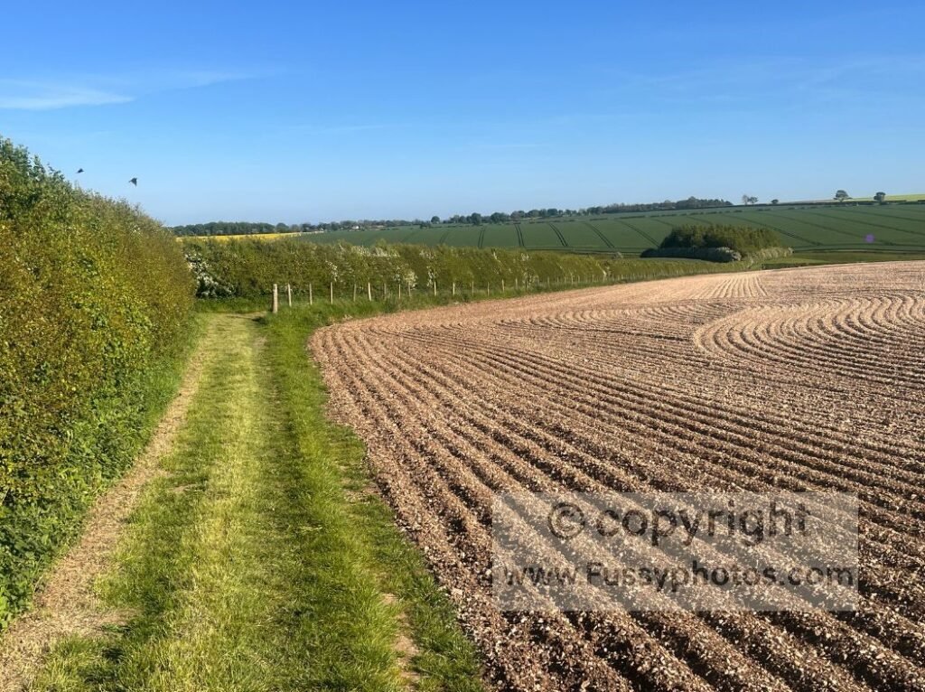
The good news: it’s only a quarter of a mile to a crossroads. Turn right (south) towards Huggate, leaving the road shortly after to follow a trail along the edge of fields for the next mile. This section follows the Chalkland Way once more, descending into the western end of Horse Dale.
Final Options Back to Huggate
From here, you have two choices:
- Quickest option: Continue south to rejoin the Wolds Way for the final mile into Huggate.
- Alternative option: Continue east along Horse Dale to eventually re‑emerge at the Horse Dale–Holm Dale junction encountered earlier. For more on this variant, see my Huggate Circular.
Return to the Wolds Way Hub
Head back to the Wolds Way Hub for stage guides, day circulars, logistics, and route‑planning essentials.