
The Yorkshire Wolds Way is one of the shortest National Trails at 79 miles, and most walkers complete it as a single point‑to‑point journey without leaving the route. However, if you prefer to walk the trail in sections, there are several practical exit points — though they become increasingly limited as you move into the remote central Wolds.
If you’re looking for answers to common questions about difficulty, highlights, navigation, scenery and seasonal conditions, my Yorkshire Wolds Way FAQs page covers everything walkers usually want to know before planning their route.
Hessle: Access to the Southern Trailhead
Hessle sits on the Hull–Selby Line, with direct connections to Hull, Brough, Selby, Doncaster and Sheffield. From Hessle Station, it’s around 10 minutes on foot to either Hessle Haven, the historic start of the Yorkshire Wolds Way, or to the modern trail sculpture beneath the Humber Bridge — a less traditional but fully accepted alternative starting point.
Filey: Access from the Northern Terminus
Filey lies on the Hull–Scarborough Line, also known as the Yorkshire Coast Line, with Northern Rail services linking the town to Scarborough, Bridlington and Hull. This makes it easy to return south or connect onwards by rail at the end of your walk.
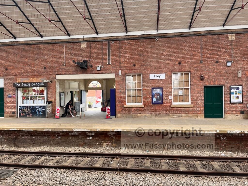
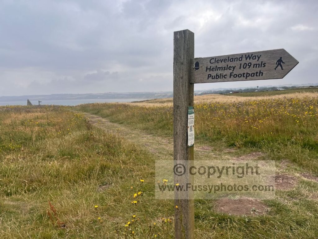
Filey is the official end of both the Yorkshire Wolds Way and the Cleveland Way, so you could continue your walk north if you wish. The Cleveland Way and the King Charles III England Coast Path run from Filey to Scarborough, giving you a straightforward 10.5‑mile coastal extension beyond the Wolds.
Scarborough Station then acts as a major coastal hub, with direct mainline services to York, Leeds, Manchester and Sheffield, alongside local trains running further up and down the coast.
Market Weighton (25 miles): Best Early Exit
Reached after roughly 25 miles from the Hessle start point, Market Weighton is the most convenient early exit from the Yorkshire Wolds Way. The X46 bus links the town with Hull, York, Beverley and Pocklington, giving walkers flexible options for returning home or restarting the trail at a later date.
Pocklington (via Millington, 33 miles)
Pocklington sits 2 miles west of Millington, reached after around 33 miles on the trail. The X46 bus also serves Pocklington, making it a reliable exit or re‑entry point for walkers splitting the trail.
Huggate (Halfway Point)
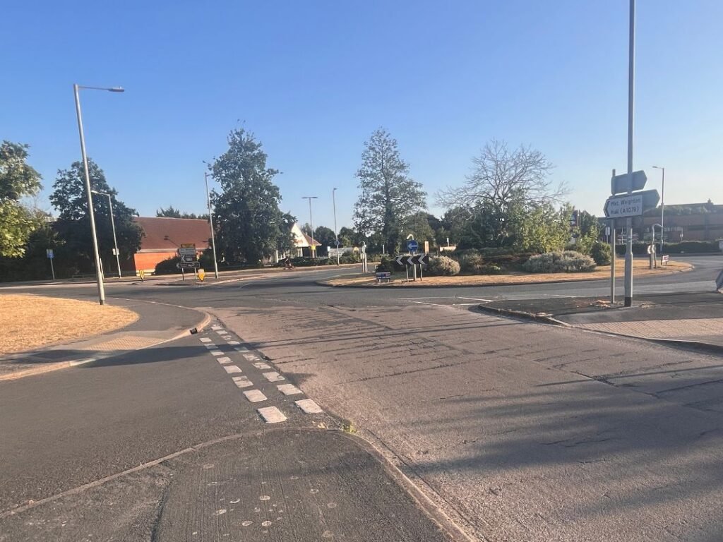
The remote central Wolds offer very few transport links, but Huggate — roughly the halfway point — is served by the Number 99 bus to Pocklington. This lets walkers leave the trail 4.5 miles east of Millington, and from Pocklington you can continue onwards on the X46 route, which connects to larger hubs including Hull, York and Beverley. Services are limited, so it’s worth checking timetables in advance.
Fridaythorpe (North of Huggate)
Fridaythorpe, just north of Huggate, has a handful of very limited bus services, making it a possible but infrequent exit point from the Yorkshire Wolds Way. The 200 (East Yorkshire) links Pocklington, Millington, Huggate, Fridaythorpe and Thixendale, but only runs three Saturday journeys in summer and two on summer Sundays and Bank Holidays.
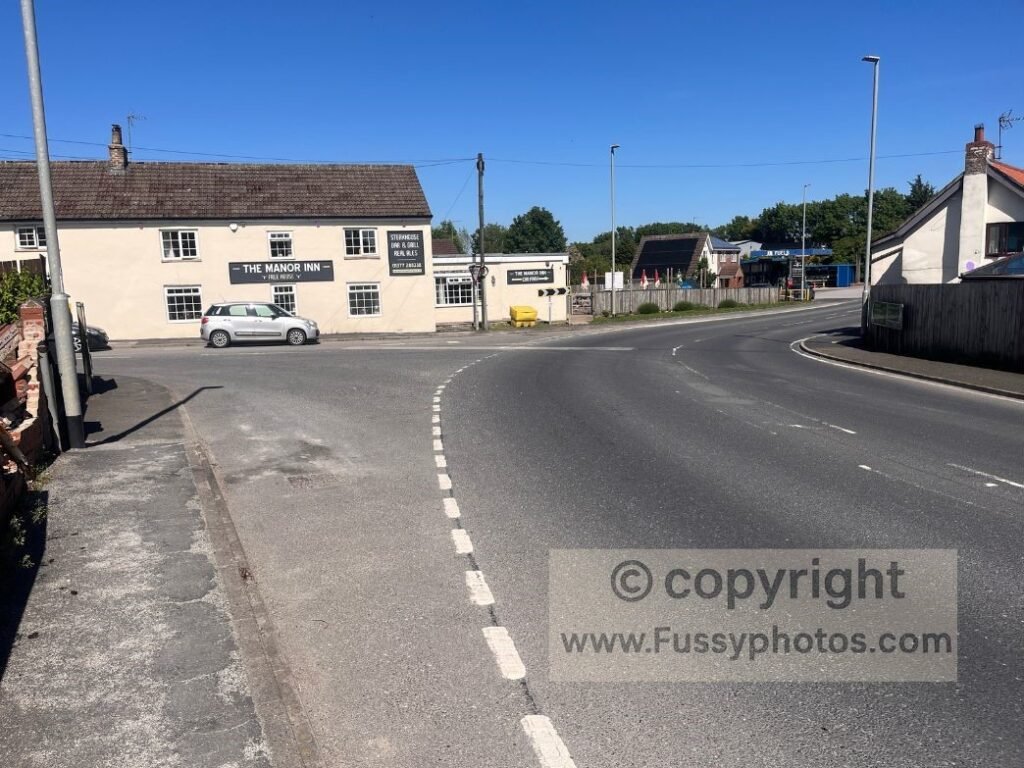
The 535 (East Hull Community Transport / East Yorkshire) connects Driffield, Wetwang, Fridaythorpe and Sledmere, operating on Tuesdays, Thursdays and Saturdays. The 594 (York Pullman) runs between Fridaythorpe, Millington and Pocklington, but only on Tuesdays. All services are sparse, seasonal, and subject to change, so timetables should be checked carefully before relying on Fridaythorpe as an exit.
North Grimston: 2‑Mile Detour with Links to Malton, Hull and Beverley
North Grimston can be reached via a 2‑mile detour off the Yorkshire Wolds Way between Thixendale and Sherburn, and offers a small number of bus services that make it a possible exit point. The most practical option is the M1 (East Yorkshire), which links North Grimston with Hull, Beverley, Driffield and Malton.
Malton Station, on the York–Scarborough Line, provides direct rail connections to York, Leeds, Manchester and Liverpool, making it the most useful onward hub for walkers. As with many services in the Wolds, timetables are limited, seasonal, and subject to change, so they should be checked carefully before relying on North Grimston as an exit.
Sherburn (17 miles from Filey)
North of the Wolds, Sherburn provides access to long‑distance bus routes:
- 840 (Leeds – York – Malton – Whitby)
- 843 (Leeds – York – Malton – Scarborough)
Sherburn is around 17 miles west of Filey, making it a useful exit if you’re walking the northern stages in shorter chunks.
Final Word
The Yorkshire Wolds Way offers several possible exit points, but planning ahead is essential as transport becomes increasingly limited in the central Wolds.
If you’re planning to walk the trail in stages, my guide to Wolds Way sections and itineraries shows how to split the 79 miles into practical 4‑, 5‑ and 6‑day schedules.
Return to the Yorkshire Wolds Way Hub
For full route guides, stage notes and planning information, head back to the main Yorkshire Wolds Way hub page.