How many miles is the Yorkshire Wolds Way?
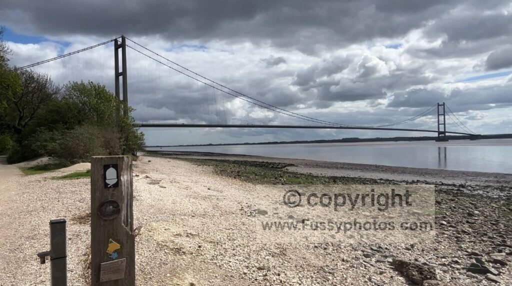
The Yorkshire Wolds Way is 79 miles long, running from the Humber Bridge to Filey.
How long does it take to walk the Yorkshire Wolds Way?
Most walkers complete the trail in 5–7 days, depending on fitness, weather and preferred daily mileage. It is possible in 4 days at a push.
If you want ready‑made 4‑, 5‑ and 6‑day schedules, see my Wolds Way itineraries.
Is the Yorkshire Wolds Way well signposted?
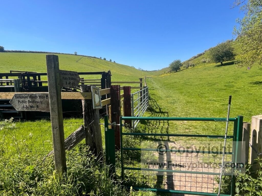
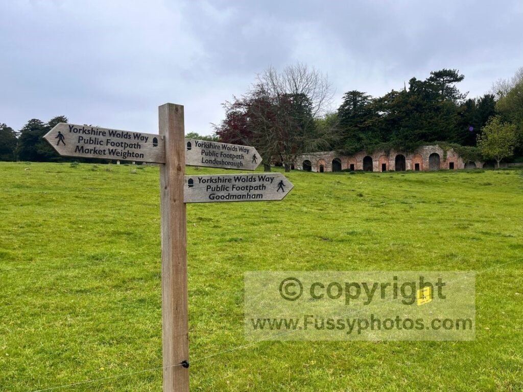
Yes — the route is marked with National Trail acorn symbols, fingerposts and clear waymarks, especially at junctions and field crossings.
Can you walk the Yorkshire Wolds Way in sections?
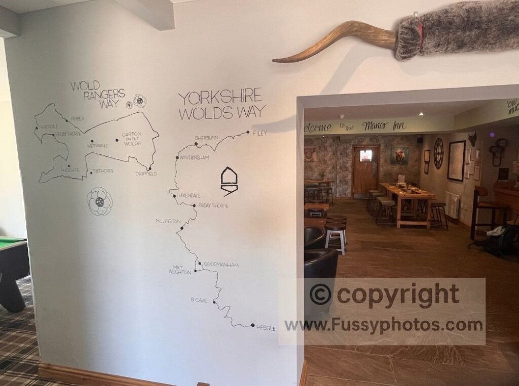
Yes — the 79‑mile Yorkshire Wolds Way breaks cleanly into 4‑, 5‑ or 6‑day itineraries, and most walkers choose one of these because accommodation is limited at places like Millington and Thixendale. Many stages can also be adapted using Pocklington, Fridaythorpe, Market Weighton or South Cave as practical overnight bases. If you prefer shorter outings, several stretches can be walked as stand‑alone day sections or linked into circular routes.
If you need practical exit points, bus links or rail access for walking the trail in shorter chunks, my Wolds Way Transport & Exit Points guide shows every place you can leave or re‑enter the route.
Is the Yorkshire Wolds Way suitable for beginners?
Yes — it’s one of the gentlest National Trails, with steady gradients and straightforward paths. If you’re planning your first multi‑day walk, the 6‑day itinerary in my sections guide is the most beginner‑friendly.
Is the Yorkshire Wolds Way hard?
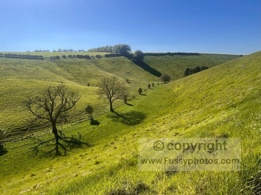
It’s considered one of the easier long‑distance trails in England, with steady gradients and mostly straightforward paths, though some dry‑valley climbs are short and steep and daily mileage can still feel demanding.
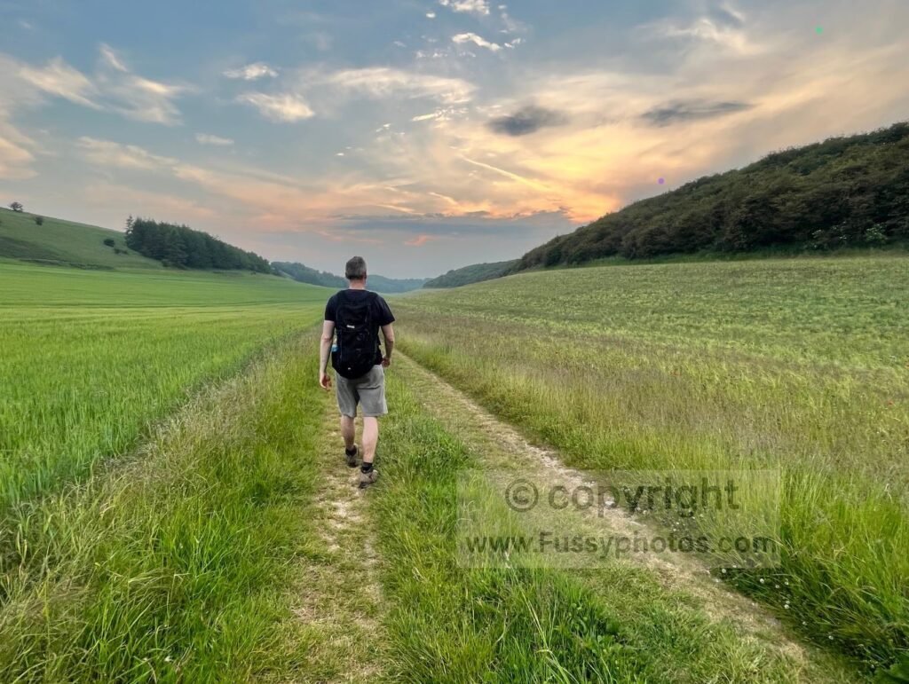
For a full breakdown of terrain, gradients, daily mileage and the hardest sections, see my guide: Is the Yorkshire Wolds Way Hard?.
Is the Yorkshire Wolds Way dog friendly?
Mostly, yes — but expect livestock, stiles, and long stretches without water, especially in summer. Leads are essential in places like Deep Dale and other dry valleys where cattle are sometimes present.
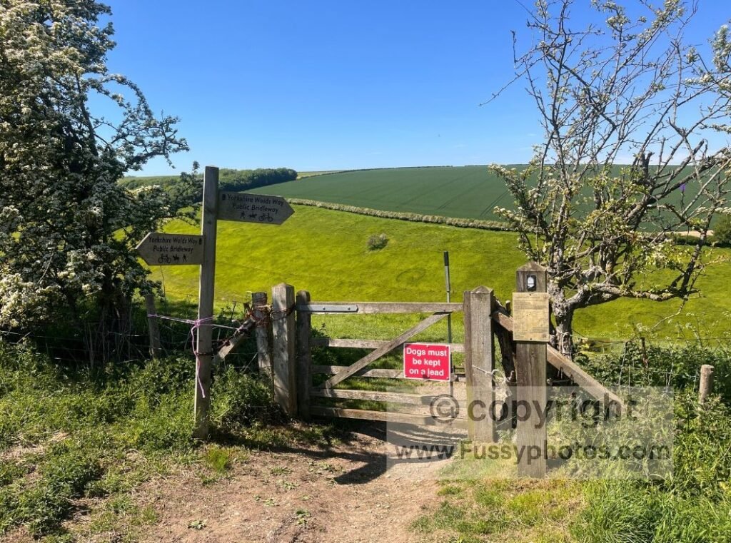
For examples of where you may encounter cattle on or near the trail, both my Wharram Percy circular and Huggate circular reference cattle in valleys such as Deep Dale and Frendal Dale.
Where does the Yorkshire Wolds Way start and finish?
The trail starts at the Humber Bridge in Hessle and finishes at Filey on the North Yorkshire coast.
What is the prettiest part of the Yorkshire Wolds Way?
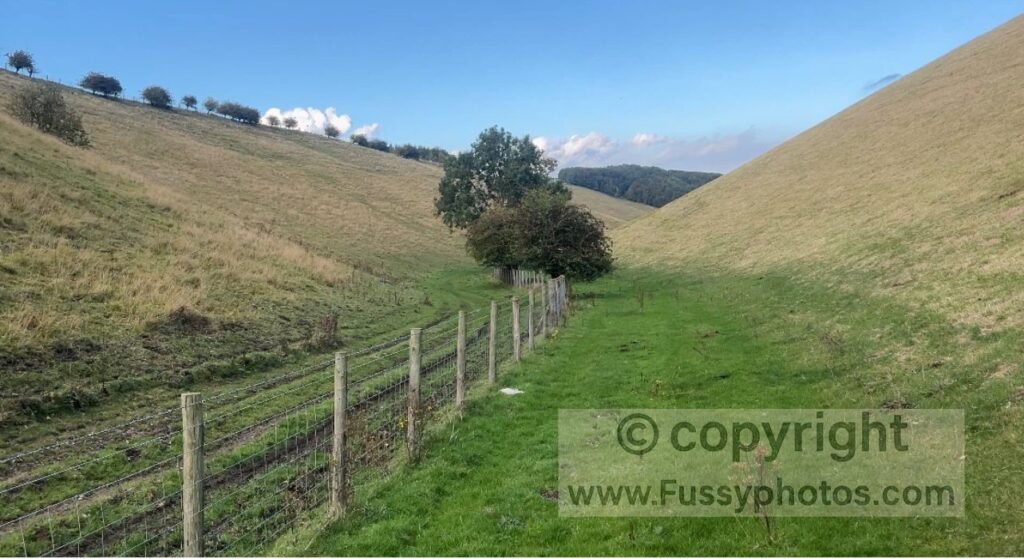
The Yorkshire Wolds Way is known for its many dry valleys, rolling chalk hills and wide open views, with scenery that changes noticeably between the southern farmland and the more dramatic northern dales.
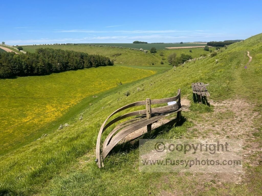
You can see how these landscapes compare in my Top 10 Highlights of the Yorkshire Wolds Way.
Can you camp along the Yorkshire Wolds Way?
Yes — camping is possible, but options are limited and unevenly spaced. Seaways Glamping & Camping in Fridaythorpe sits directly on the route and is the most convenient mid‑trail stop. Further north, West Wold Farm offers camping between Fridaythorpe and Sherburn. Because there are no other campsites on the trail, a 3‑day itinerary is unrealistic for almost everyone — you’ll need to rely on indoor accommodation or, where appropriate, (illegal) wild camping to fill the gaps.
For full itineraries and overnight options including camping, see my guide to walking the Yorkshire Wolds Way in sections.
Is wild camping allowed on the Yorkshire Wolds Way?
Wild camping is not legally permitted because the Wolds are almost entirely private farmland, though some walkers may discreetly bivvy with landowner permission.
Are there circular walks on the Yorkshire Wolds Way?
Yes — the Wolds Way passes through areas with excellent circular options, especially around Welton, Millington, Huggate, Thixendale and Wharram Percy.
You’ll find these linked throughout my Wolds Way hub.
When is the best time of year to walk the Yorkshire Wolds Way?
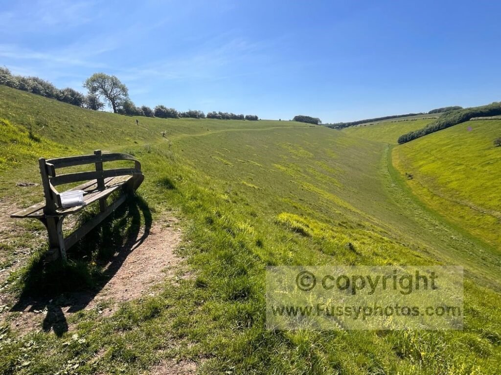
Summer offers the most reliable conditions, with long daylight, dry ground and the Wolds at their most colourful. Thanks to the fast‑draining chalk and dry‑valley terrain, the trail also stays surprisingly accessible in spring, autumn and even winter, with far less mud than upland National Trails.
How busy is the Yorkshire Wolds Way?
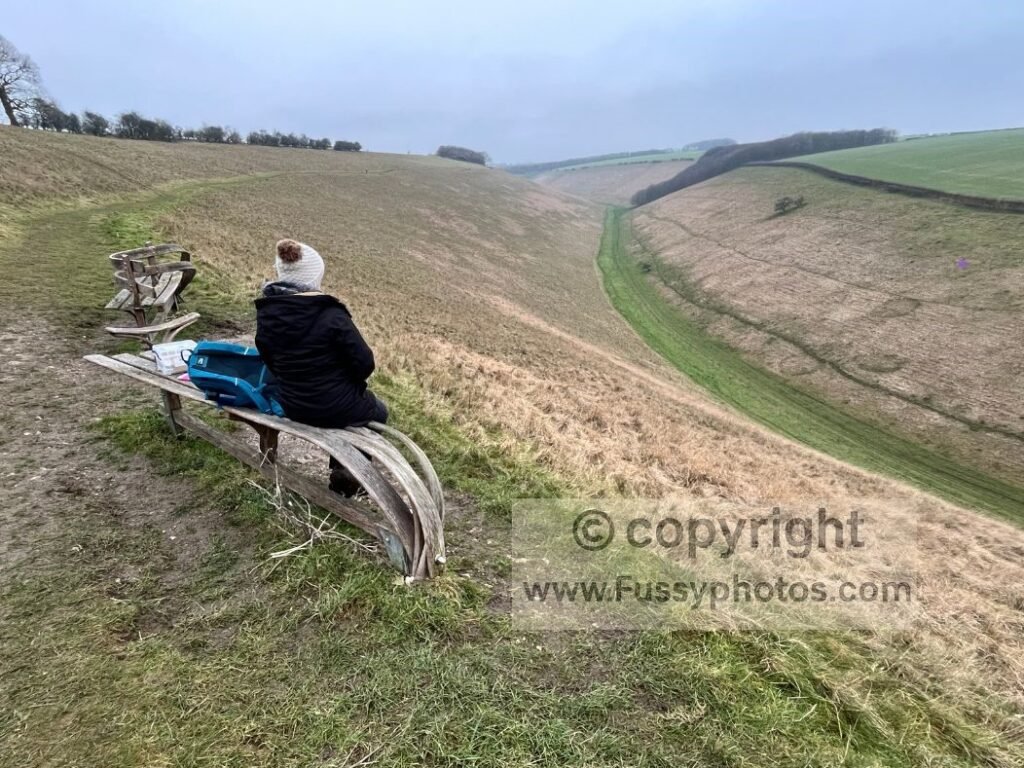
It’s one of the quietest National Trails — you may walk for hours without seeing anyone, especially in the central dry valleys and northern section of the trail. The busiest sections are around the Humber Bridge, Welton, South Cave, and Huggate, where local circulars and easy access points bring more people onto the trail.
Is the Yorkshire Wolds Way easy to navigate?
Yes — navigation is generally straightforward thanks to clear waymarking, simple valley lines and well‑defined field paths.
Return to the Yorkshire Wolds Way hub
If you’re ready to move from FAQs to planning your actual walk, the main Yorkshire Wolds Way hub pulls everything together — stages, sections, circulars, packing and logistics in one place.