The Coast to Coast route is known as much for its variety as for its length, crossing three national parks and some of the most distinctive landscapes in northern England. Alfred Wainwright wanted to create a more varied and scenic alternative to the Pennine Way. For all its reputation as a classic cross‑country walk, it’s the individual places that stay with you — the glaciated valleys around Borrowdale and Patterdale, the long run of the River Swale from Keld to Brompton‑on‑Swale, the ridge lines of the Cleveland Hills, and the open views along the North Yorkshire Coast.
If you’re planning the Coast to Coast or choosing which sections to walk, these ten highlights capture the places where the scenery opens out, the geology becomes unmistakable and those wow moments appear. Here are the Top 10 Highlights of the Coast to Coast — the moments most walkers remember long after finishing the trail.
This list runs in reverse order, counting down from #10 to #1.
Coast to Coast Highlights Video
Watch the Coast to Coast Highlights

10. Nine Standards Rigg
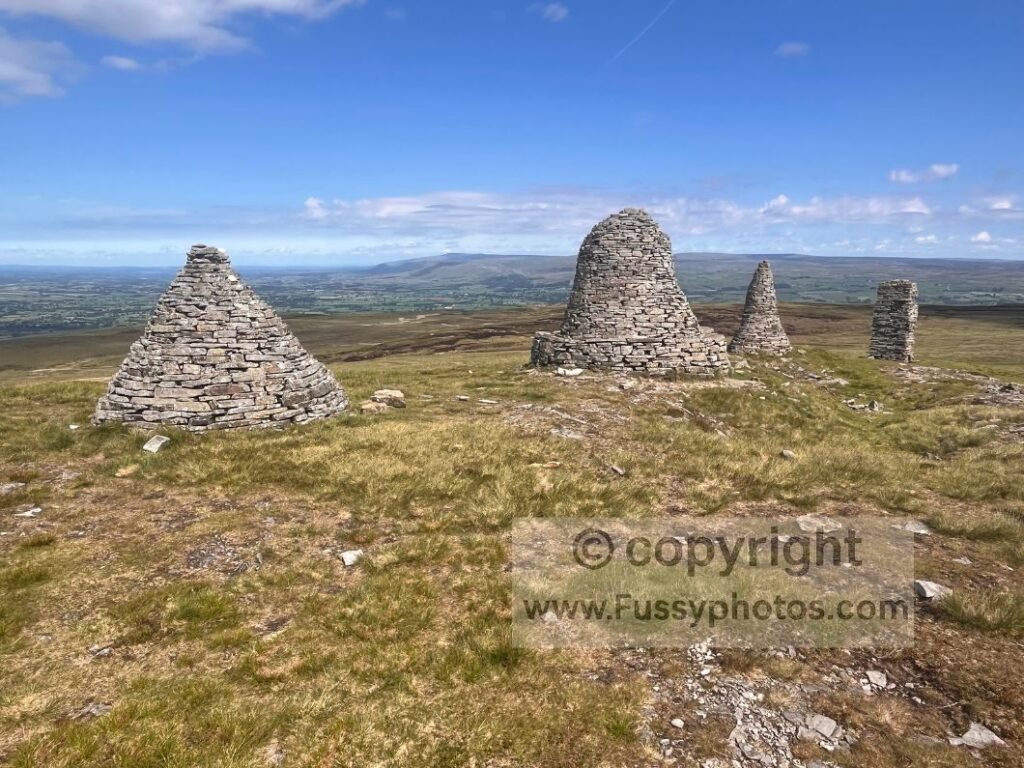
Nine Standards Rigg is one of the most famous landmarks on the trail, a row of stone towers whose original purpose has been debated for centuries. Boundary markers, waypoints, something older — nobody really knows. After the 500‑metre climb from Kirkby Stephen, one answer to the mystery becomes prominent: they were clearly built as a morale checkpoint for walkers in poor weather! Part of why I like this section so much is the east – west approach itself — the long flagstone climb over Birkdale Common, the sudden drop in terrain that opens huge north–south views, and that moment when the cairns appear exactly where they should be on the skyline. It’s one of the few places on the Coast to Coast where a view opens up in seconds.
Fortunately I reached the summit in fine conditions, and I’d argue the sweeping views north and south are even more impressive than the stones themselves — expansive panoramas across the Eden Valley, the Pennines, and the eastern Lake District from 662m above sea level.
9. The North Yorkshire Coastline
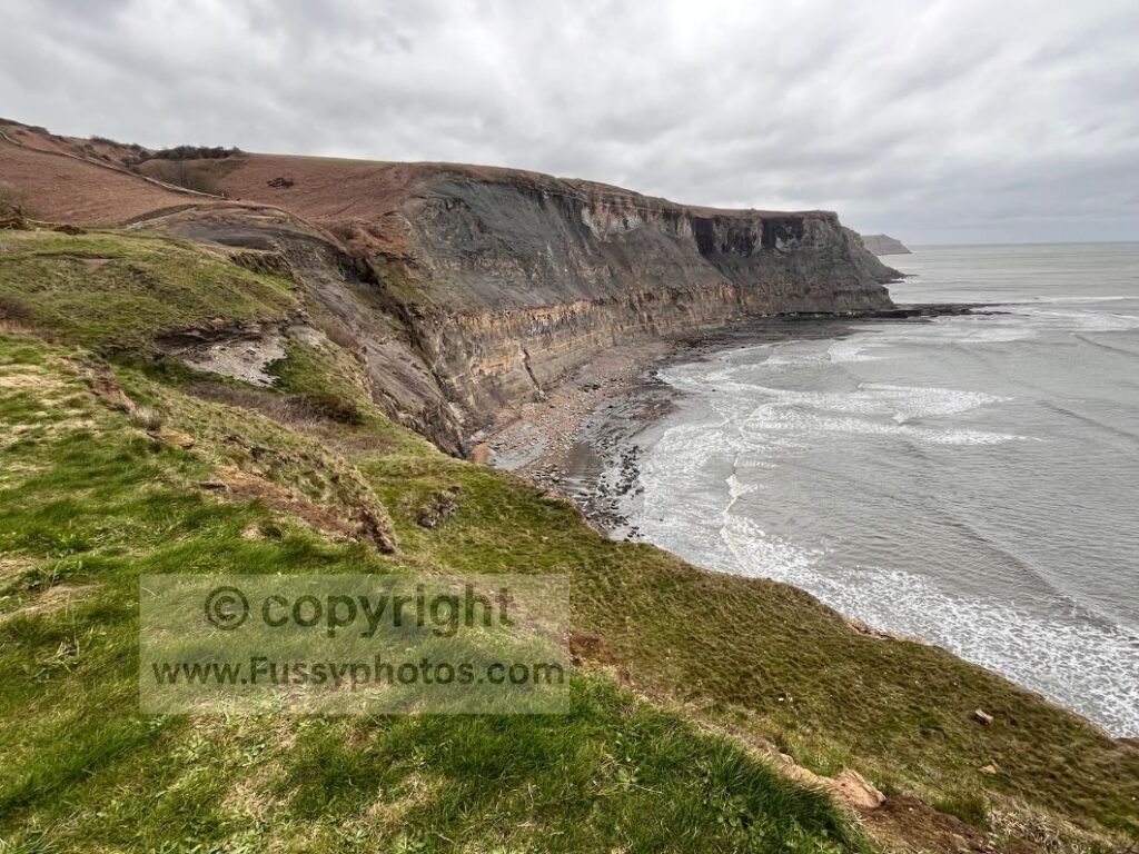
Most of the North Yorkshire coastline sits within both the North York Moors National Park and the Heritage Coast, and it’s easy to see why. The path hugs the clifftops with expansive views over the North Sea, the sound of waves rising from the shore below, and the smell of salt air carried up on the wind. Wave‑cut platforms sit beneath a series of steep, sculpted headlands, with standout moments including the hidden curve of Robin Hood’s Bay, bright broom shrubs lining the path, and the dramatic cliffs at Normanby Stye Batts.
It’s a short stretch — only around three miles — but it’s packed with variety and serves as a perfect taster of the Cleveland Way’s coastal section. For east→west walkers, it’s a final look at the sea before 150+ miles of moorland, valleys and fells. For west → east walkers, it’s the opposite — a sudden shift from moorland, woodland and the North York Moors into open clifftops, sea air and big horizons.
8. The River Swale
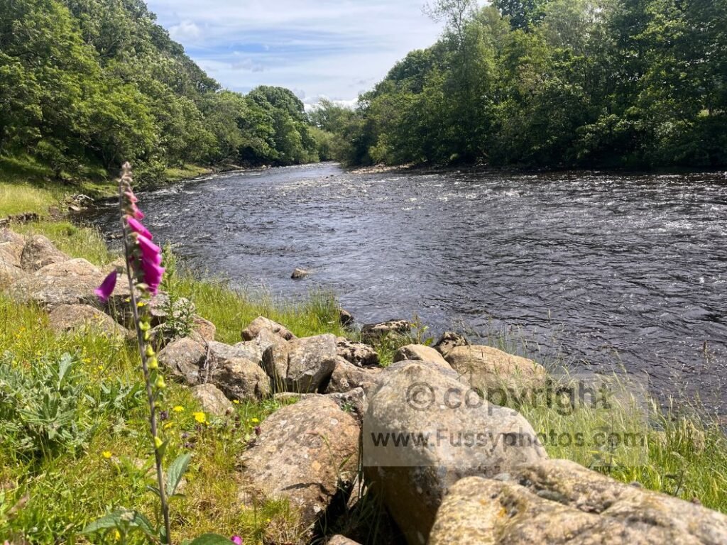
The River Swale is one of the defining features of the Coast to Coast through Swaledale — a constant presence for almost 27 miles from just west of Keld to Brompton‑on‑Swale. Even when it slips out of sight, the valley, the sound of water, and the classic Dales scenery make this one of the most memorable stretches of the entire trail. The river appears almost immediately west of Keld, framed by drystone walls, steep green slopes and old field barns — quintessential Yorkshire Dales terrain that feels timeless.
Two waterfalls add to the appeal. Kisdon Force sits just a five‑minute detour off the trail: a compact cascade dropping into a deep plunge pool and shaded gorge, perfect for a short break on a seat‑shaped rock. Back on the main route, East Gill Force lies directly on the Coast to Coast — a lively, photogenic waterfall that marks the first half‑mile out of Keld.
Walkers taking the traditional high mining route between Reeth and Keld lose the river for around ten miles, trading water for moorland, smelt‑mill ruins and steep gills. But the low alternative route offers a completely different experience: a gentle riverside walk through grassy fields, old farm ruins and wide valley views.
Large exposed rocks in the riverbed, birdsong, and the steady sound of flowing water make this section feel calm and restorative — the kind of valley walking that lingers in memory.
Further east, the river reappears near Marske and again at Richmond, where glimpses of the Swale winding through trees and farmland offer some of the best views until the Cleveland Hills.
7. Blakethwaite Mine, Gunnerside Gill and Swinner Gill
The high‑level route from Keld to Reeth is one of the most isolated but impressive sections of the Coast to Coast — a climb into old mining country with big views, steep valleys and real solitude. — a sequence of steep gills, old mining ruins and wide Swaledale views that feels wilder than anything on the low route.
The first major feature is Swinner Gill, a deep, sculpted valley with a roaring waterfall and the remains of an old mill tucked into the hillside. The trail clings to the slope above the water, giving a superb aerial view of the gorge. It’s loud, atmospheric and unexpectedly remote — a sudden burst of drama right at the start of the high route.
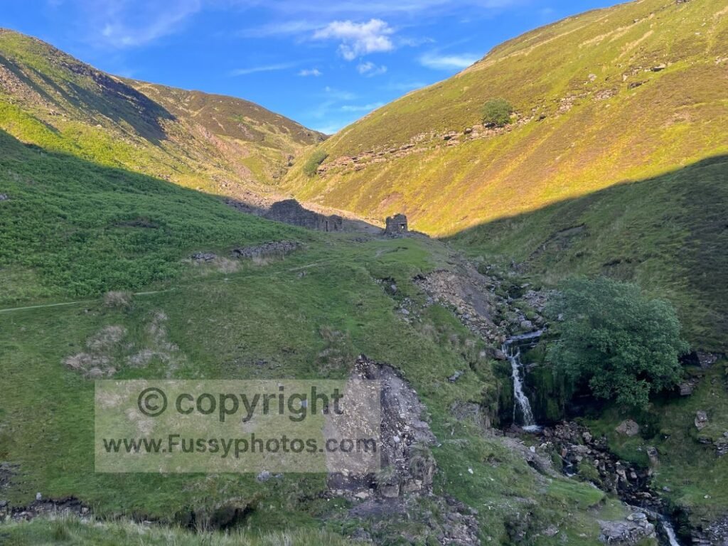
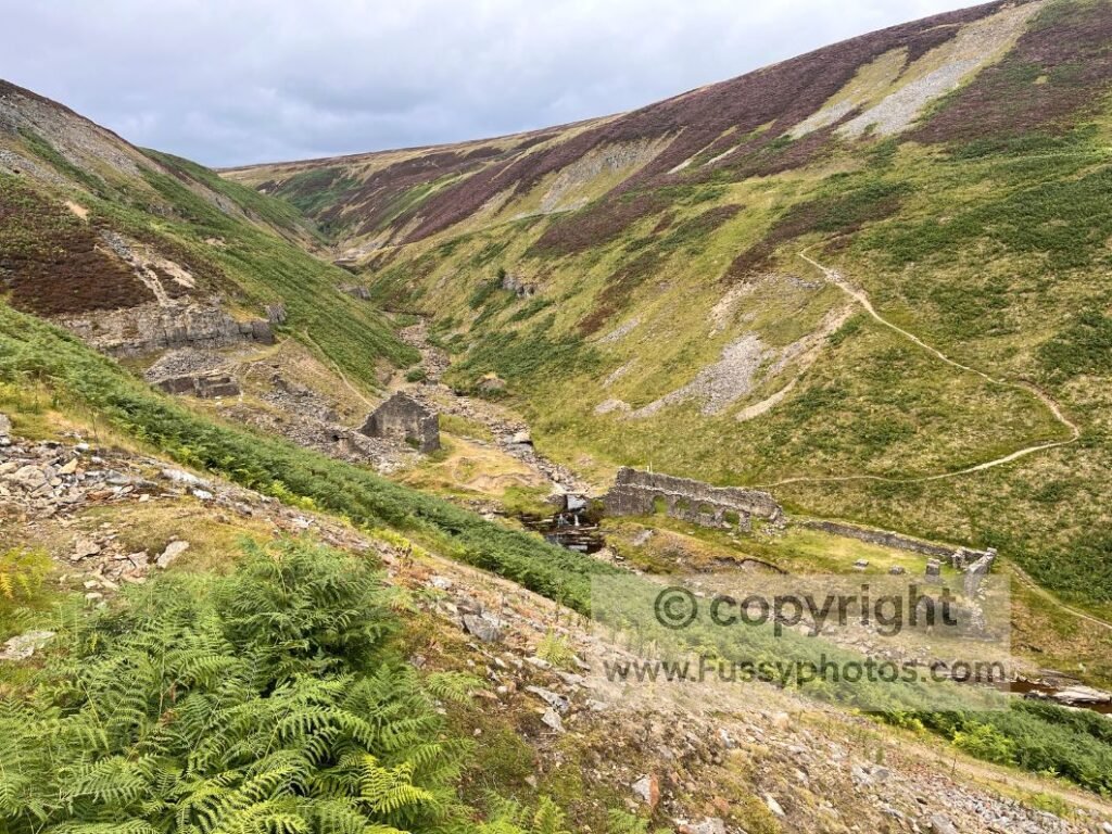
Beyond Swinner Gill, the path rises over open moorland before dropping into Gunnerside Gill, one of the most impressive valleys on the Coast to Coast. The descent is narrow and steep, leading to the old Blakethwaite Mine — atmospheric ruins scattered across the hillside beside the beck.
Climbing out of Gunnerside Gill, the trail enters the wider mining landscape around Old Gang Smelting Mills. The ruins appear gradually — stone buildings, old walls and remnants of the lead‑mining era spread across the moor. the scenery is superb: big skies, open slopes and long views down Swaledale.
Further east lies Cringley Bottom, a sharp, unexpected dip where the trail drops 40–50 metres to a small footbridge before climbing straight out again — a great place to soak your feet.
From here the path gradually widens and falls gently giving walkers their first views of Reeth ahead. After miles of moorland, ruins and gills, the village appears as a welcome splash of civilisation at the end of a rugged, rewarding traverse.
If you’d like a clearer comparison of the two Swaledale options — the dramatic high‑level mining route and the gentler riverside alternative — see Keld High‑Level vs Low‑Level Route: How to Choose.
6. Borrowdale – Grasmere
Walking west to east, the Borrowdale to Grasmere stage delivers one of the Coast to Coast’s most dramatic climbs — a full transition from a quiet valley floor into steep corrie walls, rocky scrambles, and high‑level Lake District scenery before dropping into the green bowl of Easedale and the welcoming village of Grasmere.
Leaving Borrowdale, the trail begins gently, following the beck through shaded woodland and grassy fields. It’s calm, cool, and deceptively easy — the kind of valley walking that encourages a relaxed pace before the real climb begins. Campsites at Stonethwaite and Rosthwaite often show walkers cooling off in the water, a reminder of how warm this section can feel in summer.
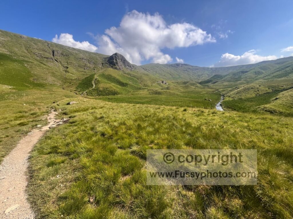
The valley soon narrows, and the walls rise sharply ahead. The climb to Lining Crag is unmistakable: a steep, rocky backwall that forces a committed ascent. It’s one of the few places on the Coast to Coast where hands are occasionally needed for balance. The reward comes quickly — cresting the slope reveals a sudden amphitheatre of glacial terrain, a bowl‑shaped valley punctuated by hummocky moraine and wide views back towards Borrowdale.
From here, the trail rises again towards Greenup Edge, a high saddle that marks the true crossing point between Borrowdale and Grasmere. The ascent is tough but atmospheric: paving stones, cairns, rocky shelves, and the unmistakable feel of Lake District high country.
The descent into Easedale is one of the best on the entire trail. The U‑shaped valley opens gradually, revealing waterfalls, green slopes, and long views towards Grasmere. The path remains rocky and slow, but the scenery is superb — a classic glacial valley that feels like a reward for the effort spent climbing out of Borrowdale.
5. The Cleveland Hills Ridge
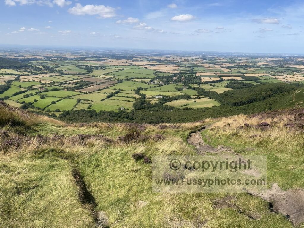
The Cleveland Hills deliver one of the Coast to Coast’s most uplifting ridge sections — so good it appears on two national trails, shared by both the Cleveland Way and the Coast to Coast. From Osmotherley to Bloworth Crossing, the route runs along a long, elevated spine of moorland, giving walkers a rare sense of height and space after the farmland miles behind.
James Herriot once called these views the finest in England, and if you time your walk for August, when the heather turns the hillsides purple, he’s not far off. It’s a glorious 12.5‑mile stretch: open ridges, big skies, and your first sight of the North Sea on the eastern horizon. Look south and you see Teesside; look west and the Vale of Mowbray spreads out in a wide green sweep.
4. Buttermere views and Honister Pass
I first saw Honister Pass on a trip to the slate mine and its via ferrata — a dramatic, unforgettable place that immediately felt like somewhere I wanted to walk properly one day. The Coast to Coast delivers that chance, Wainwright’s line running within touching distance of the mine and opening long, sweeping views down one of the Lake District’s premier valleys.
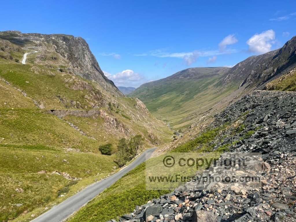
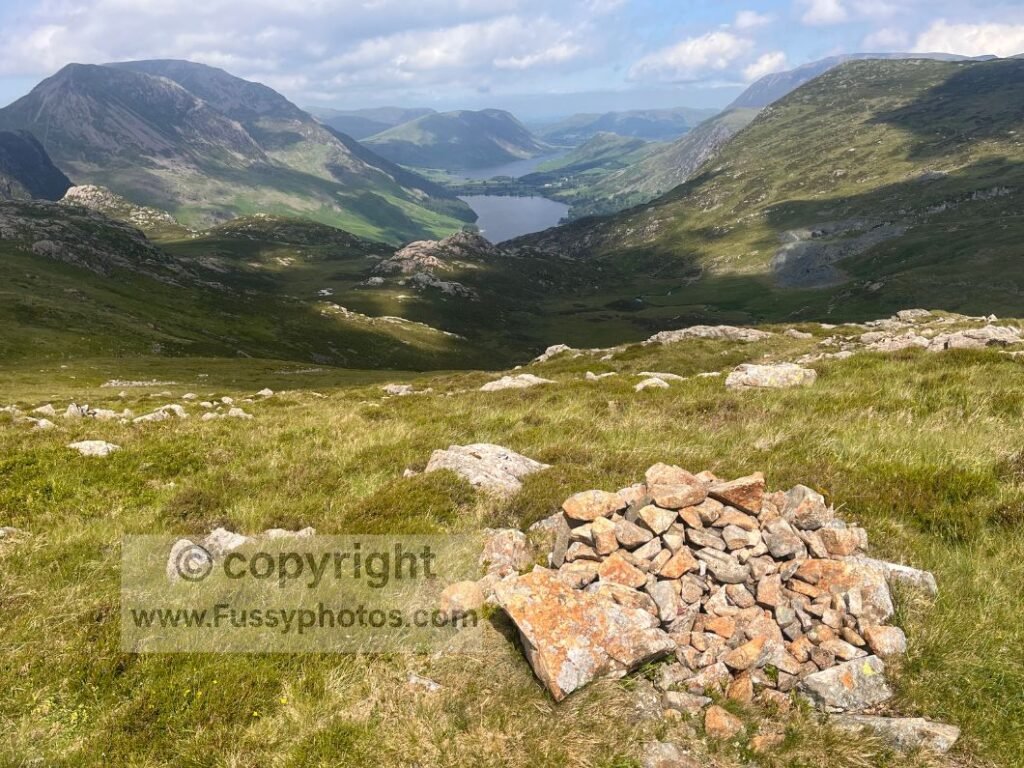
This section is preceded by a higher mountain traverse — the end of the first Lake District stage between Ennerdale Bridge and Borrowdale — and it’s easy to see why Wainwright chose this route to begin the Lake District adventure. If you have the time and energy, there’s an alternative over High Crag, but the traditional line is hard to beat, especially with its gorgeous views over Buttermere and Crummock Water. I was lucky enough to catch it all on a clear day, and it’s an area I fully intend to explore further.
3. Grisedale Tarn and Valley
Another valley I’d explored long before my Coast to Coast came from studying an OS map for a circular ascent of Helvellyn — having never been much of a fan of out‑and‑back summit walks. That route is one of the UK’s best in good weather, and fortunately the fine conditions held when I returned on the Coast to Coast.
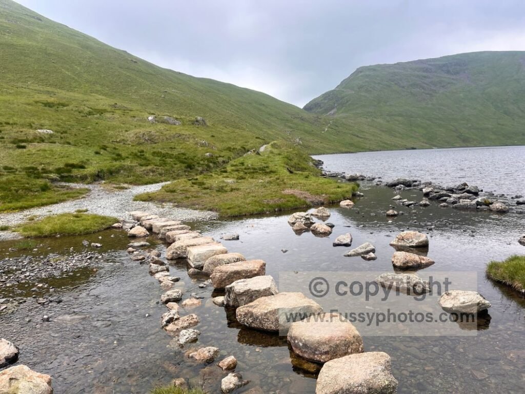
Walking west to east, the trail rises for a second time on one of its harder days, climbing towards Grisedale Tarn, a high‑altitude glacial lake at 538 metres. It’s reached via a classic mountain pass: a broad U‑shaped valley that dwarfs Tongue Gill, the noisy, attractive stream that accompanies you from bottom to top. The climb feels purposeful and sustained, the valley walls rising cleanly on either side as the sound of the gill echoes through the corrie.
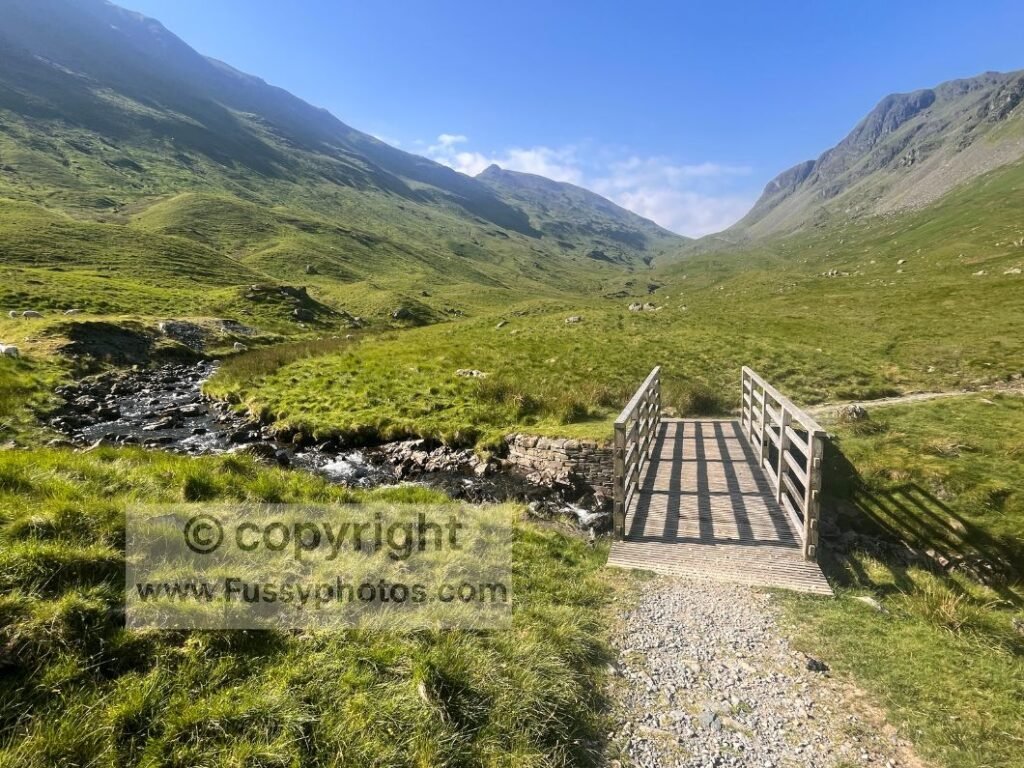
Grisedale Tarn itself is impressive — cold and blustery in poor weather, a welcome relief from the heat in summer. The optional detour to Helvellyn is a serious undertaking, but even without it, the tarn makes a superb natural pause point. It’s the kind of place where walkers instinctively stop, catch their breath, and take in the scale of the surrounding peaks before beginning the long descent through Grisedale Valley into Patterdale.
A high pass, a glacial lake, and a valley that feels carved for walkers — it’s one of the most atmospheric transitions on the entire trail.
2. Ennerdale Water and Ennerdale Valley
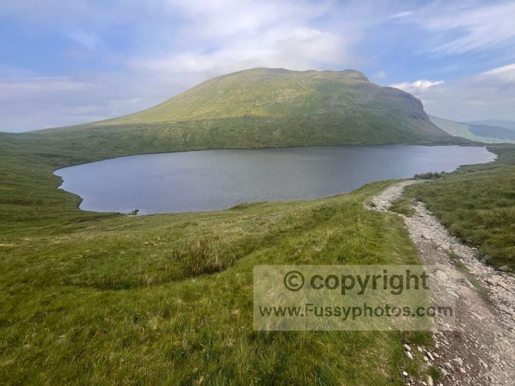
The first taste of Lake District scenery on the traditional west‑to‑east route is a big one. Like much of the C2C through this region, you get a choice of lines: the faster, flatter northern traverse along the shoreline on a gravel road, or the slower, rockier, undulating southern path via Robin Hood’s Chair. For height, drama and a straight‑line view down Ennerdale Valley, the higher southern route is the clear winner.
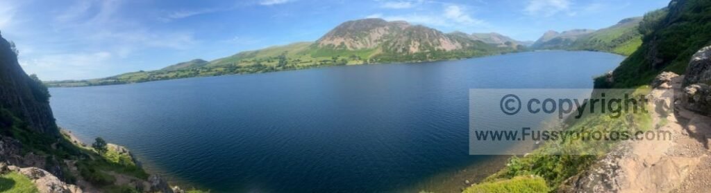
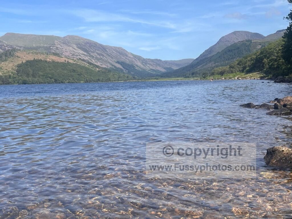
Gentle waves from Ennerdale Water lap against rocks and small pocket beaches, and the trail rises just enough to give superb panoramic views without ever feeling overly exertive. It’s a perfect introduction to the Lake District.
Beyond the lake, the long gravel road on the eastern side of the valley can feel a little monotonous, but it has its own character: intermittent river views, dense forestry and a sense of being deep inside one of the quietest valleys in the district. East of Black Sail Hut, the valley begins to rise again, setting up the climb towards Honister Pass and the first true mountain terrain of the Coast to Coast.
1. Angle Tarn, Kidsty Pike and Haweswater
Apparently this is the stage that makes some walkers give up on the Coast to Coast — but for me, it was anything but. Walking east–west instead of the traditional direction, it became my first real taste of Lake District scenery and the moment I understood the hype. Since most walkers go west–east, I’ve described it in that direction.
From Patterdale, a scenic country lane leads straight into a steeper, rockier mountain trail. It’s a committed climb — steep, relentless — but the views open quickly, rising above Dovedale and Deepdale, classic Lake District corries with tight mountain walls and Brothers Water framed below.
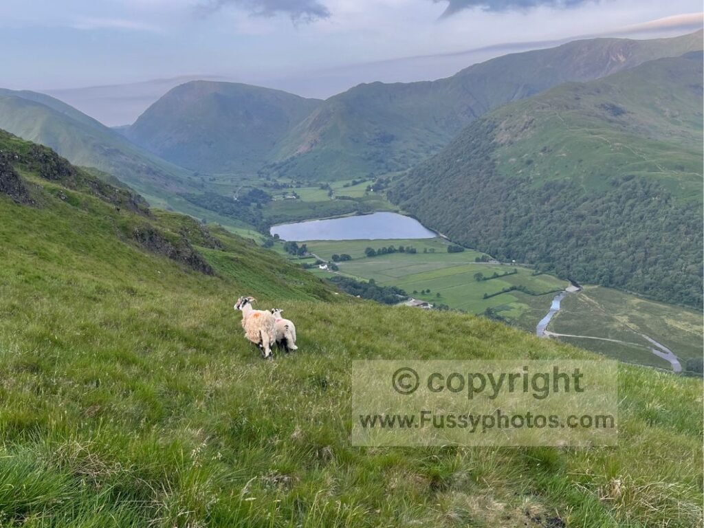
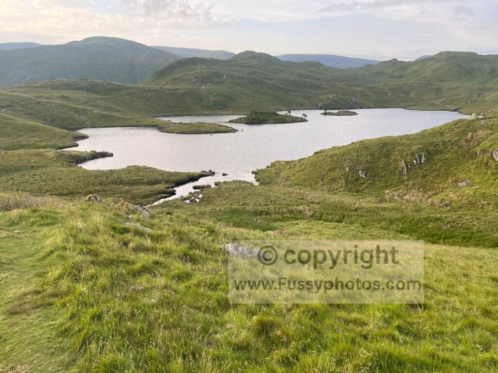
Peaks and valleys appear from every angle, each one a tempting day walk, but staying on the Coast to Coast brings you to Angle Tarn, one of the most atmospheric high‑altitude lakes on the route. Blustery, remote and starkly beautiful, it’s arguably more scenic than Grisedale Tarn, with a gorgeous traverse along its southern edge and rising views over Hayeswater.
Solitude adds a touch of navigational challenge here, but the reward is the approach to High Street — a broad summit ridge once crossed by a Roman road. At 740 metres, it marks the run‑in to the highest point on the Coast to Coast: Kidsty Pike, 780 metres, a sharp, dramatic perch with a straight‑line view down Riggindale. From here, the trail drops hard towards Haweswater, a descent that’s tough on the knees to descend or the lungs to ascend, but worth every step.
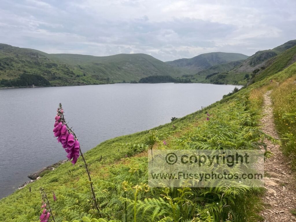
From the foothills above Speaking Crag, the trail begins a dramatic traverse along the steep valley edge above Haweswater. The western end of the reservoir is spectacular, and the high path delivers a steady run of superb lake‑level views. It threads past a standout viewpoint and The Forces waterfalls as the water gradually narrows, giving the whole section an elevated, cinematic feel. Eventually the trail slips into dense conifers, a natural ending to a superb stretch and arguably one of the Coast to Coast’s finest moments as you leave the Lake District behind.
If you’d like to compare these Coast to Coast highlights with the Pennine Way’s most memorable moments, you’ll find them in Top 10 Highlights of the Pennine Way (Ranked). And if these highlights have you thinking about your own Coast to Coast journey — whether a full thru‑walk or a shorter section — you’ll find a complete breakdown of how to shape the walk around your time, fitness and walking style in How to Plan Your Best Coast to Coast Walk.
Plan Your Coast to Coast Walk
If you’re shaping your own itinerary — whether a thru‑walk or a flexible section walk — the hub page gathers every planning guide, highlight list and stage report.