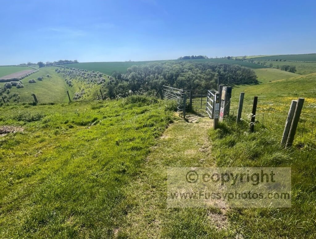
The Yorkshire Wolds Way is one of the easiest National Trails in the UK. At just 79 miles, with gentle gradients, firm chalk underfoot and no mountain terrain, it’s a relaxed long‑distance walk for most people. The main challenges are logistics, exposure, and long gaps between settlements north of Pocklington.
Yorkshire Wolds Way Difficulty at a Glance
- Terrain — rolling chalk hills, dry valleys, farmland
- Elevation — gentle gradients, short climbs, highest point 213m
- Navigation — well‑waymarked but a map/GPS still recommended
- Daily Distances — 13–23 miles depending on itinerary
- Weather Exposure — open hilltops, little shade, windy in winter
- Accommodation Gaps — none between Hessle–Pocklington; limited north of Millington
- Underfoot Conditions — firm chalk, fast‑draining, minimal mud
- Remoteness — rural but not wild; long stretches without services
Overview of the Yorkshire Wolds Way
The Yorkshire Wolds Way is the shortest official National Trail in the UK, running for just 79 miles from Hessle to Filey Brigg. It crosses rolling chalk hills and impressive dry valleys, but there are no mountains and very little upland terrain. The highest point on the trail is only 213m, reached after a sharp ascent out of Thixendale — enough to leave you breathless, but nowhere near the cumulative strain of more rugged National Trails.
For a full narrative of the route with photos, maps and day‑by‑day notes, my Yorkshire Wolds Way Trip Report gives a complete account of walking all 79 miles.
Terrain and Walking Conditions
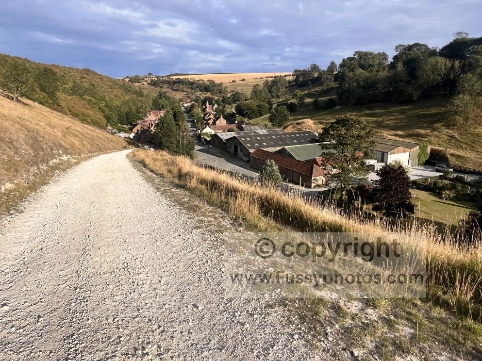
With firm chalk underfoot, well‑drained dry valleys and generally gentle gradients, the Yorkshire Wolds Way offers relatively easy walking compared to boggier, rockier or more remote UK trails. Progress is usually quick, especially in dry weather.
Summers are cool, winters are temperate, and the trail is walkable for much of the year. Summer brings the most vivid farmland colours and the best wildflower displays.
Navigation and Waymarking
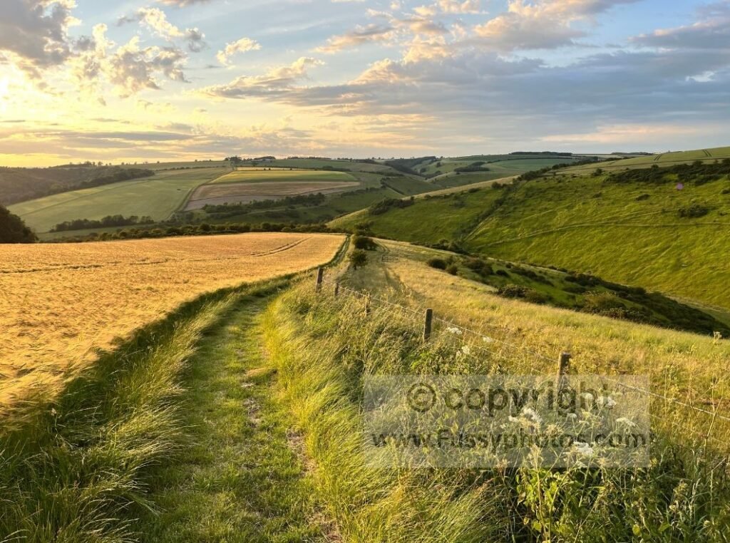
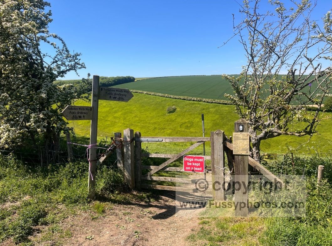
Navigation is straightforward thanks to clear waymarking, but a map is still essential and a GPS recommended — it’s possible to drift off the trail on farmland sections. Visibility is good across most of the route, and junctions are usually well signed.
Logistics and Accommodation Challenges
The main challenge on the Yorkshire Wolds Way is logistics. Once you pass the market towns and villages of the south‑west, settlements become sparse. There is no accommodation in Millington or Thixendale, and campsites are limited, meaning the official 6‑day itinerary includes two stage endings where you cannot stay the night.
Transport and Accessibility
The trail is short enough for most walkers to complete in a single attempt. Hessle and Filey both have train stations, and Market Weighton and Pocklington (just west of Millington) have good bus links if you need to leave the trail early.
For a full breakdown of every practical exit point — including bus links, rail access and the limited transport options in the central Wolds — see my Wolds Way Transport & Exit Points guide.
Is This the Right Trail for You?
If you’re new to long‑distance walking, the Yorkshire Wolds Way is an excellent confidence‑builder. If you’re already experienced, it’s a scenic, relaxed trail without the hardship associated with more remote National Trails.
For answers to common questions about highlights, navigation, scenery, camping, signage and seasonal conditions, my Yorkshire Wolds Way FAQs page brings everything together in one place.
How the Terrain Affects Difficulty
Rolling Chalk Hills
The Yorkshire Wolds are defined by gentle, rounded chalk hills. Climbs are short and rarely steep, and descents are smooth underfoot. This makes the trail accessible to most walkers and allows for steady progress even on longer days.
Dry Valleys (Dales)
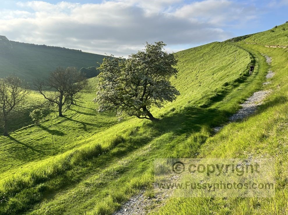
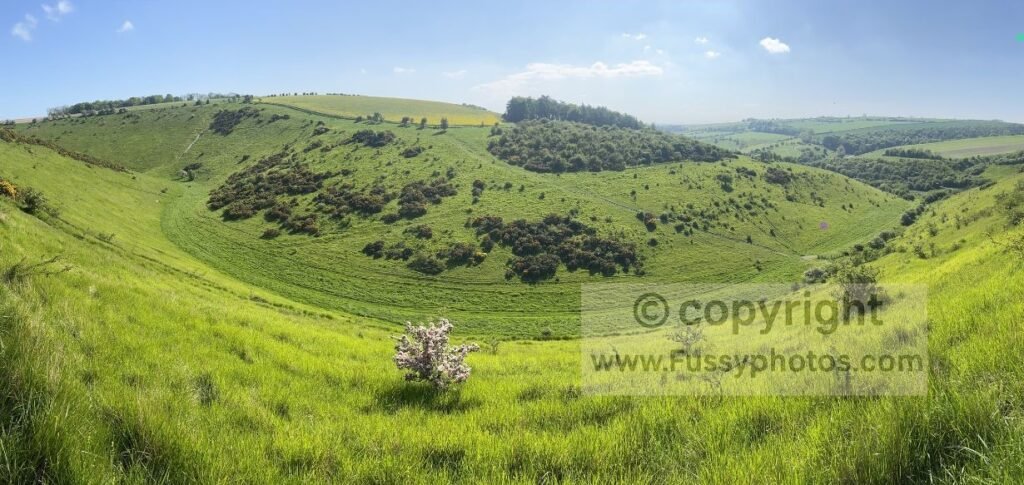
The dry valleys — such as Swin Dale and Thixen Dale — are the scenic heart of the trail. Their grassy floors and firm chalk paths make for easy walking, and gradients are usually mild. These valleys drain quickly, meaning far less mud than on peat‑based upland trails.
For a clear, beginner‑friendly explanation of how these dry valleys formed, see my Yorkshire Wolds Dry Valleys Guide.
Farmland and Bridleways
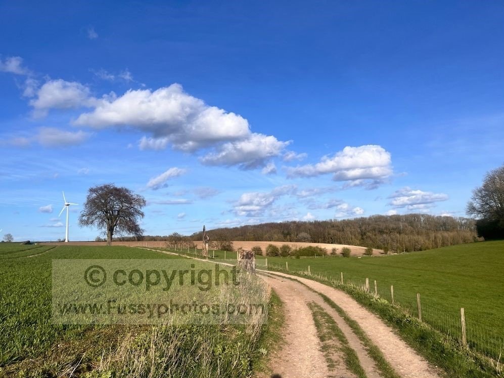
Large sections of the trail cross open farmland and wide bridleways. These are straightforward to follow, though waymarking can occasionally be spaced out. After rain, some fields can become muddy, but conditions are generally far better than on moorland trails.
Stage‑by‑Stage Difficulty Overview
The following notes assume a 6‑day itinerary. If you complete the trail in fewer days, the difficulty naturally increases due to longer daily distances.
Hessle → South Cave
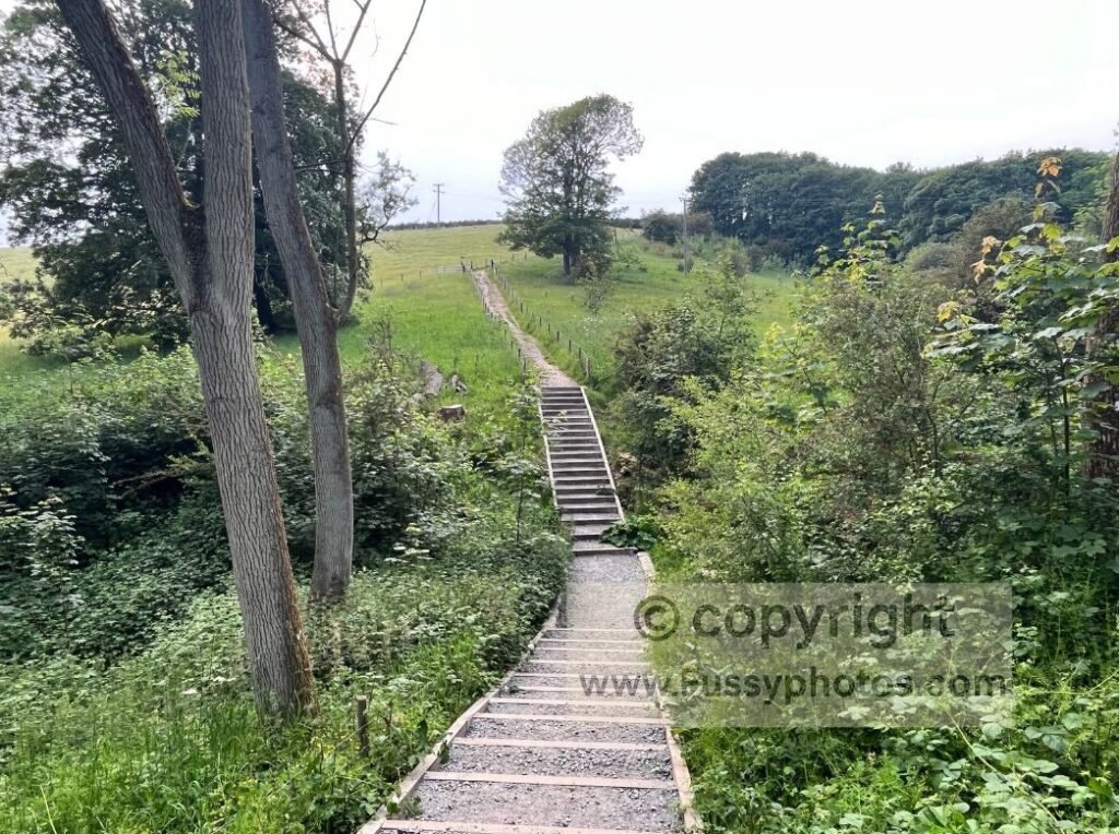
Leaving Hessle, the trail is initially flat, following the River Humber for around three miles before a gradual ascent to 119m via North Ferriby and Welton. North of Welton Dale, the terrain opens up, bringing more wind exposure but still offering relatively easy miles. From Brantingham, there’s a short ascent towards South Cave, ending a straightforward and gentle opening stage.
South Cave → Market Weighton/Goodmanham
Leaving South Cave, there’s a gentle ascent past the vineyards before woodland walking through East Dale. Exiting the woodland, a short, sharp climb leads to easier miles towards North Newbald and South Newbald, followed by a further ascent to around 140m before descending either to Goodmanham or along the flat former railway line into Market Weighton.
Market Weighton/Goodmanham → Millington
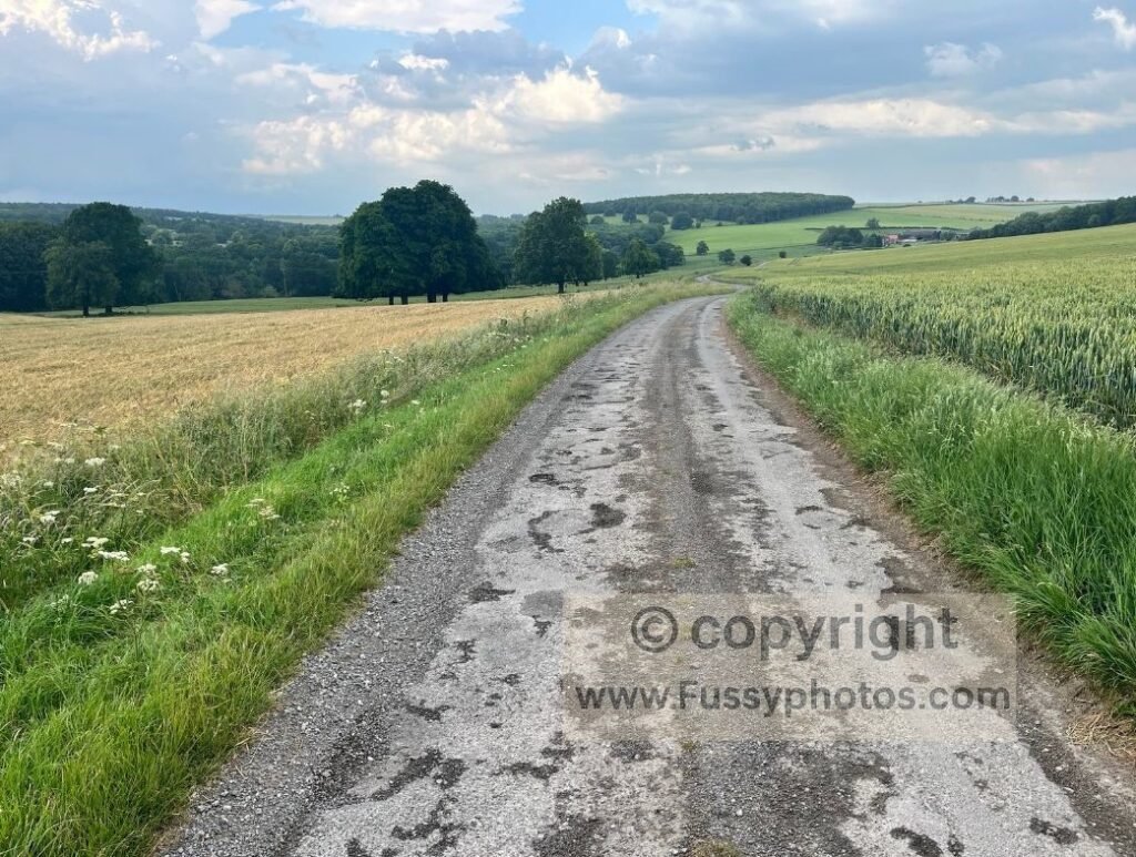
The terrain is very flat from Market Weighton, continuing past the Londesborough Estate. A descent towards Nunburnholme can be slippery in muddy conditions, followed by gently rolling terrain towards Pocklington. If you continue to Millington, there’s a final descent into the valley to end the day.
Millington → Thixendale
From Millington, the trail climbs to the top of the dale via the Minster Way. It’s as steep as anything on the Wolds, but it’s short and rarely takes more than 30 minutes. After crossing Nettle Dale, there’s another steep ascent from south to north. The miles towards Huggate are easy, followed by a long but relatively gentle climb to Fridaythorpe. With more dry valleys to come, expect a little more up‑and‑down before a flat finish into Thixendale.
Thixendale → Sherburn
This is a longer day with more dry valleys and the highest point on the Yorkshire Wolds Way. There’s steady up‑and‑down walking with excellent views throughout. North of Wharram‑le‑Street, the trail climbs again before a short but steep descent from South Wold Plantation into Wintringham.
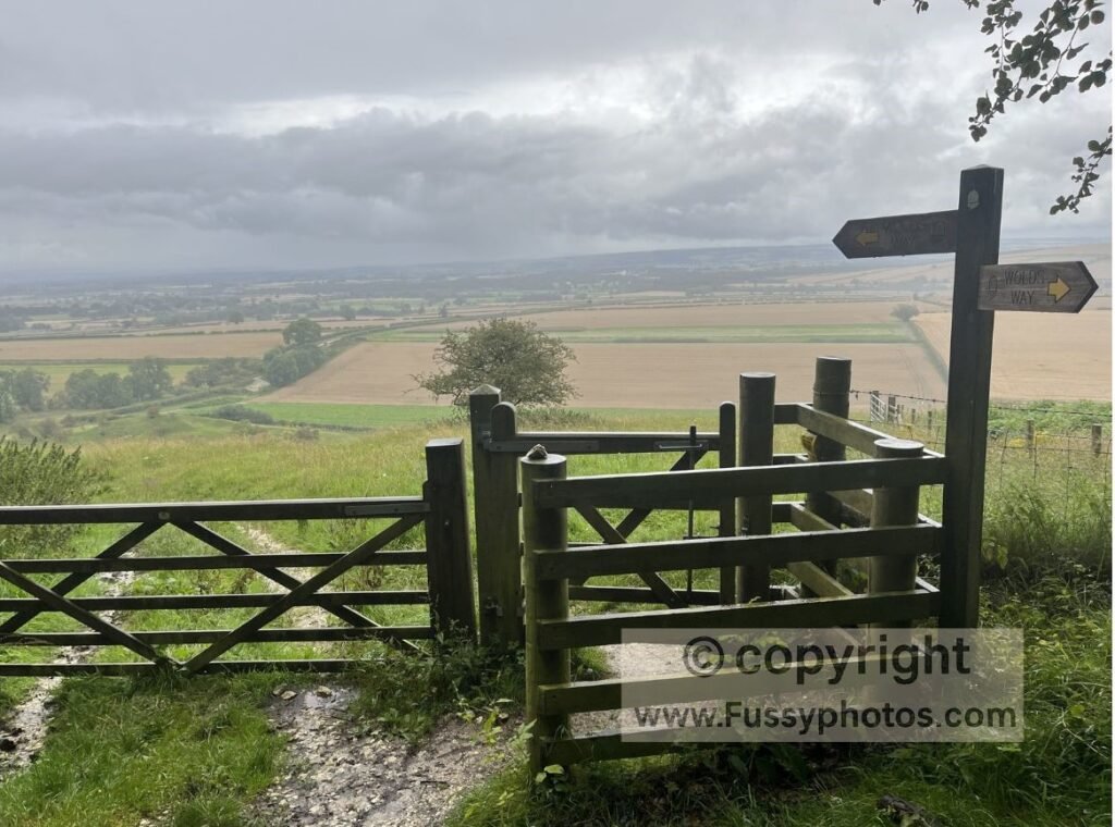
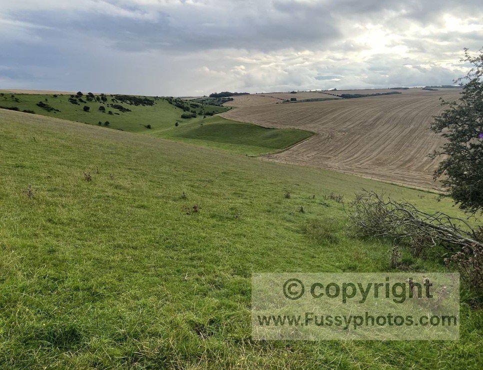
After the village, the route rises once more through woodland before turning east and following the chalk escarpment as it trends towards Flamborough Head. Here, the camber can be tiring — I found walking with my left foot several inches lower than my right surprisingly strenuous, despite the elevation barely changing — before the final descent into Sherburn.
Sherburn → Filey
The route undulates across farmland in the early miles, with several short climbs and descents. The final stretch towards Filey is flat, easy and fast, ending with a gentle approach to Filey.
What Is the Hardest Section of the Yorkshire Wolds Way?
Given the higher mileage, it’s a close call between the repeated ups and downs through the dry valleys from Thixendale to Sherburn and the constant undulation around fields and fences on the final day to Filey.
How Fit Do You Need to Be to Walk the Wolds Way?
For a 6‑Day Walk
A 6‑day itinerary is suitable for most regular walkers. Daily distances of 12–17 miles are manageable, and the gentle terrain keeps fatigue low. This is the best option for beginners or anyone wanting a relaxed pace.
For a 5‑Day Walk
A 5‑day itinerary requires good fitness. Expect several days of 16–23 miles, with long stretches between settlements north of Fridaythorpe. The terrain is forgiving, but the mileage adds up.
For a 4‑Day Walk
A 4‑day itinerary is demanding and best suited to experienced long‑distance walkers. Days of 19–27 miles require stamina, early starts and efficient pacing. The terrain helps, but the distances are significant.
For Fastpackers or Runners
The chalk underfoot and gentle gradients make the Yorkshire Wolds Way ideal for fastpacking. Water availability and accommodation gaps are the main constraints.
If you’re planning your own walk and want to see how the 79 miles break down in practice, my guide to walking the Yorkshire Wolds Way in sections sets out practical 4‑, 5‑ and 6‑day itineraries with realistic overnight stops.
Tips for Making the Yorkshire Wolds Way Easier
- Choose a 6‑day itinerary — spreading the mileage over six days reduces the intensity and keeps fatigue low.
- Consider a rest day — Pocklington or Market Weighton make good bases, with more services than anywhere else on the trail.
- Walk the route in stages — leave the trail at Market Weighton or Pocklington, return home, and complete the remaining sections later in the month or year.
- Walk in summer — longer evenings, drier weather and vibrant colours make the miles feel easier and more motivating.
- Use B&Bs instead of camping — with only two campsites on the route, staying in B&Bs allows you to walk without carrying a tent, reducing pack weight significantly.
- Start early on longer days — especially north of Fridaythorpe, where settlements are sparse and exposure increases.
- Carry enough water — there are long stretches without taps or shops, particularly between Thixendale and Sherburn.
- Use a lightweight pack — the terrain is gentle, but reducing weight always makes a noticeable difference over 79 miles. For a simple, lightweight kit list tailored to this trail, see my Yorkshire Wolds Way Packing Guide.
- Check bus times in advance — if you’re breaking the walk into stages, knowing the connections at Market Weighton and Pocklington helps avoid long waits.
Is the Yorkshire Wolds Way Suitable for Beginners?
Yes — the Yorkshire Wolds Way is one of the best National Trails for beginners. The terrain is gentle, the navigation is straightforward, and the total distance is achievable for most walkers over 6 days. The main considerations are:
- planning around accommodation gaps
- carrying enough water on exposed sections
- being prepared for long stretches without services
With sensible pacing and a well‑planned itinerary, it’s an excellent first long‑distance trail.
Return to the Yorkshire Wolds Way Hub
Find more guides, route notes and planning resources for the full Yorkshire Wolds Way.