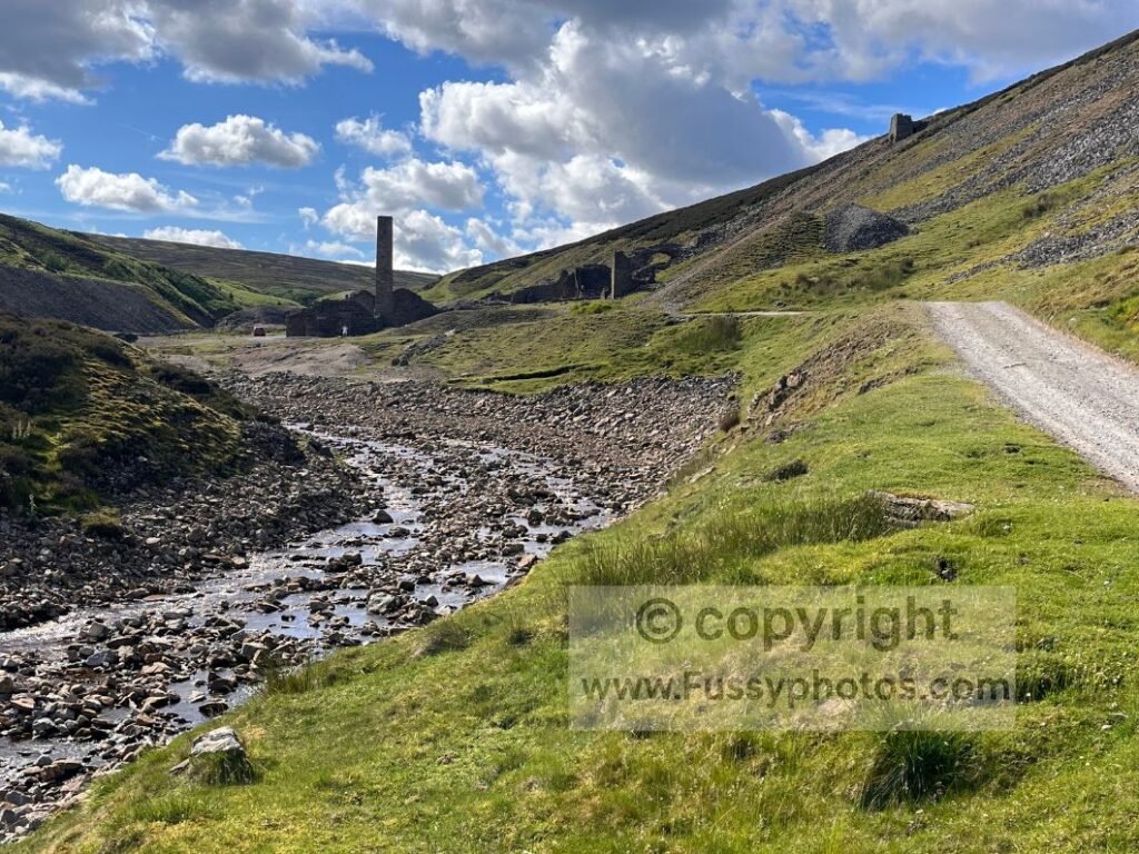
Overview of Day 5
Walking westbound, today’s stage links Richmond, Reeth and Keld — a long, rewarding day of mixed terrain, mining history, steep valleys and classic Swaledale scenery. With 21 miles ahead, I chose to push beyond Reeth and finish at Keld, a familiar spot from the Pennine Way.
Coast to Coast (Reverse) — Stage Index
This guide is part of my reverse Coast to Coast series — you can follow every stage using the index below.
- Day 1: Robin Hood’s Bay → Egton Bridge
- Day 2: Egton Bridge → Charlton Bank
- Day 3: Charlton Bank – Danby Wiske
- Day 4: Danby Wiske – Richmond
- Day 6: Keld – Sunbiggin
- Day 7: Sunbiggin – Angle Tarn Camp
- Day 8: Angle Tarn to Rosthwaite
- Day 9: Rosthwaite to Ennerdale Bridge
Key Facts: Richmond → Reeth → Keld (Reverse)
- Distance: 21 miles (10.3 miles to Reeth, 10.5 miles to Keld)
- Terrain: Road walking, farmland tracks, moorland, mining ruins, steep valleys
- Key Features: Richmond Castle, Whitecliffe Wood, Applegarth Scar, Old Gang Smelting Mills, Gunnerside Gill, Swinner Gill, Kisdon Force, East Gill Force
- Amenities: Full resupply in Richmond; cafés, pubs and shops in Reeth; campsite at Keld
- Navigation Notes: Sparse signage between Reeth and Keld; multiple parallel trails and unsigned junctions
- Wild‑Camping: Limited options before Reeth; better opportunities around moorland and gills
- Camping: Rukin’s Campsite (£10 for long‑distance walkers). Orchard Caravan & Camping Park (Reeth) if camping in Reeth
Map of the Day’s Route
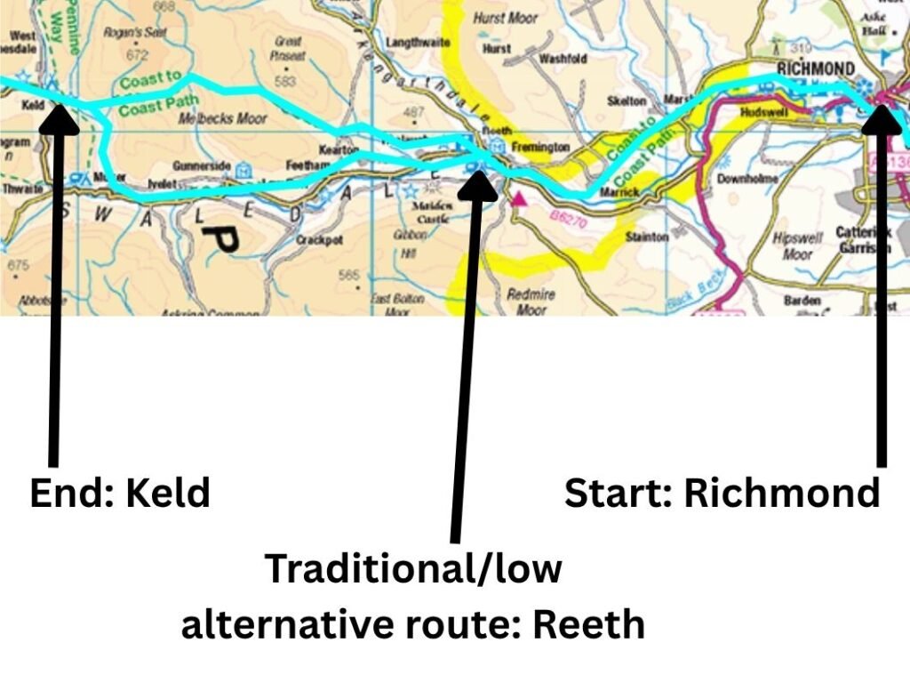
If you’d like to explore the official route in more detail, you can view the interactive National Trails map here
Watch Day 5: Richmond to Keld

Richmond to Reeth (10.3 miles)
Having decided to stick with a B&B rather than twist with more mileage and a possible wild camp, I was a little behind my plans to complete the coast to coast trail in just 5 more days
Setting Out from Richmond: Choosing Reeth or Keld
Having decided to stick with a B&B rather than twist with more mileage and a possible wild camp, I was a little behind my plans to complete the Coast to Coast trail in just five more days. Logistics were now straightforward: 10.3 miles to the west lay Reeth, with cafés, six pubs (some with accommodation) and a campsite; or Keld, a further 10.5 miles west.
Walking solo, I was never going to choose the easy option of Reeth, reaching the village before 2pm even after a later‑than‑normal start while I waited for breakfast at my B&B. I also had some familiarity with Keld as the halfway point on the Coast to Coast, and as part of the Pennine Way.
So whilst my feet might have been screaming, mentally I was entering familiar territory. I had a good idea of the terrain, wild‑camp options if I didn’t make the full 21 miles, and I knew of the campground in Keld.
Leaving the B&B and a Later Start
The light mornings and the excitement of another day on the trail meant I was hanging around the B&B ready to leave, but I wanted the cooked breakfast on offer, knowing it would help power me through the early miles. After breakfast, I took advantage of the amenities to buy a pasta sauce for my evening meal, wondering why I had carried so much from Danby Wiske that I could easily have bought in Richmond — the benefit of hindsight.
Richmond: A Reliable Town for Resupplies but not Trail Signs
Richmond is an excellent town for resupplies, and it was almost 9am by the time I finally made my way out. Beware: the Coast to Coast signs disappear in the town, much as they do at other key navigation points, so it’s worth paying attention before the trail climbs westwards.
Climbing Out of Richmond Towards Whitecliffe Wood
For westbound walkers, the day starts with a gentle climb to around 220m along yet another of the trail’s many road‑walking sections. Initially, the best views are reserved for those walking eastwards, with glimpses of Richmond Castle below through the trees. After a mile, the lane flattens and the tarmac merges into a gravel farmland track.
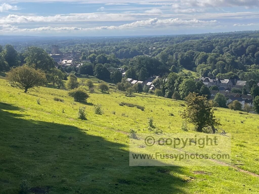
Whitecliffe Wood offers shade and birdsong but few thrills until I emerged on the other side to open views — and perhaps the only plausible wild‑camping terrain that might have offered some sleep had I not stopped in Richmond. The B&B had been the right decision, and my good night’s rest had already confirmed that.
Open Views Above the River Swale
The River Swale re‑emerged some 100m below, meandering through trees and farmland and offering the best views of my journey so far since the North Yorkshire Moors.
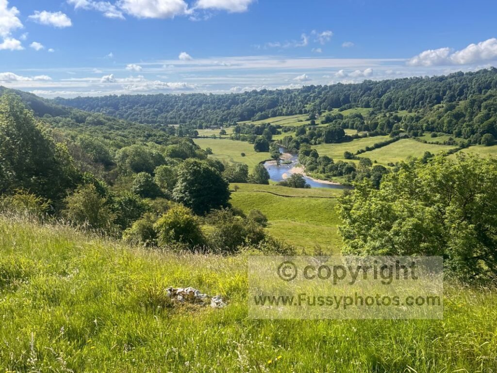
The trail gently rolled past farmhouses and green fields before leaving the gravel track at Applegarth Scar to descend through initially shrubby fields, then grassy farmland towards Marske.
Approaching Marske and the Climb Beyond
I spotted no amenities in Marske, but took advantage of a shaded bench to ditch the backpack and rest before more road walking up a steep hill, where it was hard not to be jealous of the passing Coast to Coasters walking downhill.
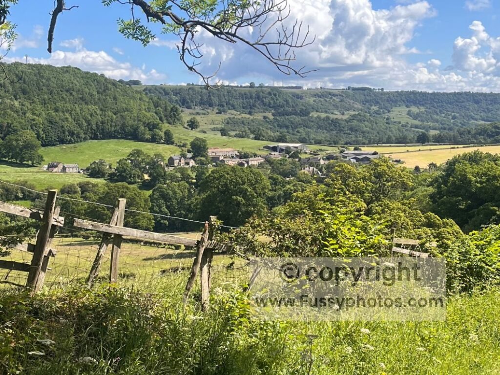
The terrain widened — drystone walls, sheep, gentle rolling hills — and, slightly bizarrely, a steady stream of Duke of Edinburgh walkers and school groups.
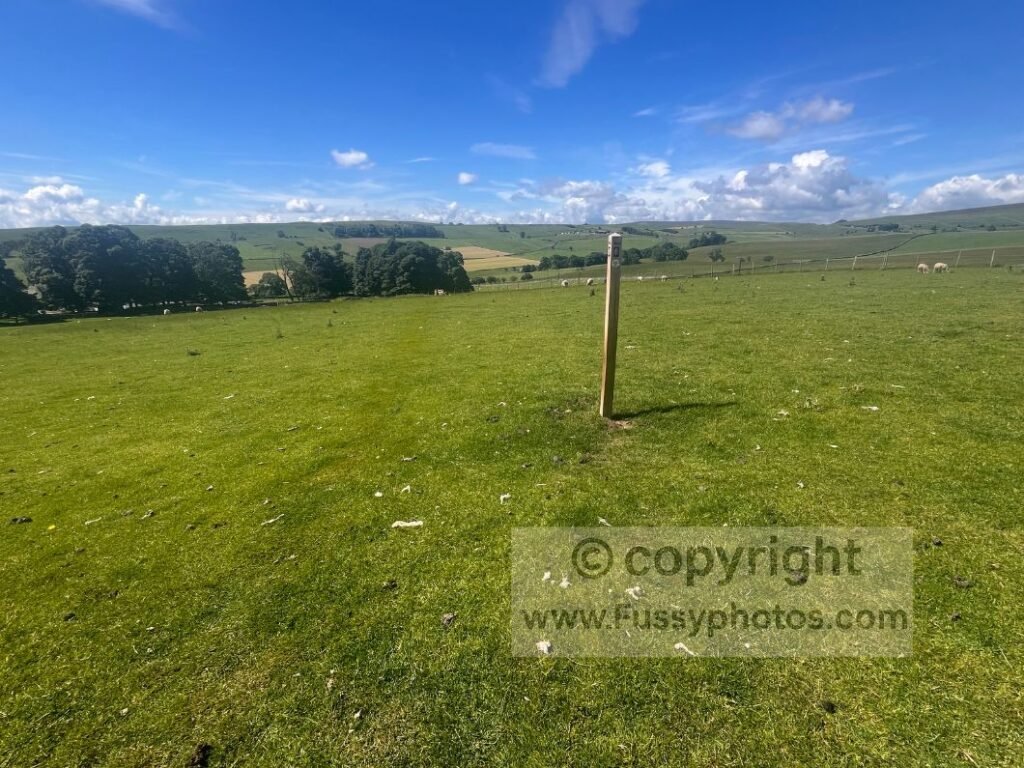
Marrick to Reeth
Reaching Marrick, I found another bench and cooked my pasta, already craving carbohydrates and keen to lighten my pack. I chatted with two walkers about camping options — one of the real advantages of walking against the flow of summer hikers.
The trail then entered Steps Wood, named for its many slippery stone steps descending towards the noisy river below. Sadly, any hopes of riverside walking were delayed: the route joined yet another road for over a mile.
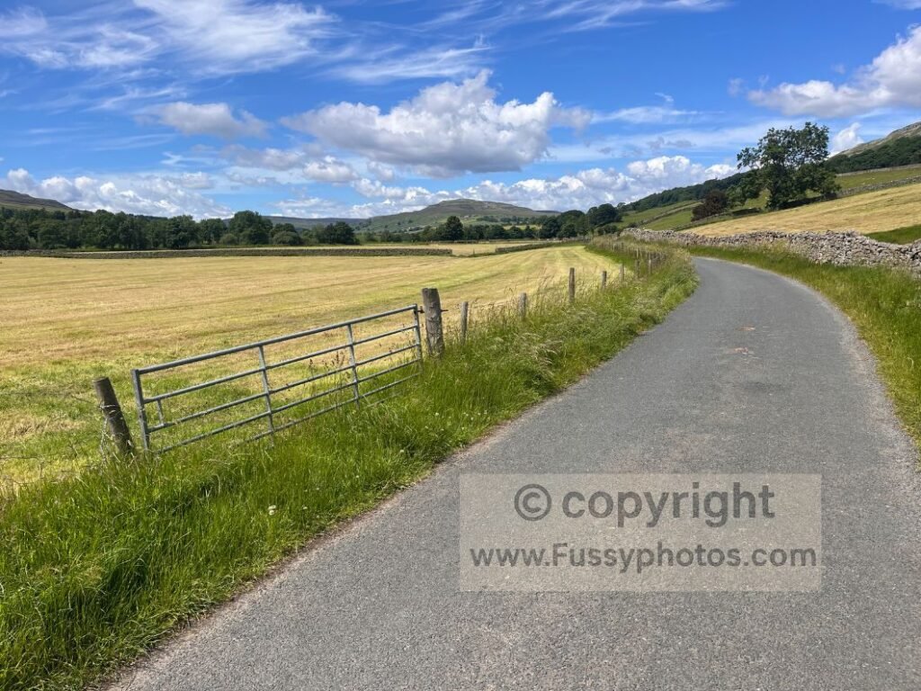
I briefly fantasised about a Coast to Coast Boris Bike Scheme, where walkers could bike the road sections and pass the bike to someone heading the opposite way.
Approaching Reeth
Eventually the riverside path arrived, initially parallel to the River Swale — a lovely spot to pause.
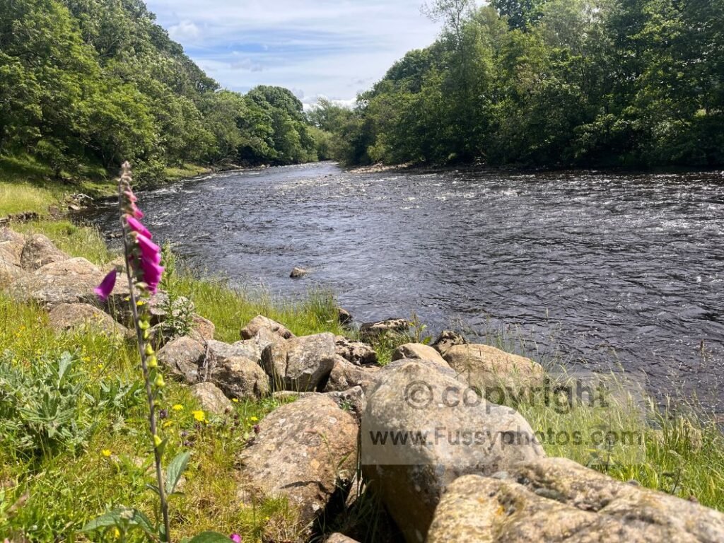
But soon trees blocked the view again until reaching Orchard Caravan & Camping Park, a sprawling floodplain full of holidaymakers.
With Reeth only half a mile away, I resisted refilling water and headed straight for Anvil Square, the village’s hub of pubs and cafés. Many walkers end their day here, and the sunshine made it tempting to join them.
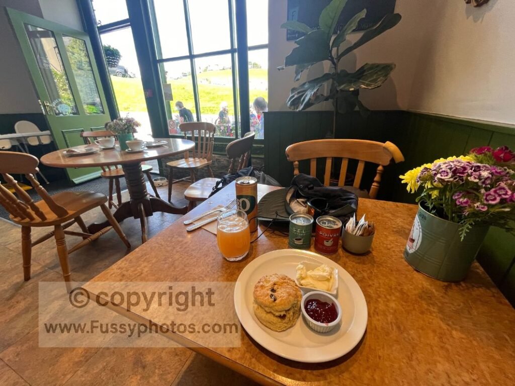
I settled for a café stop — scone and drink — then immediately visited the cornershop for more supplies. Long‑distance walking always turns me into a bottomless pit; I’ve read backpacking can burn 600 calories an hour, though that clearly varies. Still, it’s comforting to believe as you down a Yazoo while eating an ice cream.
I met a couple finishing their day hike and felt a pang of jealousy — I wasn’t even halfway to Keld. They couldn’t advise on the River Swale vs lead‑mine route, but I’d already committed to the traditional high route. If you want a clearer breakdown of the two options — the high‑level mining route and the gentler riverside alternative — see Keld High‑Level vs Low‑Level Route: How to Choose.
Reeth to Keld
Climbing Above Reeth
After 45 minutes in Reeth, I ignored the low road and climbed the narrow path upwards, hoping for cooler air on the moors.
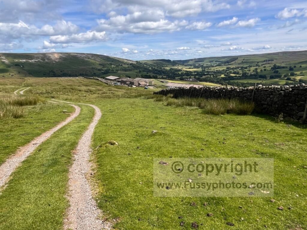
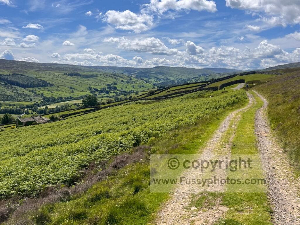
Initially the best views were behind me, but soon the trail ran parallel to Swaledale, rising to around 350m and passing the first old smelting mill.
Multiple trails run parallel in this section, and although you start on a trail knowing you’re on the Coast to Coast, various junctions appear with faint paths veering off every so often. Bizarrely, the signage here is lacking, and not for the first time I noted that whilst it may be obvious which is the official trail walking eastwards, even with a GPS and OS map it’s not always clear when heading west on unfamiliar ground.
Cringley Bottom
One of my highlights of the day was a narrow, steep valley where the trail descended some 40–50m to a footbridge crossing, only to ascend again moments later. My guidebook described it as a nasty surprise, but I found it anything but, and stopped here for a rest and to soak my feet, finally feeling like I’d found some real solitude.
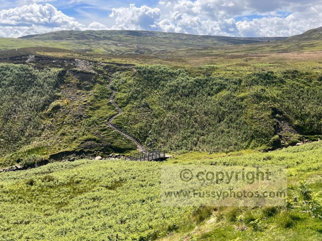
A Quiet Moment of Solitude on the Coast to Coast
It was one of those rare pockets of calm on the trail — a brief pause before the mining ruins and moorland ahead — and a reminder of how rewarding the reverse Coast to Coast can be when the afternoon crowds thin out.
Old Gang Smelting Mills
Next came the first old smelting‑mill ruins before the trail diverged towards Old Gang Smelting Mills, paralleling Old Gang Beck below.
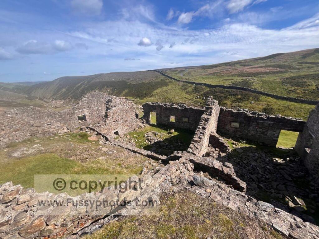
Presumably the eastbound walkers from Keld to Reeth had already passed by this point, as the trail quietened and solitude returned — a phenomenon I noticed every late afternoon, and another real advantage of walking the trail in reverse.
If you’d like to see how this high‑level mining traverse — and the gentler riverside alternative you can see from the viewpoint above Swaledale — fit alongside the trail’s other standout moments, you’ll find them all in my Top 10 Highlights of the Coast to Coast.
Route‑Finding Challenges Above the Old Gang Mills
Beyond the mill, the gravel track rose more steeply before meeting a bridge with no trail signs. The moors seem to operate on a strict ‘find it yourself’ policy, where signage is more of a rumour than a resource.
I knew Keld lay to my west, and my map showed both trails merging again in a mile or so, but one was distinctly more direct than the other, yet it was unclear which was the official Coast to Coast. I met a runner here doing a Reeth circular — someone I met again an hour or so later on his return. It’s always reassuring when someone else completes a loop faster than you complete a straight line. He confirmed I was on the Coast to Coast.
I checked my map and GPS various times but must have confused it with another nearby trail, as after half a mile I concluded I’d left the trail I wanted and begrudgingly retraced my steps before taking the trail I wished I’d followed sooner. Nothing builds character quite like the quiet walk of shame back to the junction you pretended wasn’t important.
I met the same runner again, who warned me to “take the third left, not the second left” at the unsigned junctions — or was it the second, not the third? Hard to say; he distracted me by insisting I eat some of the cakes he was carrying.
Eventually I found the correct left turn, spotting a lone trail sign just as I pivoted. Relief.
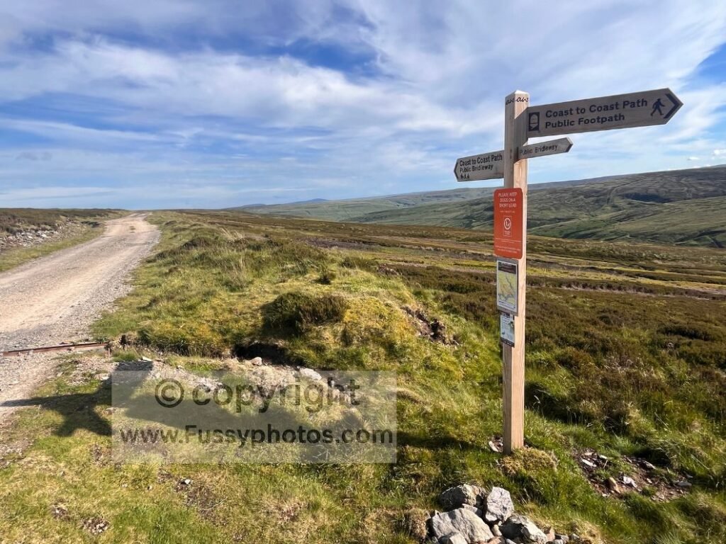
Blakethwaite Mine and Gunnerside Gill
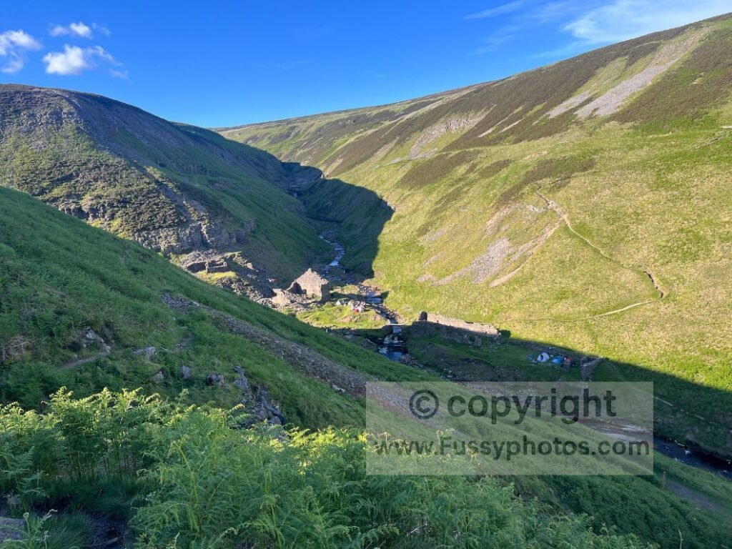
The official route towards Blakethwaite Mine is narrow and barely trodden, suggesting most walkers choose the easier riverside alternative. The old mine sits beside Gunnerside Gill, one of the most attractive valleys on the entire trail.
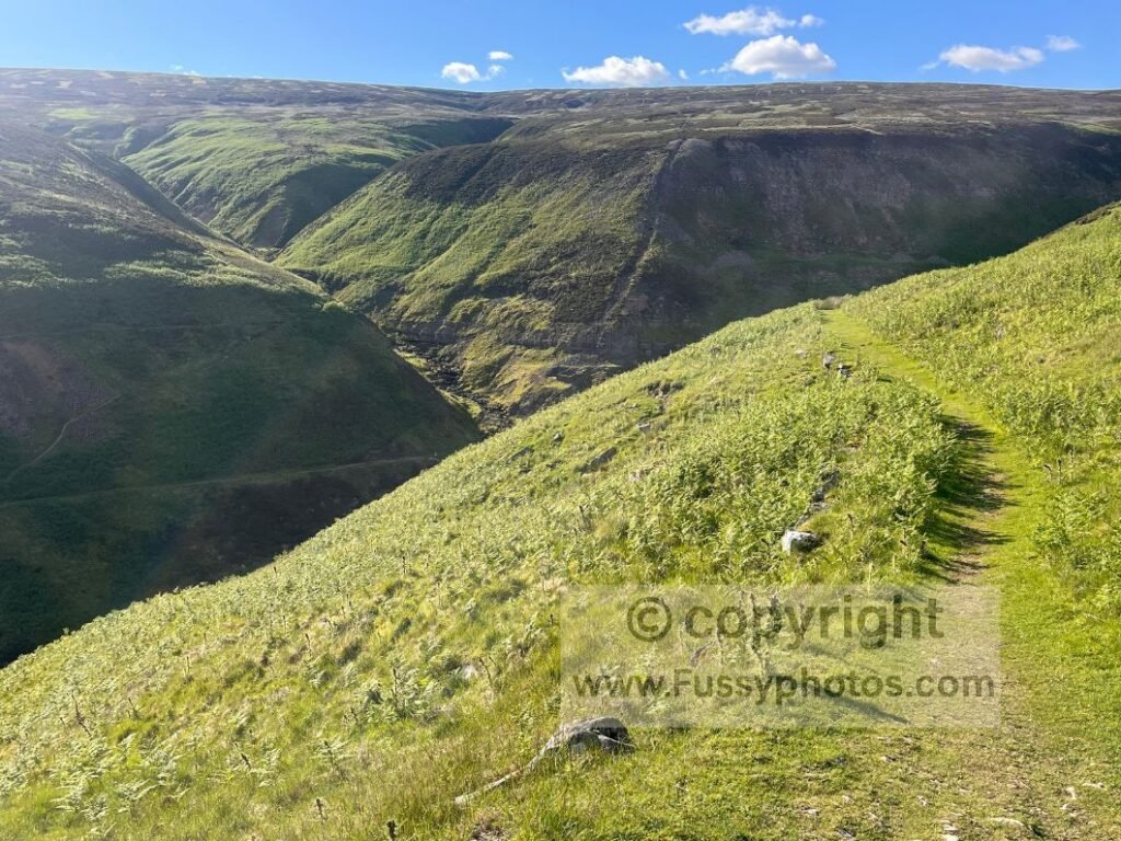
I planned a drinks break at the bottom but found multiple tents — and several bare backsides — belonging to a group of young men wild camping. I filmed less than planned for obvious reasons and climbed steeply out of the valley.
Swinner Gill
Over the next rise lay Swinner Gill, another impressive valley I’d hoped to explore on a recent Keld circular. The trail parallels the gill, water roaring below, making it one of the most dramatic sections of the day.
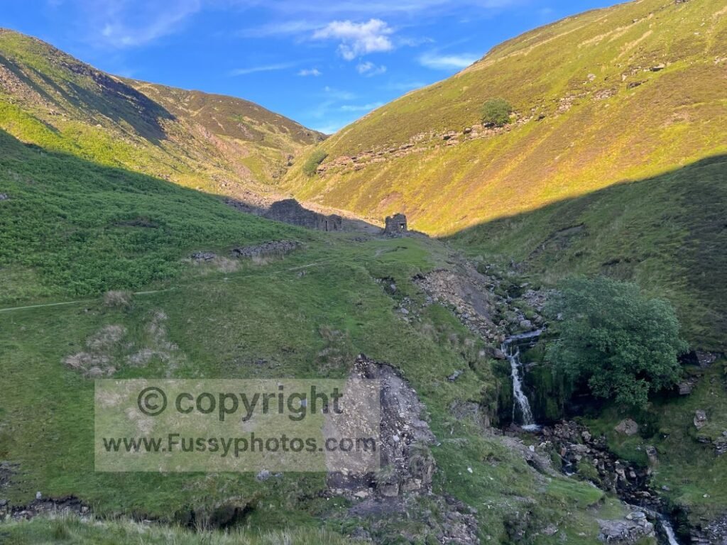
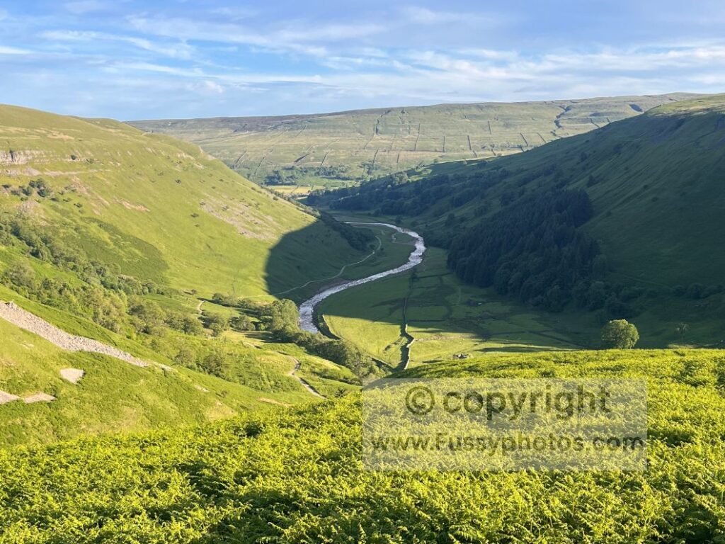
Ahead, views opened southwards towards the alternative riverside route and the River Swale flowing towards Muker.
Keld Waterfalls
Shattered but satisfied, I was still glad I’d taken the traditional high route — even though it took 6.5 hours to walk 10.5 miles, compared to roughly 4 hours via the riverside path.
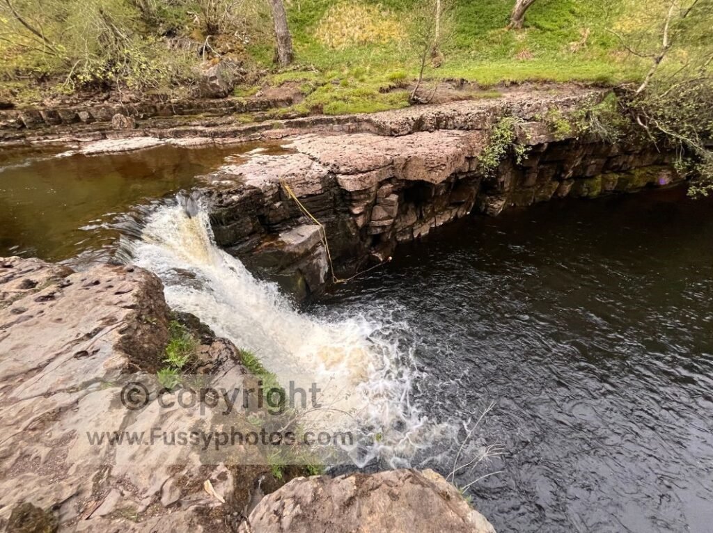
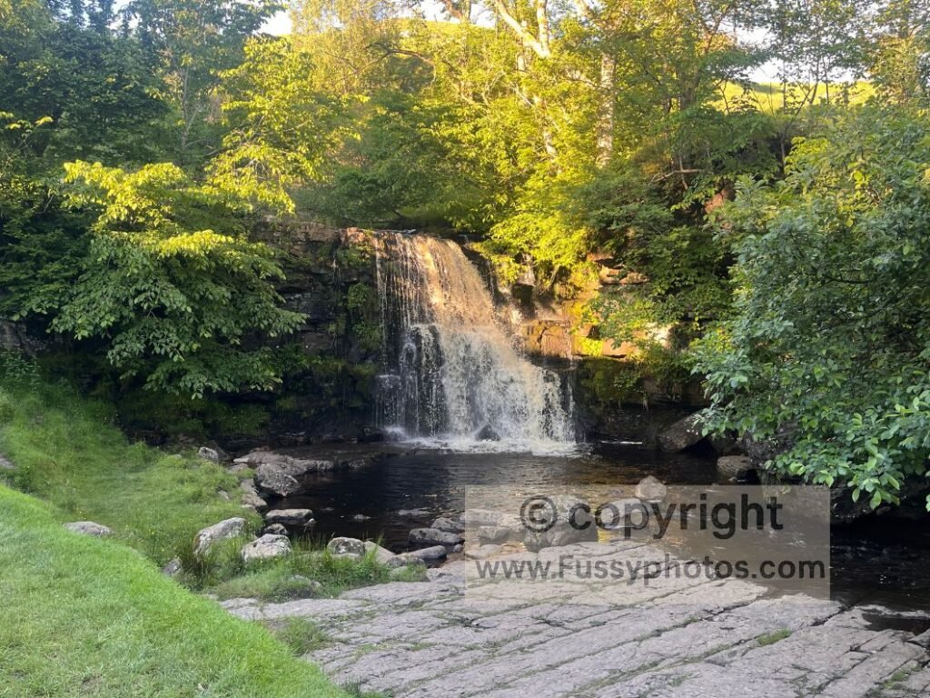
I paused to listen to Kisdon Force, invisible but unmistakable, before reaching East Gill Force.
Camping at Keld
Rukin’s Campsite had three fields open. A kind, patient lady (possibly the owner) answered my questions about water and showers and charged a very reasonable £10 for long‑distance walkers.
Despite being a busy Saturday, the site was respectful and quiet. I had one of my better nights’ sleep — now 21 miles closer to St Bees.
Practical Tips for This Day
- Start with a full breakfast — the long, steady miles out of Richmond feel easier with early calories banked.
- Resupply in Richmond — it’s your last reliable shop until Reeth, and even there options are limited.
- Expect weak signage — especially westbound; keep your OS map or GPS handy between Reeth and Keld.
- Watch for parallel trails — the mining section has multiple junctions and faint paths that look “official” but aren’t.
- Take breaks in shade when you find it — benches at Marske and Marrick are perfectly placed for pack‑off rests.
- Carry enough water early — there’s little to filter until the moorland, where small streams finally reappear.
- Filter or treat moorland water — once you reach the higher ground beyond Reeth, the becks and run‑off are ideal for topping up.
- Choose your route deliberately — the high mining route is slower but far more scenic; the riverside route is faster but busier.
- Plan for a long final stretch — the high route from Reeth to Keld can take over six hours with stops.
- Arrive at Keld with cash — Rukin’s Campsite is inexpensive (£10) but prefer cash for long‑distance walkers.
Silly FAQs
Why does the Coast to Coast signage disappear in Richmond?
It’s a confidence‑building exercise.
Why are there no signs on the moors?
Because the moors operate on a strict “self‑service navigation” policy. The National Park provides the landscape; you provide the guesswork. It’s a collaborative experience, just not a particularly balanced one.
Why are there so many Duke of Edinburgh groups on the Coast to Coast?
It’s a controlled experiment to test your ability to smile politely while carrying a heavier pack.
Is the steep valley before Old Gang Beck really a “nasty surprise”?
Only if you dislike beautiful scenery, solitude, and free foot‑soaking opportunities.
Why were there naked wild campers on the moors?
It was a heatwave, and some people treat extreme temperatures the same way they treat complicated admin: remove unnecessary layers and hope the situation resolves itself.
Read Day 6 on the Coast to Coast
Next →
Coast to Coast Guides & Trip Reports
Find every planning guide, highlight list and reverse‑direction stage report on the main Coast to Coast hub.