Walking the Coast to Coast in Sections
Having left the route in spring at the end of my Yorkshire Moors section thru‑walk, I wanted to rejoin the trail at the exact same point. Not the easiest place to reach, Danby Wiske is a small village 15 miles east of Richmond and 7 miles west of Ingleby Cross — a 22‑mile stretch some walkers tackle in a single day across the flat farmland of the Vale of Mowbray.
For a wider look at breaking the Coast to Coast into flexible sections, see How to Split the Coast to Coast Into Sections.
Coast to Coast (Reverse) — Stage Index
This guide is part of my reverse Coast to Coast series — you can follow every stage using the index below.
- Day 1: Robin Hood’s Bay → Egton Bridge
- Day 2: Egton Bridge → Charlton Bank
- Day 3: Charlton Bank – Danby Wiske
- Day 5: Richmond – Reeth – Keld
- Coast to Coast Day 6: Keld – Sunbiggin
- Day 7: Sunbiggin – Angle Tarn Camp
- Day 8: Angle Tarn to Rosthwaite
- Day 9: Rosthwaite to Ennerdale Bridge
Accessing the Coast to Coast by Public Transport
Returning to the trail in the middle of a summer heatwave meant sorting out my logistics first. It’s around 5 miles north‑west of Northallerton, a town on the East Coast Main Line.
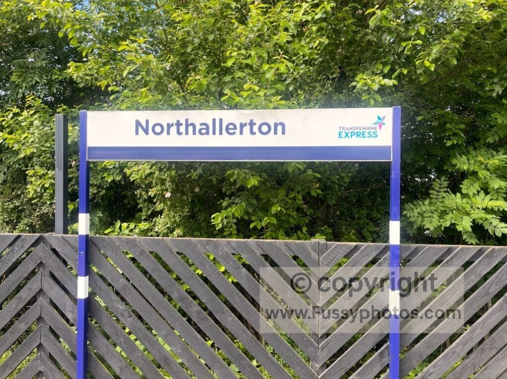
I’d walked from here to Northallerton at the end of my spring section, and I wasn’t going to make the same mistake twice. I’d researched local buses and found the No. 72, running from Northallerton to Darlington and passing Oak Tree Garage, just metres off the trail east of Danby Wiske. Unfortunately, that plan collapsed when I missed my train by 30 seconds, delaying me by an hour.
For a full guide to reaching each stage (written by someone who clearly needs one), see Coast to Coast Transport: How to Reach Every Stage.
A Chaotic Start in Northallerton
When I finally arrived in Northallerton, the taxi rank was suspiciously empty. After a few minutes it became clear a taxi could be anything from 5 minutes to 5 hours away. I rang a few numbers: the first had nothing for an hour; the second got funny with me when I said I needed it “now”, informing me he “wasn’t a magician” before hanging up. Fair enough — but I wasn’t asking for a rabbit out of a hat, just a lift to Danby Wiske.
At that point I’d have accepted a lift from a passing tractor, but even they were playing hard to get. Despite the bus running every two hours — and the inevitable waiting around that would waste valuable walking time — the No. 72 bus plan was back on, so I started walking the mile to the stop, drawing curious looks from locals as I trudged along with a big backpack. Judging by the looks I got, I may as well have been carrying a grand piano. Thankfully, A2B Taxis agreed to a quick pick‑up, and I was soon back on the trail.
Key Facts for Coast to Coast Day 4
- Start Point: Danby Wiske — small village, limited facilities, popular with walkers breaking up the Vale of Mowbray miles.
- End Point: Richmond — historic market town with full services, accommodation, and transport links.
- Distance Walked — approx. 15 miles.
- Time Taken — around 5.5 hours.
- Terrain — flat farmland, road walking, overgrown field edges, narrow hedge‑lined corridors.
- Notable Points — Bolton‑on‑Swale church, Scorton Lakes, River Swale, Catterick Bridge, A1 underpass, Richmond Castle.
- Difficulty — physically easy but mentally repetitive; limited shade in hot weather.
- Navigation — straightforward overall, but signage is less clear when walking east–west compared to the traditional west–east direction.
- Facilities — church stop at Bolton‑on‑Swale; full services in Richmond.
Map of the Coast to Coast Day 4 Route
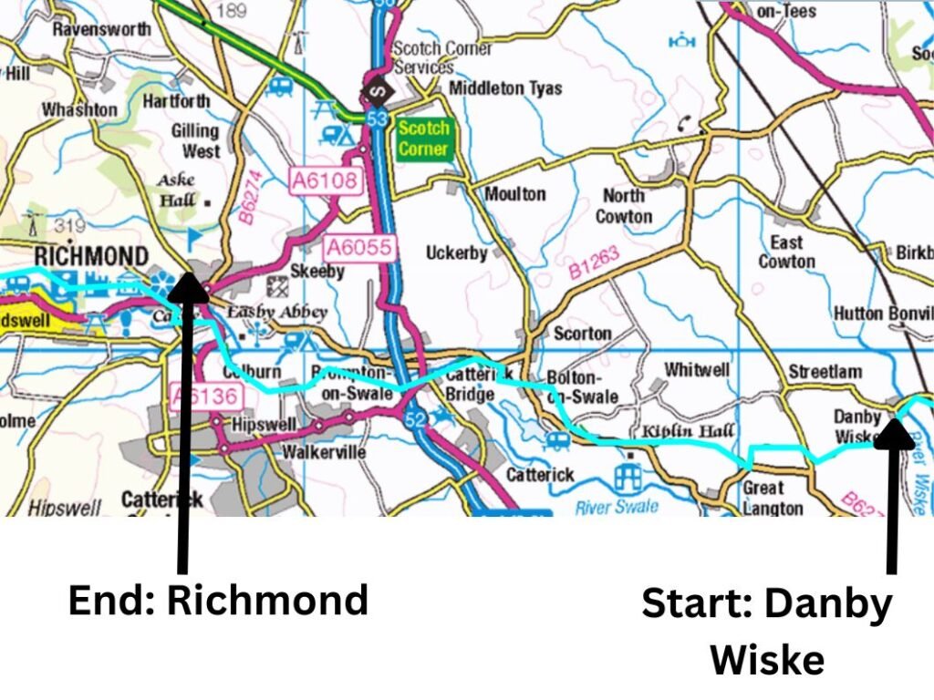
For a fully interactive version of this map, you can view the official National Trails route here.
Coast to Coast Day 4 Video: Danby Wiske to Richmond

Danby Wiske: A Small but Strategic Stop
Danby Wiske is a tiny village with little to attract the average visitor beyond the White Swan Pub, a favourite with Coast to Coast walkers breaking up the 22 miles of road walking and field‑skirting monotony. Outside, I noticed a baggage‑transfer service — costly, yes, but probably cheaper than the therapy required after carrying 10kg through hot and humid fields.
Walking East to West: Against the Flow
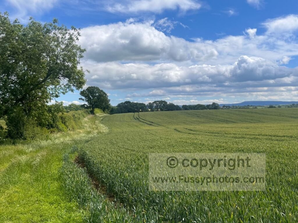
I met the first of many friendly C2C walkers heading the opposite way. One advantage of walking east to west is that you’re going against the usual flow, meeting a steady stream of people following the more traditional west‑to‑east direction. He warned me the trail ahead was overgrown; I told him about my ambitious plan to cover 20 miles a day and finish the trail in six more days. Logistically this was tricky, as most infrastructure sits around the traditional stage‑end points, and what lay between was more of an unknown. Terrain and land use could also be unsuitable for camping, so my 20‑mile rule had to be treated as an average rather than a benchmark.
If you’re planning your own Coast to Coast, why not set your own rules and shape the walk around your time, fitness and walking style? Coast to Coast: How to Plan Your Best Walk will help you build an itinerary that works for you.
Following Your Own Itinerary
While it was exciting to follow my own itinerary — stopping when I wanted, covering more miles when the mood took me — it also meant constantly scanning for camping opportunities or cheap B&Bs, sometimes late in the day when I would have preferred I stopped hours earlier.
The Vale of Mowbray: Farming Country on Foot
An Honest Look at the Flat Farmland Miles
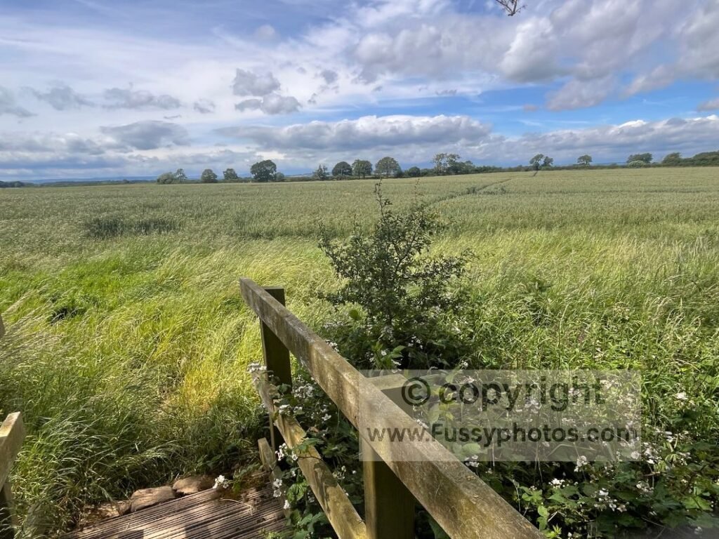
Martin Wainwright describes this farming section as an unexpected highlight. If I’m generous, the route‑finding is stimulating and the flat miles are a relief after hillier sections elsewhere. If I’m honest, the endless road walking and overgrown fields felt burdensome, and after the third mile of identical hedges, I began to question whether I was walking or just buffering.
A Break at Bolton‑on‑Swale
My first break came at Bolton‑on‑Swale, a small village with a church offering toilets and drinks.
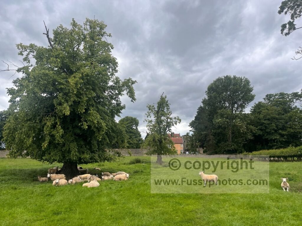
From there, the trail passes Scorton Lakes — a pleasant area, though oddly the C2C route doesn’t follow the lakeside paths, instead taking a less scenic line between hedges. The lakes looked lovely from a distance — which is exactly where the official route insists you stay.
First Sight of the River Swale
Continuing west, the trail squeezes between a 50 metre wide gap parallel to a road, offering the first sight and sound of the River Swale, a welcome change from the tight farmland paths earlier.
Approaching Richmond via Catterick Bridge
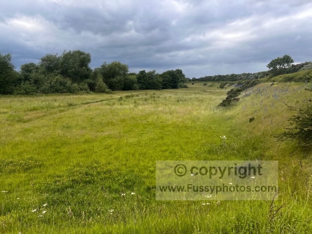
Soon the farmland returns on the way to Catterick Bridge and Brompton‑on‑Swale, where the trail passes beneath the A1. Finally, the end of this slightly mundane stretch (for me at least) is marked by the sight of Richmond Castle in the distance. At last — something that wasn’t a hedge, a field, or a road pretending to be a footpath.
Reaching Richmond on the Coast to Coast
Richmond Castle: A Brief History
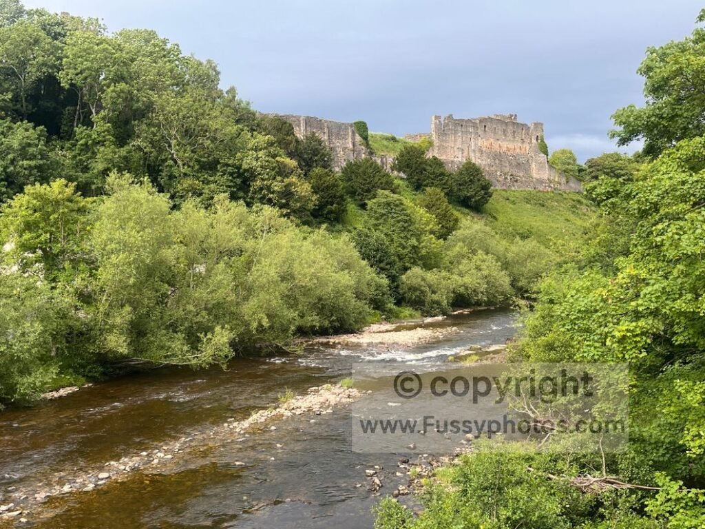
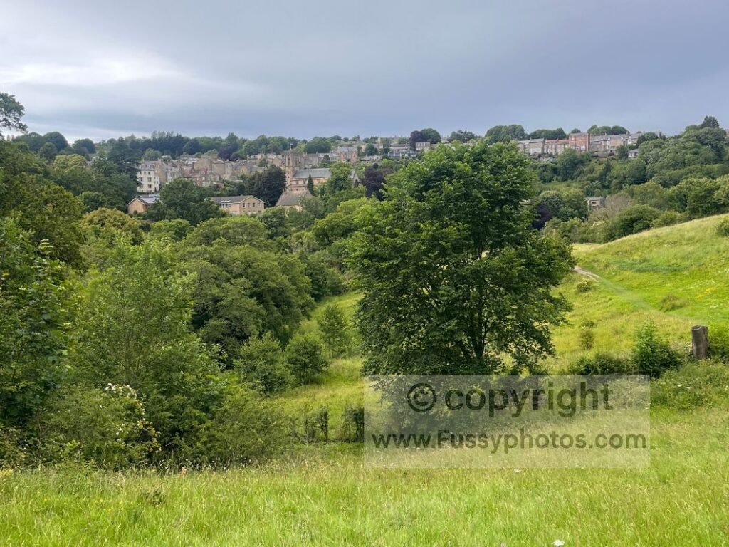
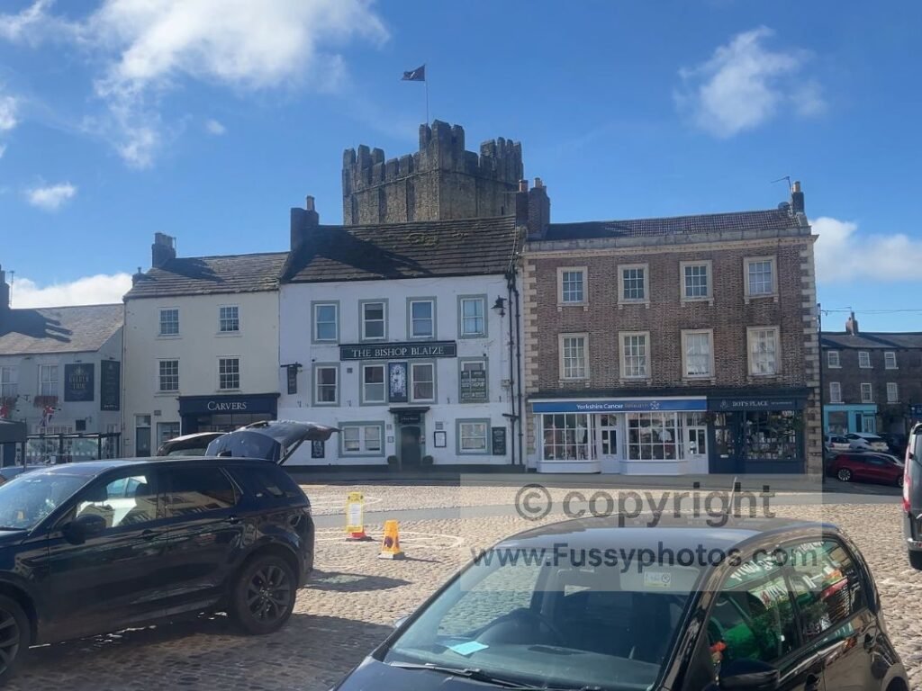
The Coast to Coast signs disappear at Richmond, but the castle is an obvious magnet. Richmond Castle was founded after the Norman Conquest, probably in the late 1070s by Alan Rufus, and expanded in the 12th century by his descendant Conan, who built the great keep. Over the centuries it fell into ruin, later being reused as militia barracks and a First World War prison, before becoming an English Heritage site.
Ending the Day in Richmond
After 15 miles of walking, I could have continued, but with no obvious campgrounds ahead — and the contour lines and land use suggesting wild‑camping options would be limited and uncomfortable — I decided to treat myself to a B&B, a shower, and a little time to explore the attractive market square. My feet staged a small protest and voted unanimously for a B&B.
Practical Tips for This Day
- Danby Wiske pub hours — The White Swan did have a pub, but it remained closed until late afternoon, so it wasn’t a reliable early‑day stop.
- Completing Ingleby Cross to Richmond in one go — If you’re fit enough, I’d have recommended completing the full 22 miles from Ingleby Cross to Richmond in a single day. I didn’t, as I walked the trail in sections and had previously left the route at Danby Wiske earlier in the year.
- Richmond accommodation — Richmond was busy, and booking accommodation in advance is strongly adviced.
- Resupply options in Richmond — The town had everything a hiker needs: food, toiletries, snacks, and general supplies.
- Cash point availability — Richmond has a cash machine – useful later on the trail when honesty boxes became more common.
Silly FAQs for Coast to Coast Day 4
Is the Vale of Mowbray really flat?
Yes. So flat that your GPS may assume you’ve stopped moving and gone for a sit‑down.
Why doesn’t the route go next to Scorton Lakes?
Unknown. Possibly a long‑running feud between Wainwright and ducks.
Will I see anything other than hedges?
Eventually. Richmond Castle appears like a reward for surviving Level 3 Hedge Repetition.
Is Danby Wiske pub open when I arrive?
Only if you arrive at the exact moment the universe aligns. Otherwise, probably not.
Why is the signage worse east–west?
Because you chose the rebellious direction and must now live with the consequences.
Is road walking really that bad?
It’s fine, as long as you enjoy warm tarmac, passing tractors, and questioning your life choices.
What’s the highlight of this section?
Richmond Castle. Closely followed by the moment you realise the hedges are finally behind you.
Can I wild‑camp on this stretch?
Only if you enjoy sleeping in fields that look identical to the last 47 fields you walked through.
Is 22 miles from Ingleby Cross to Richmond doable?
Yes — if you’re fit, determined, and not emotionally attached to your feet.
Why does Richmond have a cash machine?
To prepare you for the honesty boxes ahead. Think of it as a financial warm‑up.
Continue the Journey on the Coast to Coast
Next →
Plan Your Coast to Coast Journey
If you’d like to explore more stages, compare route options or dive into the planning guides, the Coast to Coast hub has everything in one place.