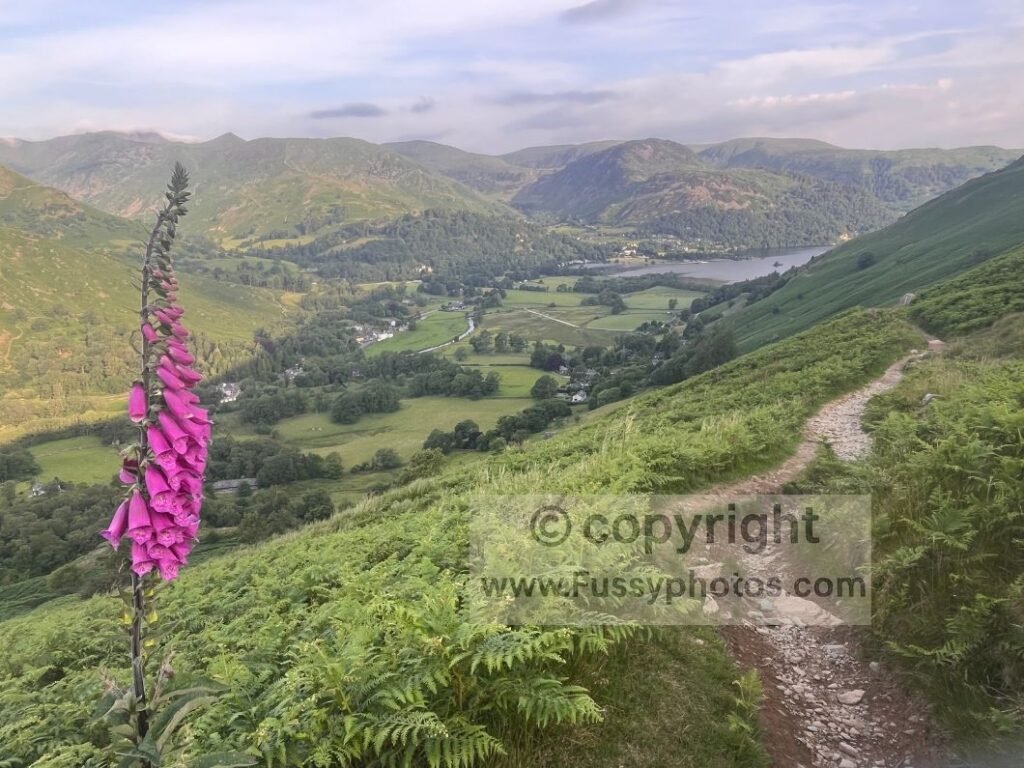
Leaving Angle Tarn After a Blustery Night
Following a huge day and a blustery night, I was up early and back on the trail, hoping to descend into Patterdale before the morning heat arrived. After three nights of camping, had a hotel reservation waiting and was walking with the enthusiasm of someone who’d just discovered civilisation.
Angle Tarn looked majestic — a real gem perched 500m up, cradled within a natural bowl of rising contours that fold and sweep upwards on all sides, with higher peaks lifting beyond them like a second tier of skyline.
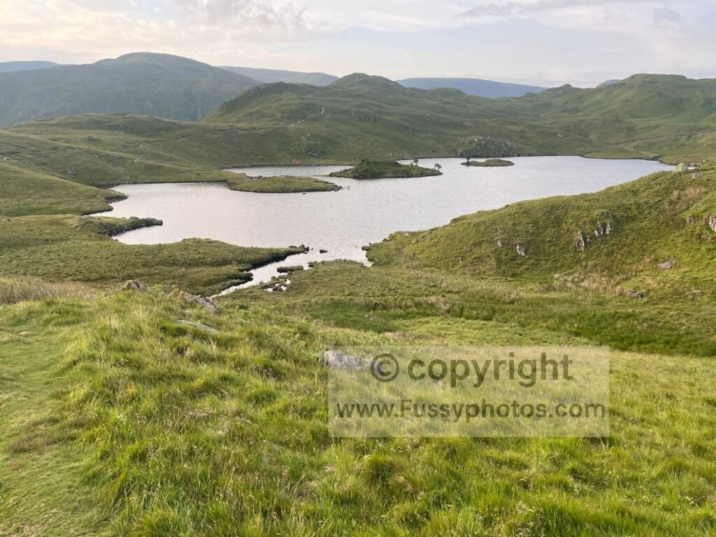
Visibility was excellent again, with the southern edge of Ullswater (and Patterdale) clear in the distance and Brothers Water 350m below, a little behind me but perfectly framed for west–east walkers.
OS Map Extract: Angle Tarn to Rosthwaite (Borrowdale)
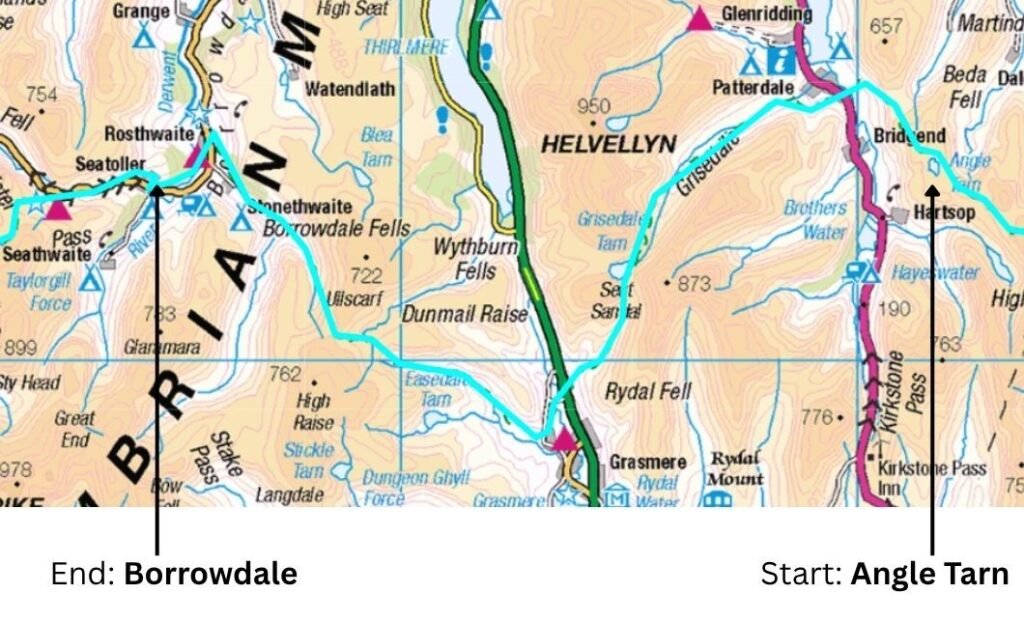
If you’d like to explore the official route in more detail, you can view the interactive National Trails map here
Coast to Coast (Reverse) — Stage Index
This guide is part of my reverse Coast to Coast series — you can follow every stage using the index below.
- Day 1: Robin Hood’s Bay → Egton Bridge
- Day 2: Egton Bridge → Charlton Bank
- Day 3: Charlton Bank – Danby Wiske
- Day 4: Danby Wiske – Richmond
- Day 5: Richmond – Reeth – Keld
- Day 6: Keld – Sunbiggin
- Day 7: Sunbiggin – Angle Tarn Camp
- Day 9: Rosthwaite to Ennerdale Bridge
Overview of Day 8 — Angle Tarn to Grasmere via Patterdale & Grisedale
Navigation was initially straightforward: a clear trail leading away from Angle Tarn, though not the only one, with side paths tempting day walkers down into Bannerdale. My route followed the main line — descending the two‑mile trail into Patterdale, skirting the village’s western edge, and beginning the long, gradual ascent through Grisedale towards the 550m high point at Grisedale Tarn.
I’d once ambitiously planned a detour to Helvellyn, but with a second descent towards Grasmere and another mountain pass at Greenup Edge still ahead, the idea faded. I’d already stood on the summit a few months earlier in visibility that could have rivalled a European football match after a flare‑heavy goal celebration.
Elevation Profile: Day 8 – Angle Tarn to Rosthwaite via Grisedale and Greenup Edge
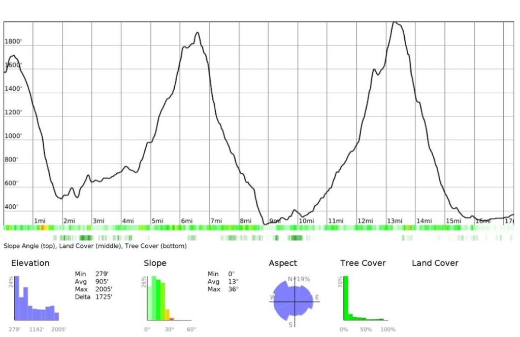
Key Facts: Day 8 – Angle Tarn – Rosthwaite
- Start: Angle Tarn
- Finish: Rosthwaite / Glaramara Hotel (extended)
- Distance: ~17 miles (longer including the descent from Angle Tarn)
- High Points: Grisedale Tarn (550m), Greenup Edge (630m)
- Villages: Patterdale, Grasmere
- Terrain: Steep descent, glaciated valley walking, long gradual ascent, rocky passes
- Water: Steams plentiful— a filter strongly recommended in the Lake District
- Optional Detours: Helvellyn, Easedale Tarn, Helm Crag
- Difficulty: High — Two mountain passes, cumulative fatigue and heat amplify the challenge
Coast to Coast Day 8 Video: Angle Tarn to Rosthwaite

Descending to Patterdale and the Search for Drinking Water
As I edged closer to Patterdale, Helvellyn appeared into view. Having camped in the hills without my water filter, I was running low. With hindsight, of all the sections on the Coast to Coast, I’d argue the Lake District is the one where you need a water filter the most.
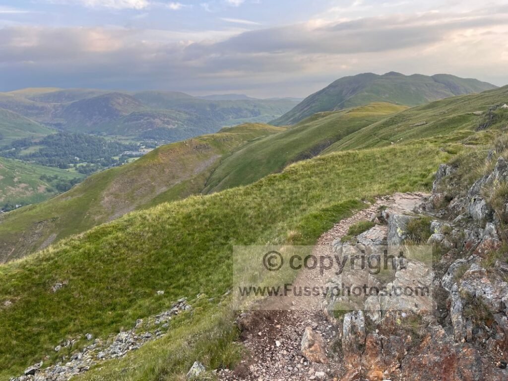
My thoughts turned to where in Patterdale I might refill my bottles — especially this early, when only farmers and the earliest risers would be awake and hotel doors still locked. The descent was exceptionally green, and signs guided me easily through the village.
My map suggested a youth hostel five minutes off-route to the south. I followed the line along the road, only to find the hostel covered in scaffolding and clearly closed — discovering it was shut in the most unambiguous way possible. A nearby B&B didn’t answer the door either. Luckily, I spotted an outside tap and made full use of it — the Lake District’s version of winning the lottery.
Back towards Patterdale, the Coast to Coast quickly leaves the village along an undulating trail through cattle fields. Despite the elevated (though partially blocked) views of Ullswater, I instantly regretted not taking the road through the village to rejoin the route in Grisedale Valley — it would certainly have involved less up and down, and far fewer horse flies, who clearly had a rota system for greeting walkers.
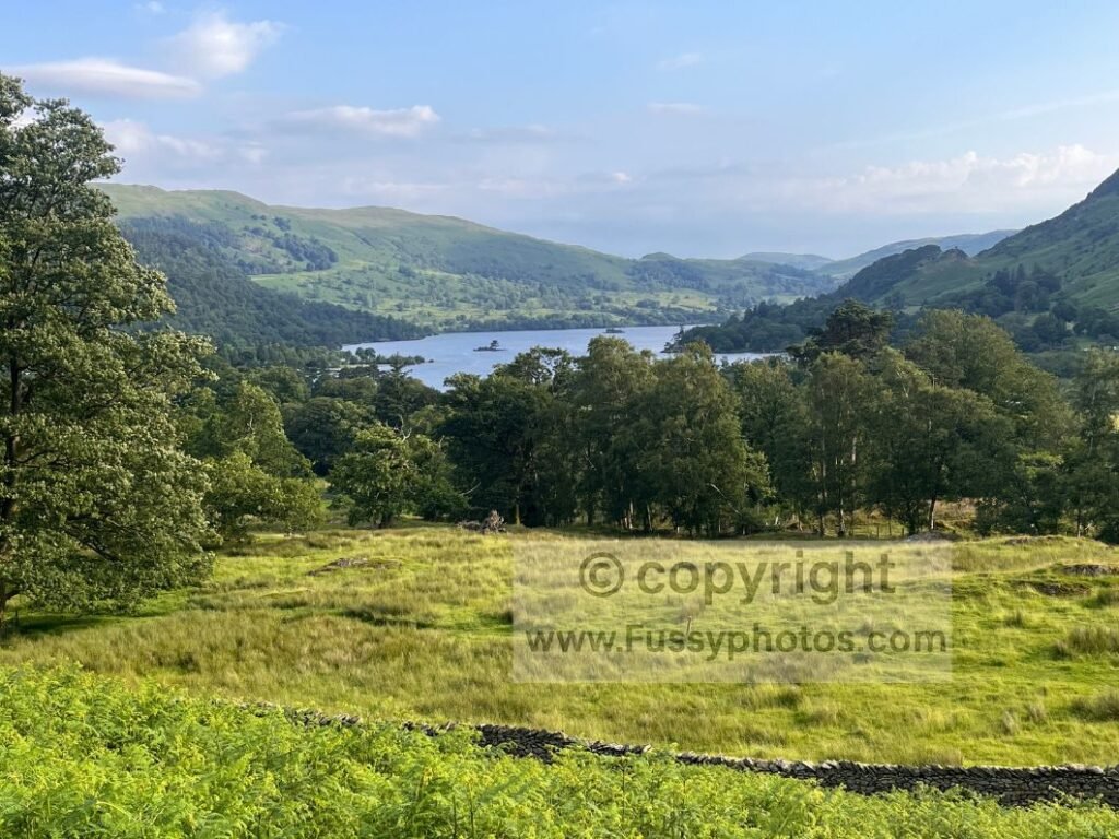
Into Grisedale Valley — Familiar Ground
Grisedale Valley brought the benefit of familiarity, having walked the next 3.5 miles previously on my Better Helvellyn route. It’s a beautiful, stark, wide glaciated valley, with arguably the best views east–west for westbound walkers — I felt like I was winning.
At the first sight of a bench, I dropped my backpack and cooked breakfast. The route follows a flat farmers’ track initially, with the ascent creeping in slowly. The valley becomes more dramatic as it narrows. Trails peel off northwards, offering day walkers unlimited circular options.
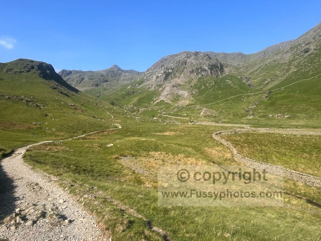
Crossing multiple streams, my regret at leaving my water filter grew as I hauled my pack upwards — though not before taking another opportunity to soothe my feet in the cool water. Glacial erratics appeared, and a waterfall tumbled from the steep valley sides. It’s an incredibly picturesque route.
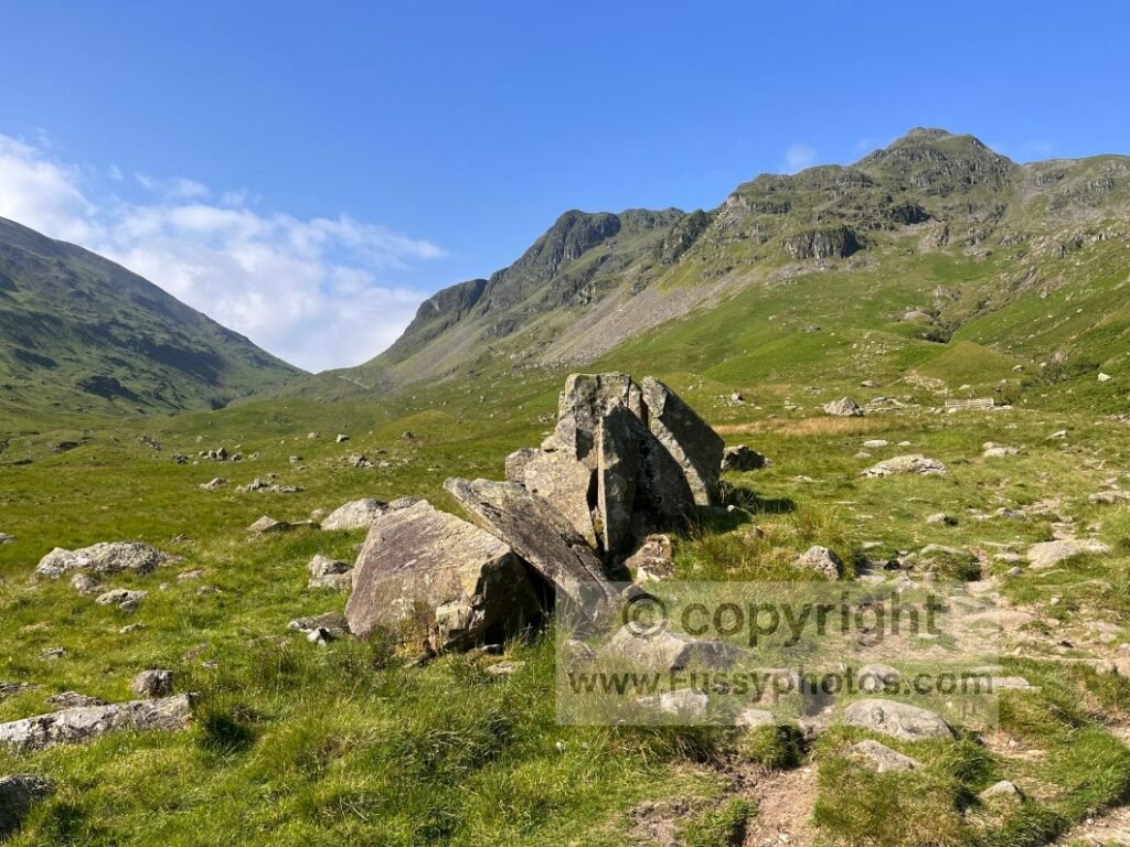
Grisedale Tarn
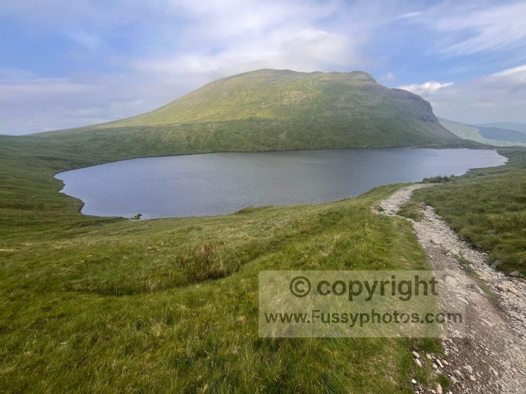
Within half a mile of Grisedale Tarn, clouds began rolling in — arriving precisely when the forecast insisted they wouldn’t. With 27°C and clear skies supposedly guaranteed, I wondered whether the peaks would disappear. The rocky path passed a final scree slope before flattening at 550m, revealing the large tarn in full view.
I crossed Grisedale Beck via stepping stones to the tarn’s southern edge, joining a handful of walkers on flat rocks to soak it all in.
If you’d like to see where this Grisedale Tarn crossing — and the Borrowdale to Grasmere stage that follows later — sit within the trail’s top ten standout moments, you’ll find them in my Top 10 Highlights of the Coast to Coast.
The Temptation of the Helvellyn Detour
There was still a tint of regret at not detouring to Helvellyn — the detour still whispering in the background like an unresolved argument, but I was equally excited to see down the tarn from its southern edge and over the pass towards Tongue Gill and the next glaciated valley.
The Descent to Grasmere
Beyond the pass, the wind whistled upwards, followed by a stream of exhausted, sweaty walkers who confirmed temperatures further down were rising fast. I’d hit that mid‑walk point where eastbound walkers appear, many of whom had broken the Rosthwaite – Patterdale stage with an overnight stop in Grasmere. I reassured them their day was about to get easier — only another hundred metres or so of ascent remained.
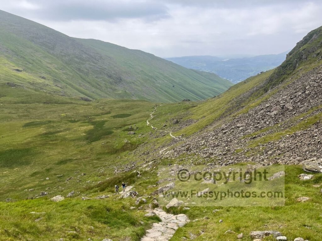
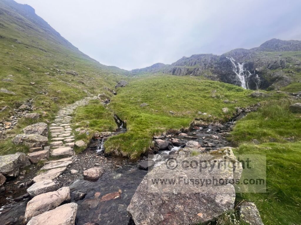
The trail downwards followed the beck, its water cascading before the gradient relented.
Lunch Stop at The Travellers Rest, Grasmere
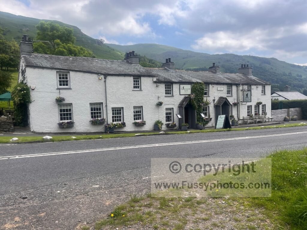
At the Traveller’s Rest, the staff were polite and welcoming; one waitress, an avid walker herself, shared trail stories with me. She brought plenty of water so I could refill my bottles again. Pricey, yes — but good food, relaxing décor, and one of the warmest welcomes of the entire journey.
Towards Grasmere Common via Easedale Beck
I still had eight miles remaining. After a late finish the previous night, I wanted a few hours of relaxation, so skipping the alternative route to Helm Crag wasn’t a difficult decision. My feet were aching again and the valley floor was humid.
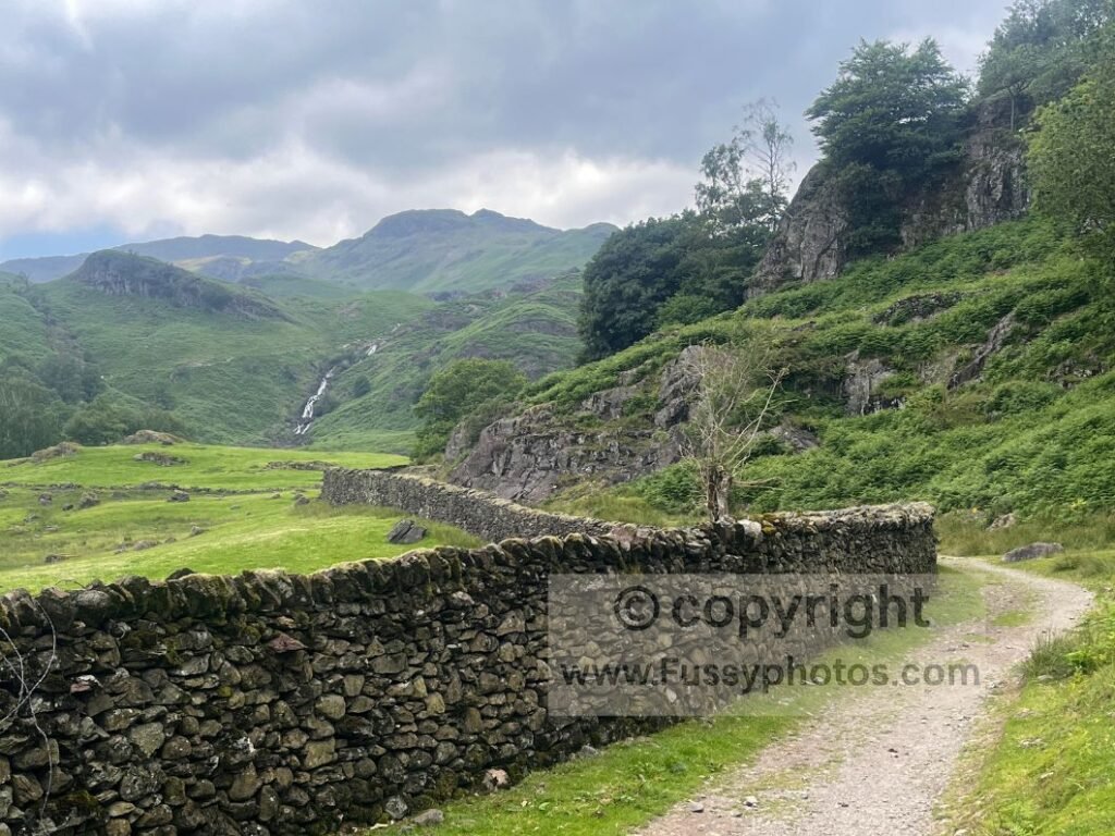
After a mile of road walking, the trail turned northwest towards Grasmere Common via Easedale Beck. Spotting a waterfall ahead — the heat, the greenery, the water — I felt a flash of excitement, hopeful the trail would stay close. The map revealed otherwise; this distant view was the best I’d get.
Heat Management and Cooling Strategies on the Easedale Beck Section
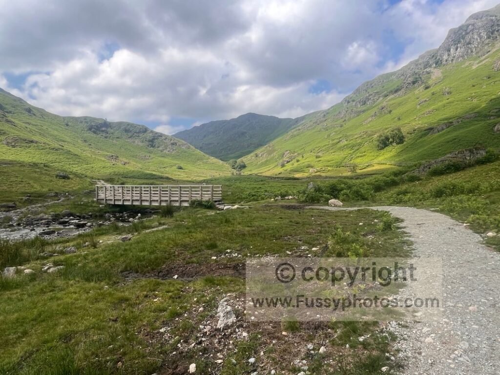
A gravel track follows the beck northwest before a wooden bridge crossing. I overheard a walker saying this stretch used to be a boggy nightmare until the much‑needed improvements. At the bridge, I soaked my feet, hat, and t‑shirt — a trick I learned in the Grand Canyon. The water cools you down and acts like sweat, reducing your own perspiration. Uncomfortable for 20 seconds, then bliss. I doubt many Lake District walkers have needed these measures.
A side trail split towards Easedale Tarn. I didn’t take it, though a day walker encouraged me, praising the waterfall on that route.
The Long Ascent to Greenup Edge
Towards Grasmere Common, the valley contracts sharply, ending at a steep former corrie backwall whose abrupt rise makes the transition unmistakable. Hot and tired, I mistook this for the final climb of the day. Here I passed the last of the eastbound walkers, many dipping their hats in the beck. Jealous of their lack of large backpacks, I dropped mine again and summoned the effort for one last push.
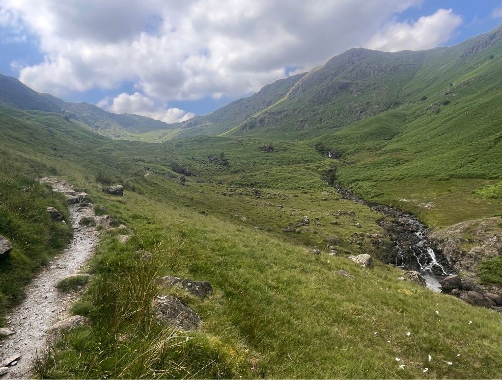
Clearing the backwall at around 400m, I saw the steep contours of Greenup Edge ahead — the contours revealing themselves like a plot twist nobody requested. I still didn’t putt two and two together. Paving stones offered brief respite, but it didn’t last. A descending biker confirmed the worst: the Coast to Coast climbs another 150m yet.
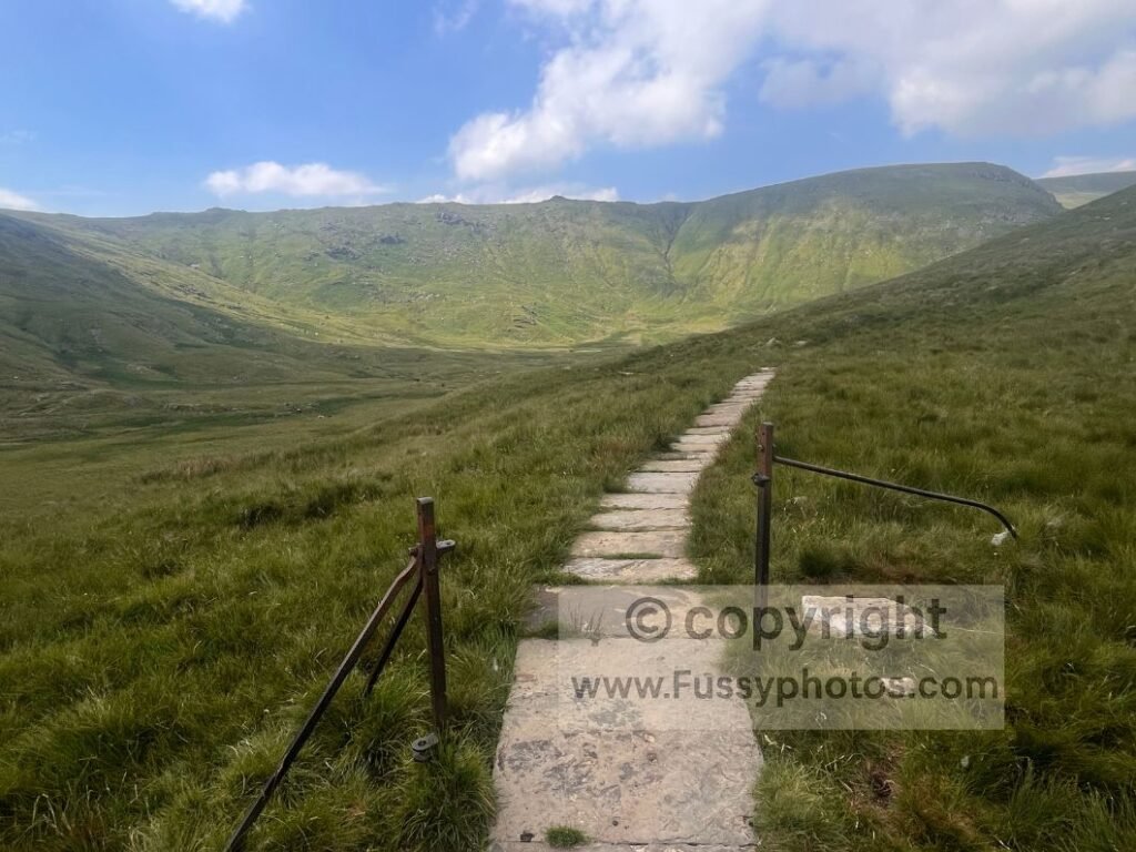
Normally I’d power through, but the cumulative effects of 90+ miles in 4.5 days were catching up. The air was cooler than Grasmere, but still hot. If someone had offered a baggage service right then, I’d have emptied my wallet.
If you’re wondering how this kind of cumulative fatigue compares to the toughest parts of the Coast to Coast, you’ll find a full breakdown in Is the Coast to Coast Hard?.
Three hours after leaving The Travellers Rest, the rocky plateau between Lining Crag and Greenup Edge appeared — good enough for another rest. Cairns and paving stones guided me to Lining Crag, where the descent steepened into a rough scramble, the trail dropping so sharply that I needed my hands for balance.
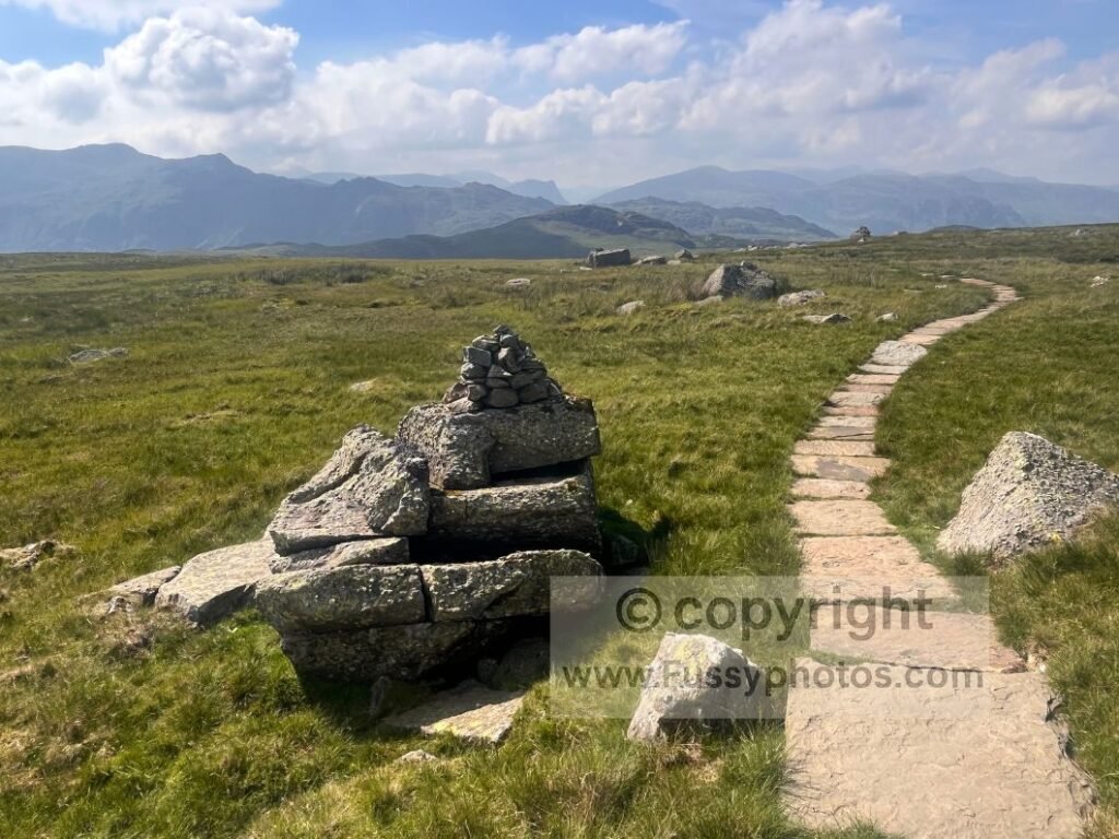
On such a busy walk, my thoughts turned to switchbacks — if ever there’s a place on the entire trail that needs them, it’s here: switchbacks being the Lake District’s most under‑represented minority.
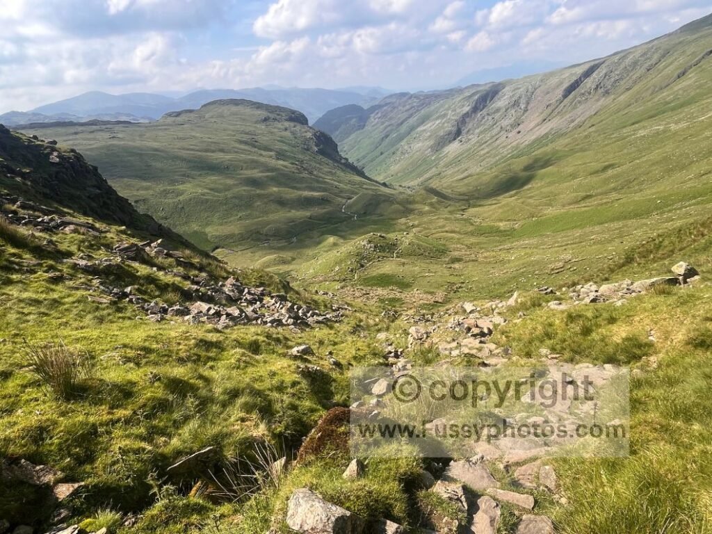
Beyond the crag, I looked back at the impossibly steep slope before feeling assured the worst was over. To the south, a large bowl‑shaped amphitheatre was punctuated only by hummocky moraine. Ahead, the U‑shaped valley appeared as attractive as any I’d seen so far — the payoff for all that scrambling.
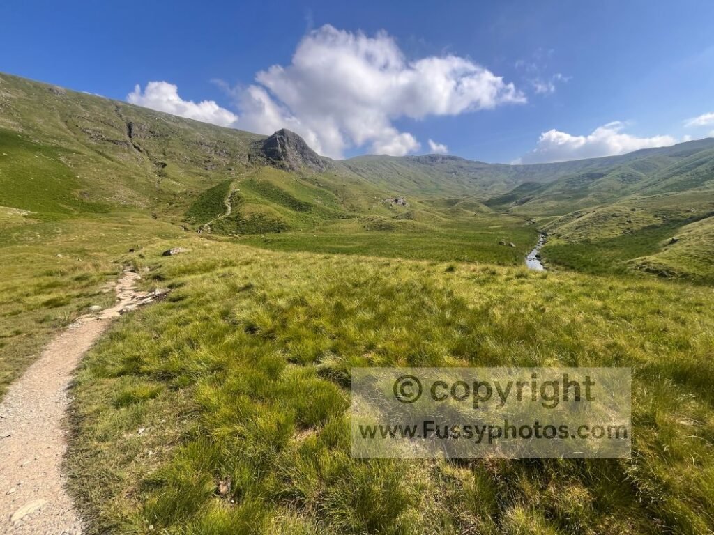
The descent remained rocky and slow, but the scenery was excellent. I pressed on as fast as my feet allowed, a disconnect growing between the enjoyment felt by my eyes and the complaints from my feet.
The Descent into Into Borrowdale
It’s a long 14.5‑mile stage (longer if you include the descent from Angle Tarn), and if I had my time again — and wasn’t watching the pennies — I’d recommend breaking it at Grasmere. You could even attempt that Helvellyn ascent if you’ve too much time on your hands.
If you’re shaping your own section walk or want to see the most practical ways to divide the route, see How to Split the Coast to Coast Into Sections.
Ironically, given my hotel reservation and the lack of large campsites since Keld, I passed two at the bottom of the valley. Stonethwaite Farm & Campsite looked ideal, its occupants gleefully cooling off in the beck — a live advert for better life choices.
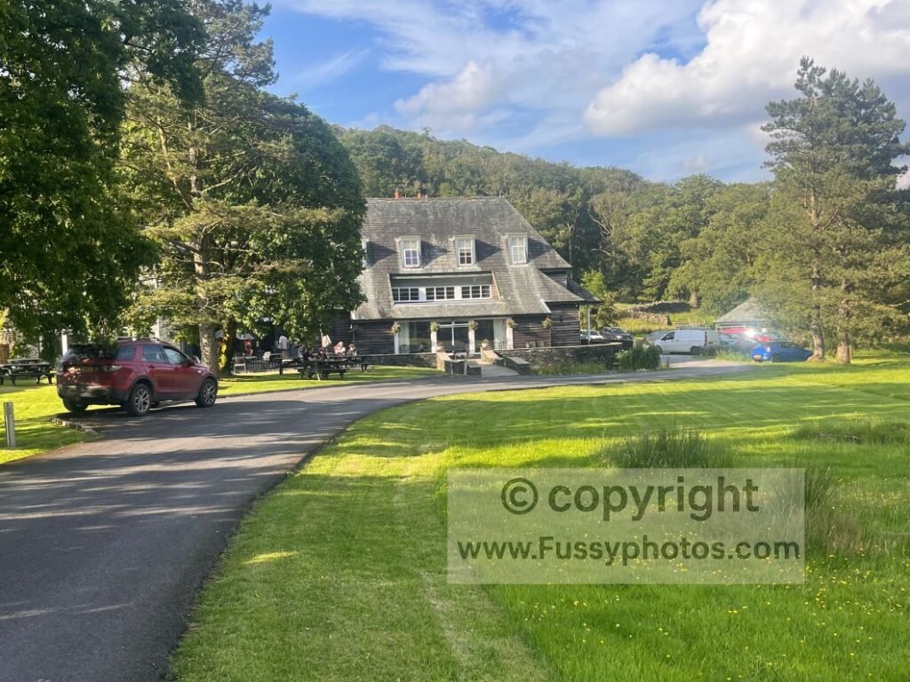
Out of water again, despite the refill in Grasmere, I pressed on towards my hotel — the pricey but very pleasant Glaramara Hotel, taking me beyond the official stage end at Rosthwaite.
Unexpected Encounter at Chapel House Farm Campsite
On route, I unwittingly passed the second campsite at Chapel House Farm. Tired, I wasn’t aware of its presence until a passing car stopped. My hopes rose — maybe a lift to avoid the final mile of road walking? No such luck. The driver asked if I was camping. I explained I’d been, but was booked into a hotel tonight. I asked if any water was available nearby, having run out an hour earlier.
His demeanour changed as he revealed himself to be the campground owner — perhaps reflecting frustration towards walkers who take water without asking. Initially unhelpful, he relented only after I showed him my empty bottle, directing me to the taps. I was grateful and would happily have paid, but the gesture was reluctant and left the wrong impression — discovering water apparently has a surcharge in one of the wettest regions in Britain.
I followed the public right of way to the road and eventually reached my hotel, enjoying a desperately needed shower and rare pleasure of drinking water without feeling I owed someone an apology for it.
Practical Tips for This Day
- Carry a water filter Streams are plentiful, but taps are unpredictable. A filter removes the stress of relying on hostels, B&Bs, or chance encounters.
- Expect closed facilities The Patterdale hostel and some B&Bs may be shut or slow to answer early. Don’t bank on them for water or toilets.
- Choose the village road Rejoining the route via the village road avoids the cattle‑field undulations and reduces horse‑fly exposure.
- Use stream crossings wisely Multiple crossings offer natural cooling points. Soak your hat or shirt if temperatures rise — it pays off later.
- Watch the weather on the approach to Grisedale Tarn Clouds can roll in even on clear forecasts. Visibility changes quickly, especially near the scree slope.
- Decide your Helvellyn detour early If you’re taking it, commit before Grisedale Tarn. Fatigue and heat make last‑minute decisions harder.
- Prepare for two climbs The corrie backwall is not the final ascent. Greenup Edge adds another 150m — mentally budget for both.
- Expect slow progress on Greenup Edge The rocky scramble near Lining Crag is hands‑on. Don’t rush; footing matters more than speed.
- Break the day at Grasmere if needed If 14.5 miles plus the Angle Tarn descent feels too much, Grasmere is the most logical split.
- Expect a long final stretch The Borrowdale descent is scenic but slow. Save energy for the last few miles, especially if continuing to Glaramara.
Continue to Day 9 on the Coast to Coast
Next →
Return to the Coast to Coast Hub
If you’re shaping your own itinerary — whether a thru‑walk or a flexible section walk — the hub page gathers every planning guide, highlight list and stage report.