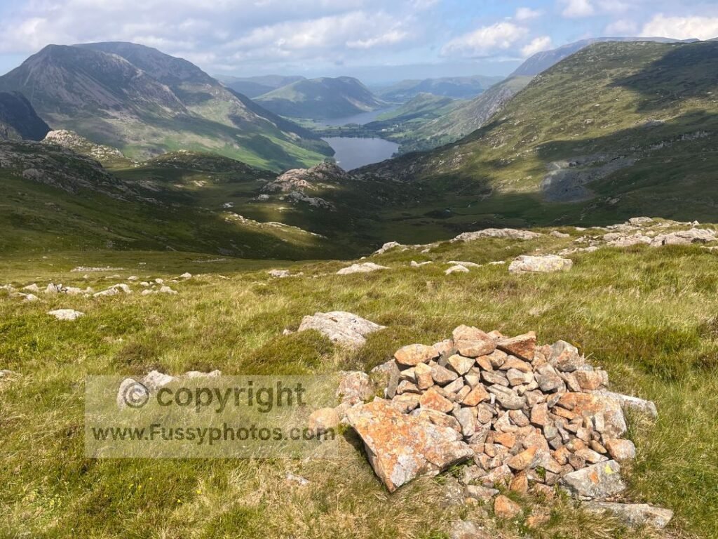
Overview of Day 9 – Rosthwaite to Ennerdale Bridge
Day 9 is a superb Lake District stage, beginning with a steady climb from Rosthwaite to Honister Slate Mine before crossing hanging valleys, glaciated basins, and the dramatic descent to Black Sail Hut. The long forestry track through Ennerdale is followed by a spectacular final stretch around Ennerdale Water — one of the most scenic endings to any C2C day.
Overview of Day
With the coastal section between St Bees and Saltom Bay temporarily closed due to landslips, the official Coast to Coast now begins with a short inland diversion via Pow Beck. Having walked the official route the entire 152.5 miles to this point, i felt to end on a diverted route would be somewhat of an anti-climax. The diversion removes the coastal walking entirely, replacing it with a functional link rather than a scenic stage. I didn’t want to end the C2C walking for the sake of walking, i wanted to enjoy those final miles. So i set off on day 9 with mixed feelings – either finish the trail via the diversion in one final 23 miles slog – something i was well capable of doing despite ongoing foot pain. Or, get to Ennerdale and return to finish the route another day. neither felt totally satisfactory, it would be great to finish that day. equally, i’d really enjoyed those initial coastal miles on the King Charles III Coastal Path/C2C and i wanted that same feeling to end my walk. so i set off from Rosthwaite still not totally sure where i’d end the day but i’d go with my gut feeling.
Coast to Coast (Reverse) — Stage Index
This guide is part of my reverse Coast to Coast series — you can follow every stage using the index below.
- Day 1: Robin Hood’s Bay → Egton Bridge
- Day 2: Egton Bridge → Charlton Bank
- Day 3: Charlton Bank – Danby Wiske
- Day 4: Danby Wiske – Richmond
- Day 5: Richmond – Reeth – Keld
- Day 6: Keld – Sunbiggin
- Day 7: Sunbiggin – Angle Tarn Camp
- Day 8: Angle Tarn to Rosthwaite
OS Map Extract: Rosthwaite → Ennerdale Bridge
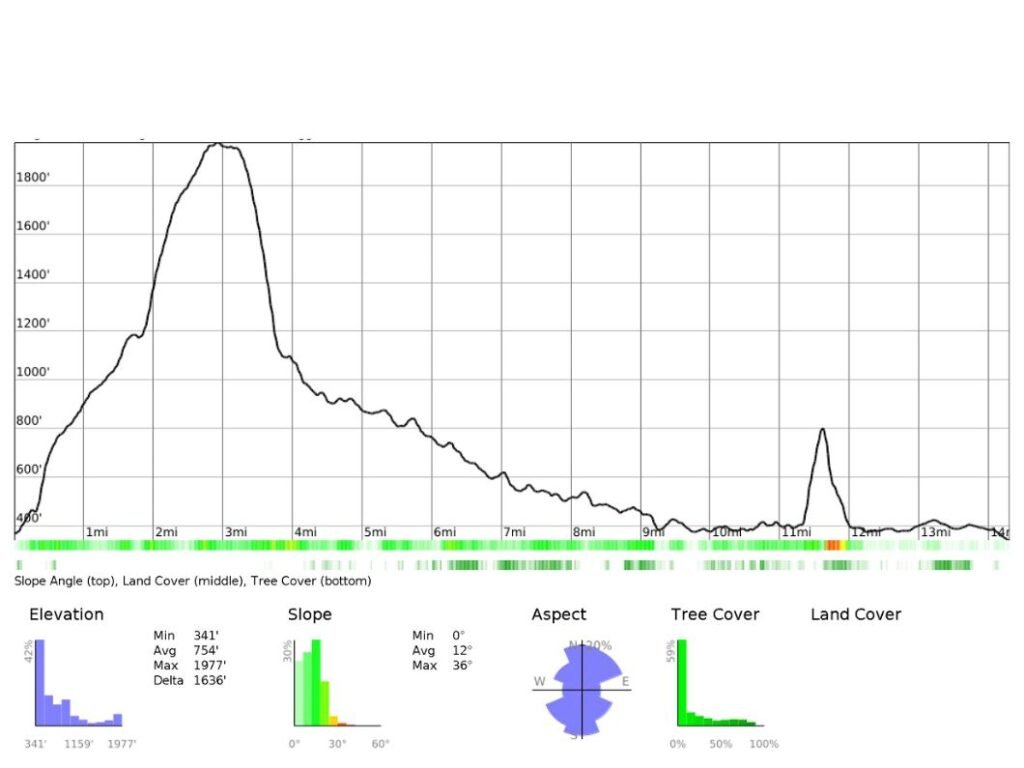
Elevation Profile: Day 9 – Rosthwaite → Ennerdale Bridge
Key Facts for Day 9
- Start: Rosthwaite
- Finish: Ennerdale Water / Ennerdale Bridge
- Distance: ~14 miles
- Ascent: 780m
- Descent: 800m
- Terrain: gravel paths, rocky climbs, hanging valleys, forestry tracks, lakeside undulations
- Highlights: Honister Pass, Grey Knotts, Haystacks, Fleetwith Pike, Loft Beck, Black Sail Hut, Ennerdale Water
- Facilities: Honister Slate Mine, Black Sail Hut (YHA), pubs at Ennerdale Bridge
- Difficulty: Moderate–hard
YouTube: Day 9 — Rosthwaite to Ennerdale Water
The Coast to Coast from Rosthwaite to Honister Pass
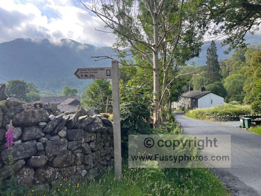
After indulging in a relative lie‑in and hotel breakfast, the day began with rejoining the trail — only a 2–5 minute walk from the hotel.
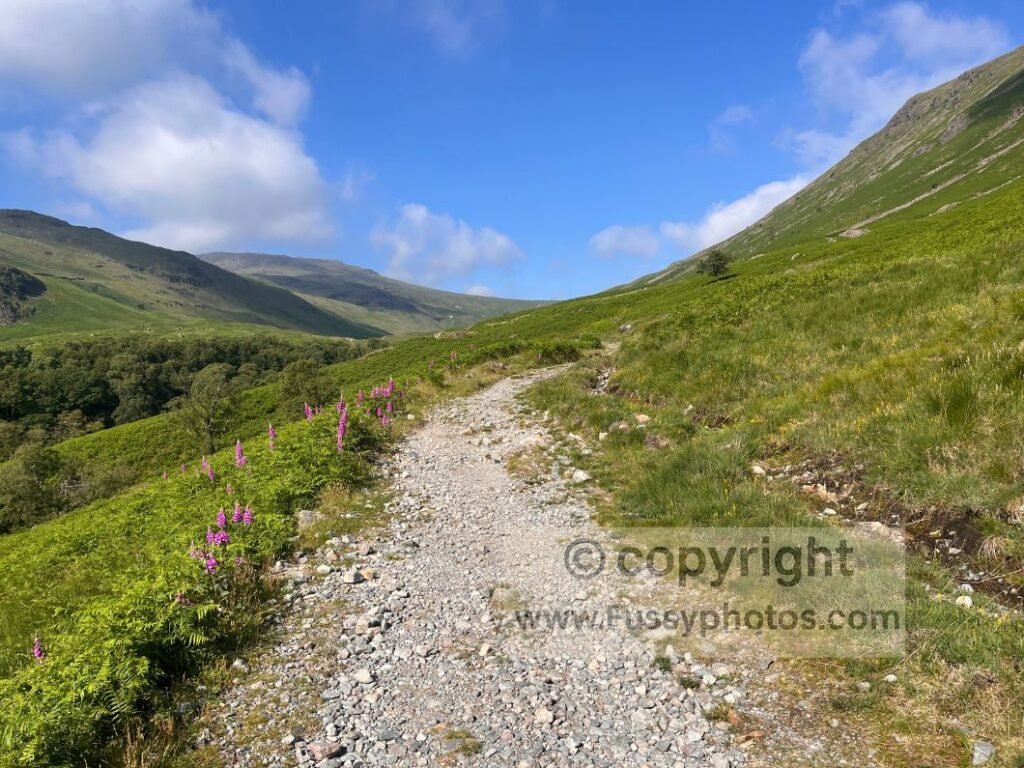
The trail began with an incline along a gravel path running parallel to the road to Honister. The valley immediately opened out, giving wide views towards Honister and back behind me.
The Warm Climb Towards Honister Slate Mine
I made slow progress in the heat, with the trail intermittently rejoining the road before diverging again for a few hundred metres. After a 220m elevation rise, I reached the turn‑off for Honister Slate Mine, venturing into the reception to have a look. There’s a café and toilets, which I didn’t use, as well as a few areas to sit outside.
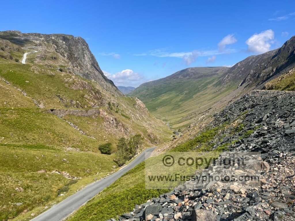
The direct view down Honister Pass is impressive — if you have the energy, follow the trail across the road northwest for a hundred metres or so for slightly better views. It’s a striking U‑shaped valley, though the road running straight through the middle slightly undermines the beauty for me.
Climbing Above Honister to Drum House
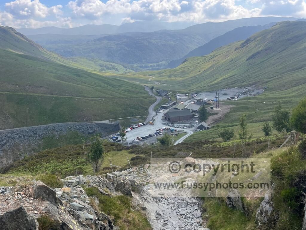
The C2C trail is signposted around the mine, leading up a steep rocky path with steps. The west–east view is the winner at this point, though the mine is undeniably a scar on the landscape.
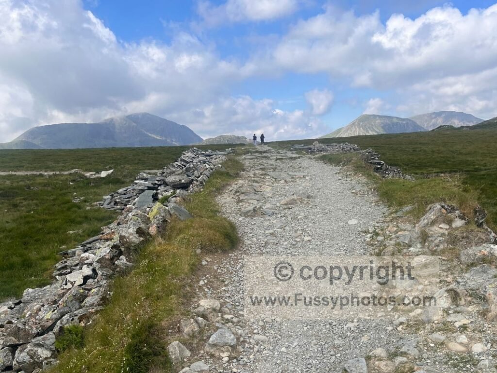
The trail flattens at a T‑junction called Drum House. Straight ahead leads to Haystacks via another of the Coast to Coast’s alternative routes. I followed the traditional route, turning southwards (and upwards) along the western slopes of Grey Knotts.
Hanging Valley and Big Views Towards Buttermere
This is an excellent section of trail, with a fantastic hanging valley giving a direct view of Buttermere and Crummock Water between Haystacks and Fleetwith Pike. I’ve since looked at photos online of this area and I’m so glad I caught it in good weather with great visibility – others didn’t.
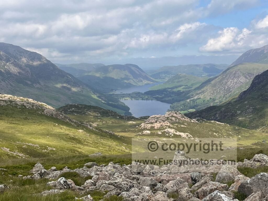
The trail continues upwards, parallel to the hanging valley, with the contours revealing another U‑shaped valley between Haystacks and Looking Stead. It’s an area I’d happily explore more — either with a backpack and tent or on a day walk.
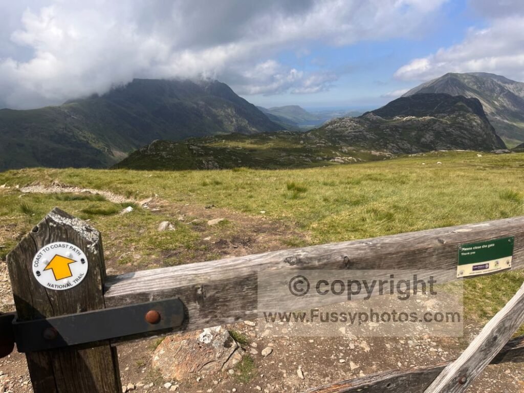
The Loft Beck Descent into the Glaciated Valley
Past a gate, the views to Crummock Water disappear, and steep stone steps descend parallel to Loft Beck into the final Lake District descent and the first real water source of the stage.
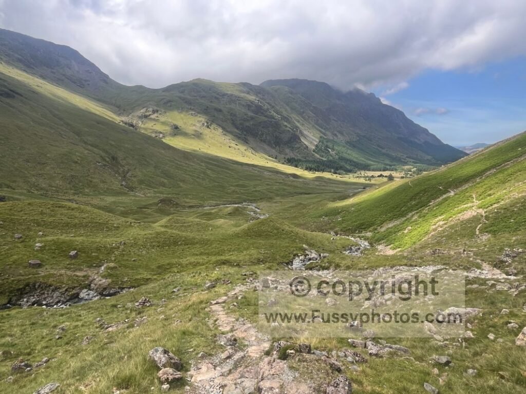
Black Sail Hut
After half an hour I was firmly in the U‑shaped valley, having lost a lot of elevation. The trail ran half a mile to Black Sail Hut, part of the YHA. There’s shelter, a communal kitchen, sockets for charging phones (honesty box), an outdoor seating area, and usually company. I chatted to a few walkers, filled my bottles, but didn’t stay too long.
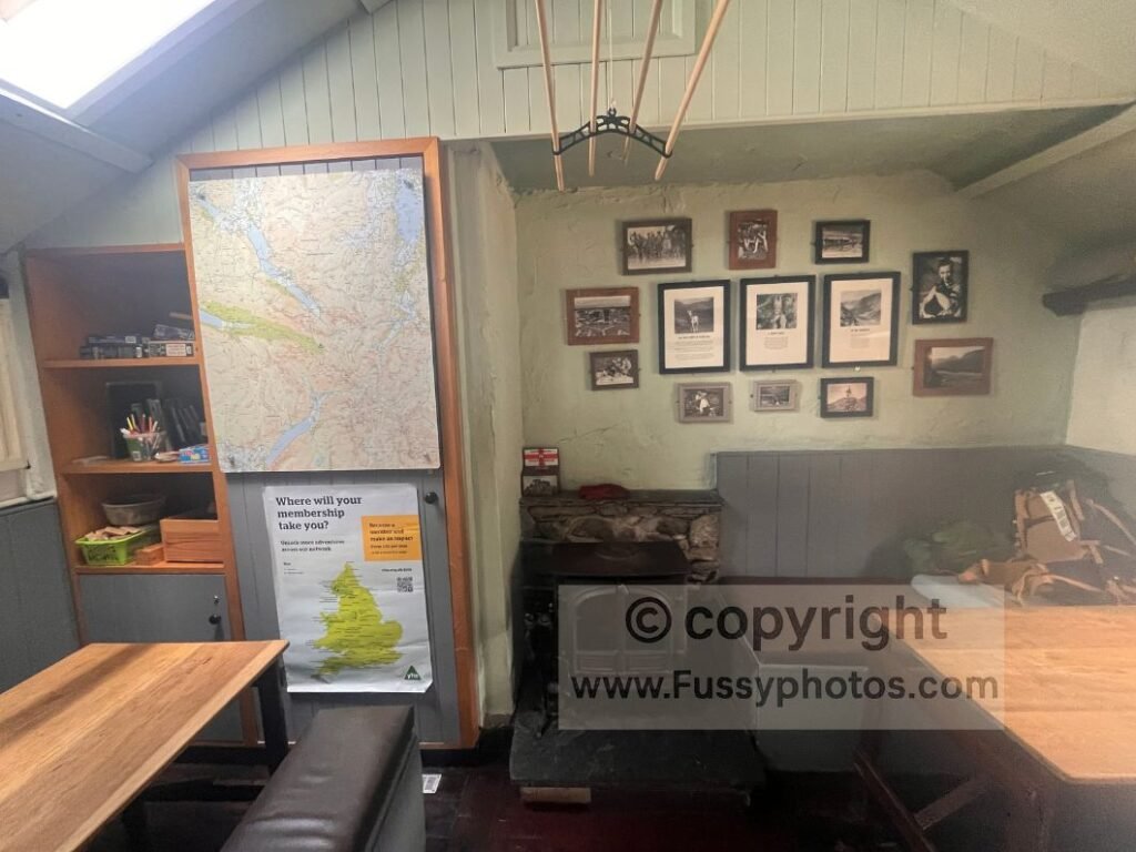
You can find more about the hut on the official YHA Black Sail page.
Into Ennerdale Forest and the Long Valley Descent
After leaving Black Sail Hut, I continued downwards into the impressive glaciated valley along a gravel road through Ennerdale Forest and its plantations. I enjoyed the first 2.5 miles or so of the 4.5‑mile forestry stretch — I’d encountered so little forestry across the Dales and Lake District that the shade and colour were welcome.
Every now and then, the land sloped away to the side of the road, revealing the River Liza contouring its way westwards — a gorgeous sight. I power‑walked through this section, despite my feet screaming in the heat and on the hard surface.
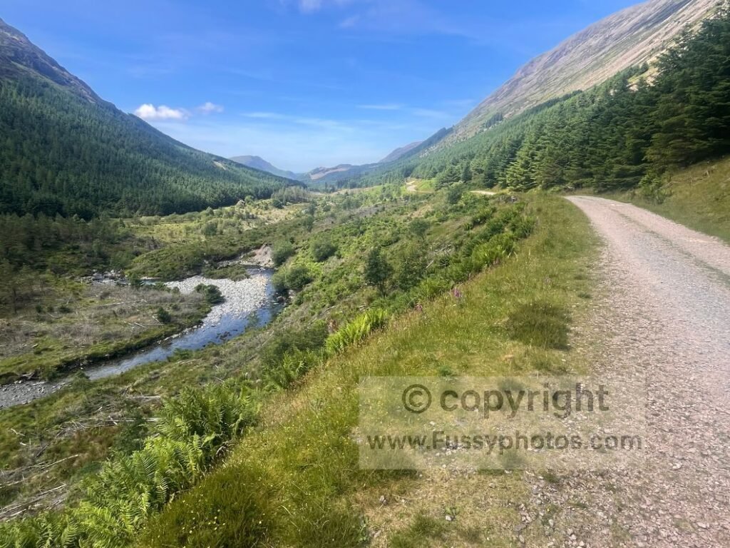
A trail sign showed Black Sail to be 2 miles behind me and Ennerdale Bridge still 7 miles ahead. Although I was looking forward to a pub stop, I was keen to see Ennerdale Water on route. I passed the second of the two youth hostels on this stretch, noting signs for another honesty box, but continued walking.
Choosing the Best Route Around Ennerdale Water: South Shore vs Bowness Knott
Finally, 4.5 miles from Black Sail, I reached another three‑way C2C trail junction. The northern option towards Bowness Knott offered a slightly shorter and flatter 4.5‑mile route. The southern option — via Robin Hood’s Chair and Angler’s Crag — is longer, harder, and more scenic. My guidebook assured me the extra effort was worth it, so I took the turn towards the south side of the reservoir.
Cooling Off at the River Liza
This turn immediately crossed the River Liza via a road bridge. I sat on the riverbank and cooled my feet — on fire after so much walking on hot, hard surfaces.
Somewhere along this stretch, either here or at Ennerdale Water, I made peace with finishing my thru‑walk (for the time being) at Ennerdale Water. More on that shortly.
First Views of Ennerdale Water
Leaving the river, the short walk to the southern edge gave the first real views of the impressive Ennerdale Water and Crag Fell towering over the reservoir. The trail was initially calm, flat, and grassy — easy on the feet and exactly what I needed.
Having now committed to a “mere” 14‑mile day, I took this reservoir section slowly, stopping multiple times to dip my feet and enjoy the calm serenity. A couple paddled a canoe across the water; otherwise, I enjoyed solitude and a lovely cooling breeze blowing across the water.
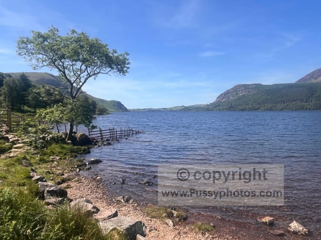
Robin Hood’s Chair and the Southern Shore of Ennerdale Water
The grass soon disappeared, and the trail around the southern perimeter undulated more than I’d have liked at this stage of my thru‑journey. Just before reaching Robin Hood’s Chair, the trail rises 30–40m above the water, offering superb panoramic views.
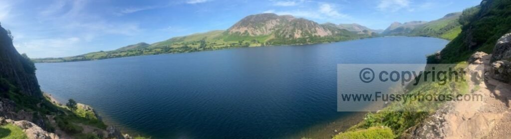
Just as I put my camera away, two fighter planes came hurtling around Robin Hood’s Chair, easily within 100m of me. So fast, I saw them before I heard them. They flew over the reservoir and over the route of the C2C, back towards Black Sail, Top‑Gun style — a glorious moment.
If you’d like to see where this Ennerdale Water traverse — along with the Honister Pass climb and the Buttermere and Crummock Water views earlier in the day — sits within the trail’s top ten standout moments, you’ll find it in my Top 10 Highlights of the Coast to Coast.
The Final Miles to Ennerdale Bridge
Beyond Robin Hood’s Chair, the trail drops to water level and the noise of swimmers at the western end of the water fills the air. The end of the reservoir marked a clear point of the walk for me — the end of the superb Lake District section — and it was surprising how quickly the mountains disappeared and the land levelled off.
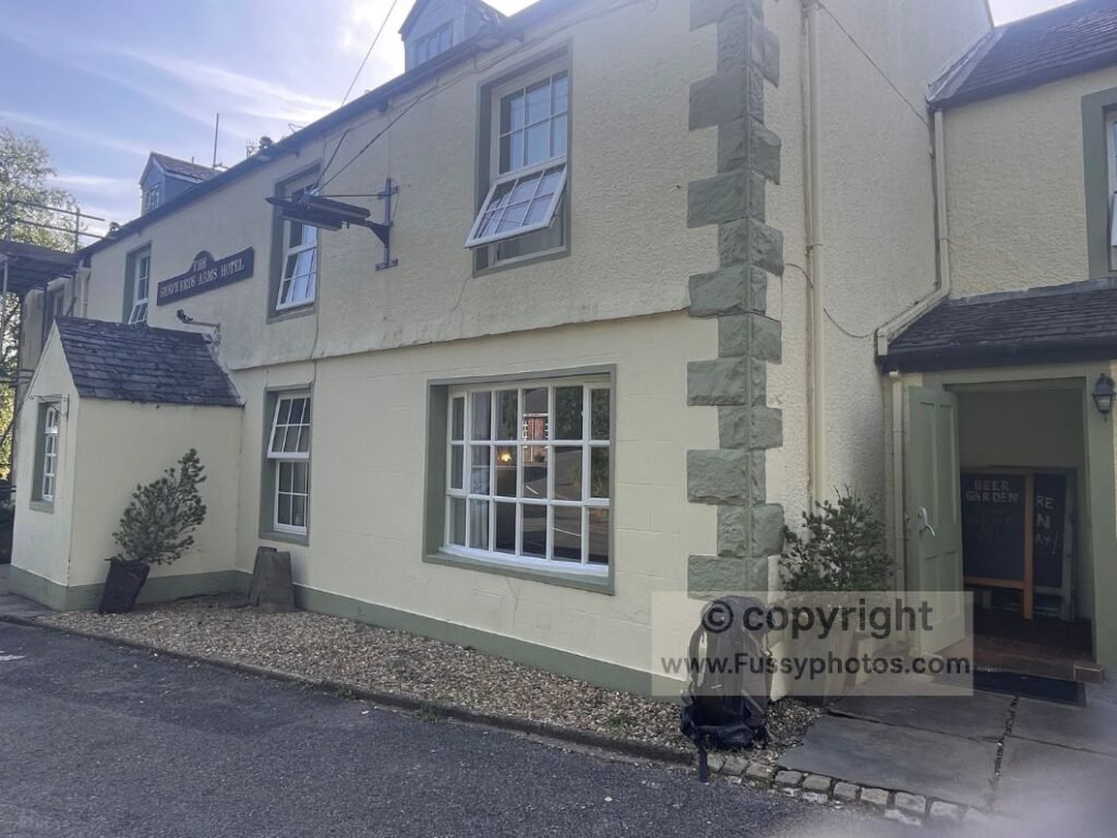
A final 1.2 miles of flat track and gravel trail took me to Ennerdale Bridge, where I noted there are two pubs. Book in advance if you want a room — I overheard a call to reception at the Shepherd’s Arms stating they were full for the night. My walking done for now, I enjoyed a drink and a complimentary newspaper, noting how much had happened since I last checked the news only a week ago.
Final Thoughts and Future Plans
Finishing the Official Route (For the short-term)
I walked every mile of the current official C2C route from east to west, finishing just short of St Bees where the temporary diversion begins. When the coastal path is repaired and reopened, I’ll return to walk the original St Bees section.
Since returning home, I’ve had a few thoughts on how I might do this. One option would be to get a taxi from a nearby train hub (St Bees/Whitehaven) and finish my east–west walk. Alternatively, it’s a long journey to Cumbria just for one day’s walking, so another possible option is to walk from St Bees to Ennerdale, completing the final stage in the traditional direction.
Walking the Final Stage in Reverse (the official direction)
Walking St Bees → Ennerdale perhaps won’t have the same epic feeling that an east–west walk would have had with a finish at the coast, but it’s still my walk. When you complete the route in stages rather than one long thru‑walk, you inevitably lose a little of that finishing‑line feeling that comes from completing the route in one stint.
However, St Bees → Ennerdale would allow me to continue inland without repeating old miles. I could veer off onto my own path, perhaps following:
- my own line across the Lakes
- the high‑level alternative to Haystacks from Ennerdale
- the Helvellyn alternative to Patterdale
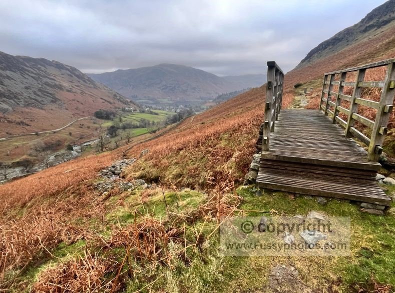
Either option would give me 3–4 days of new walking, exploring fresh trails in the Lake District.
Following in Wainwright’s Spirit
This approach follows in Wainwright’s spirit of finding connections between Britain’s millions of miles of right‑of‑way and open‑access land — something I’ve enjoyed doing many times before. It’s a chance to continue the journey in a way that feels authentic, personal, and connected to the landscape rather than constrained by temporary diversions. If you’re shaping your own Coast to Coast around time, mileage, direction, accommodation and how you want the walk to feel, you’ll find a full breakdown in How to Plan Your Best Coast to Coast Walk.
Practical Tips for Day 9
- Start early in hot weather — the climb to Honister is exposed.
- Honister Slate Mine has toilets, café, shade, and seating.
- Loft Beck descent is steep — take care on wet rock.
- Black Sail Hut is a perfect refill and rest point.
- Forestry section is long and hard on the feet — pace yourself.
- South side of Ennerdale Water is harder but far more scenic.
- Book Ennerdale Bridge accommodation early — it fills quickly.
- Foot cooling opportunities at River Liza and Ennerdale Water.
- Expect undulations around the southern lakeside path.
Silly FAQs for Day 9: Rosthwaite → Ennerdale Water
Is Honister really only 2–5 minutes from the hotel?
Yes — but only if you measure distance emotionally. In reality, it’s close enough that you can still hear people enjoying breakfast while you start sweating on the incline.
Is Honister Slate Mine worth popping into?
Absolutely. It’s the only place on the C2C where you can buy a souvenir and immediately question why you carried it up a hill.
Does the road through Honister Pass ruin the view?
Only if you’re a purist. Otherwise, it’s a handy reminder that civilisation still exists somewhere beyond the sweat and gravel.
Is the steep rocky path above Honister as bad as it looks?
It’s character‑building. Or leg‑destroying. Depends on your attitude and how many times you’ve already said “nearly there.”
Is Black Sail Hut really that remote?
Yes. If you forget your phone charger, you’ll have to explain to other walkers why you’re hovering near the honesty‑box sockets like a Victorian ghost.
Why is Ennerdale Forest so long?
Forestry planners apparently decided walkers needed time to reflect on their life choices. It’s scenic, shaded, and ideal for thinking about how much your feet hurt.
What’s so special about Robin Hood’s Chair?
It’s a rocky viewpoint named after a man who definitely never sat there. Still, the views are excellent, and occasionally fighter jets appear to reenact Top Gun.
Did two fighter jets really fly past you?
Yes. They arrived before the sound did, which is always a fun way to check whether your heart is still working.
Will finishing later at St Bees still count?
Of course. Wainwright would approve of any route that involves walking, independent thinking, and occasionally ignoring diversions.
Plan Your Coast to Coast Walk
Find every planning guide, highlight list and reverse‑direction stage report on the main Coast to Coast hub.