Why the Coast to Coast Has a Reputation for Being Hard
Distance and Elevation Add Up
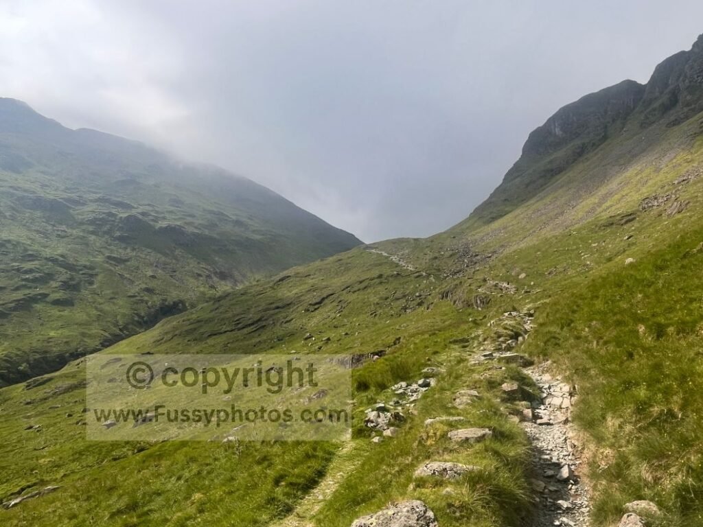
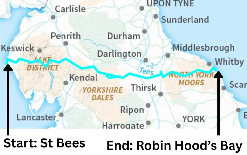
Walking the Coast to Coast has a reputation for being hard, and while it’s not the longest long‑distance trail in the UK, its 190 miles and roughly 8,500m of elevation gain are still enough to test most walkers. The challenge comes from cumulative distance, steady elevation gain, and the simple reality that day‑after‑day walking takes its toll.
Steep Mountain Passes in the Lake District
Some days in the Lake District involve 1,000m+ of ascent, and certain itineraries tackle two mountain passes in a single stage. These climbs are beautiful but demanding, especially if you’re carrying a full pack or walking in warm weather.
Weather Can Transform the Experience
In poor weather, everything feels harder: rocks become slippery, visibility drops, navigation slows, and morale can dip quickly. In good weather, the views lift your spirits and the perception of suffering decreases — the difference is remarkable. The Coast to Coast is a trail where conditions can make or break a day.
The Yorkshire Moors Can Be Wild and Weather‑Exposed
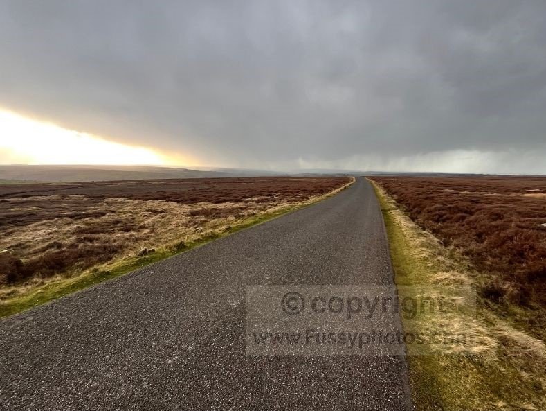
The Yorkshire Moors can be just as wild as the Lake District. On my own walk, I was soaked by a weather front on Day 1, then blown around like a feather in a wind tunnel for much of my stage across the Moors. But I was walking in spring, and in the reverse direction, straight into a 40–50mph headwind for two days. Most walkers tackle the Moors west to east, often in summer, with the heather in full purple bloom and the prevailing wind more likely to be at their backs.
For my full Day 1 write‑up — Coast to Coast Day 1: Robin Hood’s Bay → Egton Bridge: The Yorkshire Moors Can Be Wild and Weather‑Exposed — you can read the trip report here.
The Cleveland Hills Demand Steady Fitness
The Cleveland Hills undulate sharply and require a good level of fitness, but most walkers reach them after a week or more of steady mileage, meaning their fitness has grown naturally. They’re beautiful, but they’re not a free ride — the repeated ascents and descents can feel relentless if you’re carrying a heavy pack or walking in hot weather.
Not as Boggy as the Pennine Way — But Still Challenging
While the Coast to Coast isn’t the bog‑fest the Pennine Way can be in wet weather, it still crosses isolated, marshy stretches. The difference is that total distance and elevation gain are lower, and there are far more frequent villages, food stops, and accommodation options. This makes it easier to escape poor weather, recover properly, and avoid the isolation that can make the Pennine Way feel tougher.
Pack weight also plays a major role — a heavier pack will make steep passes significantly harder. I outline the full pros and cons of camping vs accommodation in my How to Pack for C2C: Campers vs B&B Walkers.
Direction of Travel Changes When the Hard Parts Hit
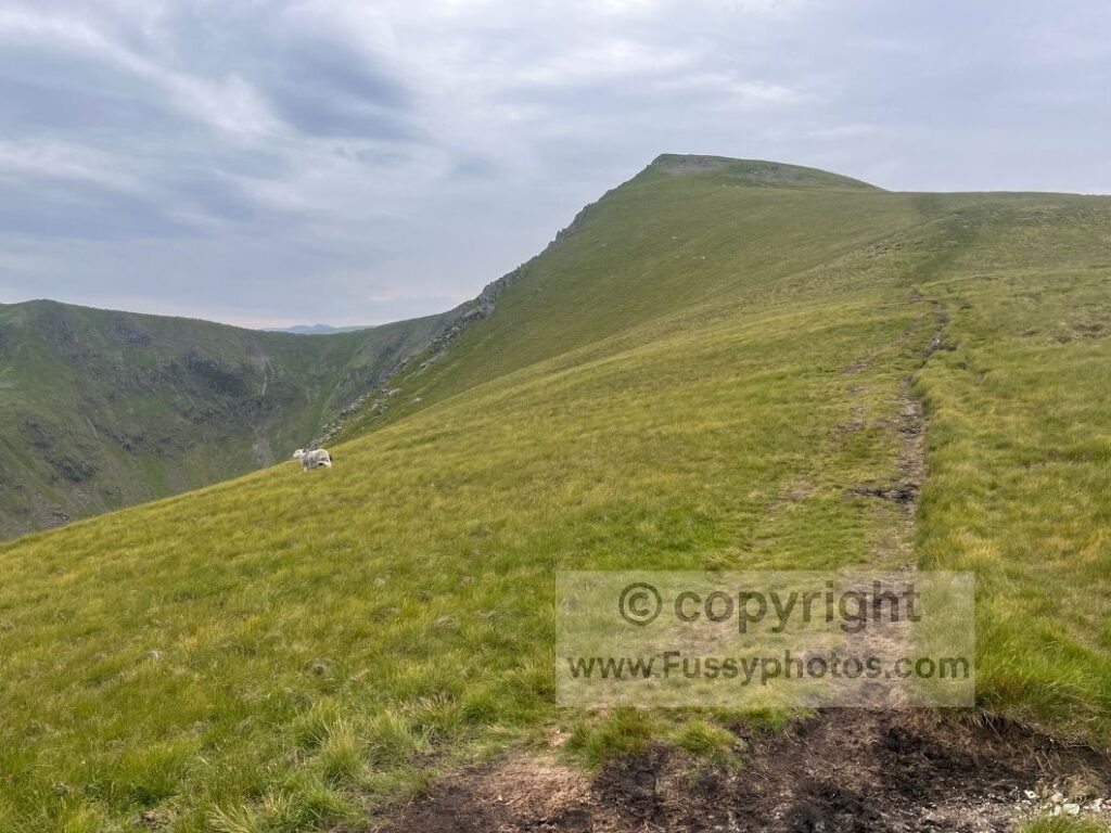
Daily mileage and direction of travel also shape how hard the trail feels. Walking west to east is conventional, but walking east to west changes when you encounter the steepest terrain. I walked the trail in reverse, meaning I hit Kidsty Pike 17 miles into my fourth consecutive day of walking more than a stage per day — a very different experience to tackling it fresh at the start of the day.
For the full story of that long, hard push — including the Kidsty Pike ascent — you can read my Day 7 trip report here: Coast to Coast Day 7: Sunbiggin – Angle Tarn Camp.
Later in this guide, I outline strategies to make the Coast to Coast easier, including breaking long days into two, walking in stages, using baggage transfer, taking easier alternative routes, filtering water, and choosing not to camp.
Watch: Is the Coast to Coast Hard? How to Make It Easier

The Hardest Sections of the Coast to Coast Path (And Why They Feel Hard)
How hard a section feels varies from person to person and depends on factors like weather, pack weight, direction of travel, and how far you’ve already walked. Weather can transform a stage completely. On Day 6 of my thru‑walk (Keld → Sunbiggin), I met a walker who had crossed the Lake District in five days of rain, while I had tackled the Vale of Mowbray in a heatwave that lingered into my Lakes traverse — two entirely different experiences.
Taken in isolation, these are the sections I consider the hardest:
1. Rosthwaite → Patterdale
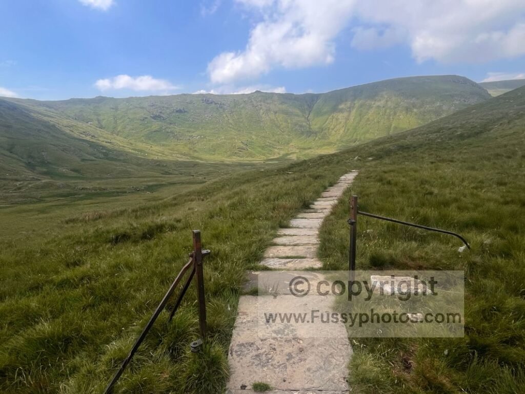
At just 14.6 miles, it’s far from the longest stage, but with 1,100m of elevation gain and two mountain passes, it’s a tough day — especially with a big backpack, tent, and a day’s supply of water. Walking in reverse, I found the ascent to Grisedale Tarn manageable, and descending Little Tongue was easier than climbing it. But the ascent from Grasmere to Greenup Edge was long, hot, and harder than expected. In the conventional direction, the main challenges are Rosthwaite → Greenup Edge and Grasmere → Grisedale Tarn. Consider breaking this stage with an overnight stop in Grasmere.
2. Patterdale → Shap
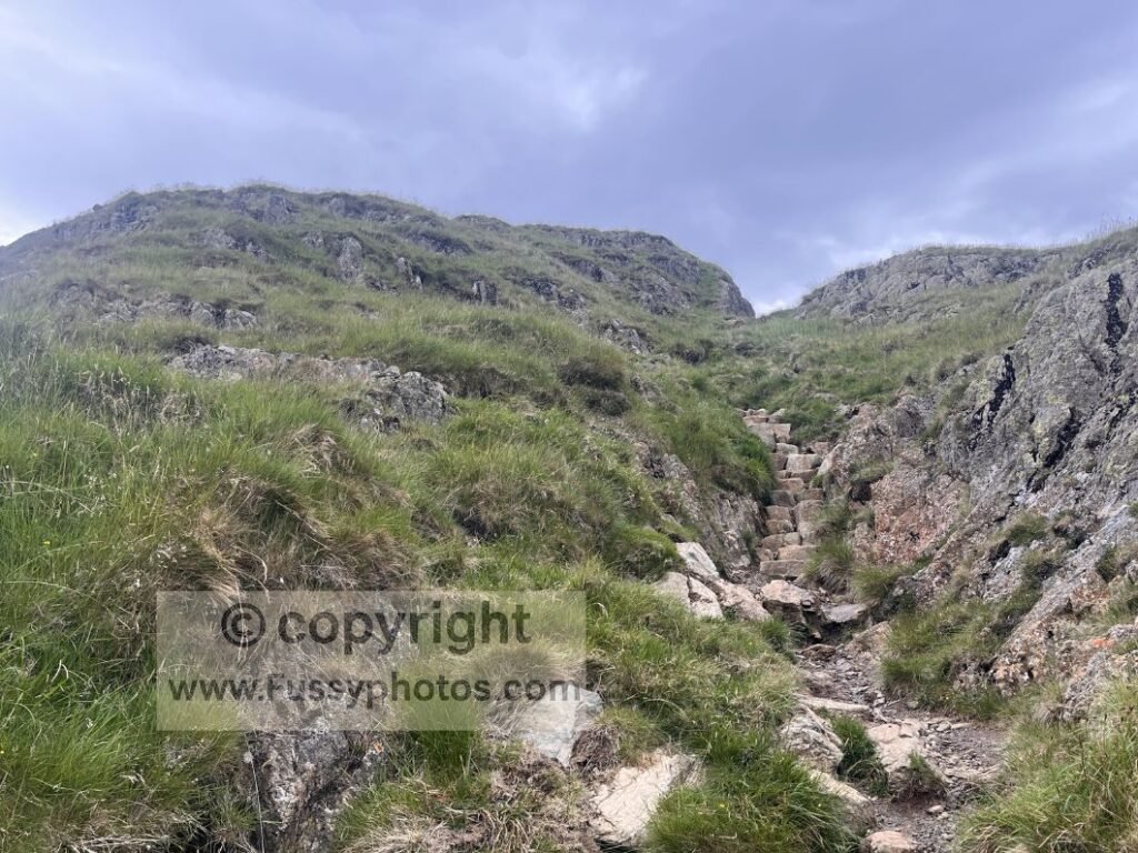
Kidsty Pike (780m) is the highest point on the Coast to Coast. Although the Pennine Way has three higher summits, I found the gradient to Kidsty Pike steeper than Cross Fell (893m) or The Cheviot (815m), both of which are on the Pennine Way. Walking east–west, the ascent from Haweswater was manageable, but the climb to Kidsty Howes took me 45 minutes to cover just 0.6 miles — and this was 17.5 miles into a 22.5‑mile day. For conventional walkers, the climb comes early in the day when you’re fresh, and the stage to Shap is a more manageable 15 miles. one of my top 10 highlights on the coast to coast walk, it’s a glorious end to the Lake District section, but a hard one.
If you’re weighing up how the Coast to Coast compares to the Pennine Way — in steepness, gradient, remoteness and overall difficulty — you’ll find a full breakdown in Pennine Way vs Coast to Coast: How to Choose.
3. Clay Bank Top → Glaisdale
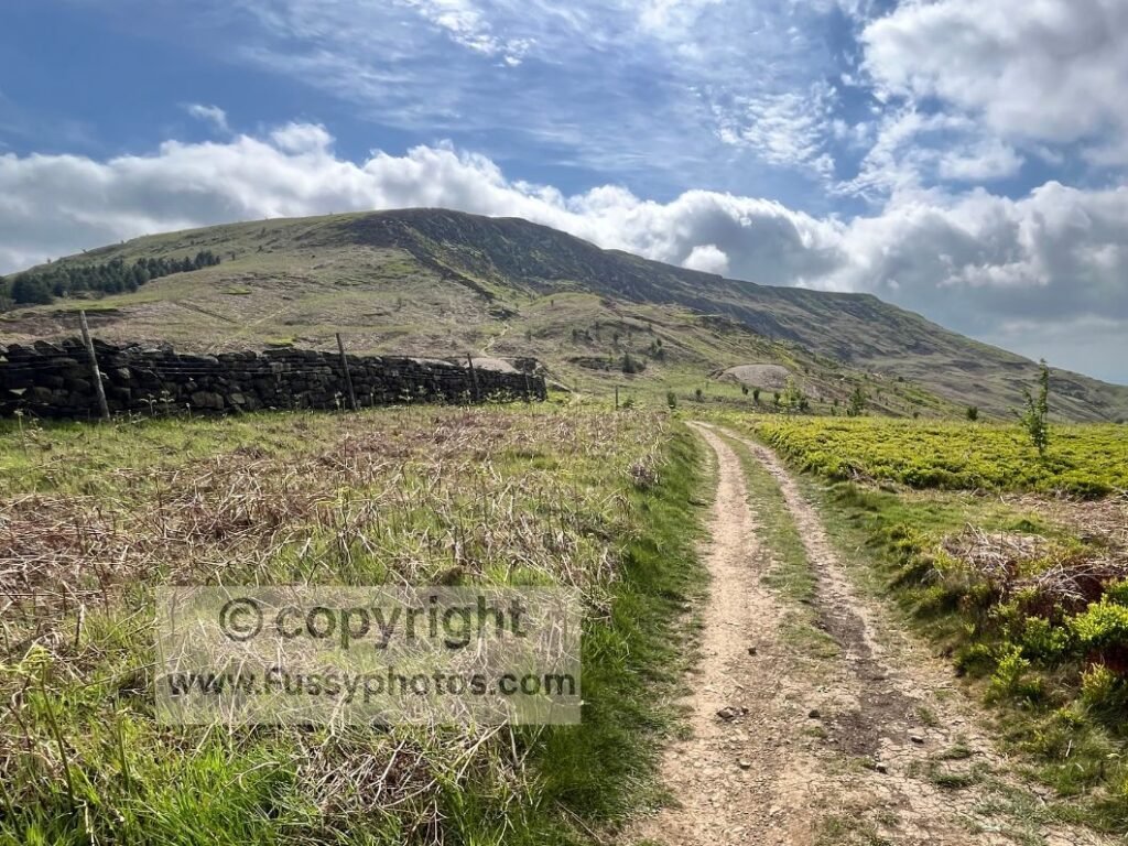
The Cleveland Hills involve constant up‑and‑down walking. I found the five miles between Bloworth Crossing and The Lion Inn mentally tough — two hours of monotony — though many walkers enjoy this stretch. From The Lion Inn to Glaisdale, the moorland is pretty when in bloom, but includes more road walking than I’d like. It’s a long 18‑mile day, but not as hard as the Lake District stages.
Other worthy contenders
- Ennerdale Bridge → Rosthwaite — long road walking and a tough ascent to Drum House, but only 11 miles and 550m of ascent.
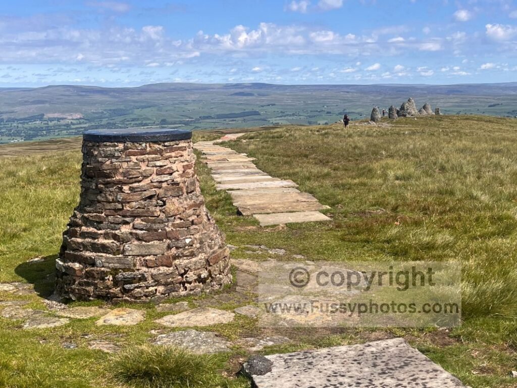
- Kirkby Stephen → Keld — just 11 miles, but the ascent to Nine Standards Rigg is a 3.5‑mile non‑stop climb. The moorland across Birkdale Common is boggy, even in a heatwave, though paving stones help. You also have three route choices, allowing you to pick the best line for the conditions.
What Makes the Coast to Coast Easier Than People Expect
Despite its reputation, the Coast to Coast is not as hard as many imagine. It’s long, yes, and the Lakes are demanding, but the trail offers conveniences that make it far more accessible than other UK routes.
Navigation
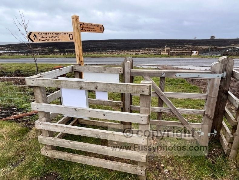
Signage is generally clear and frequent, especially for west–east walkers. I found the waymarking across North Yorkshire particularly consistent, and the likelihood of a wrong turn relatively low. The trail is popular, so there are often walkers ahead or behind to reassure you if you’re unsure.
Frequent villages & regular food stops
The trail feels designed with convenience in mind. Most stages pass through villages with accommodation and food options. Even though I carried my own food and stove to save money and enjoy independence, many days offered the chance to buy three meals — though your waistline and wallet may suffer. Because the trail is so popular, infrastructure has grown around it. I often ignored guidebook stages and walked as far as I felt like before pitching my tent or arranging a last‑minute room — though this does risk places being full.
Shorter day options
Frequent settlements mean you can break long days into two. Grasmere splits the tough Rosthwaite → Patterdale stage, and Orton (slightly off‑route) breaks the Shap → Kirkby Stephen stretch, which some walkers find overwhelming.
How to Make the Coast to Coast Easier (Practical Strategies)
Take rest days
Itineraries vary widely. I walked the trail in 10 days, my guidebook suggests 12, and a 10‑mile‑per‑day itinerary would take 19 days. Rest days give your body and mind a break, help you sit out poor weather, and let you enjoy attractions like Richmond Castle or the Grosmont Steam Railway. One couple I met took a boat trip on Ullswater from Patterdale, then skipped the next stage entirely by taking a bus to Shap. Traditionalists may object, but it’s your walk.
Break long days into two
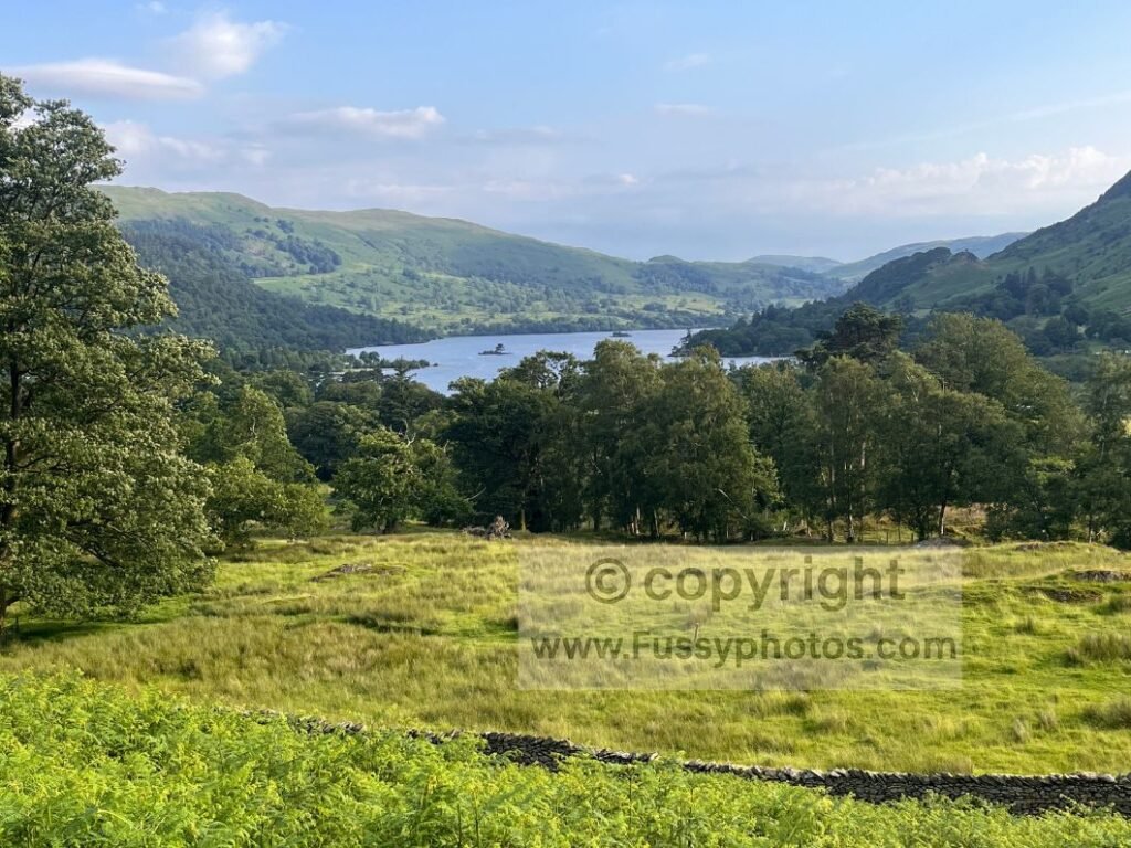
A walker near Nine Standards Rigg suggested I take a rest day when I said I was tired. I didn’t — tight schedule, and I didn’t fancy sitting in a hotel all day — but breaking long days is a great compromise. Many walkers already do this: Grasmere breaks the Rosthwaite → Patterdale stage, and Orton breaks Shap → Kirkby Stephen. Accommodation is abundant, and detouring slightly is fine.
Use baggage transfer
This is expensive, and I’ve never used it, but many walkers do. It’s simple: your main pack is moved ahead each morning, and you walk with a light daypack. This makes climbs like Ennerdale, Loft Beck, and Kidsty Pike far easier. It also helps on long days like Shap → Kirkby Stephen and the repeated ascents of the Cleveland Hills.
Don’t camp
Not camping makes the walk physically easier: no heavy camping gear, guaranteed hot showers, proper beds, and drying rooms. Walking with a light daypack makes stages like Patterdale → Shap and the Cleveland Hills noticeably more comfortable. That said, I camped and loved the freedom, flexibility, and lower cost — but it does mean carrying more weight and occasionally walking further to find a suitable pitch.
Filter water
Filtering water is useful but comes with trade‑offs. UK farmland means contamination risks, so I’ve always been cautious. I carried most of my water, which meant walking with an extra 2–4kg on steep days like Loft Beck, Kidsty Pike, and the long haul into Kirkby Stephen. Still, many walkers filter safely, and it would have saved me when I ran out descending Greenup Edge to Rosthwaite, despite streams everywhere.
Take the easier alternative routes
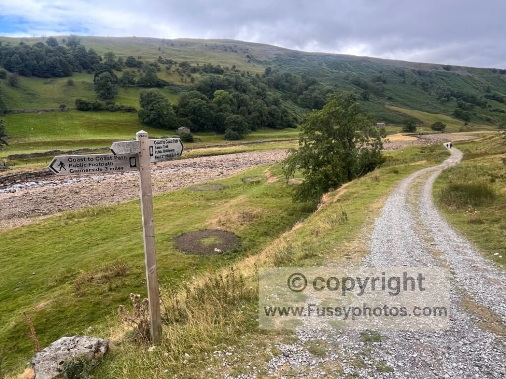
The C2C offers smart variations that save your legs without reducing the experience. You can take the low Swaledale valley route instead of the steeper mining route above Gunnerside Gill, choose the summer Whitsundale Beck line instead of the bog‑heavy winter route on Nine Standards, or follow the Black Sail valley instead of the full High Stile ridge. Many walkers repeat the C2C, and trying alternative lines — or walking the trail in reverse — keeps it fresh and offers new viewpoints and rhythms.
If you want a clearer breakdown of the Swaledale choice — including how the high‑level mining route compares to the gentler riverside alternative — see Keld High‑Level vs Low‑Level Route: How to Choose.
Walk in stages
Walking the C2C in sections is perfectly viable and was even suggested by Wainwright. It fits around work and family life, lets you choose good weather windows, and keeps the experience enjoyable rather than punishing. The trail crosses three weather systems — Atlantic storms in the Lakes, Pennine weather around Nine Standards, and North Sea winds near Robin Hood’s Bay — and section walking lets you pick the best days for each. It also reduces fatigue, especially because the C2C front‑loads its hardest terrain. Starting each chunk fresh makes the Lakes, Shap → Kirkby Stephen, and Nine Standards feel far more manageable. It also lets you test kit gradually and adjust boots, packs, or camping gear between visits.
And on a personal level, I’ve found there’s a natural limit to how long I enjoy being on a long‑distance trail in one continuous push. After about five to seven days, my enthusiasm starts to dip — not because I’m tired of the walk, but because the mental freshness that makes each day enjoyable begins to fade. At that point, I’d rather step off the trail, head home, reset, and return when my motivation is back at its peak. Section walking gives you the freedom to do exactly that: stay excited, stay sharp, and avoid the point where the miles start to feel like a chore rather than a privilege.
If you’re shaping your own section‑walk or planning where to break the route, see How to Split the Coast to Coast Into Stages. And if you need the best entry and exit points for each chunk, see Coast to Coast Transport: How to Reach Every Stage.
How Fit Do I Have to Be to Walk the Coast to Coast?
You don’t need elite fitness to walk the Coast to Coast, but you do need a solid baseline of stamina — especially because the trail front‑loads its toughest elevation in the Lake District and again at Nine Standards Rigg. New long‑distance walkers often struggle with day‑after‑day repetition, people unused to ascent feel the strain on climbs like Loft Beck, Grisedale, and Kidsty Pike, and anyone carrying a full camping pack will quickly notice how extra weight turns a steady day into a hard one. Tight schedules can also make the trail tougher than it needs to be, forcing long mileage without recovery.
The good news is that the C2C offers plenty of ways to make things easier: you can walk in stages to avoid cumulative fatigue, break long days into two, take easier alternative routes, use baggage transfer, filter water to avoid carrying extra kilos, or simply not camp if you prefer the comfort of B&Bs. And if you’re worried about hitting the steep Lake District terrain too early, many repeat walkers keep the trail fresh by walking it in reverse, building fitness across the gentler eastern miles before tackling the big climbs later. With sensible choices, most reasonably fit walkers — even first‑timers — can complete the Coast to Coast and enjoy every region along the way.
Final Thoughts: Hard Enough to Be Memorable, Easy Enough to Be Achievable
The Coast to Coast is challenging enough to feel like a genuine achievement, yet accessible enough that most reasonably fit walkers can complete it with the right approach. Its difficulty is part of the appeal: the steep passes, wild weather, and long days create the stories you’ll remember for years. But its convenience — frequent villages, clear signage, flexible itineraries, and multiple route options — means you can shape the walk to suit your ability, your schedule, and your preferred style of adventure. With thoughtful planning, a bit of resilience, and a willingness to adapt, the Coast to Coast becomes not just a hard walk, but a deeply rewarding one.
If you’re shaping your own itinerary and want a full breakdown of how to match the walk to your time, fitness, direction and daily mileage, see How to Plan Your Best Coast to Coast Walk.
Return to the Coast to Coast Hub
All Coast to Coast guides, highlights and stage reports are collected on the main hub page.