Pennine Way vs Coast to Coast: Decide Your Next UK Walk
The Pennine Way and the Coast to Coast are two of the UK’s premier long‑distance trails. Each passes through three national parks, attracting walkers from across the UK and internationally. If you’ve never walked either route, this side‑by‑side comparison will help you decide which trail to tackle first.
The Routes
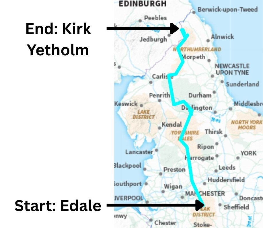
The Pennine Way begins in Edale, zig‑zagging north through the Peak District, Yorkshire Dales, North Pennines, and Northumberland National Park, before finishing in Kirk Yetholm just over the Scottish border. It follows the spine of the Pennines, staying high, remote, and exposed for much of its 268 miles.
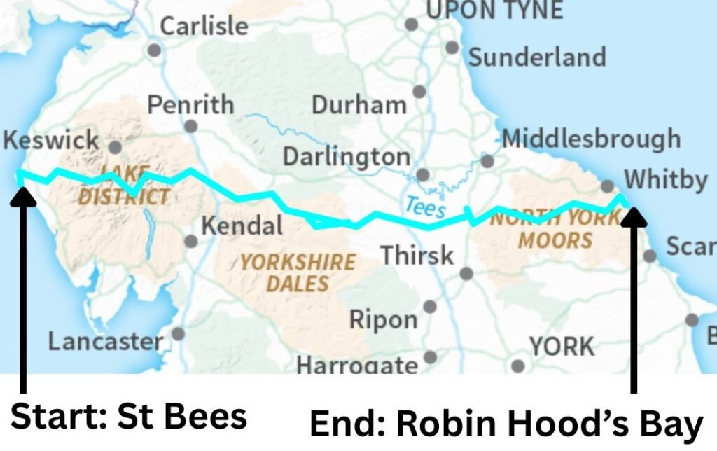
The Coast to Coast starts at St Bees on the Cumbrian coast and heads east across the Lake District, the western edge of the Pennines, the Yorkshire Dales, the Vale of Mowbray, the Cleveland Hills, and the North York Moors, finishing at Robin Hood’s Bay on the North Sea. It offers a more varied journey, moving from mountains to farmland to moorland and finally coastal cliffs.
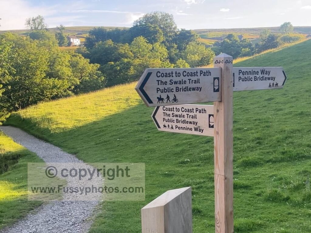
The two routes intersect at Keld in the northern Yorkshire Dales, where Pennine Way walkers pass north–south and Coast to Coast walkers pass west–east.
Distances
- Pennine Way: 268 miles
- Coast to Coast: 190 miles
Elevation Gain
Estimates vary, but the Pennine Way has over 11,500m of ascent, while the Coast to Coast gains around 8,000m.
Watch Coast to Coast vs Pennine Way: The Real Differences Explained
This video breaks down the Coast to Coast and the Pennine Way in detail, covering trail traffic, logistics, terrain, navigation, and what each route genuinely feels like to walk.

What Each Walk Feels Like
Trail Personality: Remoteness vs Variety
The Pennine Way is defined by remoteness, exposure, and endurance. The Coast to Coast is defined by variety, villages, and mountain highlights concentrated in the west.
Trail Traffic: How Busy Each Walk Feels
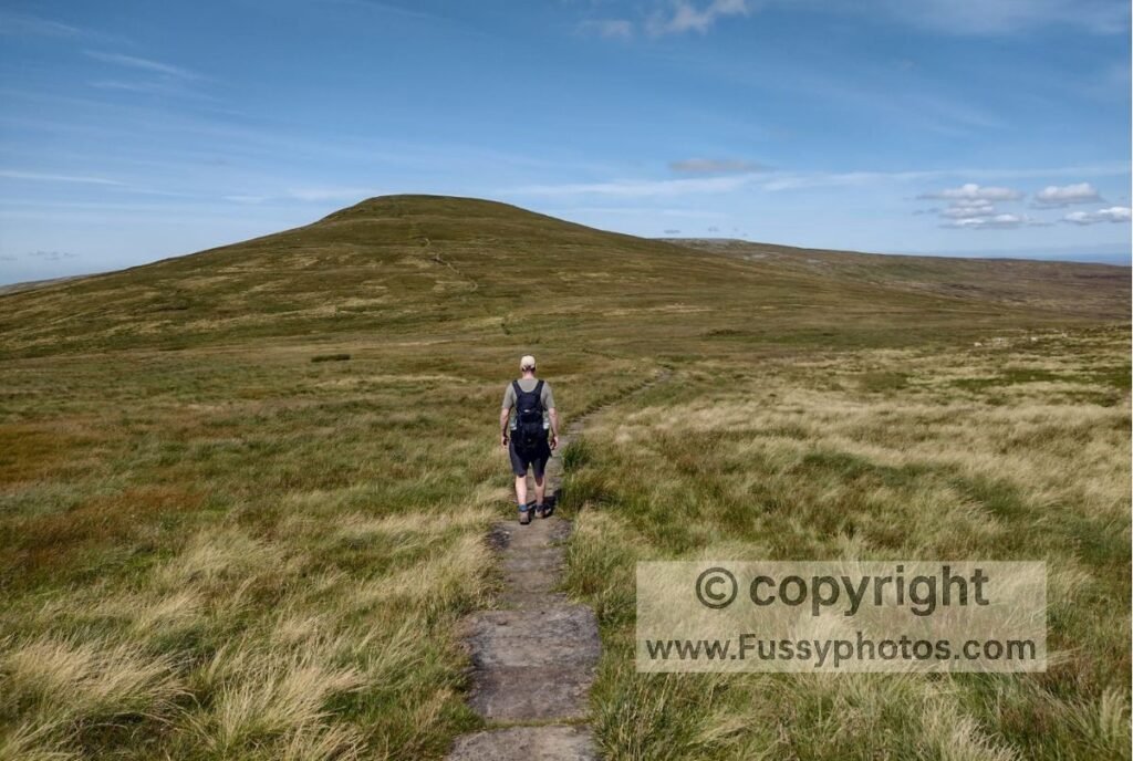
Around 3,500 people are said to complete the Pennine Way each year, compared to 6,000 on the Coast to Coast. I’ll be honest: I sometimes question whether that 3,500 figure is a little high — the Pennine Way often feels far quieter than the numbers suggest, especially once you’re beyond the day‑walker hotspots. In reality, the C2C feels noticeably busier, particularly in the Lake District and the Cleveland Hills. The Pennine Way also has busy sections — Edale, Malham, High Force, and Hadrian’s Wall — but once you leave these behind, the trail quickly returns to its usual quiet, remote character.
Crossing the Yorkshire Dales: Two Different Directions
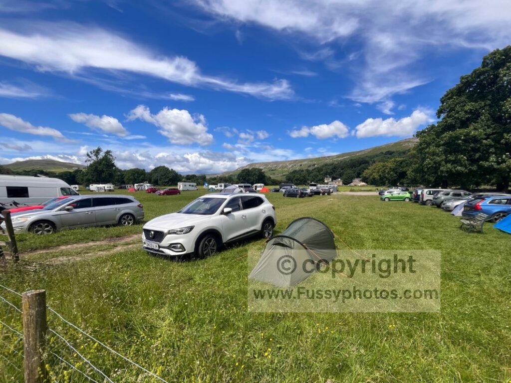
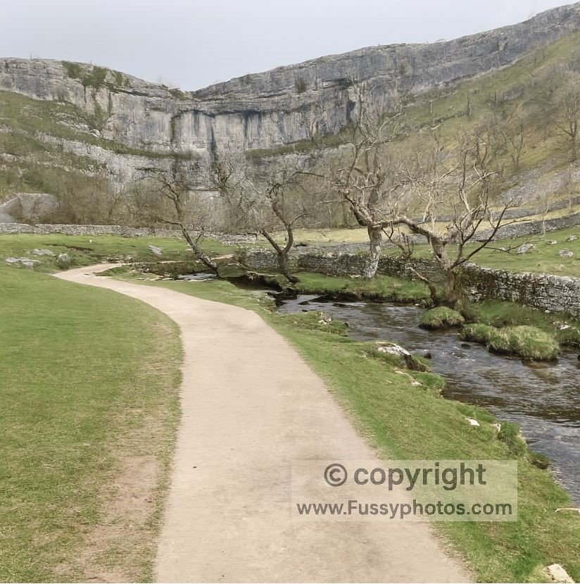
Both walks cross the Yorkshire Dales, but they do so in very different ways. The Pennine Way takes around 45 miles and 3 days to travel north to south, passing iconic highlights such as Malham and Pen‑y‑ghent. By contrast, the C2C crosses the Dales west to east, covering roughly 30 miles from Kirkby Stephen to Richmond. Officially this section is split into three stages, but it can easily be completed in two days, especially if you take the easier low‑level alternative through Swaledale.
Route Flexibility: C2C Alternatives vs Pennine Way Commitment
The Coast to Coast has multiple alternative routes, useful if you want to detour to nearby mountain summits like Helvellyn or cross easier terrain such as the green route near Nine Standards Rigg across moorland. By contrast, the Pennine Way has just two alternative routes. One is north of Tan Hill, where you can detour to Bowes, a small village with very few amenities, though there is a small castle. The detour is actually longer than the traditional route, but with limited accommodation in Bowes it can be useful if you prefer to stop there rather than pay more to stay at Tan Hill.
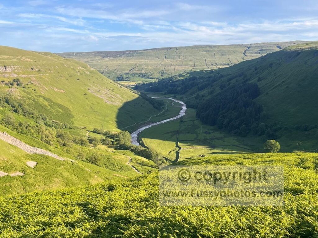
The only other alternative route is towards the very northern end of the trail in the Cheviots. The distance on the high and low Pennine Way finish is identical. The lower alternative presumably came about as a safety measure — a way to escape bad weather and aid navigation for weary walkers finishing what, for many, is a 27‑mile final day slog to the finish line. If you want a full breakdown of the two options, you can read Choosing Your Pennine Way Final Miles. Otherwise, the Pennine Way offers no mercy.
Terrain Comparison: Pennine Way vs Coast to Coast
The Pennine Way and Coast to Coast both cross upland moors, limestone country, farmland, and national parks — but they do so in very different sequences. The Pennine Way stays high, remote, and rugged for most of its length, while the Coast to Coast mixes mountain passes with farmland, moorland, and coastal cliffs.
Below is a side‑by‑side comparison of how the terrain unfolds across each trail.
Side‑by‑Side Terrain Overview
| Section Type | Pennine Way | Coast to Coast |
|---|---|---|
| Opening terrain | High moorland, gritstone edges, steep early climbs | Coastal cliffs, red sandstone headlands, gentle farmland |
| Mountain terrain | None (upland moors instead) | Steep Lake District passes, rocky ridges, glacial valleys |
| Limestone country | Malham Cove, Pen‑y‑ghent, Great Shunner Fell | Orton Scar, Shap Abbey, limestone farmland |
| Remote uplands | North Pennines, Cross Fell, long grassy miles | Nine Standards (brief), then easier farmland |
| Moorland plateaus | South Pennines, Northumberland moors | Cleveland Hills, North York Moors |
| Final section | Cheviots: exposed ridges, big horizons | Coastal cliffs into Robin Hood’s Bay |
Detailed Terrain Comparison by Region
Opening Sections: Peak District vs Cumbria Coast
Pennine Way – Peak District
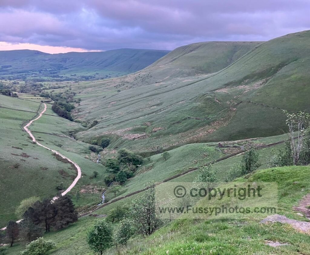
The Pennine Way begins with high moorland, gritstone edges, deep peat groughs, and flagstone paths. It’s steep, rugged, and exposed from the very first miles.
Landmarks: Edale, Jacob’s Ladder, Laddow Rocks, Black Hill, Wessenden Reservoir.
Coast to Coast – Cumbria Coast
The C2C begins gently with red‑sandstone cliffs, wide sea views, and easy inland gradients before turning towards the Lake District.
Landmarks: St Bees Head, Fleswick Bay, St Bees Lighthouse.
Early Uplands: South Pennines vs Lake District
Pennine Way – South Pennines
Long, rolling moorland plateaus dominate, with remote upland walking despite passing near densely populated valleys.
Landmarks: Stoodley Pike, Blackstone Edge, M62 footbridge.
Coast to Coast – Lake District
The hardest terrain of the entire C2C: steep passes, rocky ascents, glacial valleys, and high‑level ridges.
Landmarks: Ennerdale Water, Loft Beck, Honister Pass, Haystacks, Grasmere, Kidsty Pike.
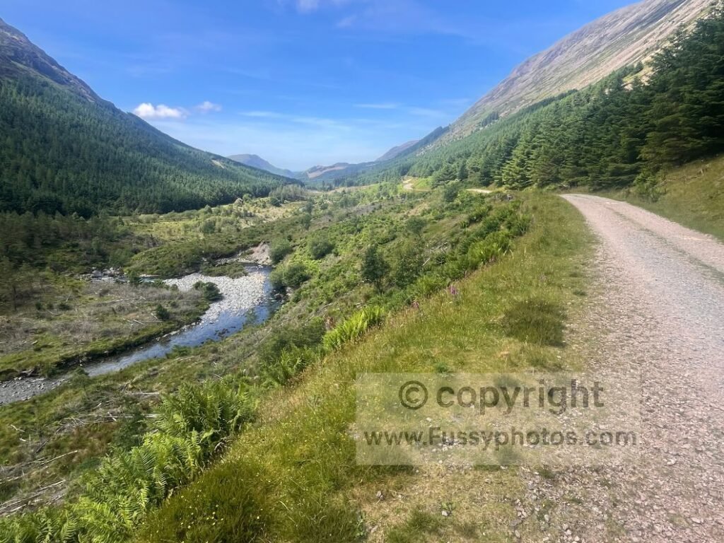
Limestone Country: Yorkshire Dales (Both Trails)
Pennine Way – Yorkshire Dales
A welcome shift after and muck and manure to limestone scenery, drystone walls, and fast stony tracks, with big climbs at Malham Cove, Pen‑y‑ghent, and Great Shunner Fell.
Landmarks: Malham Cove, Pen‑y‑ghent, Great Shunner Fell.
Coast to Coast – Yorkshire Dales
Boggy moor tops near Nine Standards, followed by limestone valleys, old mine works with moorland and riverbank paths leading to Richmond.
Landmarks: Nine Standards Rigg, Keld, Richmond Castle.
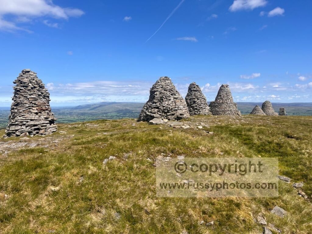
High Pennines vs Lowland Farmland
Pennine Way – North Pennines
Bleak moorland plateaus, long grassy miles, and some of the most remote terrain in England.
Landmarks: River Tees, High Force, High Cup Nick, Cross Fell (893m).
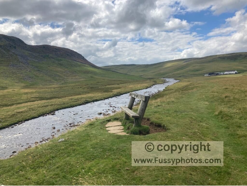
Coast to Coast – Vale of Mowbray
A complete contrast: flat farmland, quiet lanes, and fast, easy miles.
Landmarks: None.
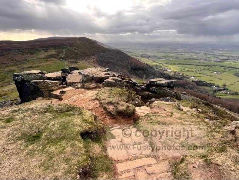
Final Uplands: Cheviots vs Cleveland Hills & North York Moors
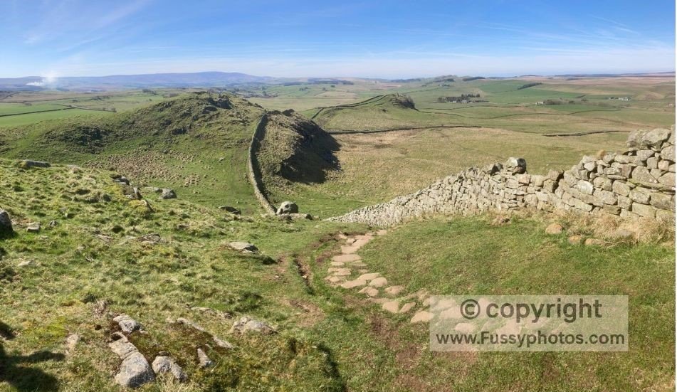
Pennine Way – Northumberland National Park
One of the remotest parts of the UK: broad grassy ridges, boggy moorland, wind‑exposed summits, and huge horizons.
Landmarks: Hadrian’s Wall, The Cheviot Hills.
Coast to Coast – Cleveland Hills & North York Moors
A return to steep climbs and big views across heather moorland, followed by wooded valleys and a scenic descent to the coast.
Landmarks: Carlton Bank, Wainstones, Clay Bank, Grosmont Steam Railway, Littlebeck Woods, Falling Foss Waterfall.
Finale: Cheviots vs North Yorkshire Coast
Pennine Way
The trail finishes in the remote Cheviots and a quiet but beautiful descent into Kirk Yetholm.
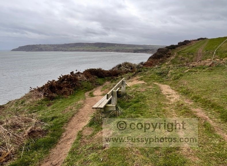
Coast to Coast
An exciting coastal finish with cliff‑top paths and a steep descent into Robin Hood’s Bay.
Logistics: Accommodation, Food, Transport, Escape Points
Amenities and Overnight Stops: Coast to Coast vs Pennine Way
It’s noticeable on the Coast to Coast that amenities are far more frequent, and there are no stages that end in the middle of nowhere (unlike Standedge or Windy Gyle on the Pennine Way). This makes the C2C much easier to organise as a thru‑walk. For most of the trail there’s always somewhere with a bed at the end of the traditional stages, and you can rely on buying breakfast and an evening meal almost every day. On some days, I even found it easy to buy three meals without carrying anything extra.
You also pass through Richmond and Kirkby Stephen, both relatively large towns with plenty of shops and amenities — ideal for resupply.
By contrast, the Pennine Way is more isolated, passing through smaller, quieter settlements. Infrastructure for thru‑walkers is noticeably less abundant. Even if you follow the traditional stages, accommodation can be limited:
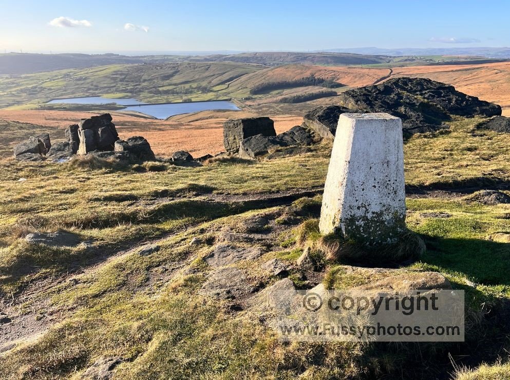
- Day 1 – Crowden: seasonal campsite, no shops, no pubs, no beds
- Day 2 – Standedge: simply a summit, no settlement, no amenities
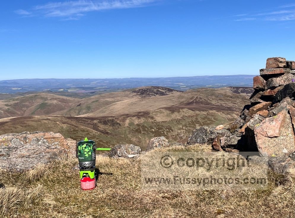
As a result, Pennine Way walkers often need to be more independent, considering camping and carrying a stove to cook meals. This means a heavier pack across an already longer, harder trail.
If you want a sense of what those early days feel like in real conditions, you can read my Pennine Way Days 1–3 Trip Report, which begins with the same mix of excitement, bog, and logistical reality many walkers experience.
Food and Resupply: Planning Ahead on the Pennine Way
After leaving Edale, there are no obvious resupply points unless you use taxis at the end of stages to reach nearby towns like Glossop or Marsden. Many Pennine Way walkers end up carrying 2–3 days of food at a time, which means:
- more weight
- fewer home comforts
- more planning
- more commitment
It’s a very different experience from the C2C, where food is easy to find on most days.
Transport & Access: Getting To and From Each Trail
Start and Finish Points: Coast to Coast vs Pennine Way
If you thru‑walk either trail from start to finish, there’s very little transport to worry about beyond getting to the start and getting home from the end. The Pennine Way begins at Edale, which sits neatly on the Sheffield–Manchester train line. Its official end at Kirk Yetholm, however, is a different story. The tiny village sits in the Scottish Borders, around an hour’s drive west of Berwick‑upon‑Tweed, so after 268 miles there’s a final test: simply getting home. You could join St Cuthbert’s Way but after 268 miles, would you want to?
If you need practical transport details for the start of the trail, you can read How to Access the Pennine Way by Train.
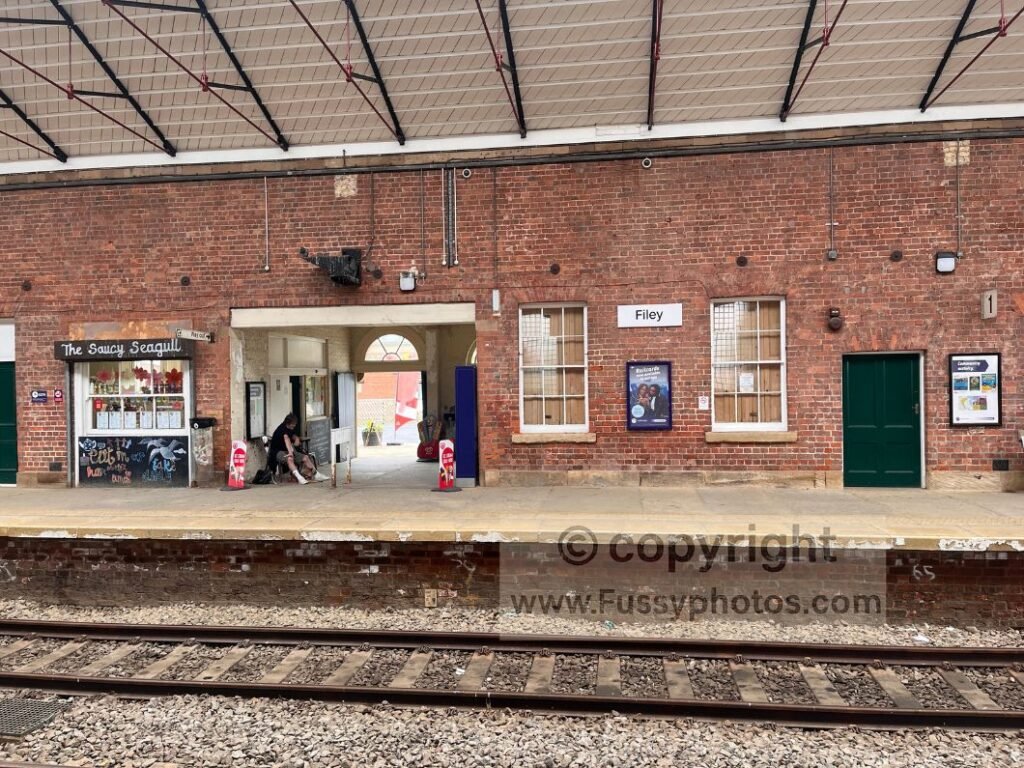
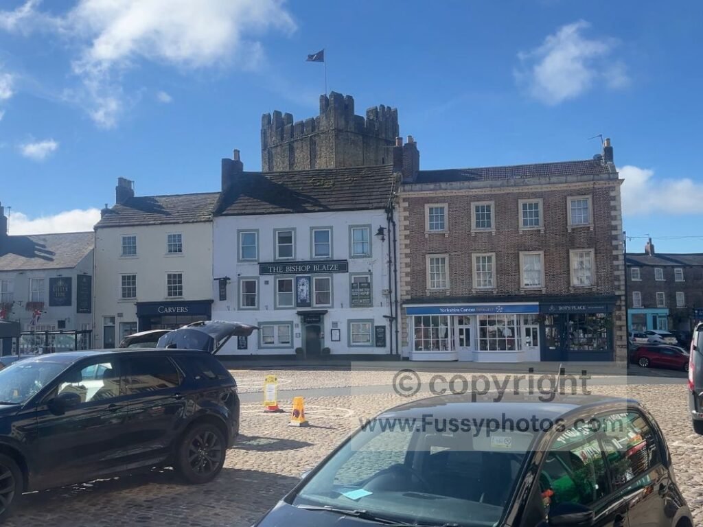
The Coast to Coast is easier. Its official start at St Bees has a train station, and its official end at Robin Hood’s Bay is served by regular buses. The X93 and X94 run north as far as Middlesbrough and south to Scarborough, where train stations can take you home. If you’re feeling adventurous, you could even join the Cleveland Way for its penultimate and final day — a superb stretch of coastal walking to Scarborough, or further south to Filey, which also has a train station.
Walking in Sections: An Easier Walk But Added Complexity for Both Trails
If you’re walking either trail in sections — one of the best ways to make both trails easier — there’s the added complication of getting to and from the trail multiple times. Both trails have sections where, once you’re on the trail, you’re committed. The Lake District along the C2C is a good example (though there are occasional bus services if you really need to leave the trail).
I walked the C2C in two stages, but with fewer large chunks of time available, the Pennine Way took me five stages. If you too want to walk either trail in sections, my How to Break the Pennine Way into walkable Stages and How to Walk the Coast to Coast in Sections guides should prove useful.
Summary: Transport & Access at a Glance
| Coast to Coast | Pennine Way | |
|---|---|---|
| Official start | St Bees – train station | Edale – train station |
| Official finish | Robin Hood’s Bay – buses to Scarborough/Middlesbrough | Kirk Yetholm – remote; nearest rail at Berwick‑upon‑Tweed |
| End‑of‑trail escape | Easy: buses + nearby rail | Hard: rural Scottish Borders, no direct public transport |
| Optional onward walking | Join Cleveland Way to Scarborough/Filey | St Cuthbert’s Way – starts in Melrose in the Scottish Borders and ends on Holy Island (Lindisfarne) in Northumberland. Both ends are reachable via public transport, with nearby rail links at Tweedbank (for Melrose) and Berwick-upon-Tweed (for Holy Island), plus local regional buses. |
| Walking in sections | Easier; more settlements & bus links | Harder; long remote stretches & fewer access points |
If you’re interested in continuing your journey along the coast, you can read my Cleveland Way Coastal Finale: Cloughton – Scarborough – Filey Highlights guide — a superb linear coastal finish that pairs naturally with the end of the Coast to Coast.
At‑a‑Glance Summary
- The Coast to Coast is far easier to reach, leave, and walk in sections.
- The Pennine Way demands more planning, especially at the finish and in remote northern sections.
- C2C walkers benefit from rail at the start, buses at the end, and multiple access points.
- Pennine Way walkers face remote Scottish Borders logistics, limited escape points, and more complex section‑walking.
- These differences significantly shape how each trail feels to walk, especially for anyone not doing it in one continuous push.
Escape Points and Weather Shelters
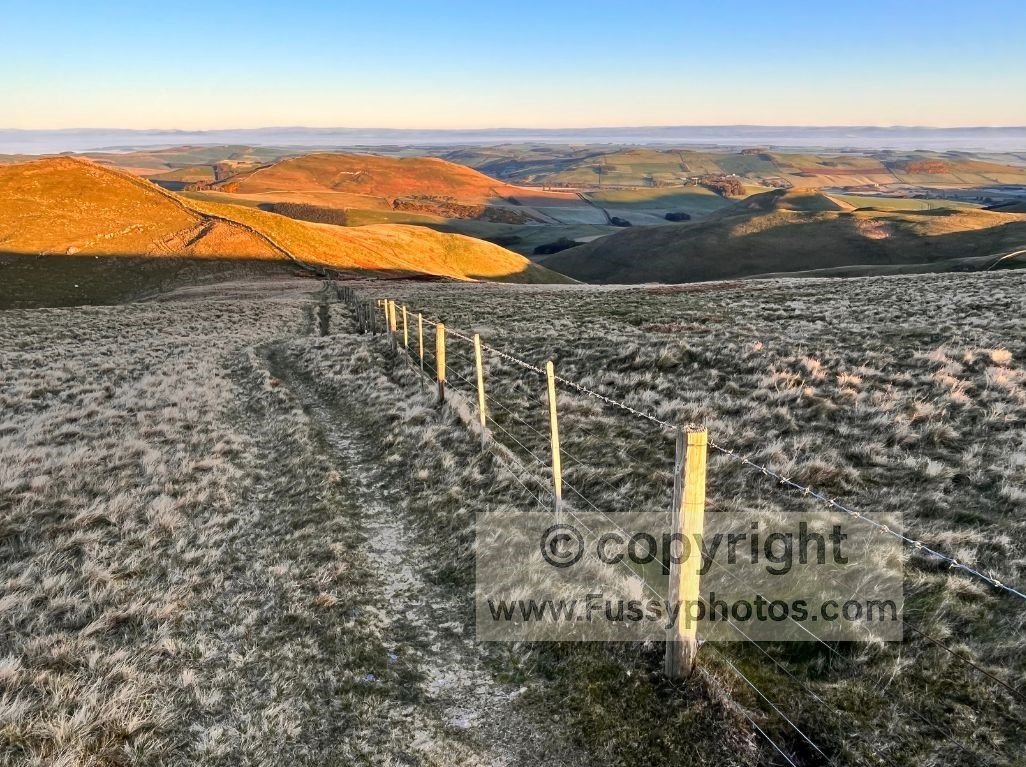
On Day 1 of my Coast to Coast walk (in reverse), I escaped the rain by taking lunch in The Hare & Hounds pub at Hawsker. There’s no equivalent escape option on Day 1 of the Pennine Way — you’re committed to the moors from the moment you leave Edale.
This difference is subtle but important: the C2C gives you regular chances to step indoors, dry off, reset, and regroup. The Pennine Way does not.
If you want to see exactly how that first reverse‑direction day unfolded — including the weather front, the moorland exposure, and the handful of places to take cover — you can read my Coast to Coast Day 1: Robin Hood’s Bay → Egton Bridge trip report.
Northern Sections: Increasing Isolation on the Pennine Way
Once you reach the North Pennines and Northumberland National Park, logistics on the Pennine Way become even more challenging. Distances between settlements increase, accommodation thins out, and escape points become rare. It’s not that the C2C always has amenities and the Pennine Way never does — there are exceptions on both trails — but overall, I’d strongly argue that a successful Coast to Coast walk is simply easier to plan.
Summary: Key Logistic Differences Between the Two Trails
| Coast to Coast | Pennine Way | |
|---|---|---|
| Accommodation frequency | Frequent; beds at most stage ends | Sparse; several stage ends with no amenities |
| Food availability | Easy to buy 2–3 meals/day | Often must carry 2–3 days of food |
| Resupply towns | Richmond, Kirkby Stephen | Edale only early; then limited |
| Escape points | Regular pubs/cafés (e.g., Hawsker) | Almost none on key days (e.g., Day 1) |
| Terrain isolation | Mixed; villages most days | High isolation in North Pennines & Northumberland NP |
| Pack weight | Lighter; fewer self‑sufficiency demands | Heavier; stove + food often required |
| Stage endings | Always in settlements | Crowden, Standedge, Windy Gyle = no amenities |
At-a-Glance Summary
- The Coast to Coast is easier to plan, easier to feed yourself on, and easier to escape bad weather.
- The Pennine Way demands more independence, more weight, more planning, and more resilience.
- The C2C is logistically forgiving; the Pennine Way is logistically uncompromising.
- These differences significantly shape how each walk feels day to day.
Which Walk Is Harder, the Pennine Way or the Coast to Coast?
Overall Difficulty: Elevation, Pace, and Terrain
Overall, I found the Coast to Coast flatter and quicker, with noticeably more road and track walking than the Pennine Way. The Lake District section is steeper and physically harder, but once you leave the mountains behind, the trail becomes progressively easier.
If you want practical ways to make the Coast to Coast feel more manageable — from pacing and staging to easier route variations and pack‑weight strategy — you can read Is the Coast to Coast Hard? (How to Make It Easier).
The Vale of Mowbray is a good example: a flat, physically easy but mentally monotonous stretch that allows fast‑paced walking, even if it’s arguably dull.
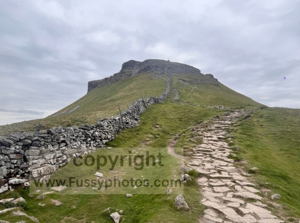
By contrast, there are very few lowland or flat areas on the Pennine Way. In fact, at times the trail deliberately goes up hills rather than around them — Pen‑y‑ghent being a perfect example. The Pennine Way rarely gives you an easy day, and the terrain keeps you working from start to finish.
If you want practical ways to soften the challenge — from staging, pacing, logistics, and weather strategy — you can read Is the Pennine Way Hard? (How to Make It Easier).
Trail Traffic, Solitude, and Psychological Difficulty
As mentioned earlier, around double the number of people thru‑walk the Coast to Coast compared to the Pennine Way. Add the fact that the Pennine Way is 78 miles longer, and the end result is a much quieter trail.
This isn’t necessarily a bad thing — especially if you enjoy solitude — but it does give the Pennine Way a more remote, self‑reliant feel. On the C2C, especially in the Yorkshire Dales, it felt like there was someone to say hello to every 5–10 minutes. The camaraderie on both trails is excellent, but on the Pennine Way, seeing another walker can sometimes feel like a relief.
How Difficulty Changes Across Each Trail
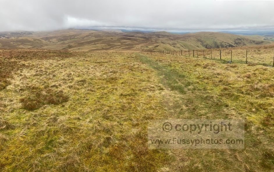
Interestingly, the C2C starts quite hard. The Lake District delivers big mountain passes, steep climbs, and large elevation gains. But the walk gets easier the further east you go.
The Pennine Way is the opposite. It starts with one of its hardest days — Edale to Crowden, 16 miles and around 950m elevation gain — before easing off slightly. But the final week across the North Pennines and the Cheviots is so remote and exposed that there’s no gentle winding down. The trail is testing right to the finish.
If you want to see what those final miles actually feel like in real conditions, you can read my Greenhead → Kirk Yetholm Trip Report.
Weather, Bog, and Ground Conditions
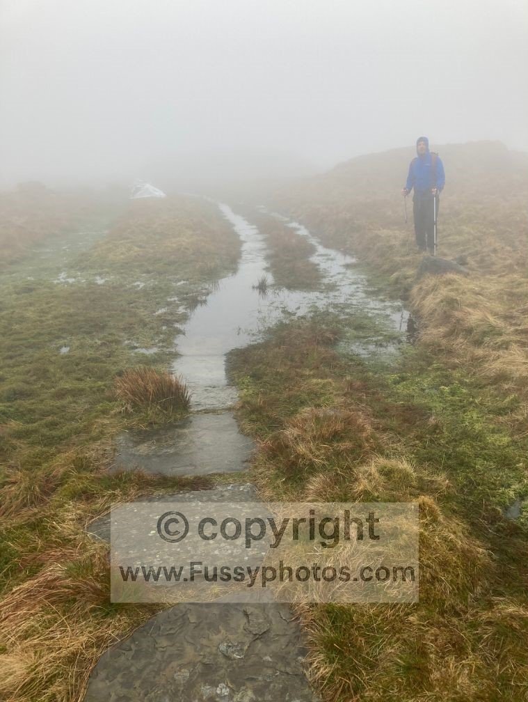
Overall, I found the Pennine Way noticeably boggier, slower going, and more likely to catch the full force of UK frontal rainfall. The C2C has its wet sections, the Lake District in particular, but the Pennine Way’s upland peat and exposed ridges make it more susceptible to heavy weather.
Navigation: How Hard Is Each Trail to Follow?
Pennine Way: Fear vs Reality
There’s a common fear that the Pennine Way is difficult to navigate. In truth, that fear usually comes from the idea of getting lost in the remote, isolated upland sections, rather than from the navigation itself. Both trails are generally well waymarked, and the Pennine Way is often clearer than people expect.
I link to my guide, Is the Pennine Way easy to navigate? in this section to reassure readers that, while the trail feels serious and exposed, the actual wayfinding is usually straightforward.. The path tends to follow obvious upland lines, ridges, and long moorland tracks. The remoteness may feel intimidating — the navigation rarely is.
Coast to Coast: Varied Terrain, Varied Navigation
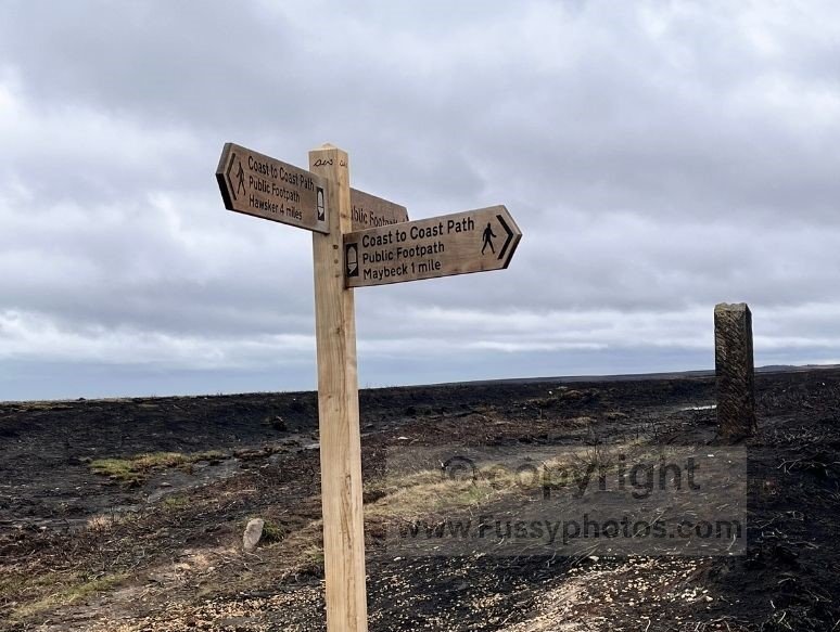
One of the trickiest places I found was Milebecks Moor. Multiple side trails split and rejoin across the moor, and signage was lacking. It was genuinely hard to know which of the many faint trails was the actual C2C. It’s ironic — signage is excellent for most of the route, but it disappears at times in the more remote areas where you really need it.
By contrast, signage in the North York Moors was excellent. It looks like they’ve done recent improvements there, and the waymarking is clear, consistent, and confidence‑boosting.
Direction Matters
Coast to Coast
Walking the Coast to Coast east to west is slightly harder to navigate than the traditional west → east direction. When you approach a junction from the west, you often arrive from a clear, well‑trodden line and meet a signpost that confirms you’re on the right track. But when walking east → west, that same signpost may be a mile or two ahead of you, meaning you’re travelling across faint paths towards the confirmation rather than away from it. On moorland sections, especially in poor visibility, this can make it harder to feel confident you’re on the correct line until you finally reach the sign. It’s not a major issue, but it’s noticeable — particularly on remote moors where multiple side trails split and rejoin.
Pennine Way
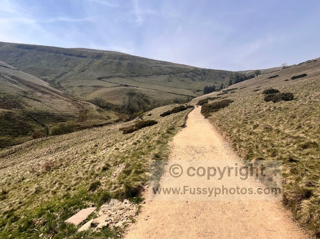
Travelling south to north, the Pennine Way is characterised by its remoteness. As the name suggests, the aim of the trail is to traverse the north of England via the Pennine Hills and, eventually, the Cheviots. Because of this upland focus, the trail often feels isolated, high, exposed, and tough. Walkers value it for the scenery, the challenge, the solitude, and the constantly changing terrain as you pass some of the UK’s most iconic upland landscapes. It’s a trail where the highlights are spaced apart — but there’s always something to look forward to.
Summary: Difficulty & Navigation at a Glance
| Aspect | Coast to Coast | Pennine Way |
|---|---|---|
| Overall difficulty | Starts hard, gets easier | Starts hard, stays serious |
| Terrain | Mixed; more road/track; flatter east | Upland, rough, boggy, exposed |
| Elevation | Steep in Lake District; easier later | Frequent climbs; hilltops preferred |
| Trail traffic | Busy in Yorkshire Dales; sociable | High where day‑walkers join (Edale, Malham, High Force, Hadrian’s Wall); otherwise quiet, remote, self‑reliant |
| Navigation | Varied; tricky at Milebecks Moor & mining areas | Easier than feared; clear upland lines |
| Waymarking | Excellent overall; gaps in remote moors | Consistent; fear comes from remoteness |
| Direction differences | East→West slightly harder | Same difficulty both directions |
| Weather impact | West wetter; dries eastwards but moors still wet | Catches frontal rainfall across most of the route |
| Final week | Easier; flatter | Hardest; Cheviots + North Pennines |
If you want a ranked breakdown of the Pennine Way’s toughest individual miles — the steep climbs, bog‑heavy moors, exposed ridges and morale‑testing sections — you can read Hardest Parts of the Pennine Way (Ranked).
Sightseeing & Off‑Trail Options
Pennine Way: Wilderness First, Sightseeing Second
The Pennine Way isn’t a sightseeing trail in the same way the Coast to Coast is. Its appeal is the wilderness, the remoteness, and the long upland miles where the landscape is the main event. That said, there are a few excellent off‑trail options that sit close enough to the route to be worth mentioning — especially if you’re walking in sections or want to build in a rest day.
You pass near several places where day‑walkers join the trail — Edale, Malham, High Force, and Hadrian’s Wall — and each of these offers a short detour with something memorable to see:
- Gordale Scar and Janet’s Foss – These sit close to Malham and make an outstanding half‑day diversion if you’re breaking the trail into stages. The main Pennine Way passes through Malham but skips both of these highlights, so if you want a route that includes them, you can read Why This Malham Circular Is Better Than the Original.
- Wensleydale Creamery – a genuine on‑trail attraction in Hawes. It’s one of the most enjoyable cultural stops on the entire Pennine Way, offering food, rest, and a change of pace
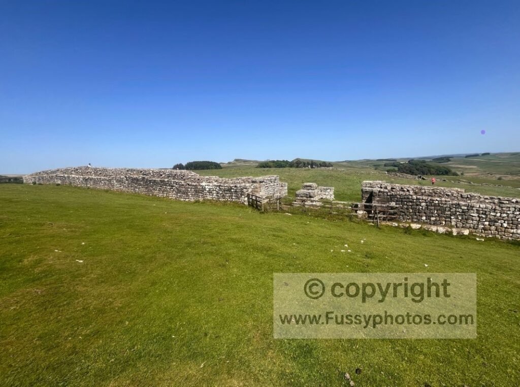
- Hadrian’s Wall to Homesteads — continuing beyond the Pennine Way turnoff towards Bellingham. It’s one of the most atmospheric stretches of the Wall and fits naturally into a Pennine Way itinerary if you’re section‑walking.
These aren’t built into the Pennine Way itself, but they’re close enough to be tempting, and they add cultural depth to a trail that is otherwise almost entirely landscape‑driven.
Coast to Coast: Rich in Villages, History, and Detours
This is where the Coast to Coast shines. The trail passes through or near a string of places that reward short detours, slow mornings, or extended lunch stops.
Some of the best include:
- Richmond Castle
- Grasmere
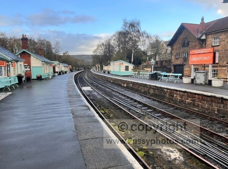
- Grosmont Steam Railway
- Whitby
The C2C’s variety of villages, heritage sites, and scenic detours makes it feel more culturally rich and more flexible. You can turn a day into a mini‑holiday without leaving the trail corridor.
If you want a deeper look at the very best scenery on each trail, you can read my Top 10 Pennine Way Highlights and Top 10 Coast to Coast Highlights — two visual guides to the standout places each route is known for.
Which Walk Should You Choose?
Choose the Pennine Way if:
- You want solitude
- You enjoy remote uplands
- You like endurance challenges
- You prefer wild landscapes
- You’re comfortable with long, exposed days
Choose the Coast to Coast if:
- You want variety
- You enjoy villages + pubs
- You want flexible itineraries
- You want a shorter, easier walk
- You like mixing walking with sightseeing
- You want a classic finish at the sea
If you want help shaping a realistic itinerary — daily mileage, accommodation style, pack weight, direction, and how to fit the walk around real‑life commitments — you can read Coast to Coast: How to Plan Your Best Walk.
Explore the Coast to Coast and Pennine Way In More Detail
If you’d like deeper planning advice, stage breakdowns, difficulty insights and full route guidance for each trail, you can explore my Pennine Way Hub and Coast to Coast Hub — two complete resources designed to help you plan your best walk.